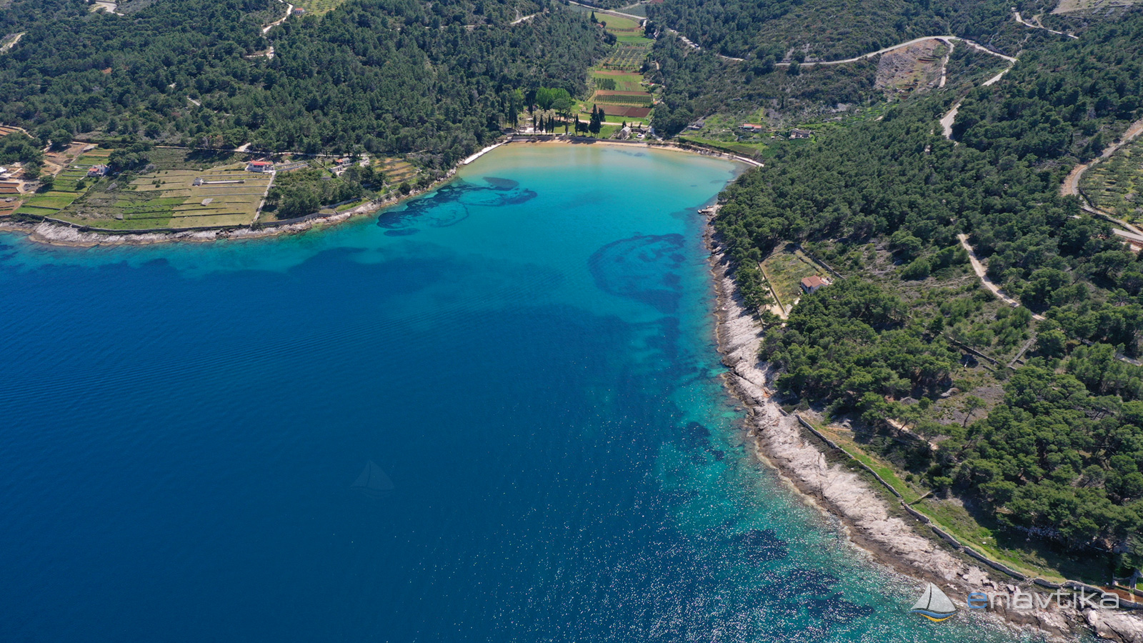
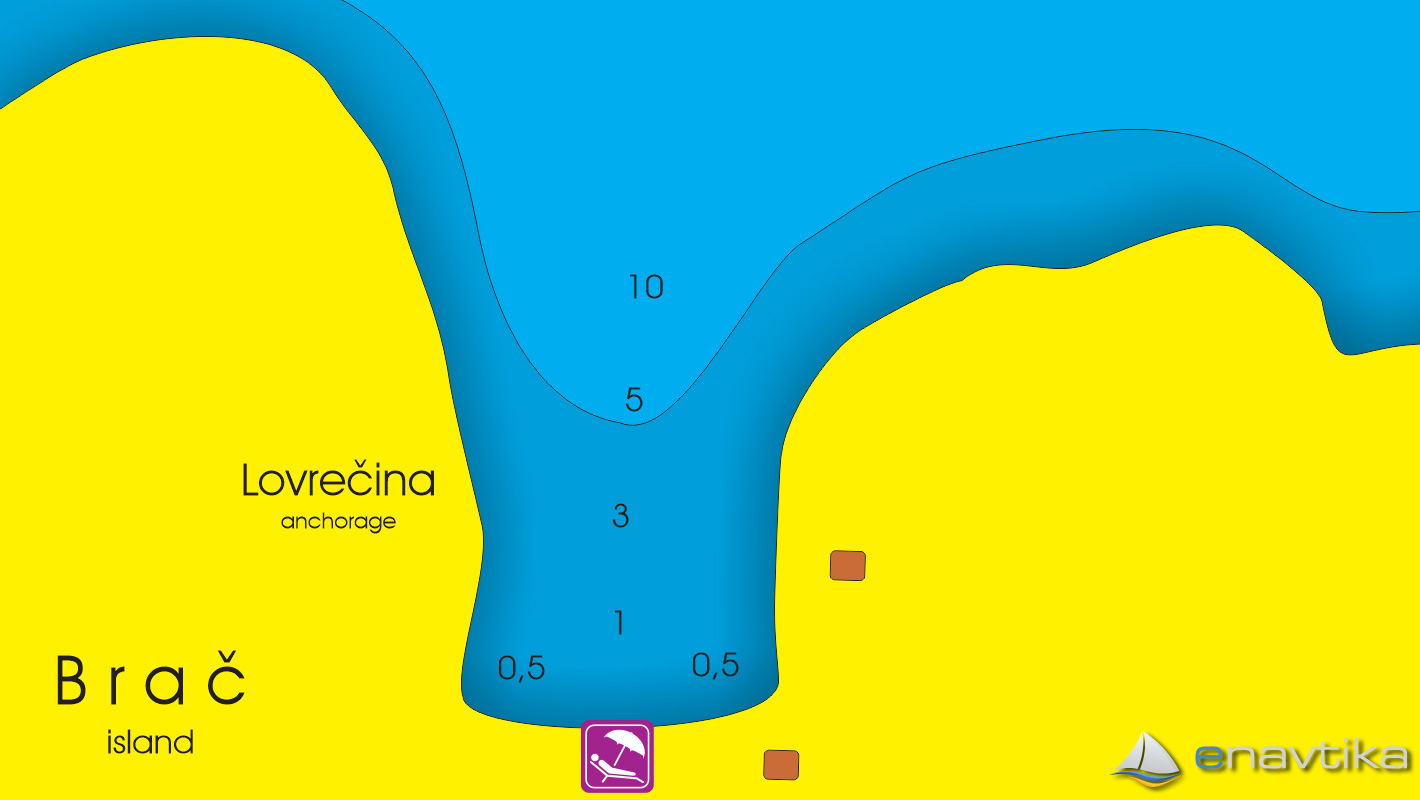
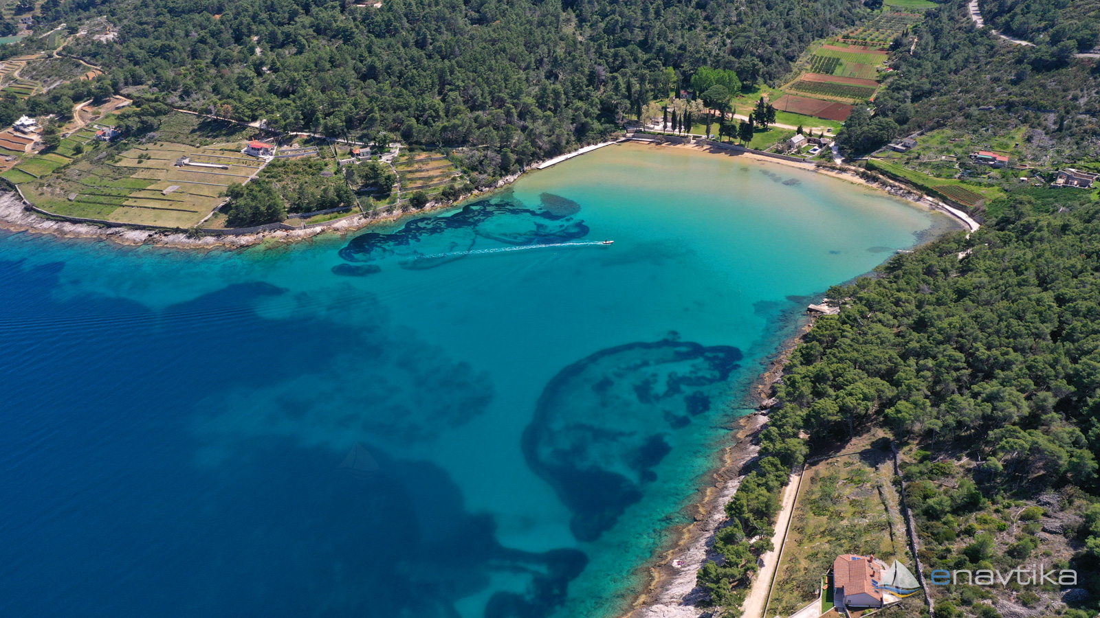
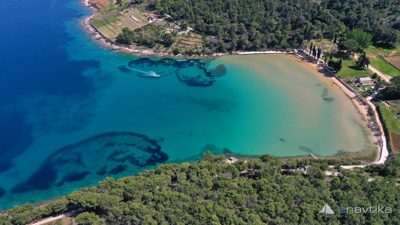
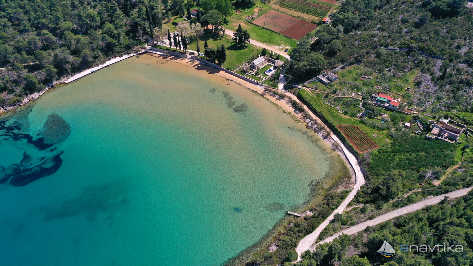
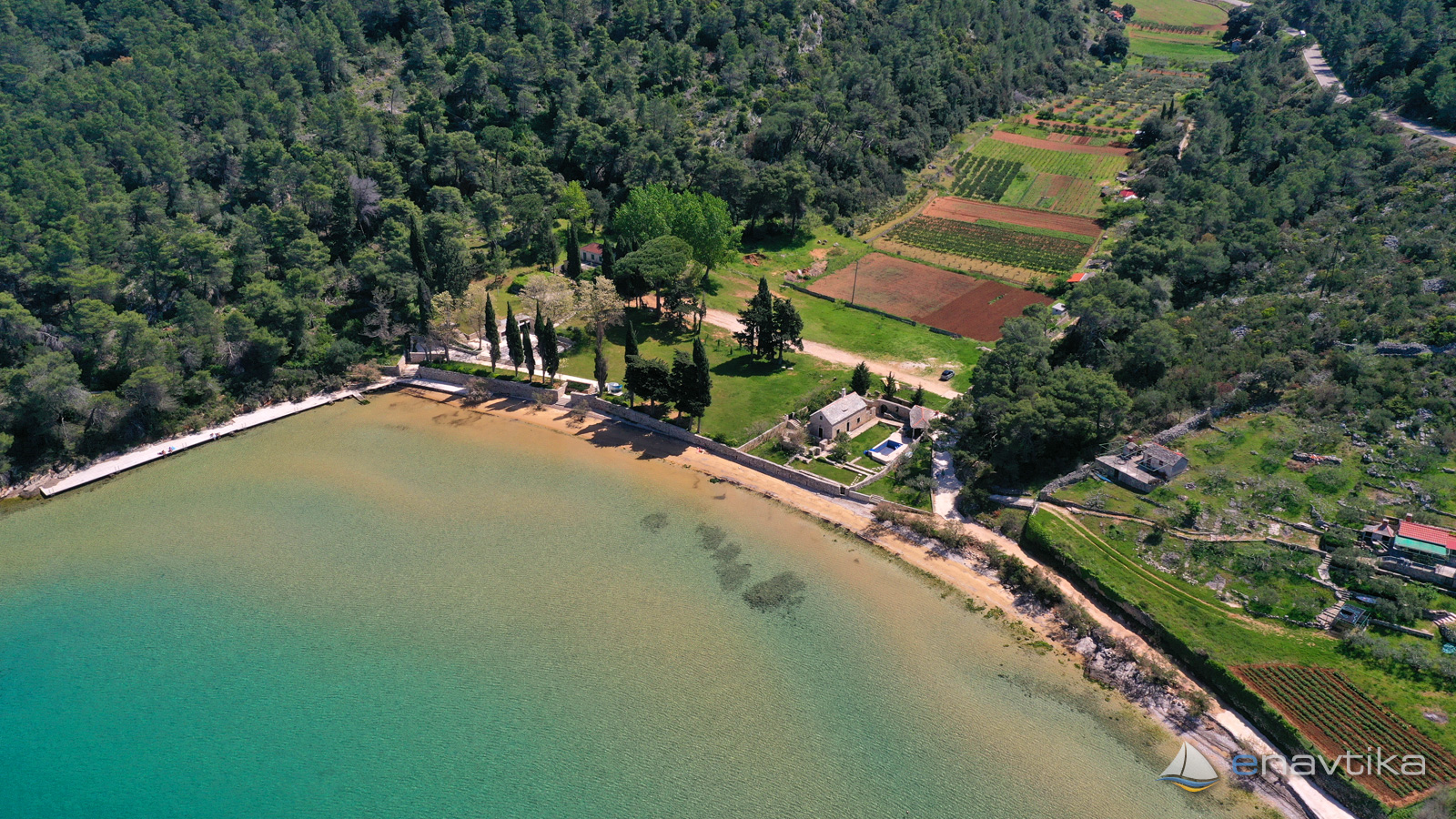
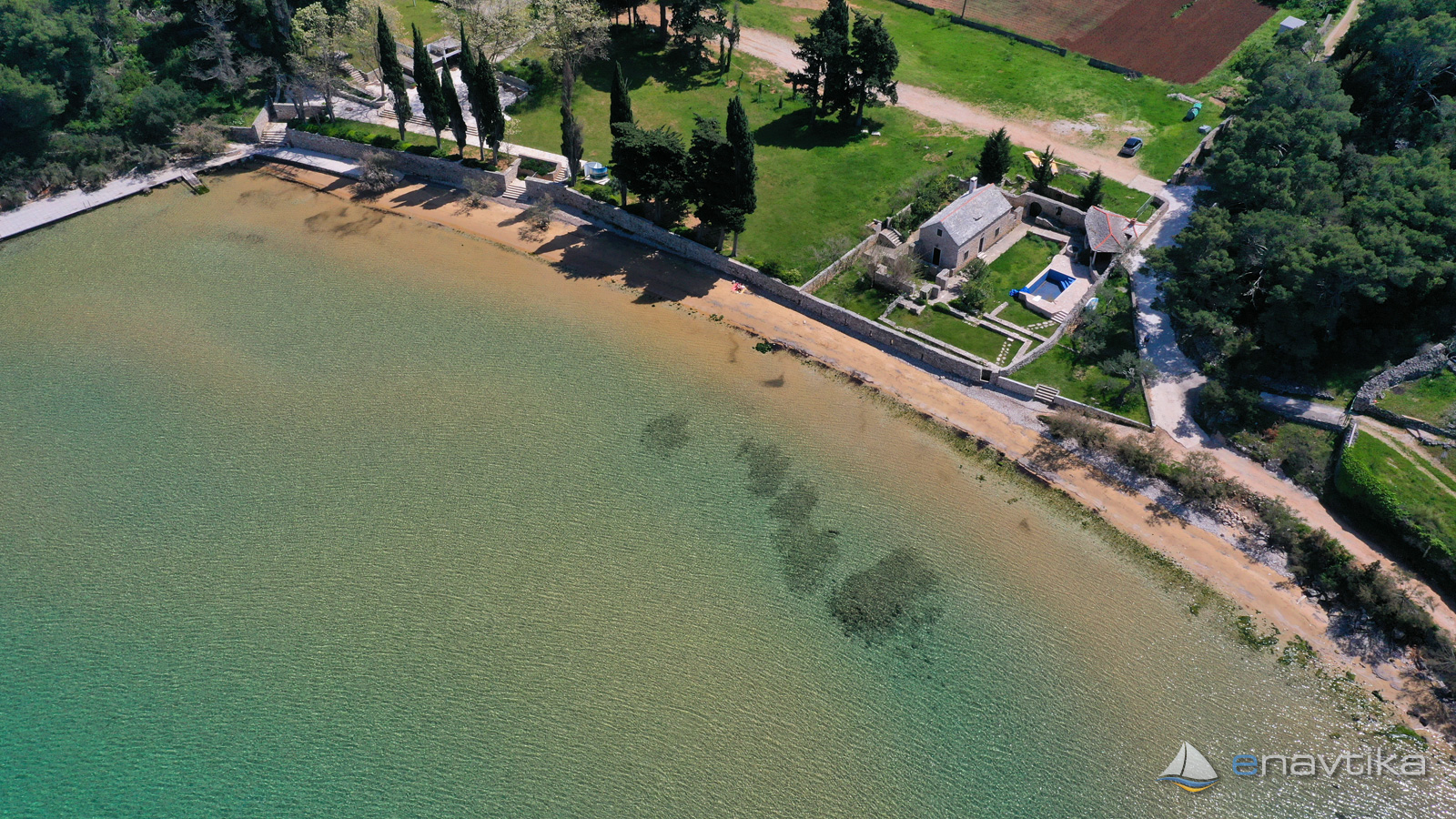
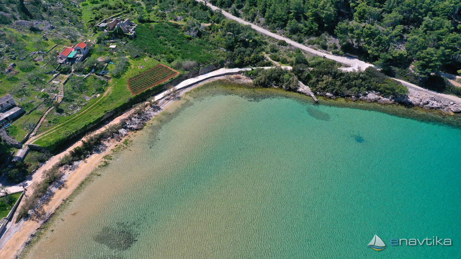
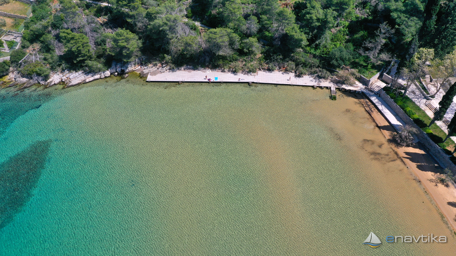
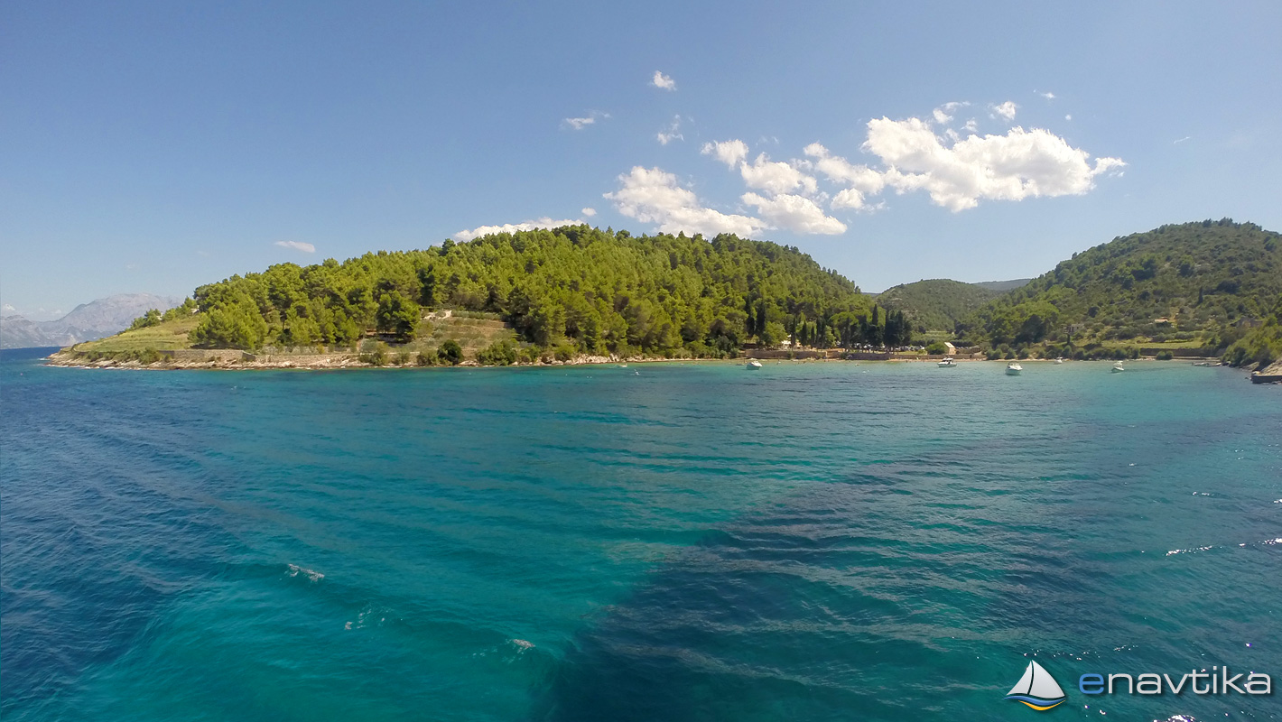
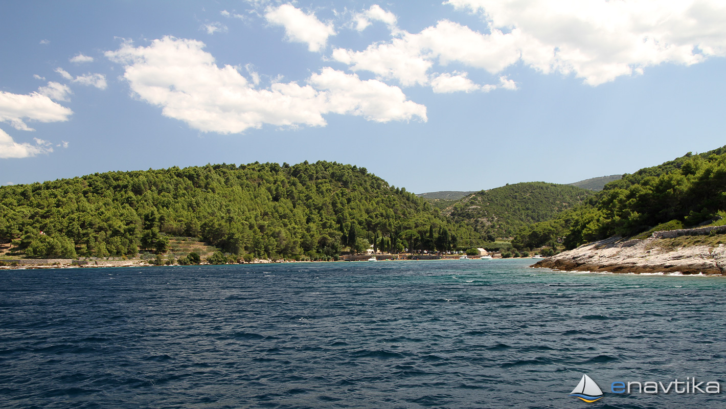
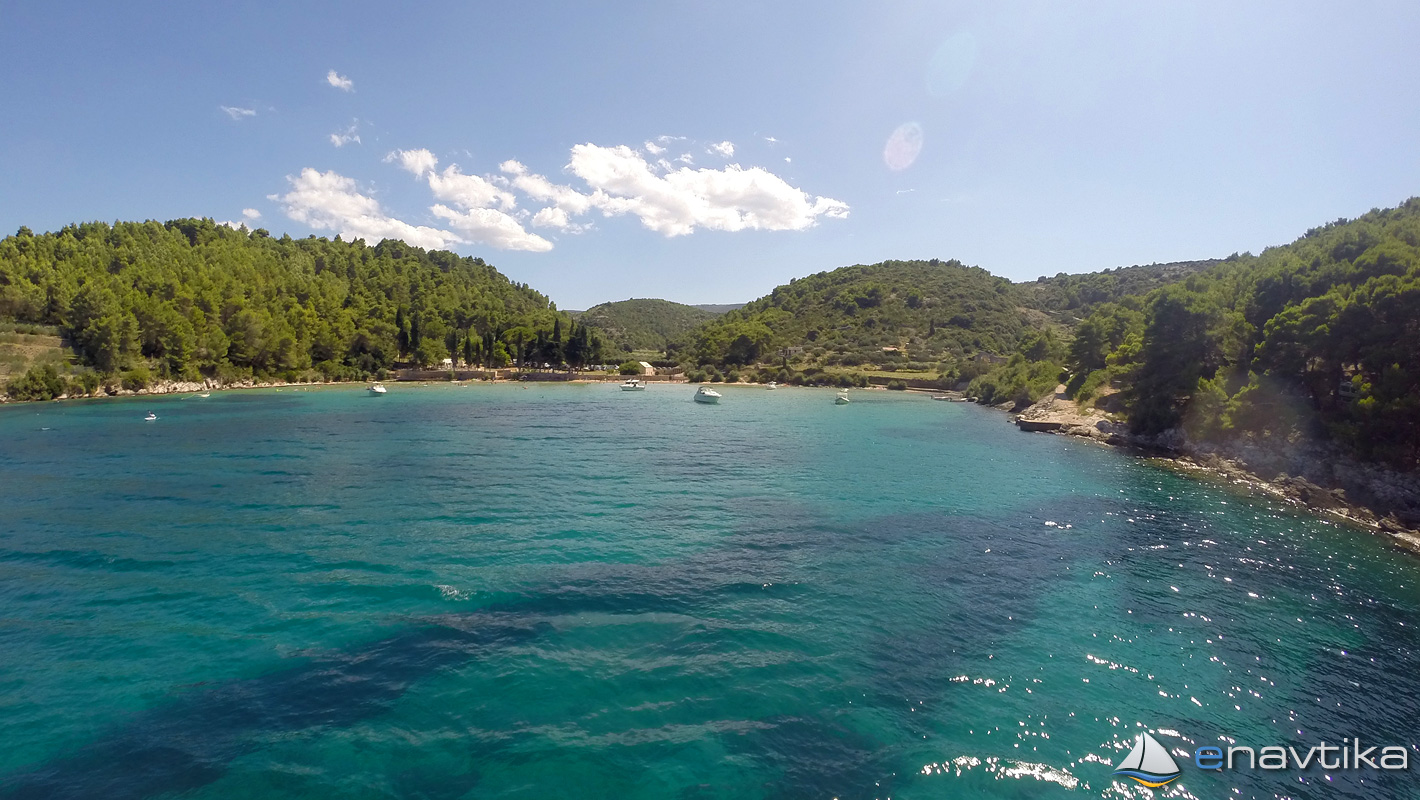
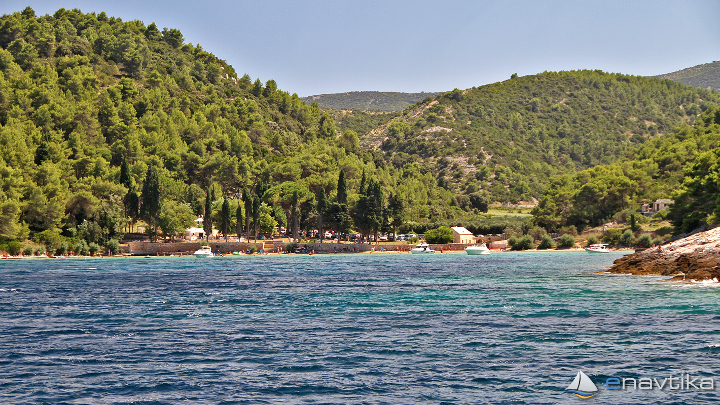
Lovrečina Bay is on the north side of the island of Brač, between the town of Postira in the west and Pučišča in the east. It is well protected from all winds except northerly directions. The bottom is sandy and the anchor holds well. In the southern part of the bay, the depth is between 0.5 - 1 m, while in the northern part the watter depthrises to 9 m. We can anchor at depths of 2 – 8 m. There is a sandy beach in the bay, connected with the road. During the season, the bay is crowded with day bathers and many boaters on day trips. The bay is usually empty during the night. There is no offer in the bay. The nearest inn is in Postira, and the nearest gas station is in Split, which is 12 nmi by boat or in Milna on the island of Brač, which is 15 nmi by boat. No concession has been granted for the bay. There is no need to pay for an overnight stay in the bay.


 Sidrište

 Lozna Vela
Sidrište
0.28 nmi
Lozna Vela
Sidrište
0.28 nmi

Komentari