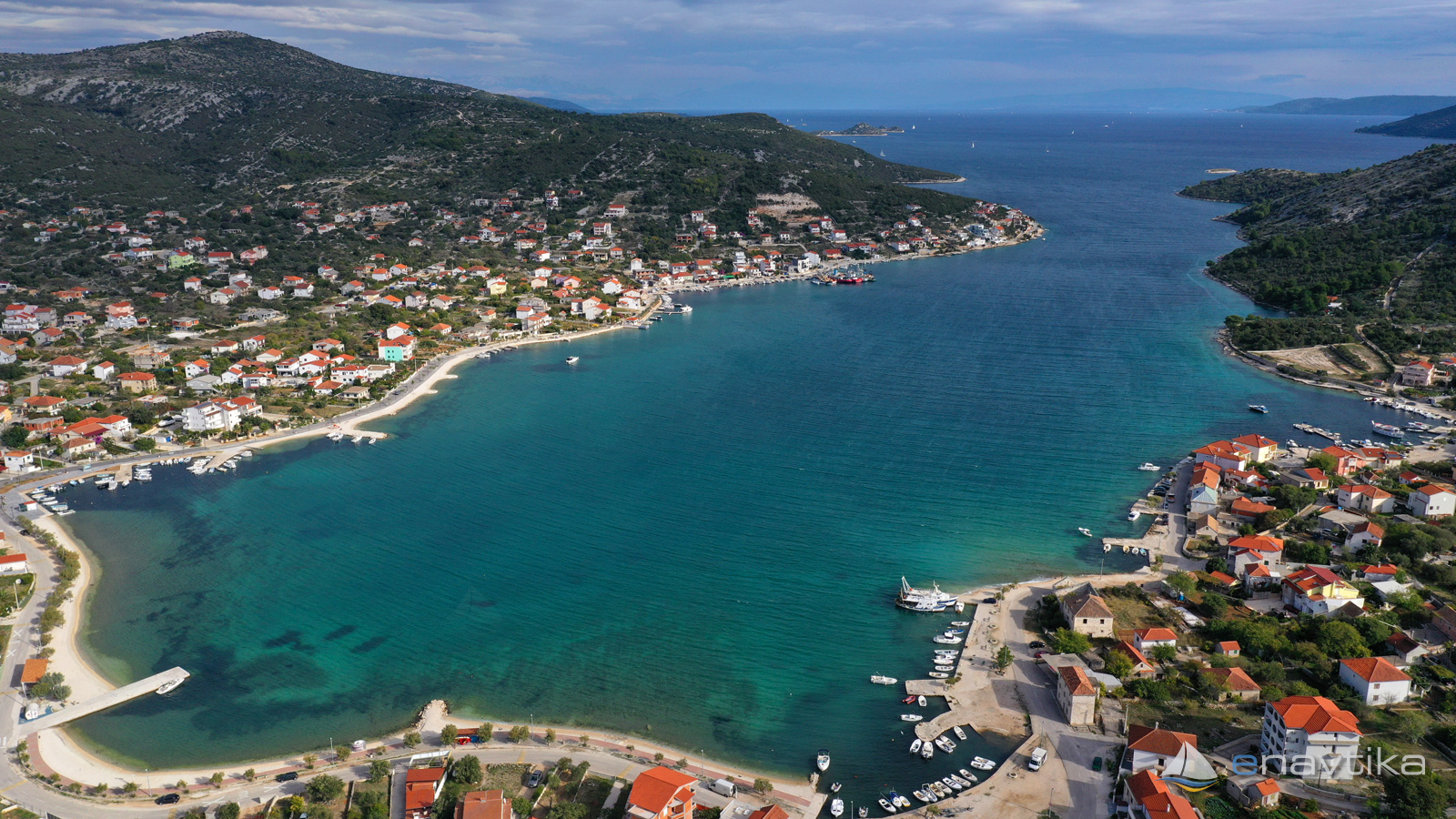
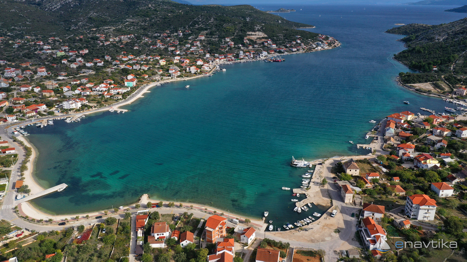
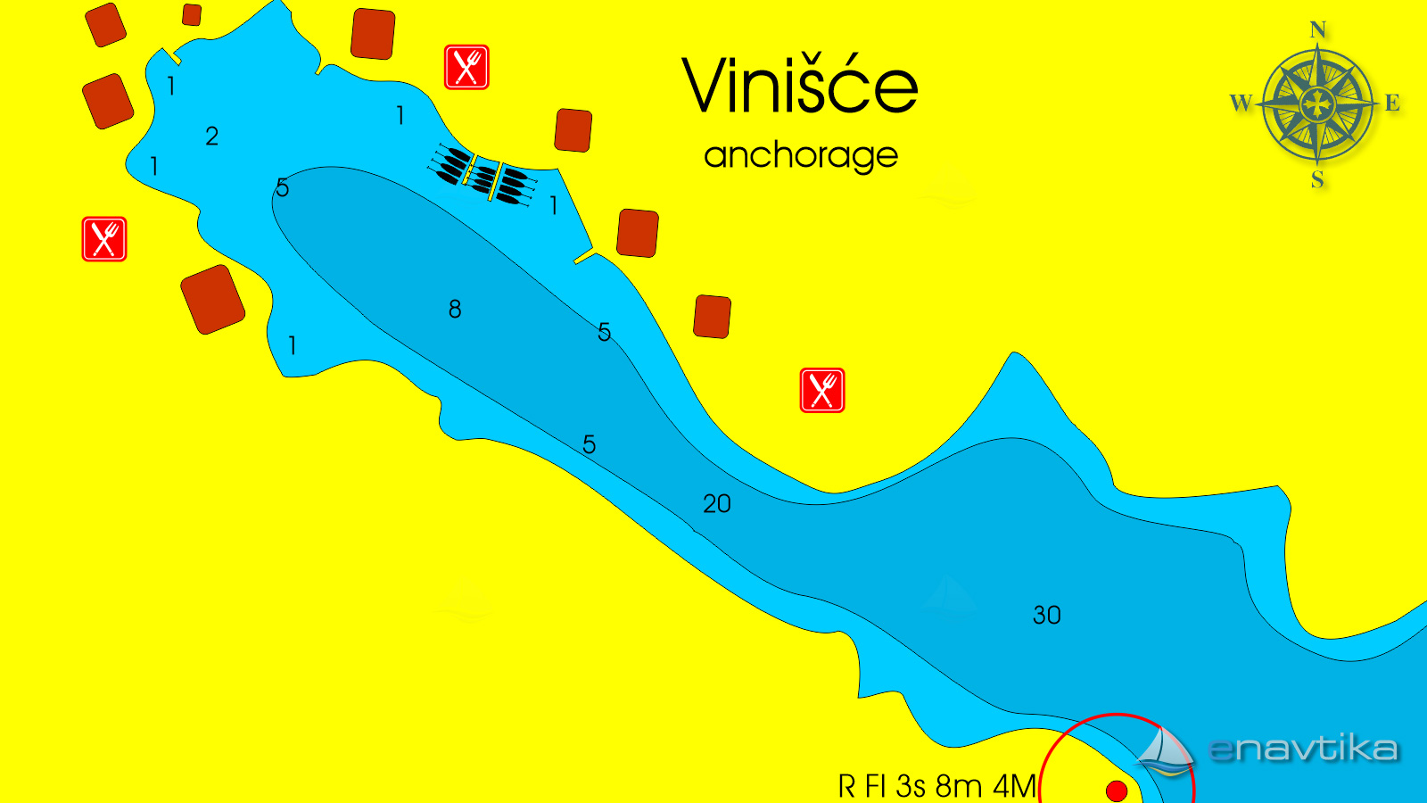
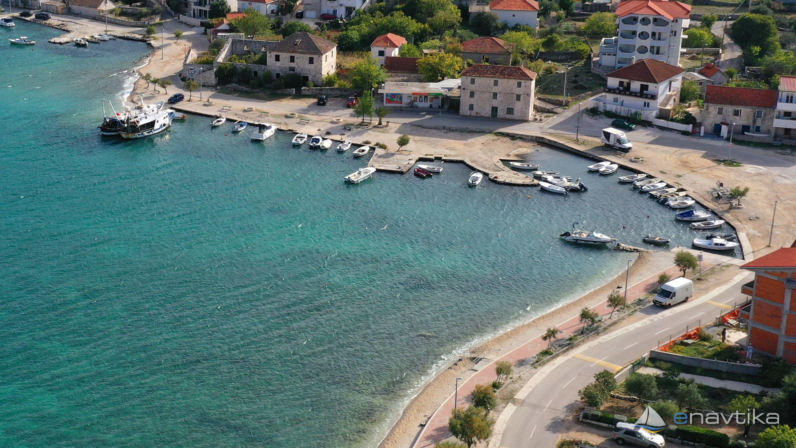
Vinišće
Splitsko-Dalmatinska
 Anchorage
Data
| GPS | 43° 29' N , 16° 6' E |
| Nr. of moorings | 0 |
| Water depth | 1 - 15 m |
| Opening hours | 1.1. - 31.12 |
| Place | Vinišče |
About
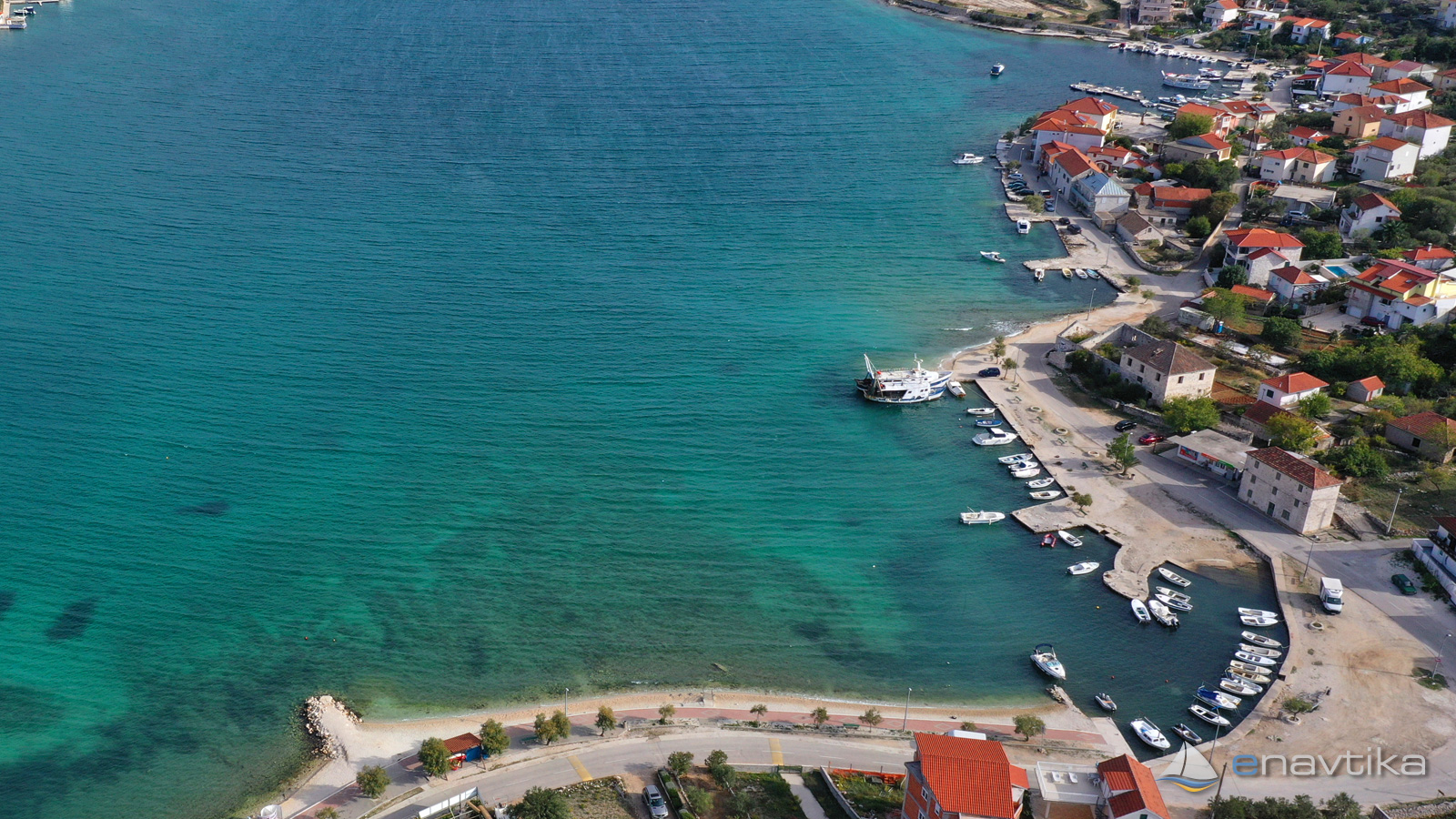
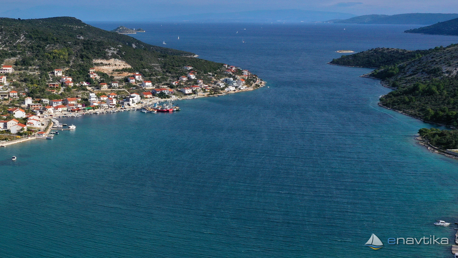
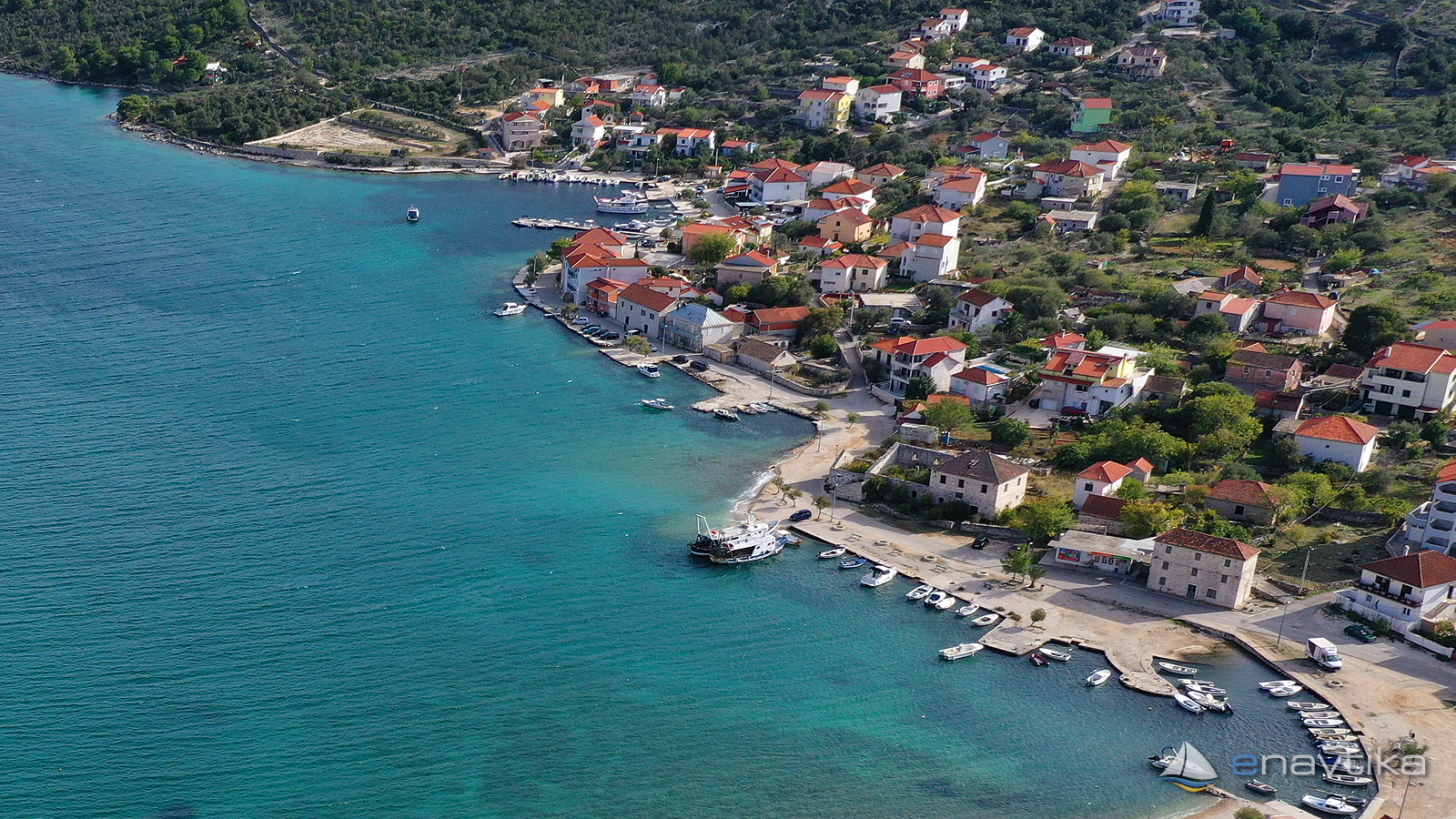
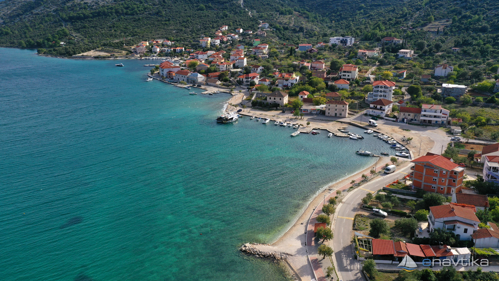
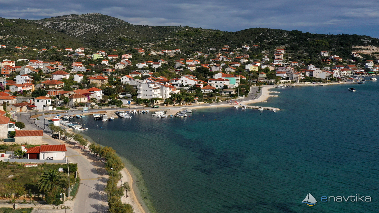
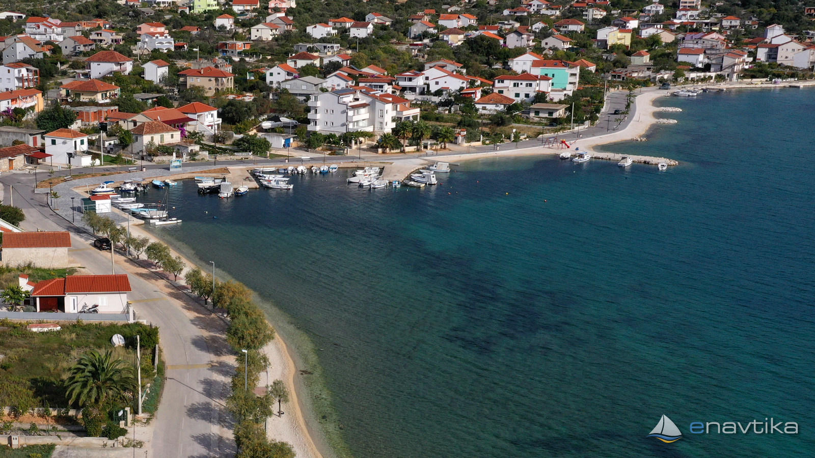
Vinisce is a long narrow bay south of marina Agana. It is well protected against all winds except from the south-east side. Strong bura (NE wind) and jugo (SE wind) are causing waves in the bay. Bura (NE wind) changes the direction to E wind in the Brac channel. During the recording there was 12 to 15 knots of bura (NE-wind) in the bay. causing the waves seen on the photos.
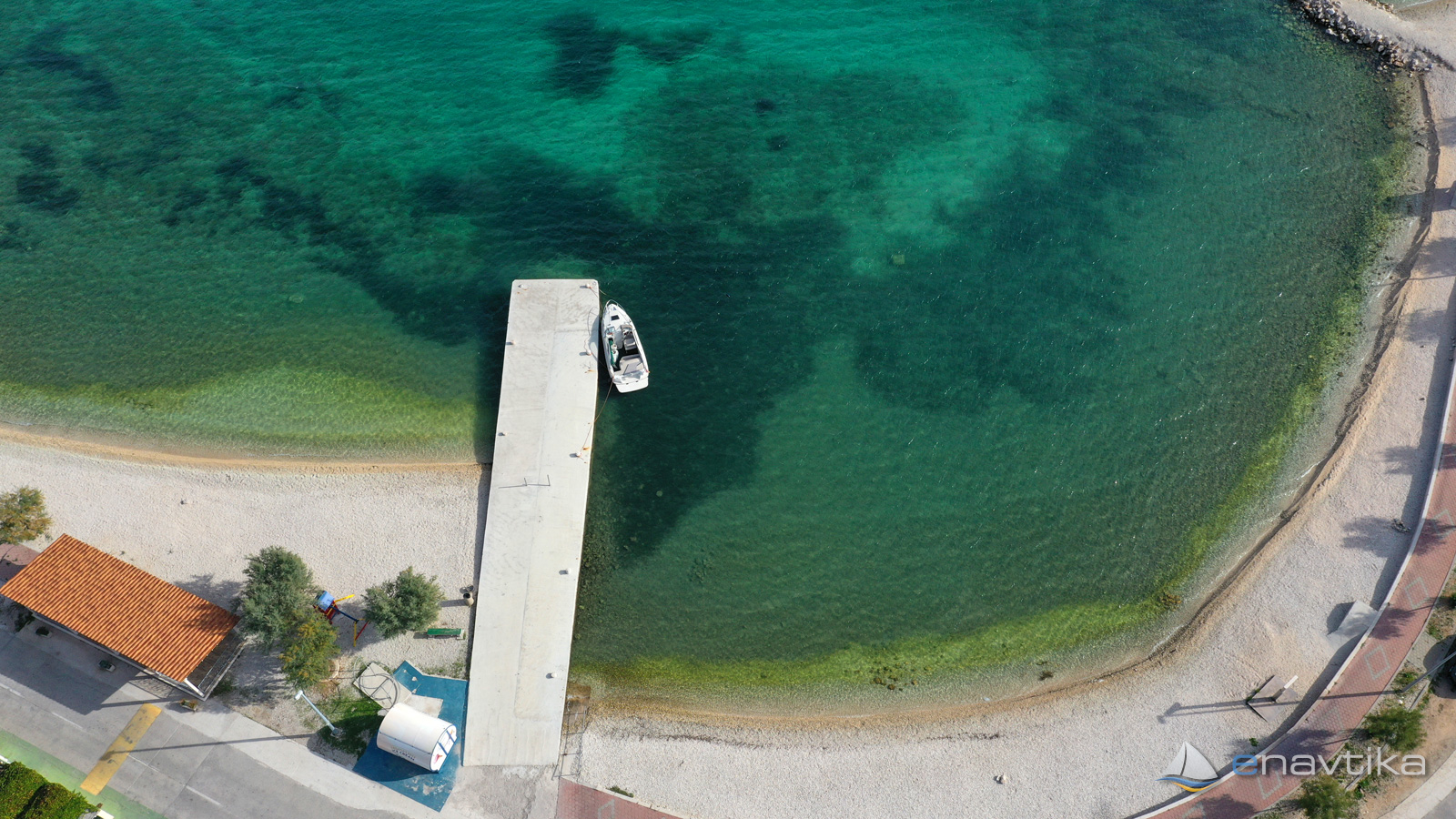
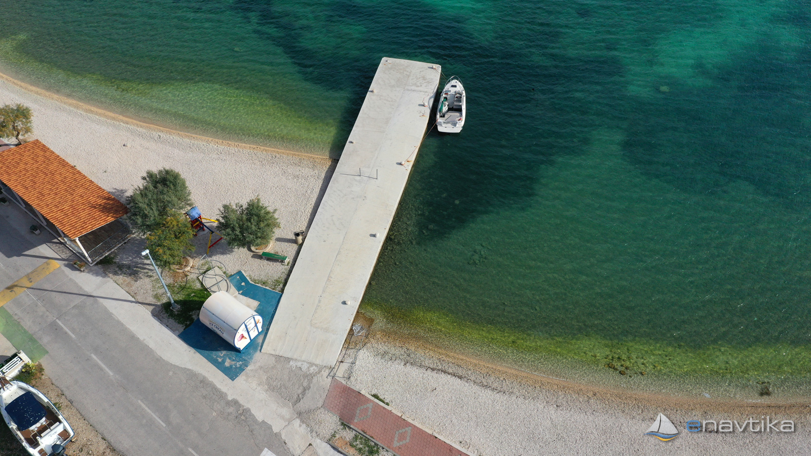
Seabed in the bay is sandy. Anchor holds well. Water depths are between 2 and 15 m. There are multiple piers in the bay. Docking is possible on the north-west one. Water depth at the pier is just 1 m. Docking is suitable only for boats wit draft less than 1 m.
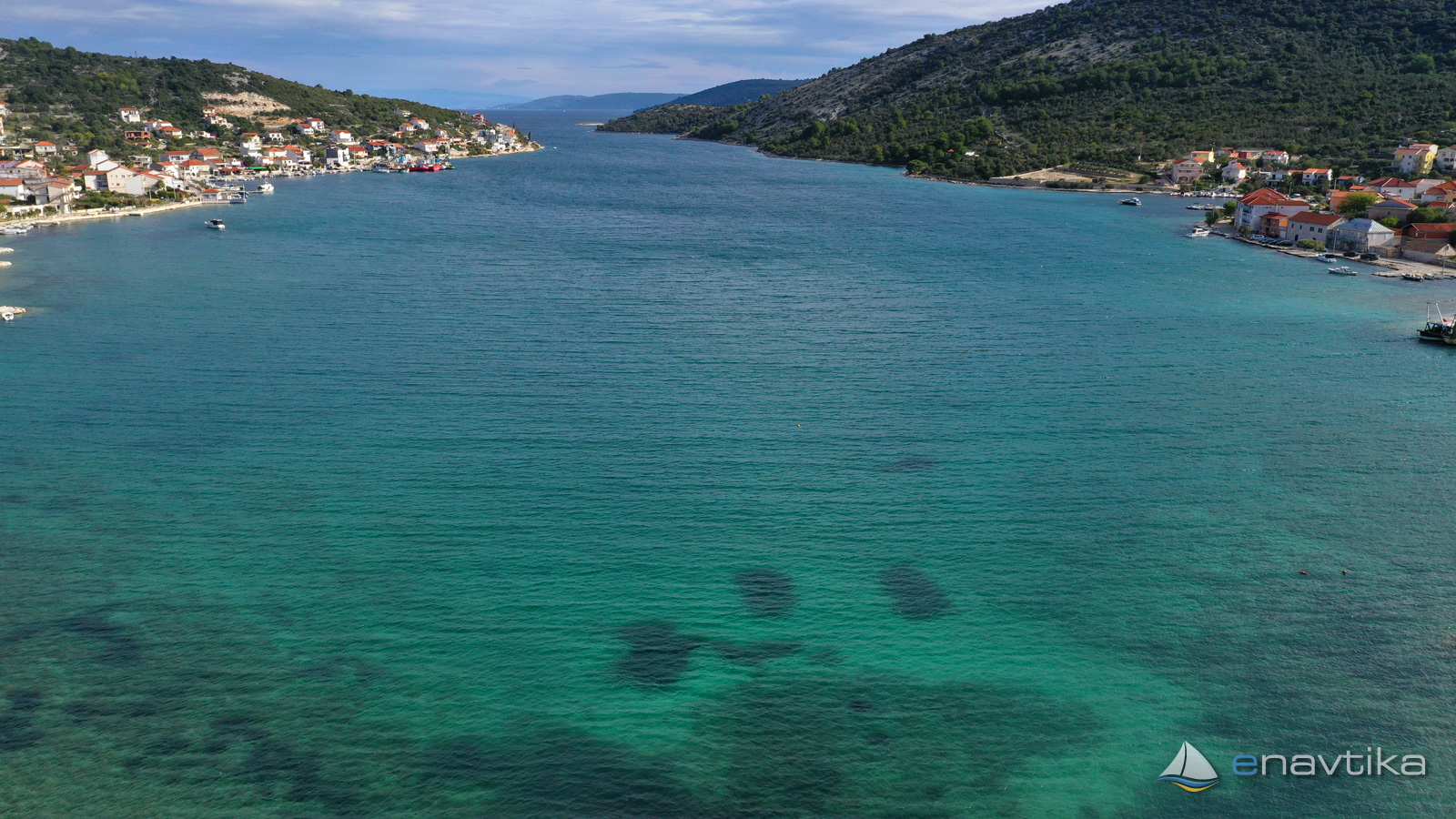
When navigating to the bay from the south-east side, take caution on the small island Vinisce. Sailing around is safe in all directions. Water depth between the island and the main land is 30 m. On the cape Artatore on the south side of the entrance to the bay there is a lantern with characteristic R Fl 3s 8m 4M.
Wind protection/Weather

Today
- knots
Tomorrow
- knots
Thursday
- knots
Nearby
-
 Vinišče
Port
0.13 nmi
Vinišče
Port
0.13 nmi
-
 Artatur 532
Lighthouse
0.83 nmi
Artatur 532
Lighthouse
0.83 nmi
-
Voluja
Port
1.46 nmi
Protected
- Voluja Port 1.46 nmi
- Agana Marina 1.61 nmi
- Drvenik Veli Port 2.46 nmi

Upcoming events
- CROATIA NAUTIC SHOW 2025 Nautic fair starts in 1 month in 9 days
Prices
| 07.11.2021 | 0,00 HRK/dan |

Comments