Punat
Krk
 Port
Port
Data
| GPS | 45° 1' N , 14° 37' E |
| Nr. of moorings | 120 |
| Water depth | 1 - 3 m |
| Opening hours | 1.1. - 31.12. |
| Gas station | 2 nmi Krk |
| Place | Punat, Krk |
About
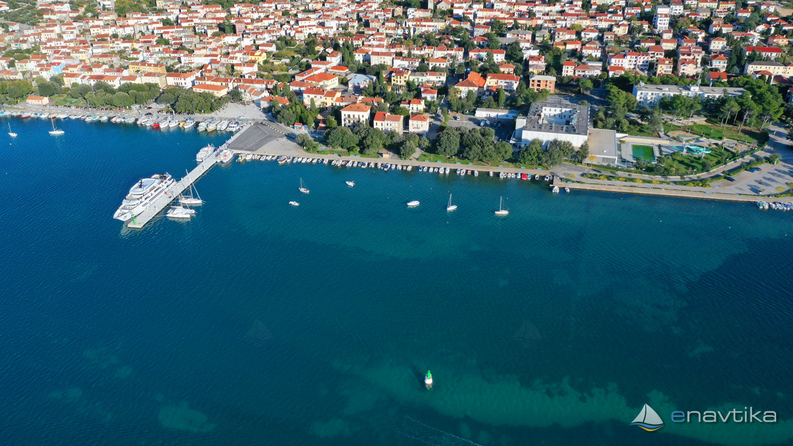
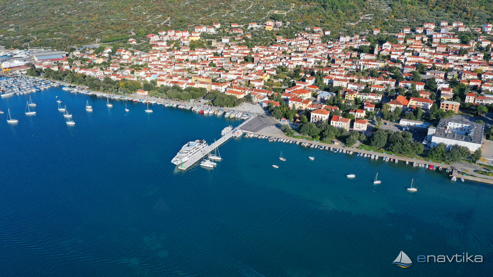
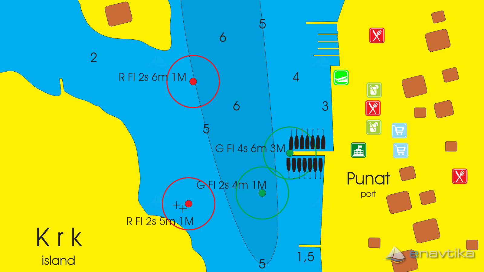
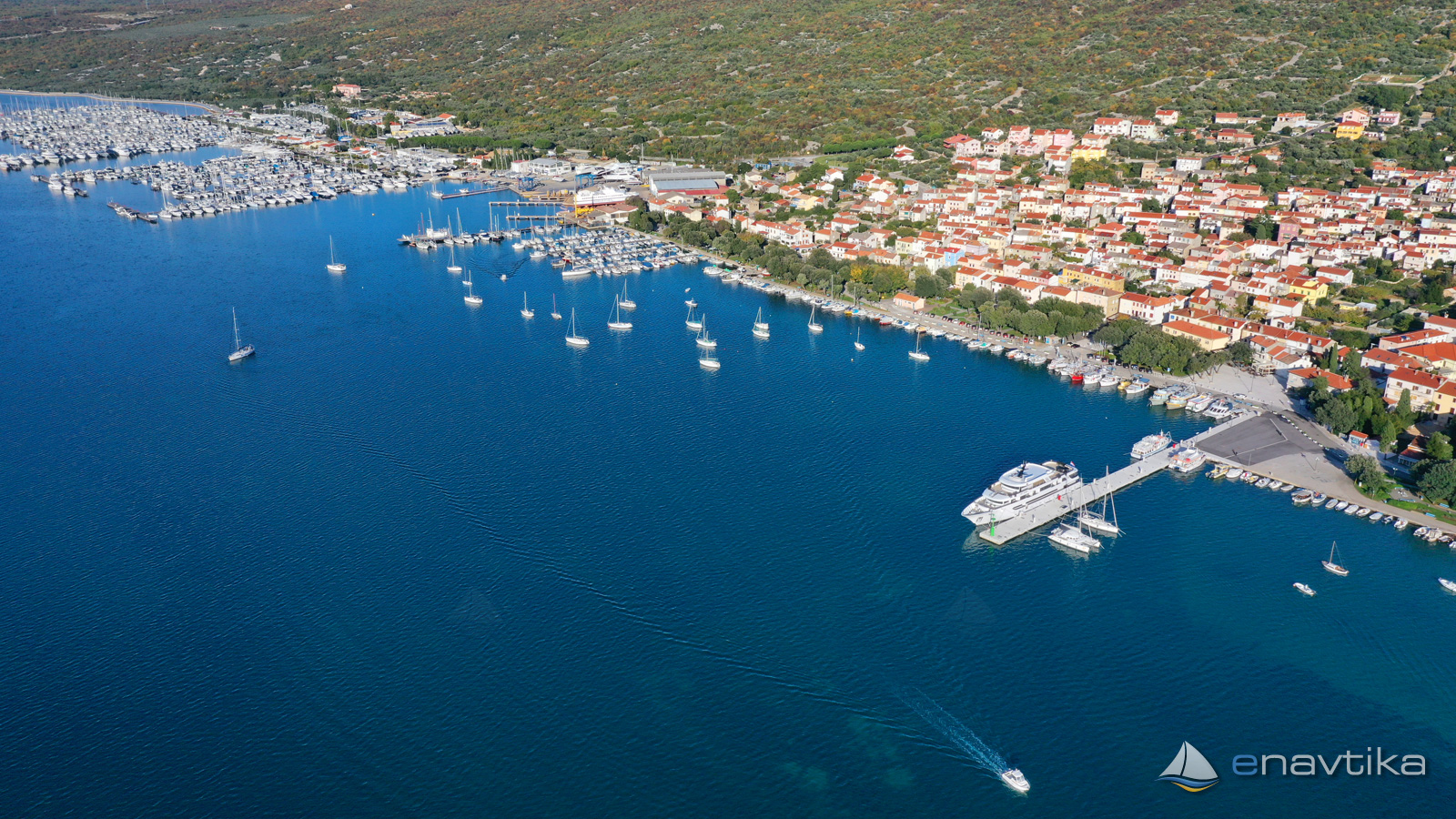
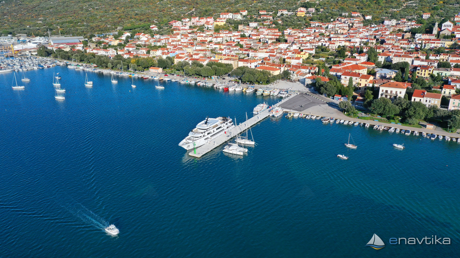
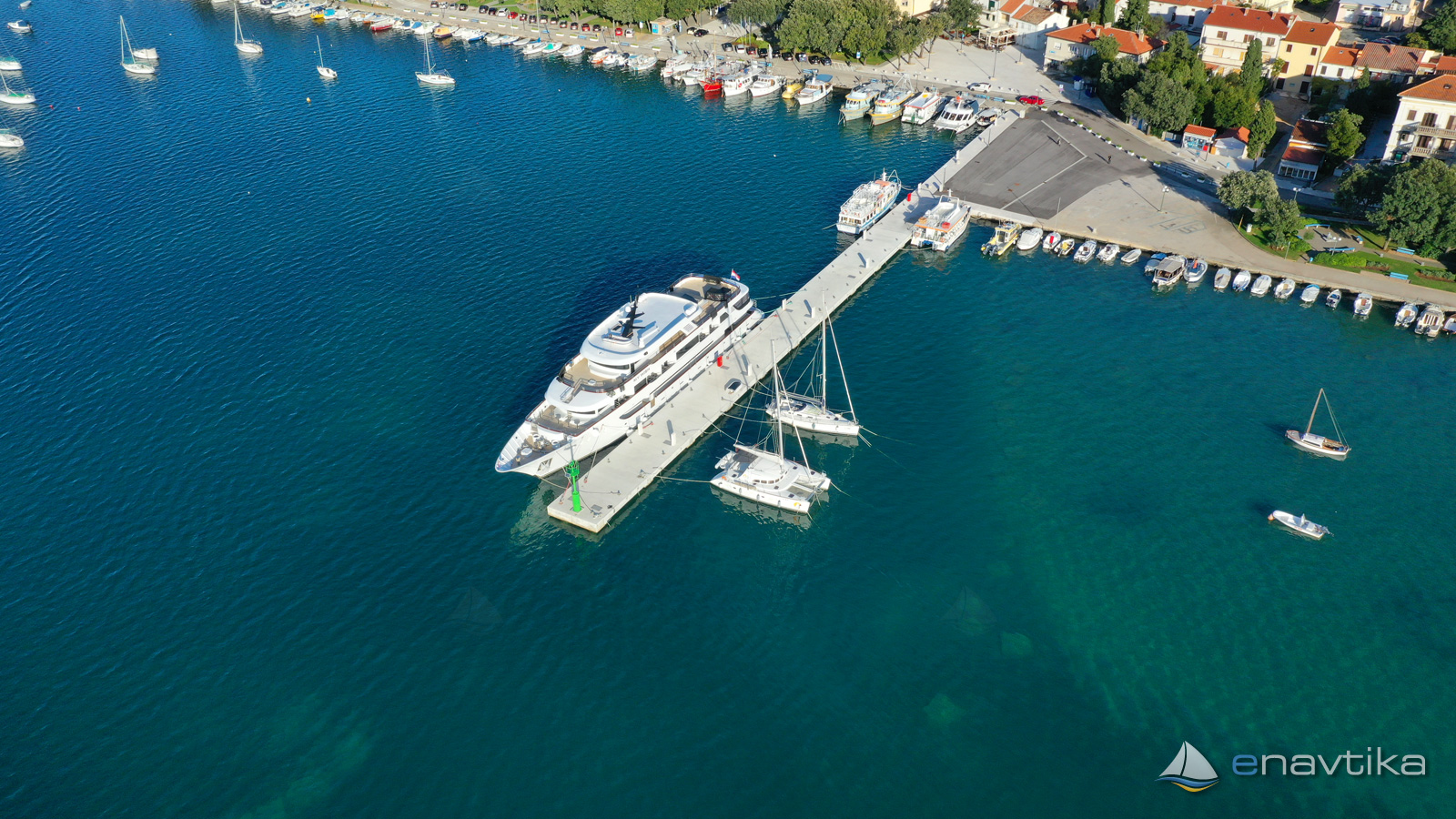
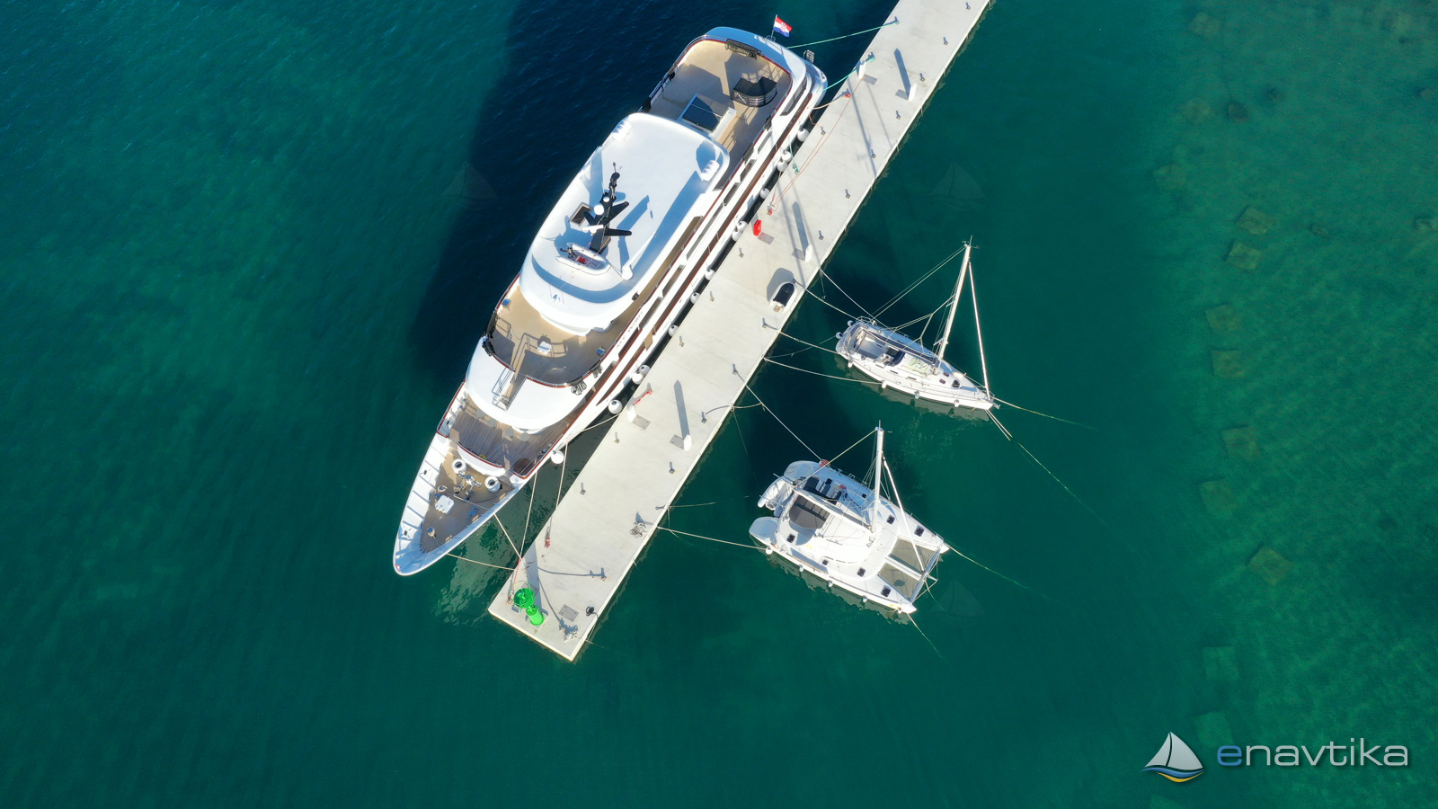
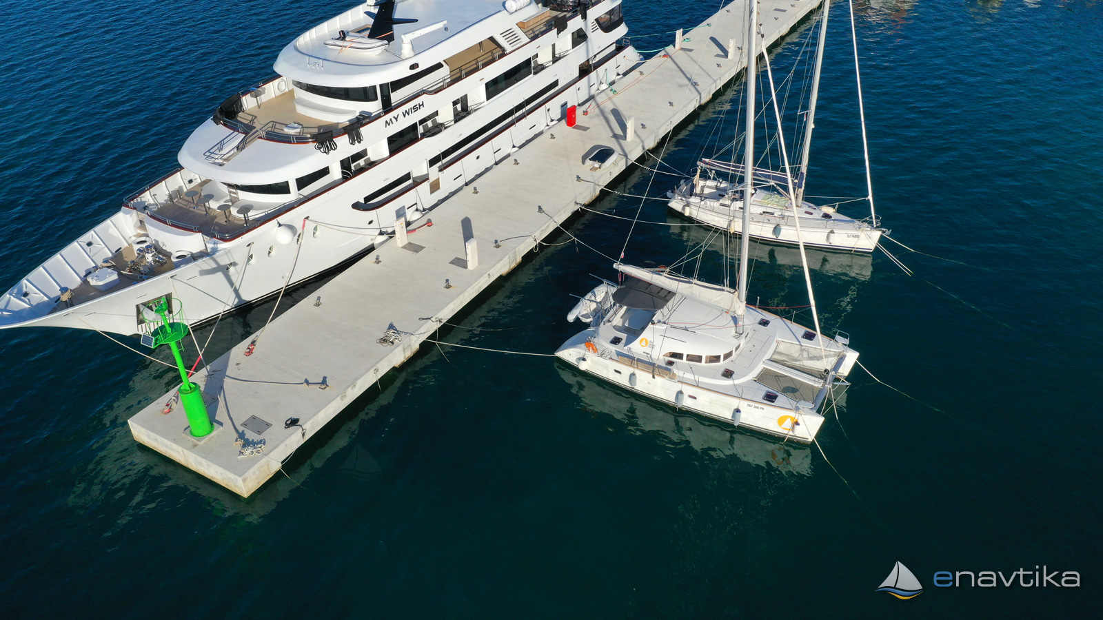
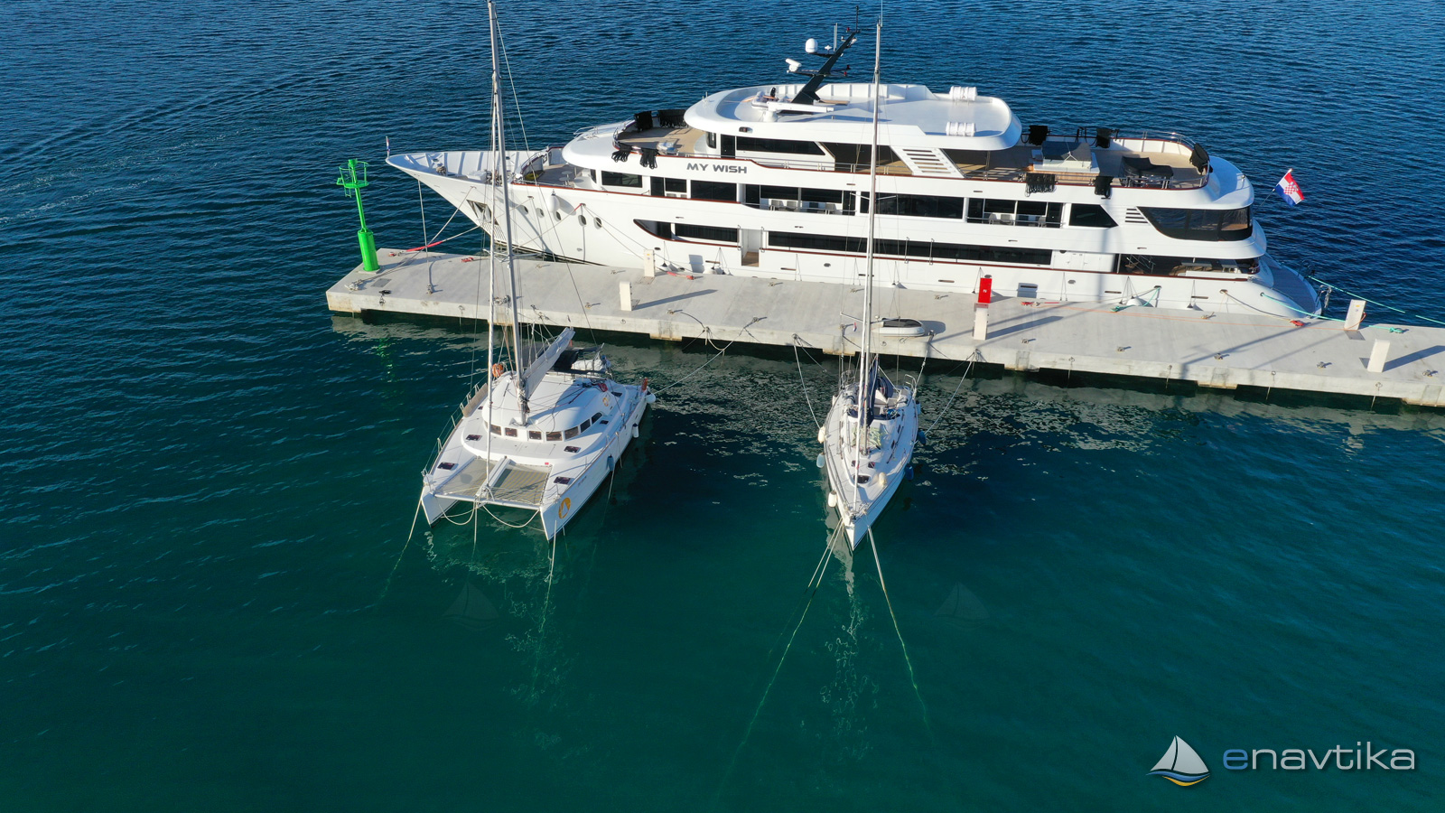
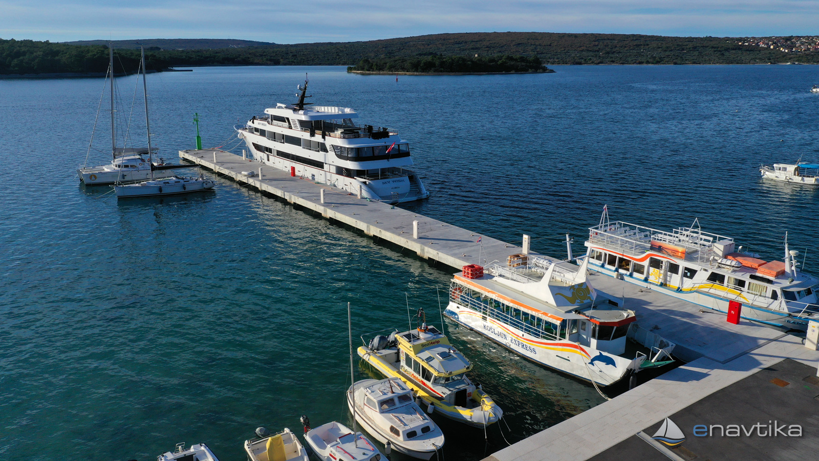
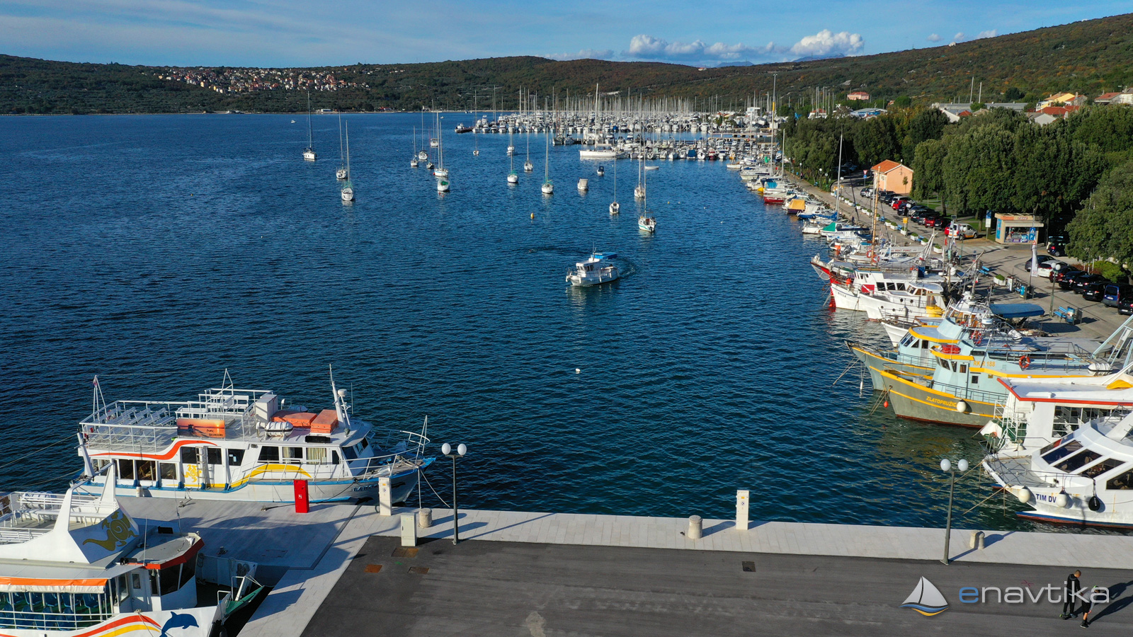
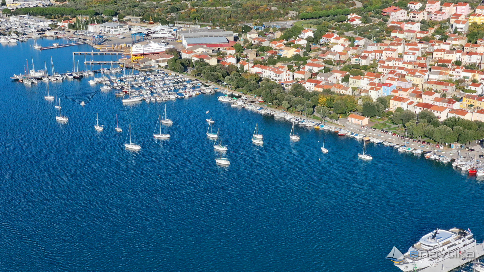
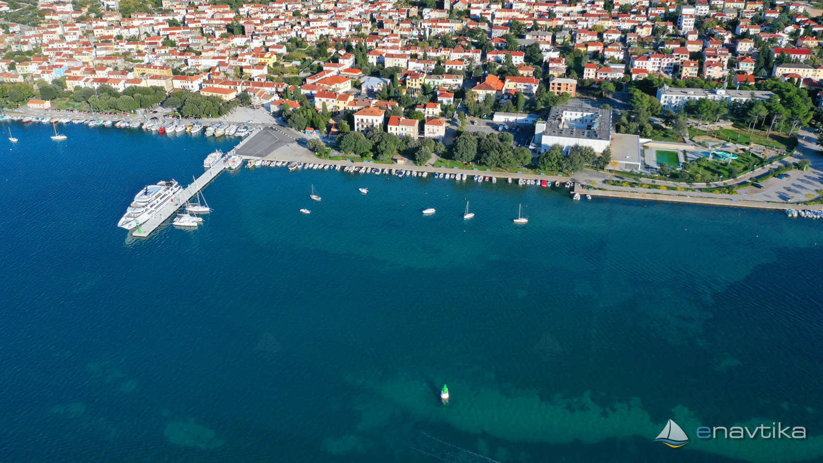
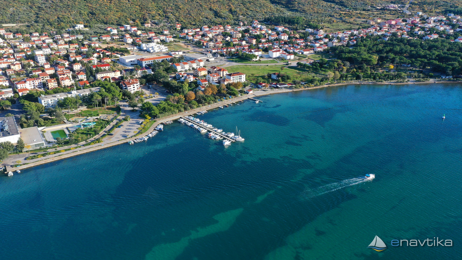
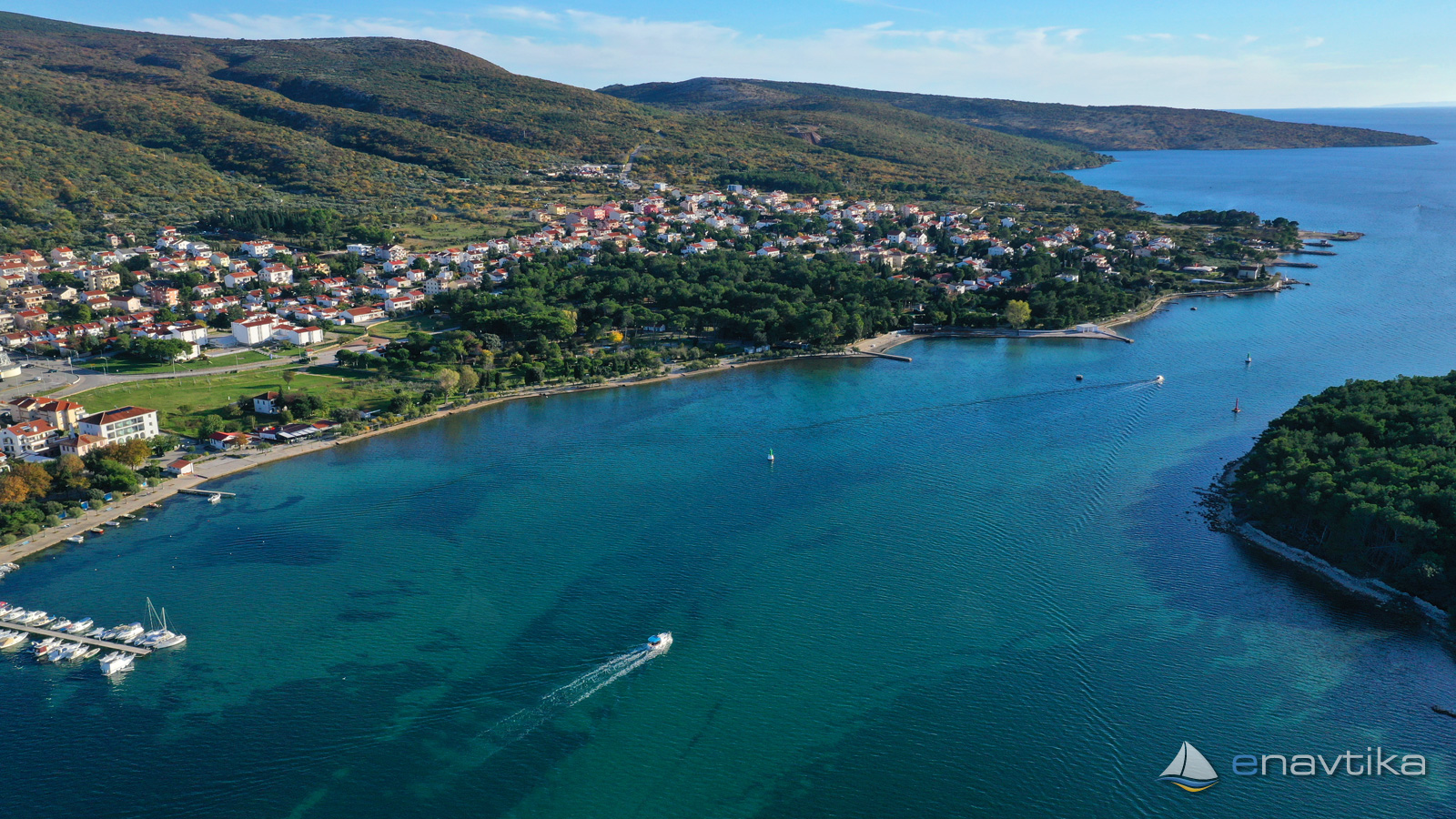
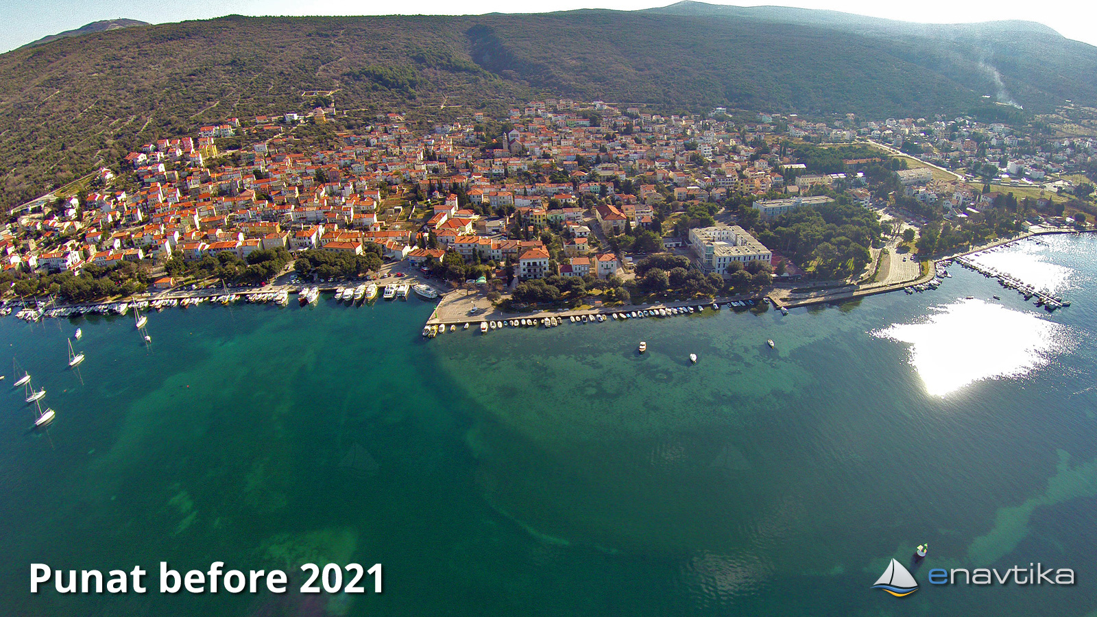
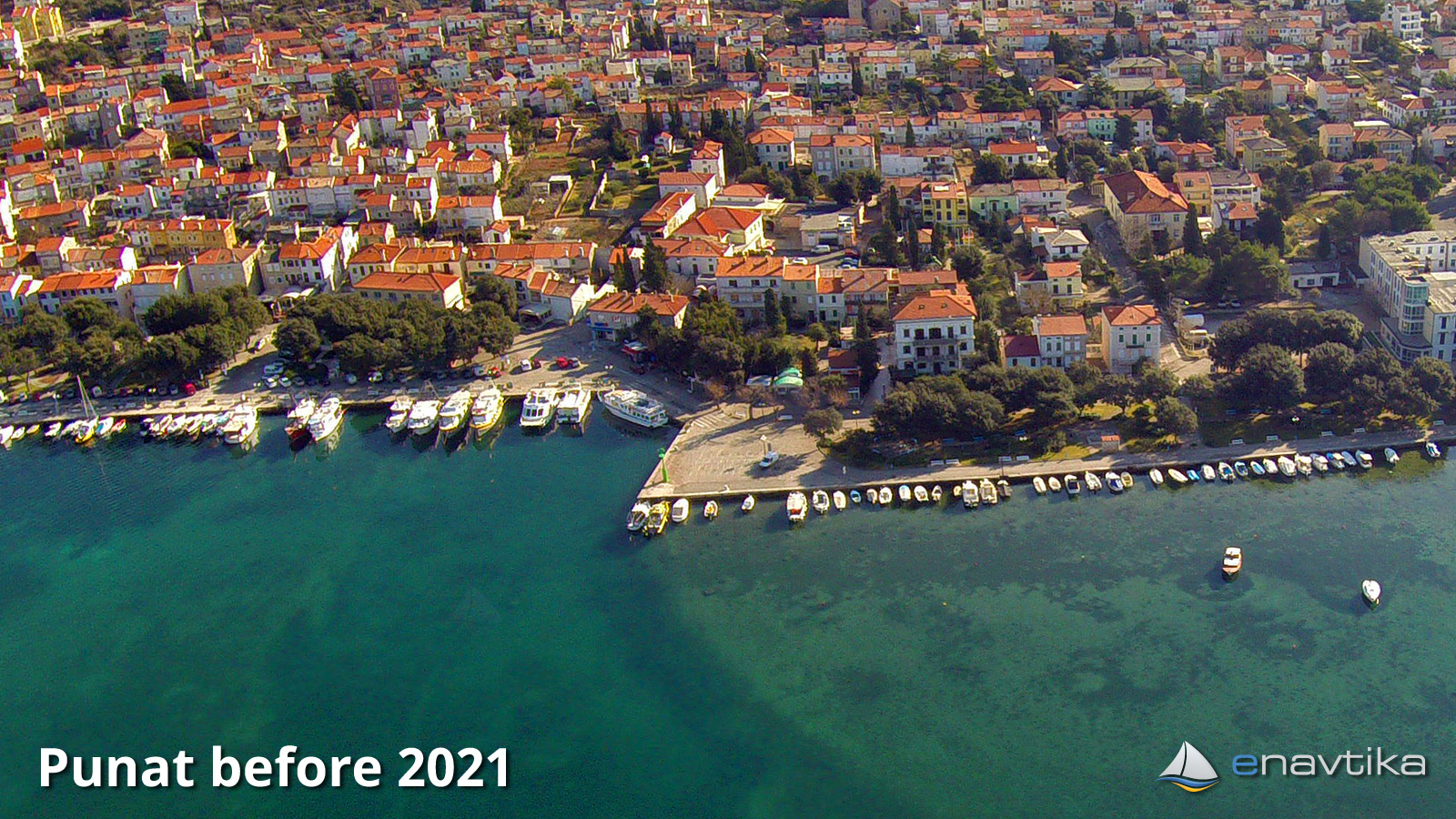
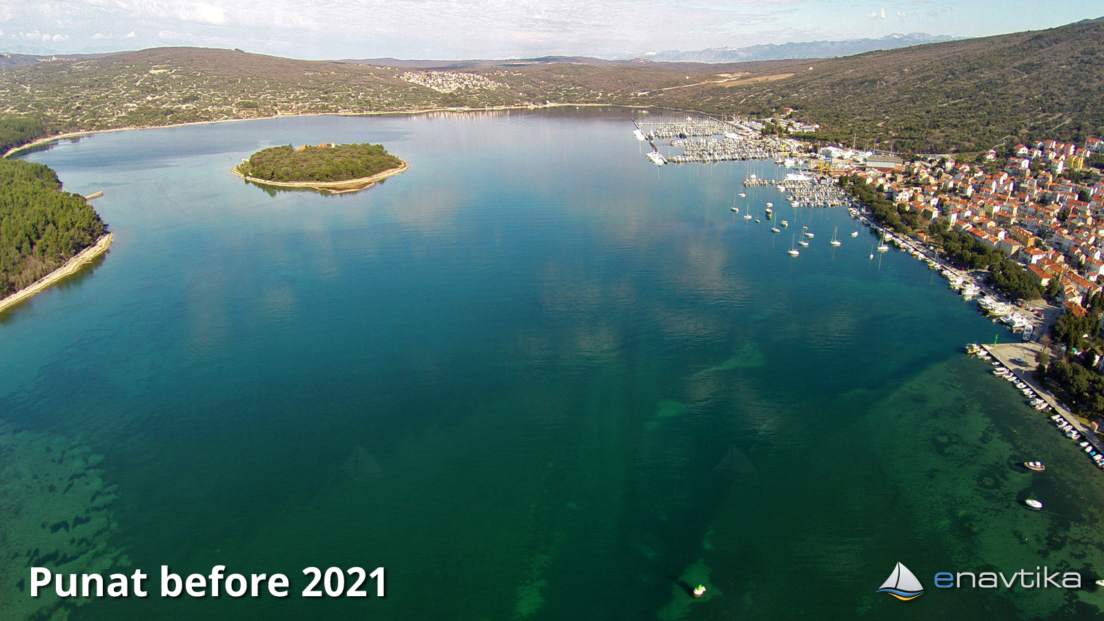
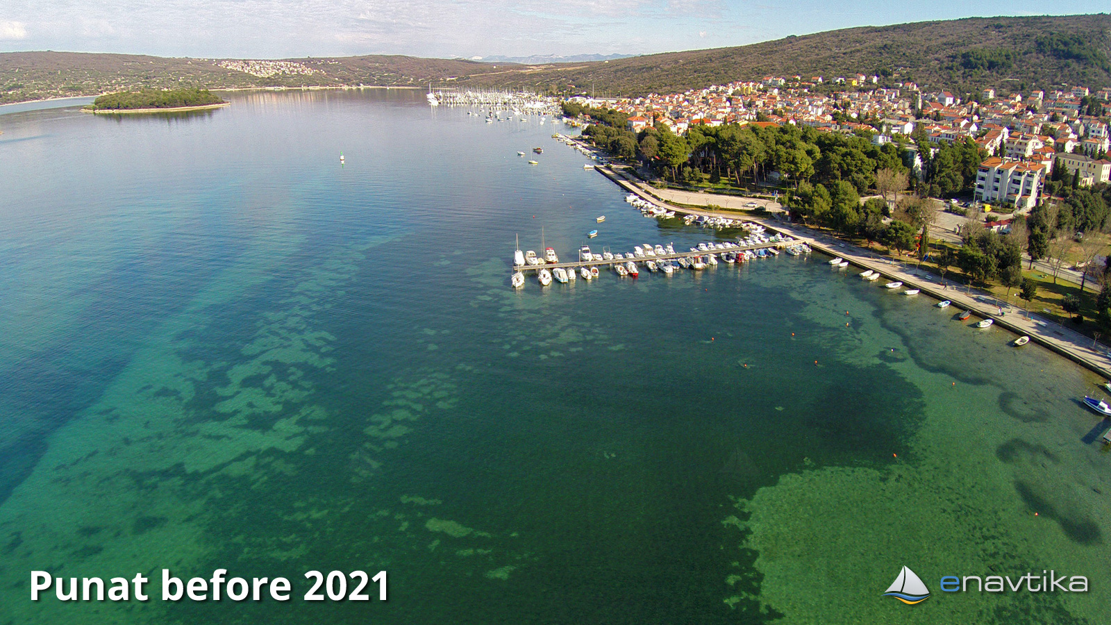
The port of Punat is in the eastern part of the well-protected bay Puntarska draga. It is protected from all winds except the south. In 2020, a new pier 80 m long was built. There are 25 berths equipped with moorings, electricity and water. When navigating the port, we must pay attention to the depths. As Puntarska draga is very shallow in certain parts, it is necessary to sail along the marked safe path. Lateral markings on the right side (green) should be left on your right. We also have to leave the last Punat E2881.4 on our right, only then sail to the right in the direction of the port. On the south side of the pier, the depth of the sea towards the coast is just 1 m. Only the part along the pier is deepened. Care must be taken to maneuver (see aerial photographs).
In the immediate vicinity are the Harbor Master's Office, a shop, several restaurants and bars and other offerings of the city of Punat. During the summer season, many events are organized in the city. If you want to spend the night in the middle of the action, this is the place for you.
Wind protection/Weather
Today
- knots
Tomorrow
- knots
Tuesday
- knots
Nearby
-
 Punat
Harbourmaster office
0.04 nmi
-
 Punat E2882
Lighthouse
0.06 nmi
-
 Punat E2881.4
Lighthouse
0.12 nmi
Protected
- Košljun Port 0.55 nmi
- Punat Marina 0.62 nmi
- Puntarska draga Anchorage 0.67 nmi



Comments