
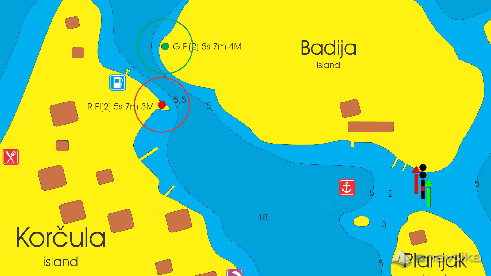
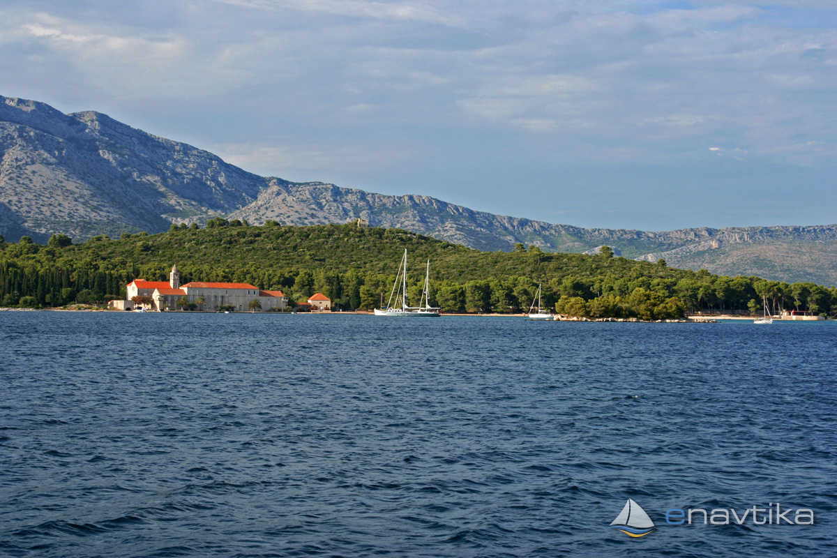
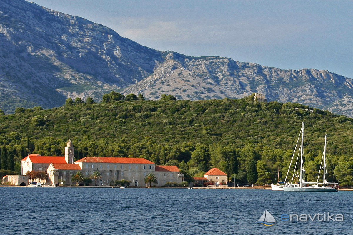
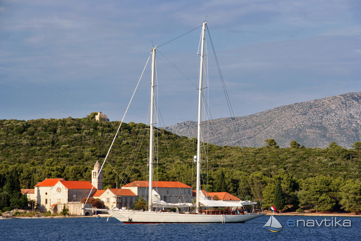
Badija
Korčula
 Sidrište
Podaci
| GPS | 42° 56' N , 17° 9' E |
| Dubina vode | 1 - 5 m |
| Radno vrijeme | 1.1. - 31.12. |
| Benzinska postaja | 0,8 nmi KOrčula |
| Tel. | 00 385 20 715 241; 00 385 20 715 279 |
Info
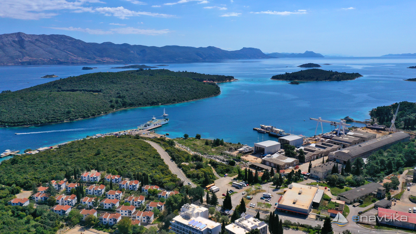
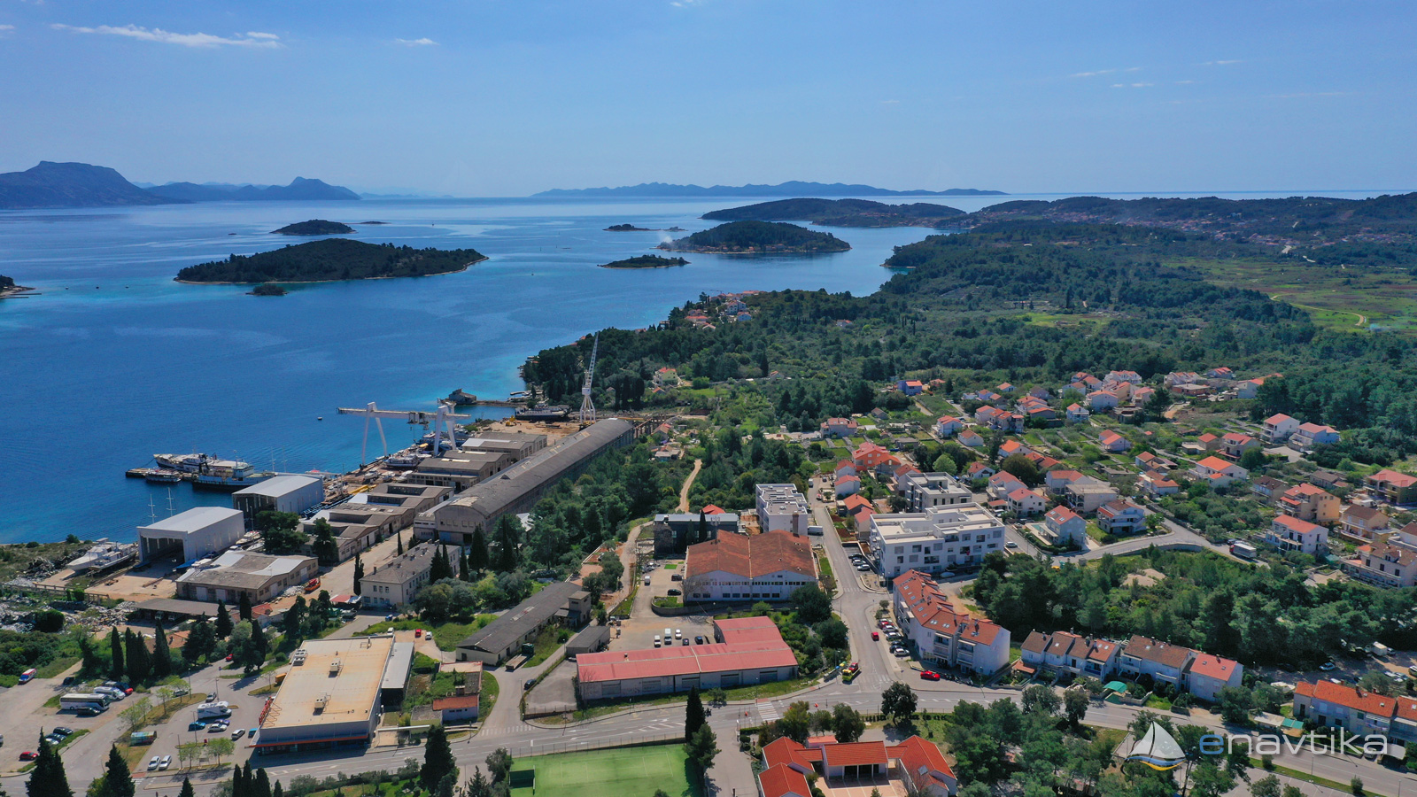
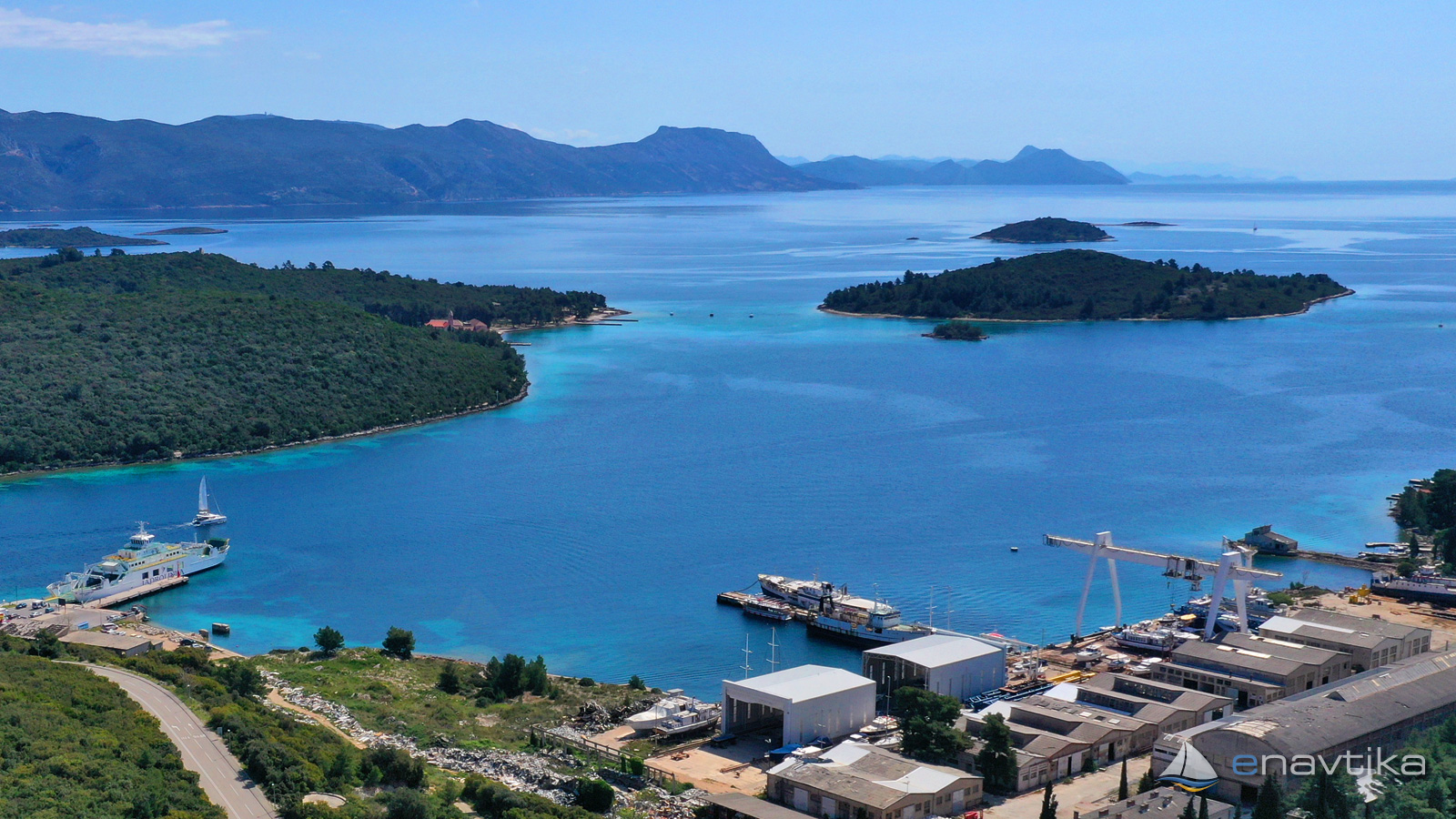
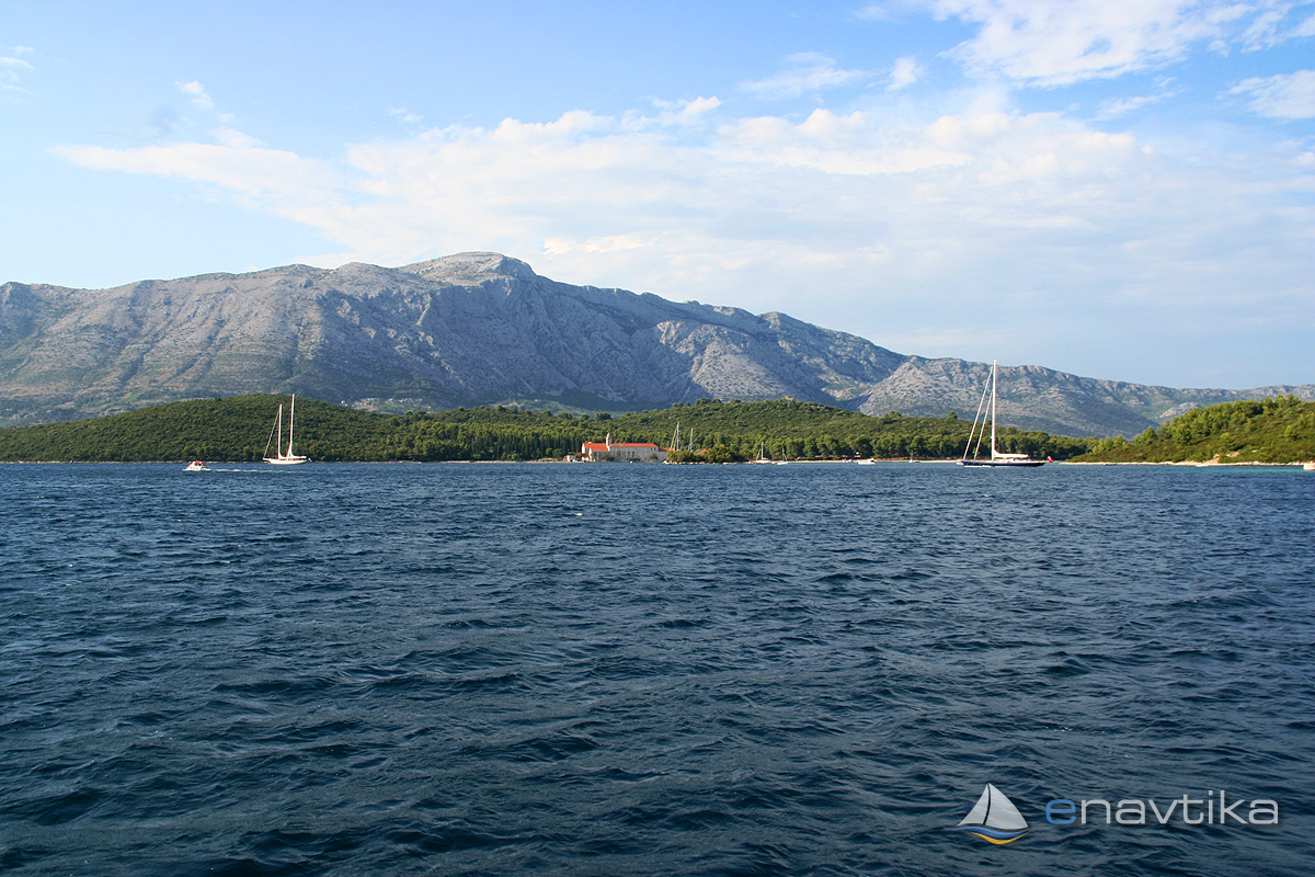
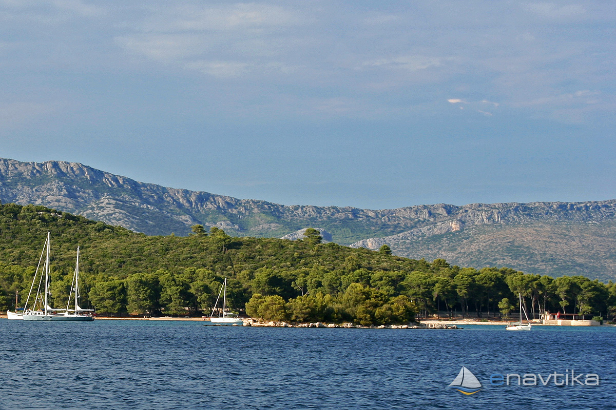
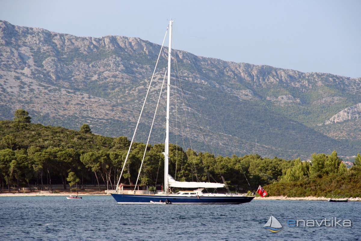
The Badija anchorage is in the northwestern part of the Ježevica channel on the eastern side of the island of Korčula. From the north, it is protected from the winds by the island of Badija, on which there is a Franciscan monastery from the 14th century. It is protected from the southeast by the island of Planjak and from the west by the island of Korčula. The anchorage is protected from western and northern winds. The waves at the anchorage are caused by the constant marine traffic through the channel. The bottom in the anchorage is sandy. The depths are between 2 and 10 m. The anchor holds well. The bay is part of the harbor area of the port of Korčula, so overnight stays in the bay have to be paid.
There is a small pier in front of the monastery, where there is room for the mooring of two vessels. Docking is allowed only for vessels comming to visit the monastery.
Zaštita od vjetra/Vrijeme

Danas
- čv
Sutra
- čv
Subota
- čv
U blizini
-
 Korčula
Benzinska postaja
0.62 nmi
Korčula
Benzinska postaja
0.62 nmi
-
 Krastovica N
Oznaka
0.68 nmi
Krastovica N
Oznaka
0.68 nmi
-
Krastavica E
Oznaka
0.75 nmi
Zaštićeno
- Luka Korčula Sidrište 0.98 nmi
- Uš Luka 1.04 nmi
- Korčula-Luka Luka 1.43 nmi

Cijene
| 21.06.2022 | 0-20m 15,00 HRK/dan |
| 29.06.2017 | 13,5 HRK/m/dan |
Komentari