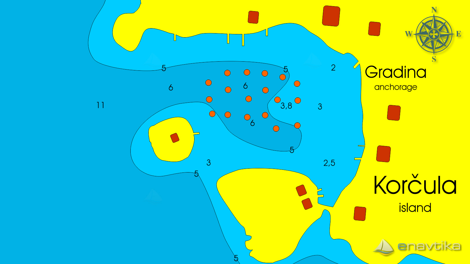
Gradina
Korčula
 Sidrište
Podaci
| GPS | 42° 58' N , 16° 40' E |
| Dubina vode | 2 - 7 m |
| Radno vrijeme | 1.1. - 31.12. |
| Benzinska postaja | 2 nmi Vela Luka |
| Broj vezova | 20 mooring buoys |
| Radno vrijeme | 1.1. -31.12. |
| Mjesto | Vela Luka |
| Benzinska postaja | 2 nmi Vela Luka |
Info
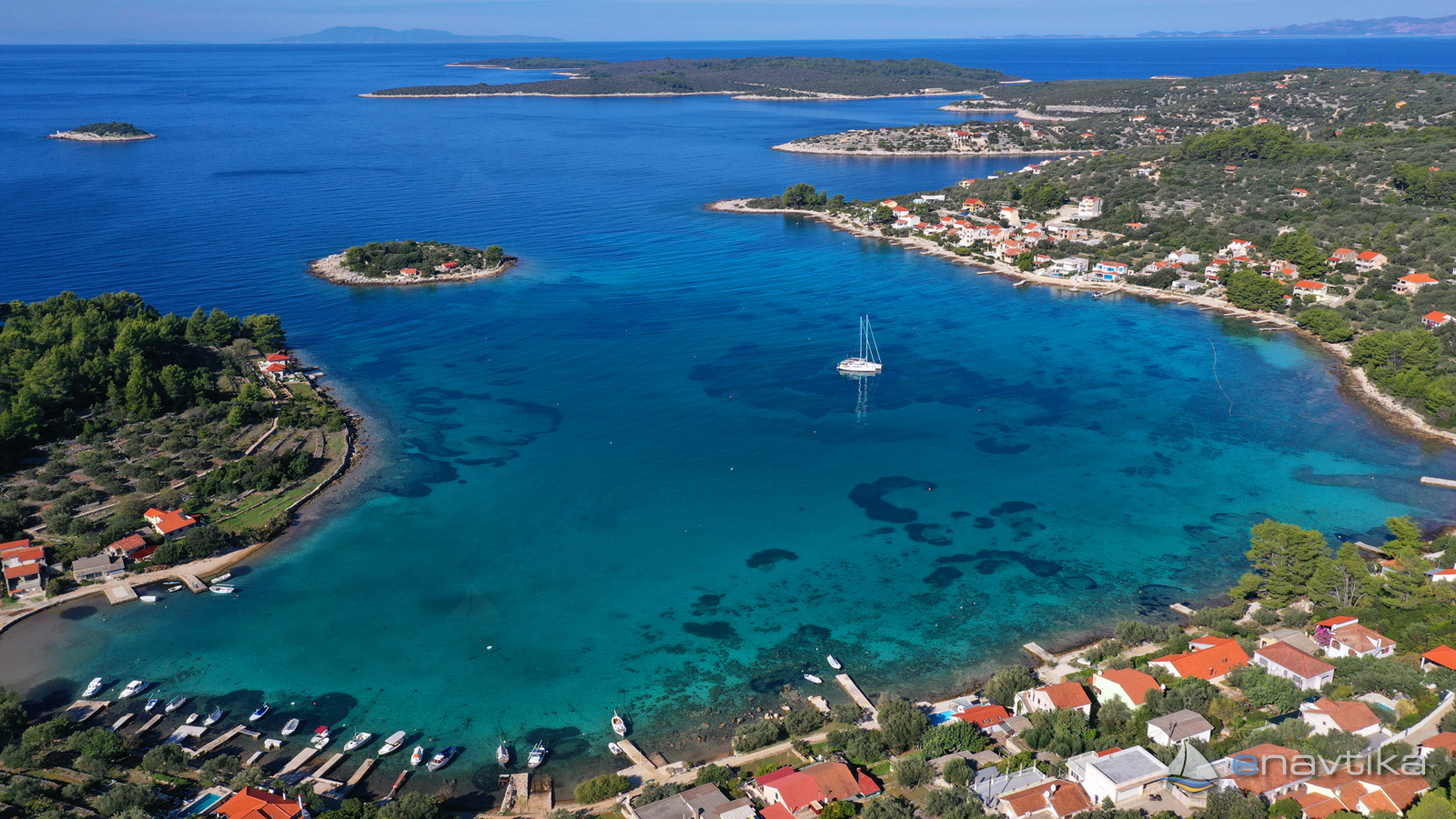
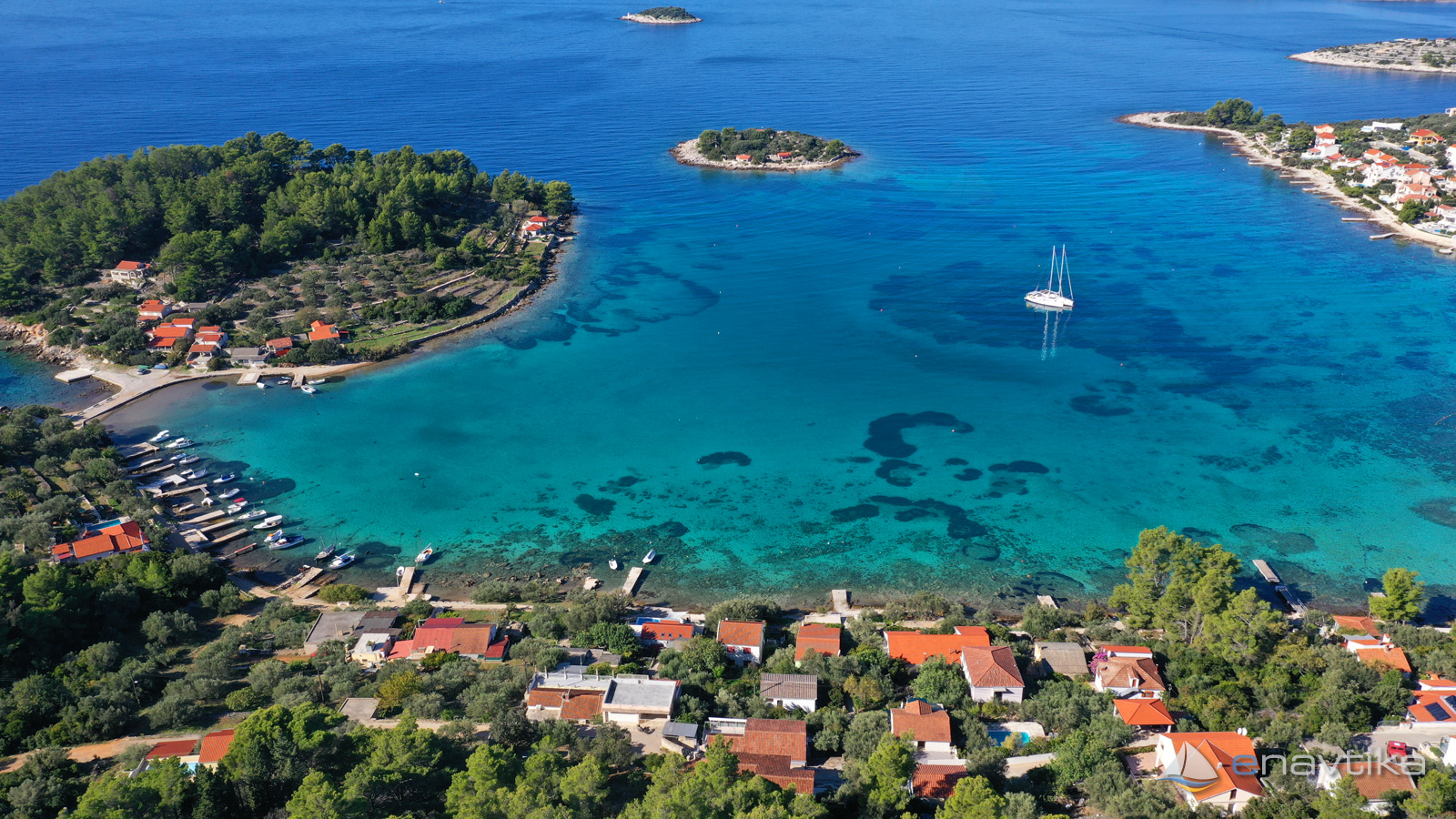
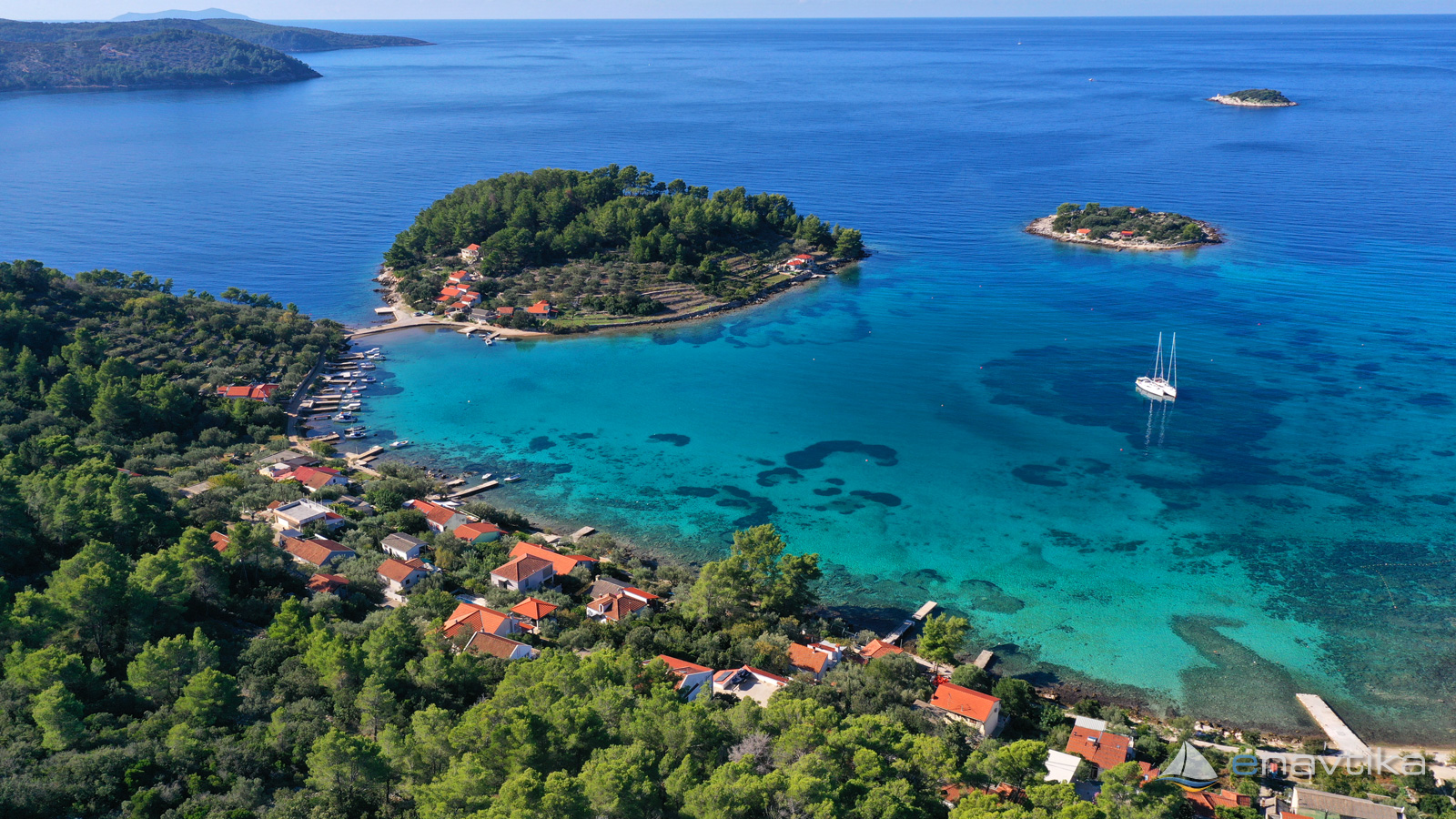
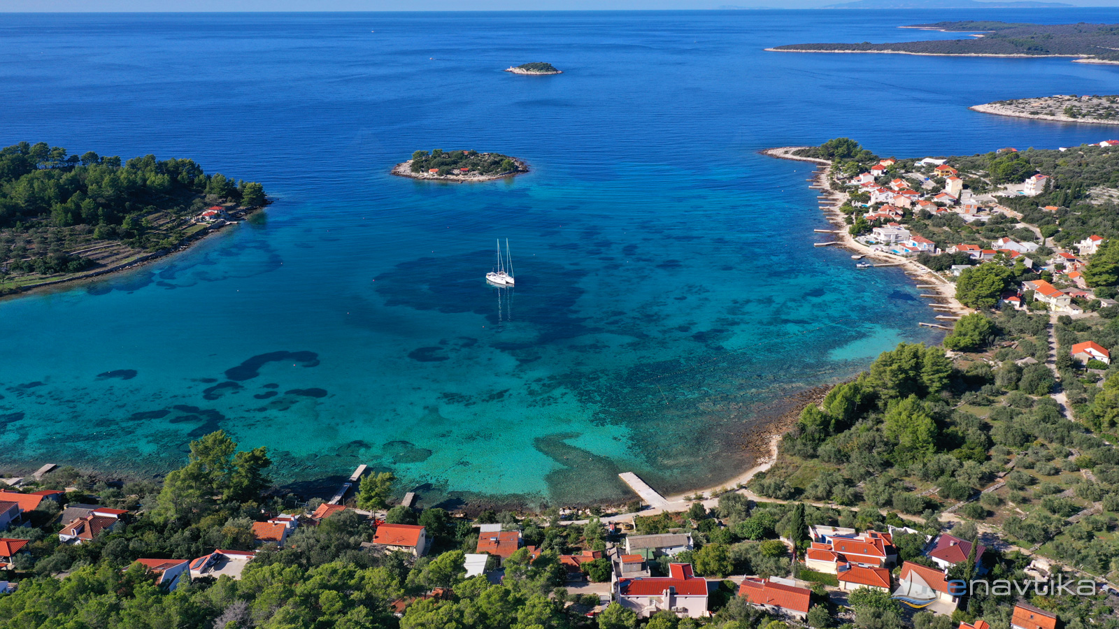
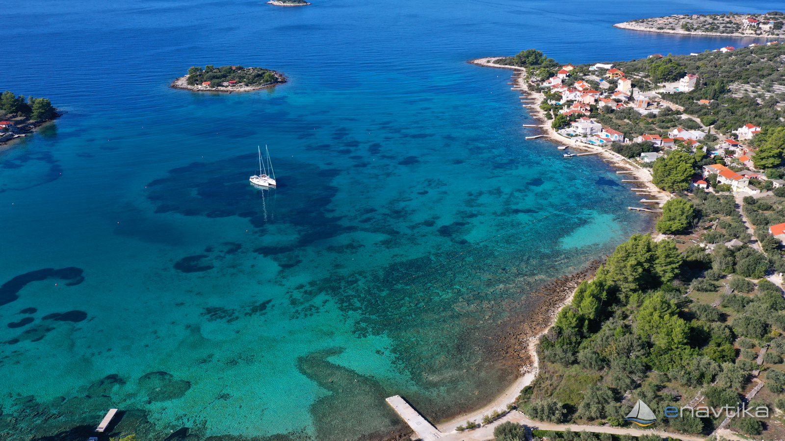
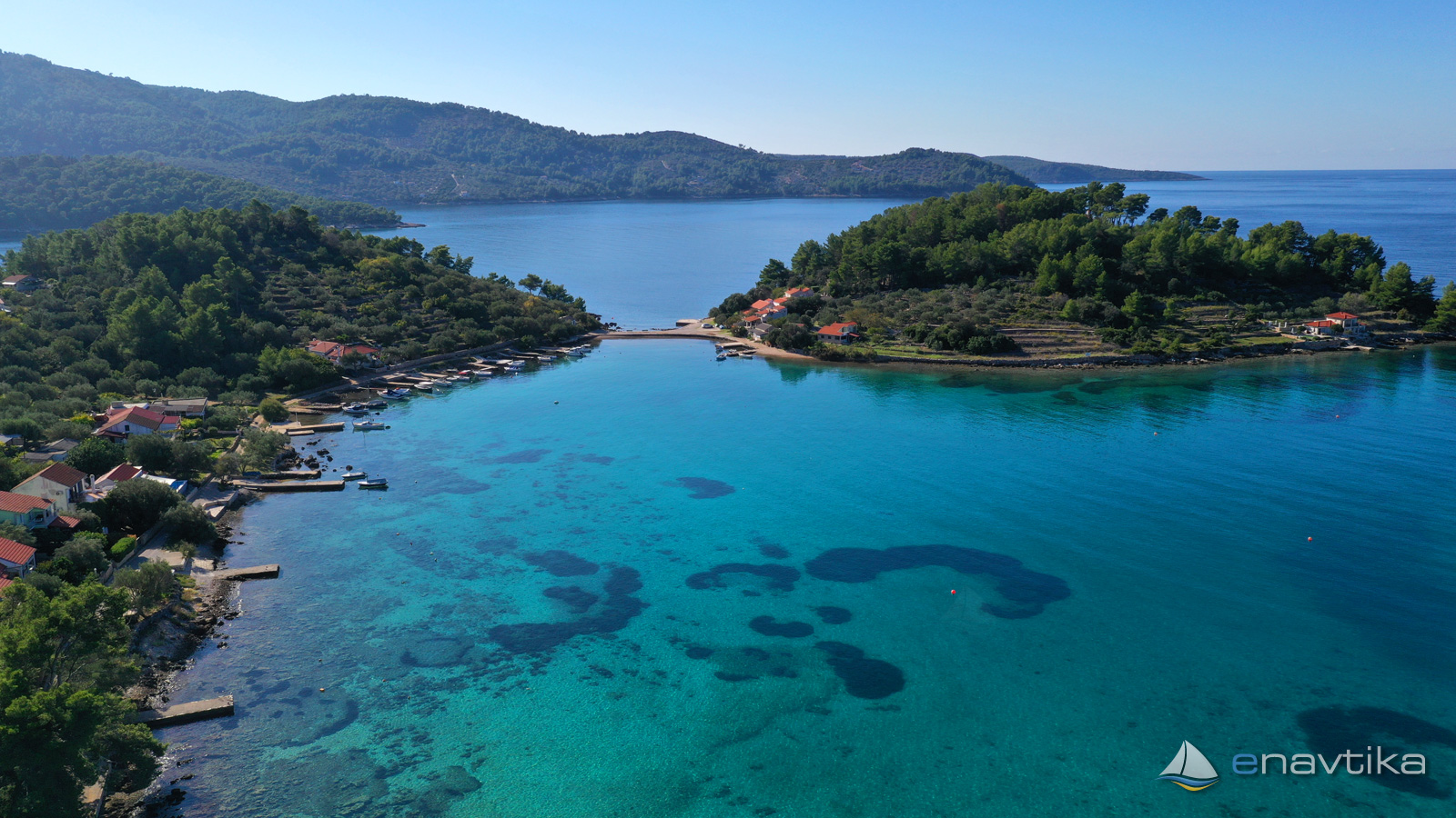
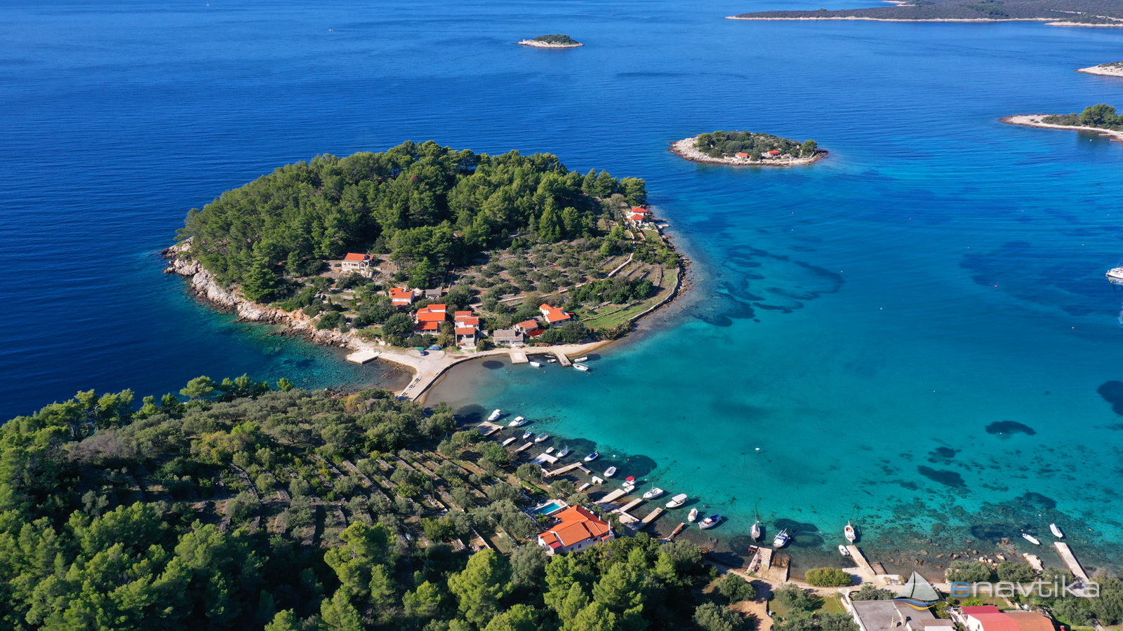
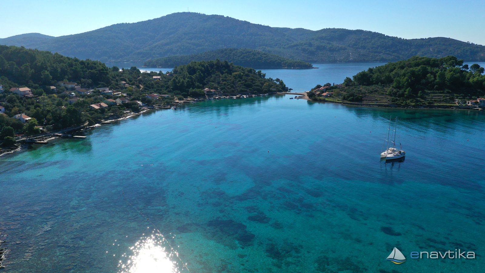
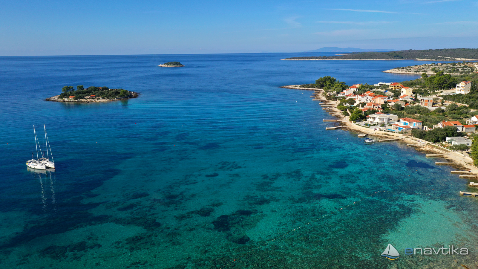
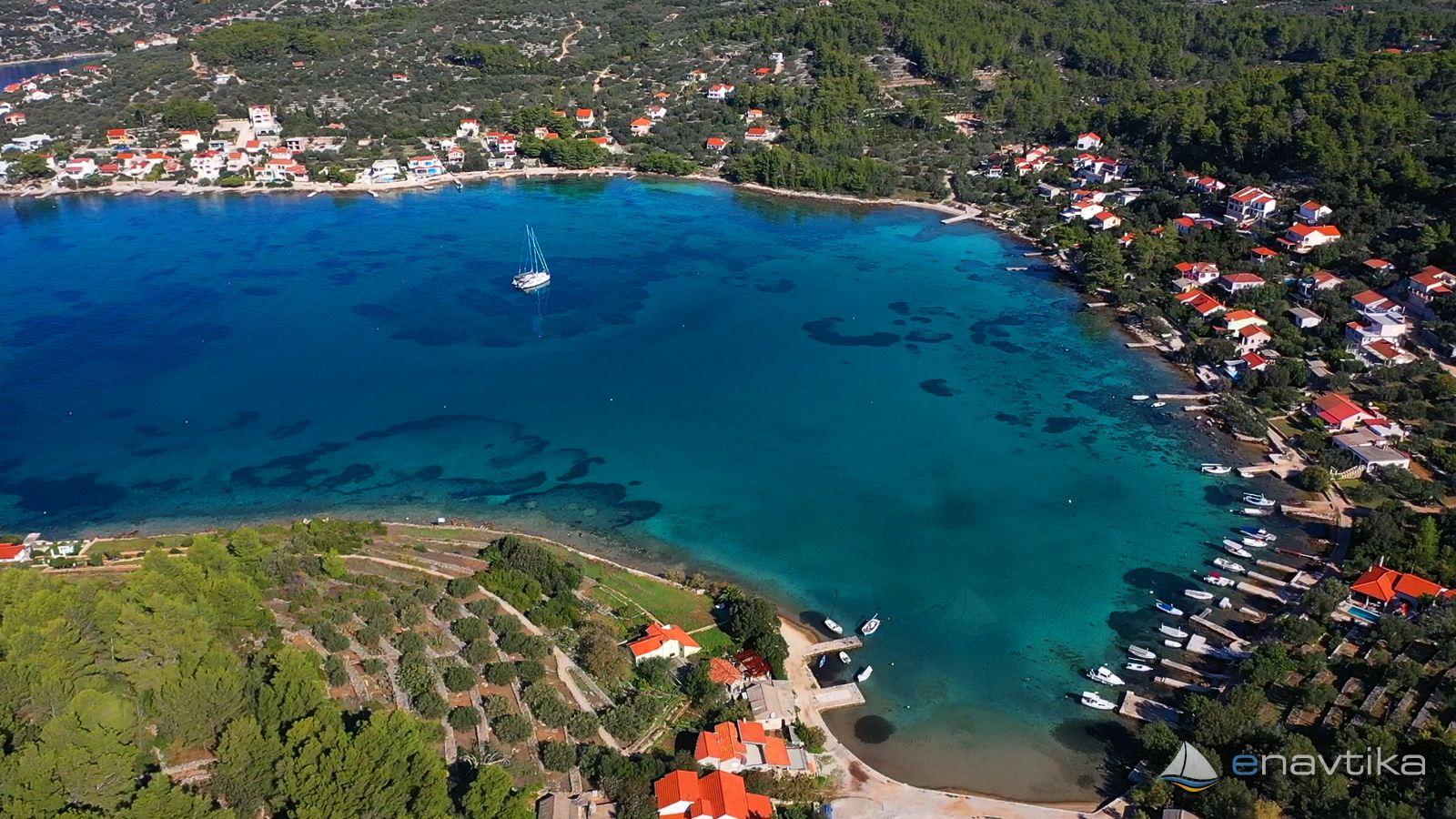
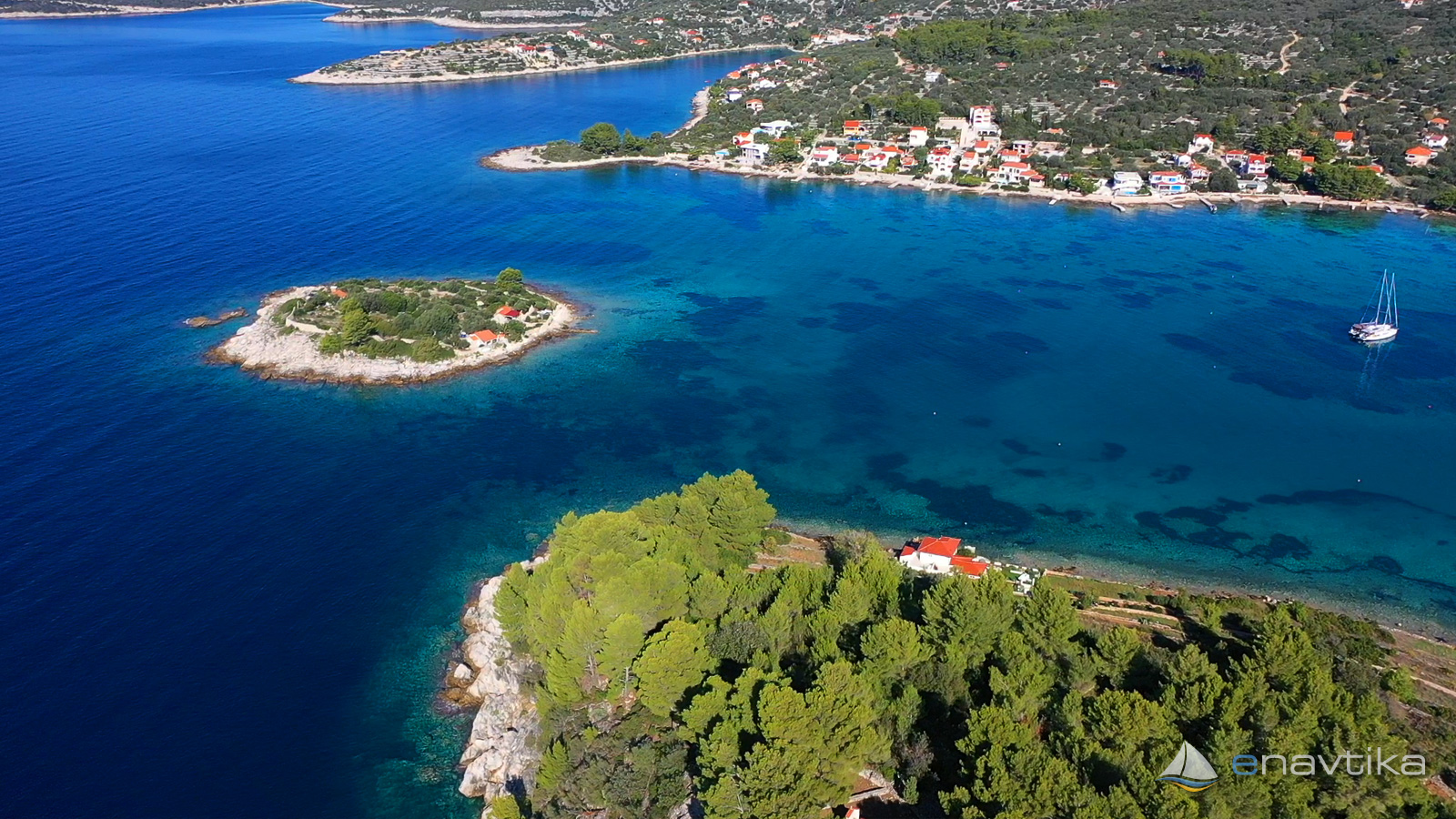
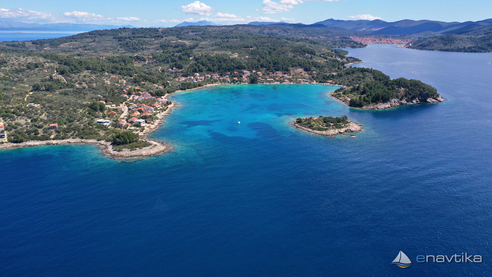
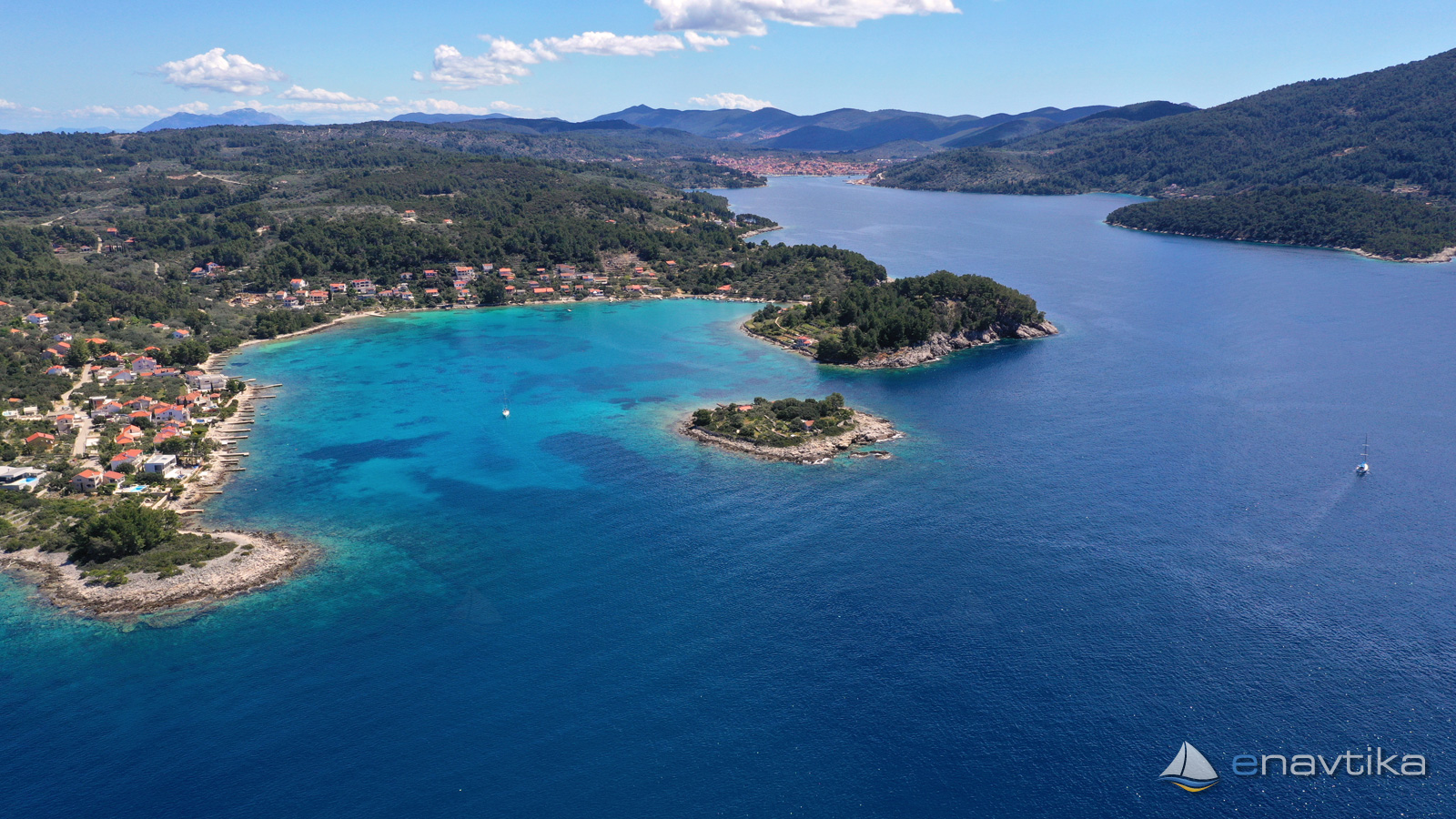
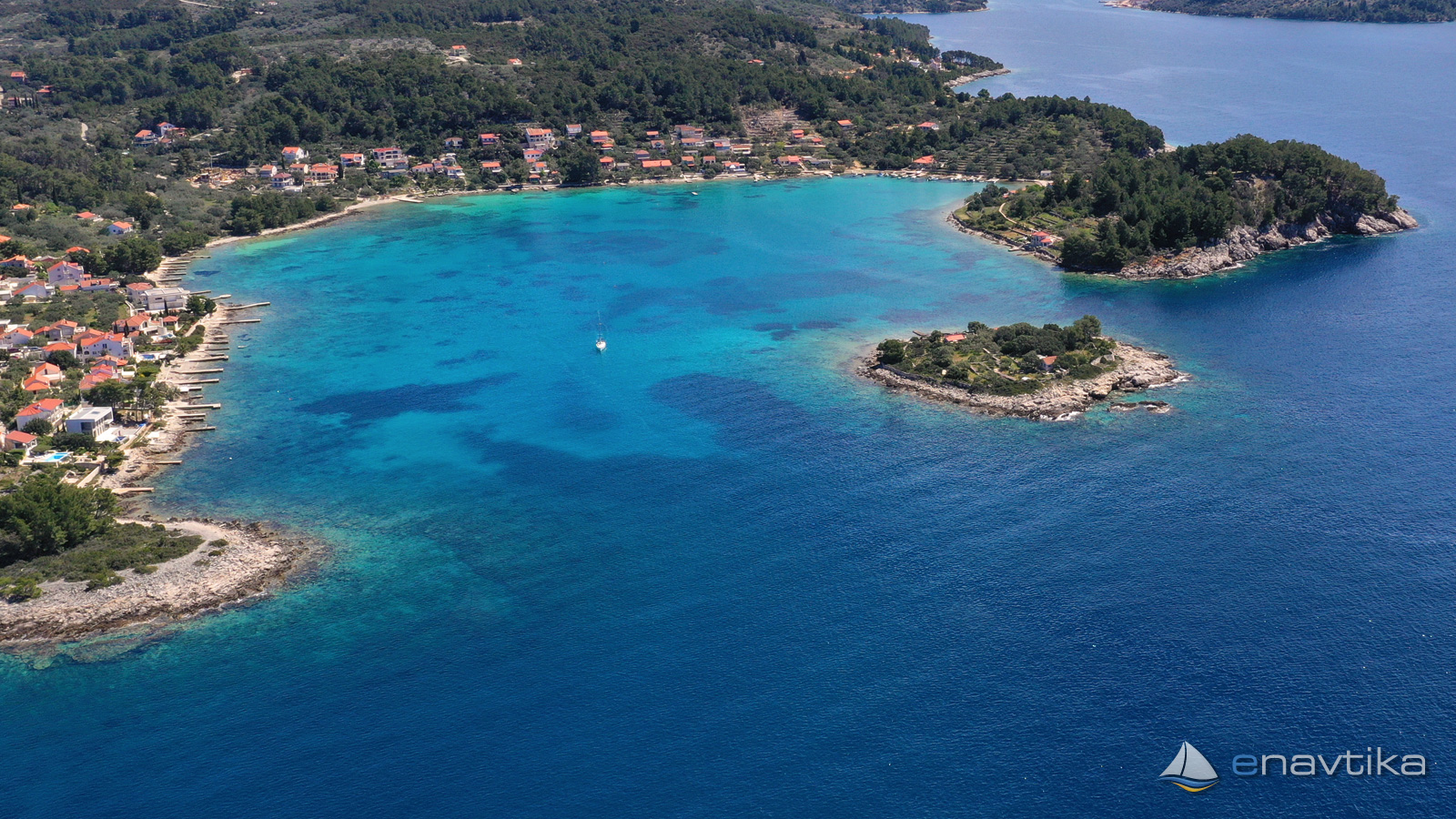
The bay and anchorage Gradina is on the northwest side of the island of Korcula in the bay Vela Luka. We enter the anchorage from the west. We must pay attention to the small island of Kamenjak, which is 0.6 nmi to the west and is marked with a red lighthouse. Gradina Bay is bordered by the islands of Gubeša in the west and the peninsula of Sv. Ivan in the south. The bay is well protected from all winds except westerly. We enter the anchorage north of the island of Gubeš, where the depths are between 5 and 7 m. The bottom is sandy and the anchor holds well. Mooring buoys are installed in the bay. A concession has been granted. Overnight stay must be paid. All mooring buoys are installed at a depth of at least 3 m. There is no services provided in the bay. Shops, bars and restaurants are in the port of Vela Luka, which is only 2 nmi away.
Zaštita od vjetra/Vrijeme

Danas
- čv
Sutra
- čv
Subota
- čv
U blizini
-
 Stračinćica
Sidrište
0.49 nmi
Stračinćica
Sidrište
0.49 nmi
-
 Ošjak G
Svjetionik
0.61 nmi
Ošjak G
Svjetionik
0.61 nmi
-
Mikulina Luka
Sidrište
0.64 nmi
Zaštićeno
- Stračinćica Sidrište 0.49 nmi
- Mikulina Luka Sidrište 0.64 nmi
- Meja Sidrište 1.12 nmi

Cijene
| 21.06.2022 | 0-15 m 200,00 HRK/dan |
| 21.06.2022 | 15-20 m 250,00 HRK/dan |
| 01.09.2020 | 200 Na bojo |

Komentari