
Foto
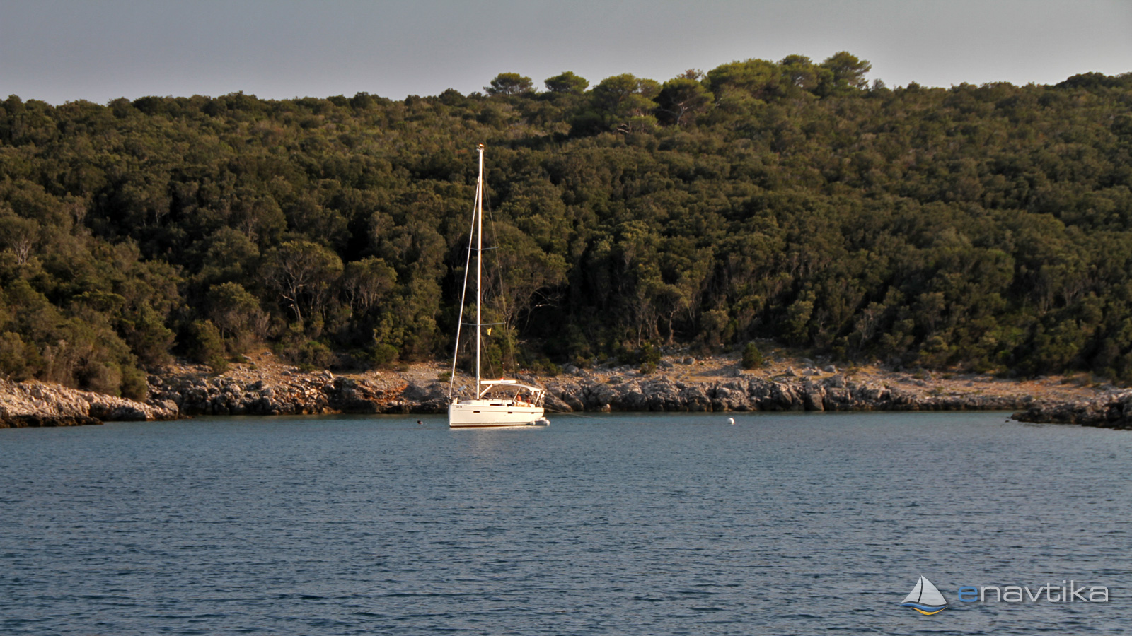
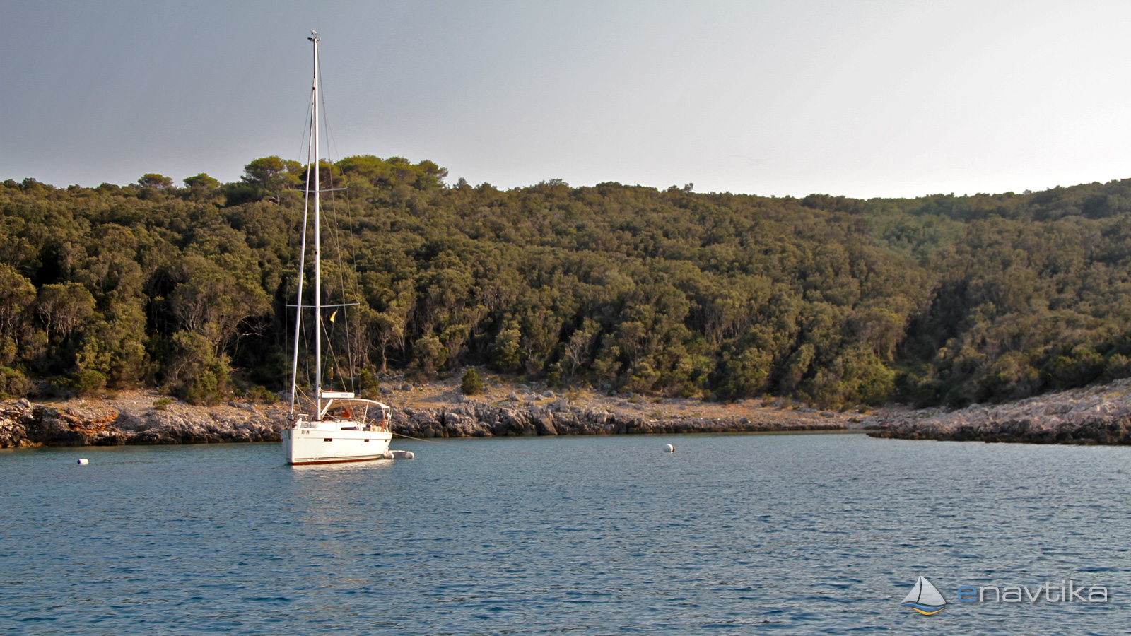
Karstulj
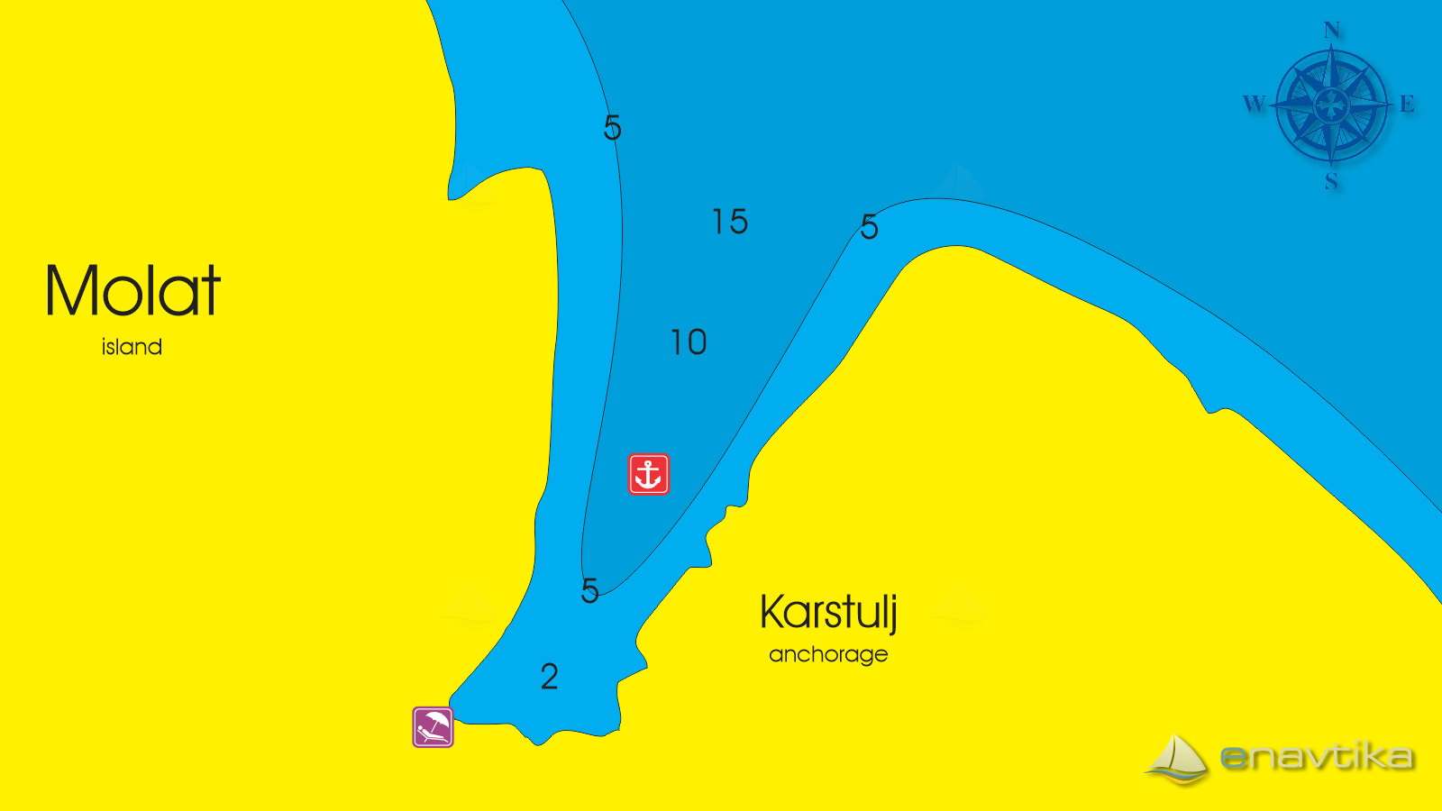
Molat
 Sidrište
Objavil(a) eNavtika
, 25.10.2020
Podaci
| GPS | 44° 14' N , 14° 50' E |
| Broj vezova | 0 |
| Dubina vode | 2 - 15 m |
| Radno vrijeme | 1.1. - 31.12. |
| Benzinska postaja | 17 nmi Zadar |
Info
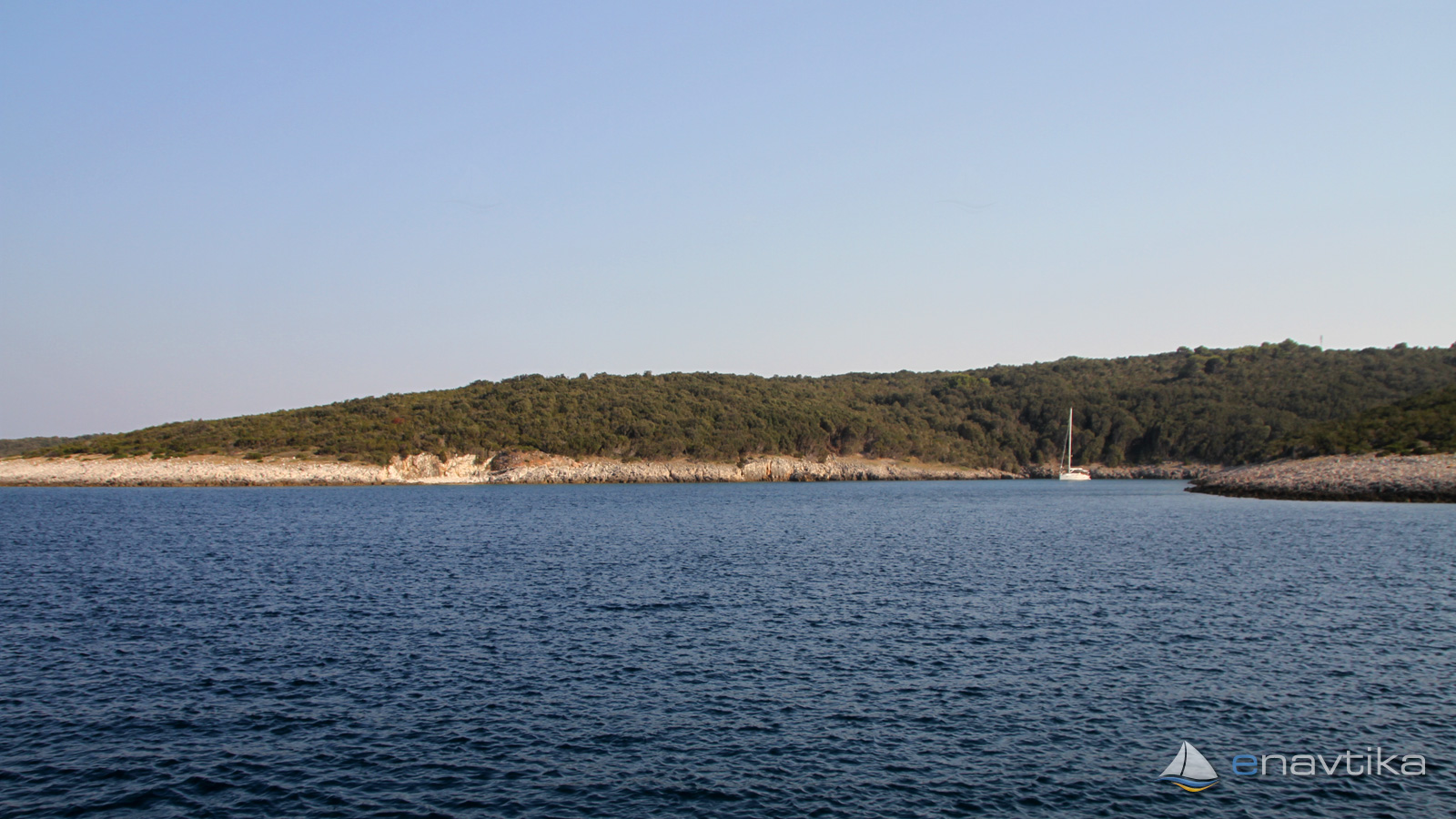
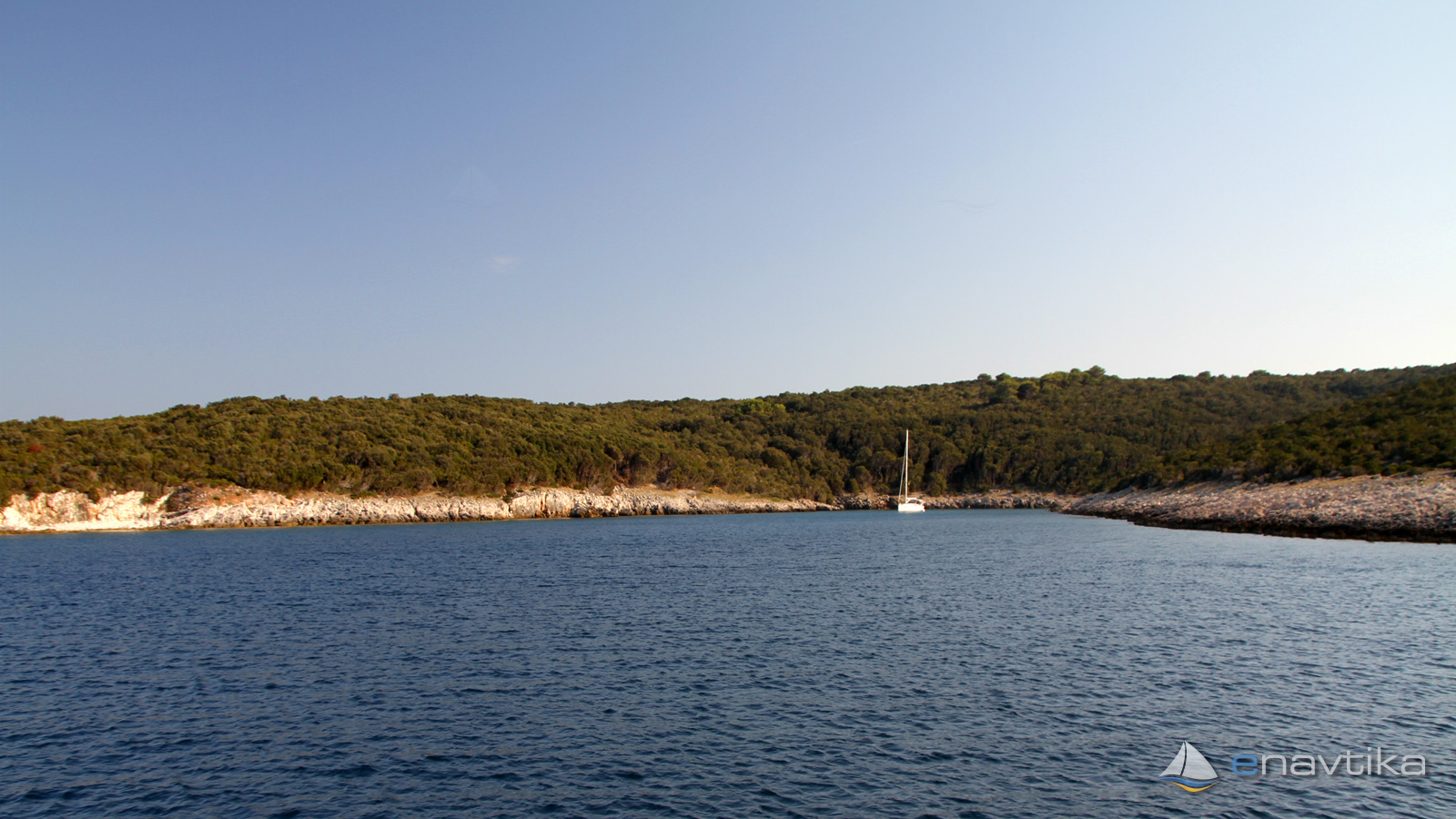
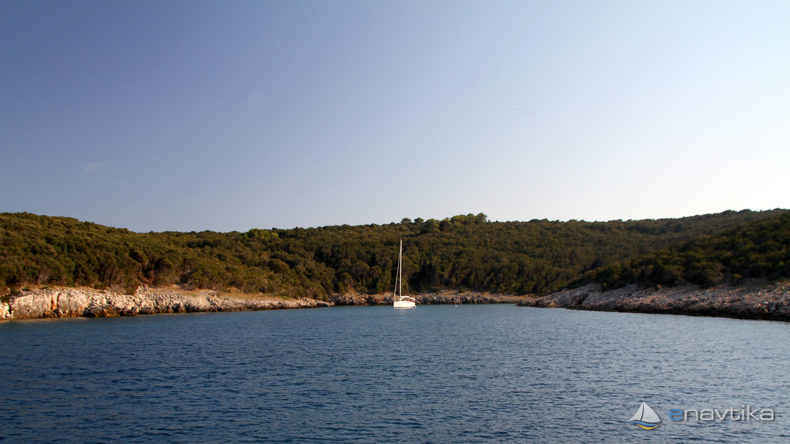
Bay Karstulj is on east side of island Molat. It is well protected against south and west winds. Seabed is sandy in the middle and rocky to the shore. Water depths are between 2 and 15 m. In sandy part the anchor holds well.
CAUTION
Bay is not suitable for anchoring in case of a storm.
Zaštita od vjetra/Vrijeme

Danas
- čv
Sutra
- čv
Petak
- čv
U blizini
-
 Lipič
Sidrište
0.39 nmi
Lipič
Sidrište
0.39 nmi
-
 Brgulje
Zanimljivost
0.57 nmi
Brgulje
Zanimljivost
0.57 nmi
-
 Brgulje Luka
Luka
0.74 nmi
Brgulje Luka
Luka
0.74 nmi
Zaštićeno
- Brgulje Luka Luka 0.74 nmi
- Brgulje Sidrište 0.84 nmi
- Podgarbe Sidrište 1.33 nmi

Cijene
| 25.10.2020 | 0,00 HRK/dan |

Komentari