
Foto
Fržital KM
Istra
 Oznaka
Objavil(a) eNavtika
, 23.01.2023
Podaci
| GPS | 45° 11' N , 13° 34' E |
| Dubina vode | 4 m |
| Mjesto | Poreč, Istra |
Info
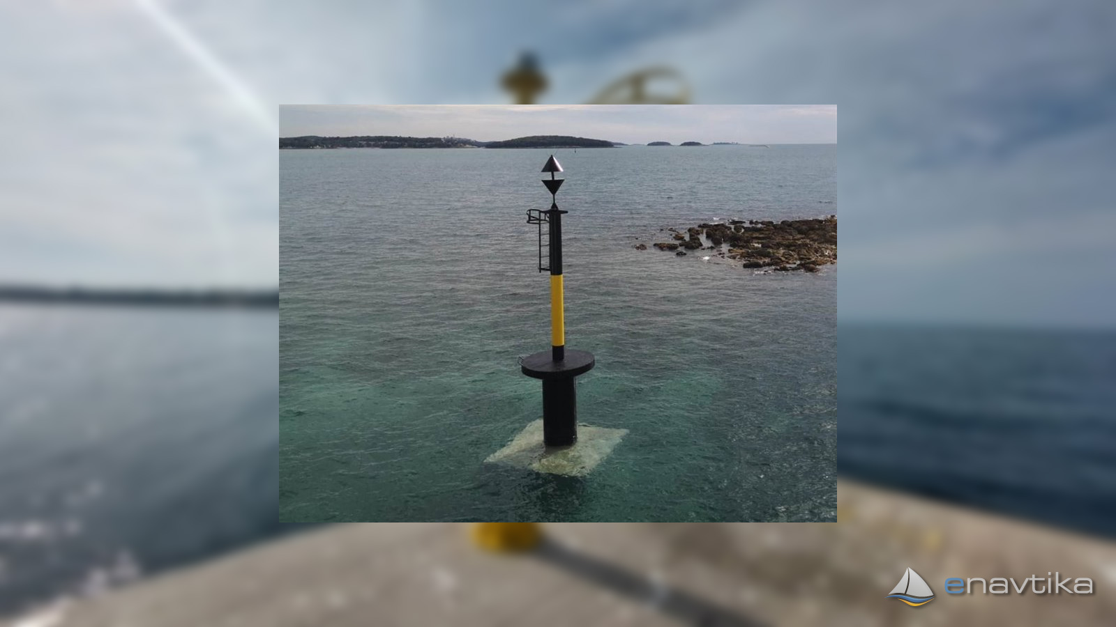
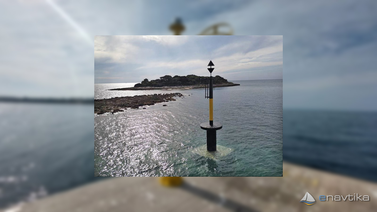
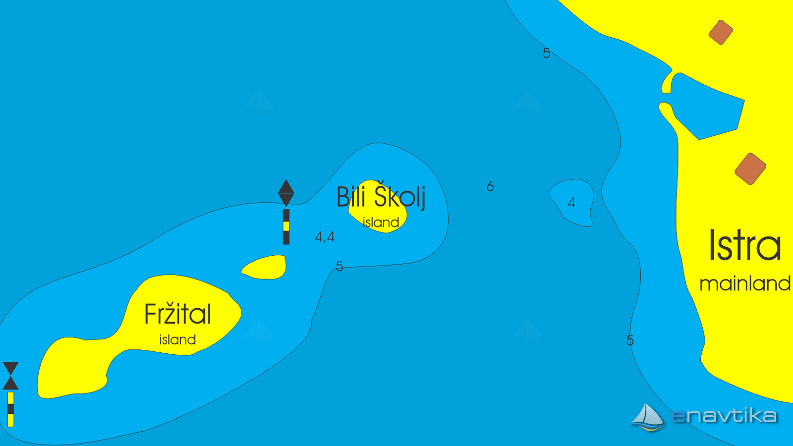
The cardinal mark EAST stands northeast of the island of Fižital in Istria. It marks a safe waterway between the island of Fižital and Bili Školj. The depth of the sea between the mark, which we have to cross on the eastern side, and the island of Bili Školj is 4.4 m. Navigation through the strait is safe for vessels with a draft of less than 4m. The construction of the sign is 6 m high. It is black in color with a wide yellow strip. At the top, it has two cones facing each other with their bases. The mark does not emit a light signal.
Vrijeme
Danas
- čv
Sutra
- čv
Petak
- čv
U blizini
-
 Zelena Laguna
Sidrište
0.67 nmi
Zelena Laguna
Sidrište
0.67 nmi
-
 Fereli Parentium
Servis
0.86 nmi
Fereli Parentium
Servis
0.86 nmi
-
 Parentium
Marina
0.93 nmi
Parentium
Marina
0.93 nmi

Komentari