
Foto
Mala Proversa R
Katina
 Oznaka
Objavil(a) eNavtika
, 31.07.2021
Podaci
| GPS | 43° 53' N , 15° 12' E |
| Dubina vode | 1 m |
| Mjesto | Katina |
Info
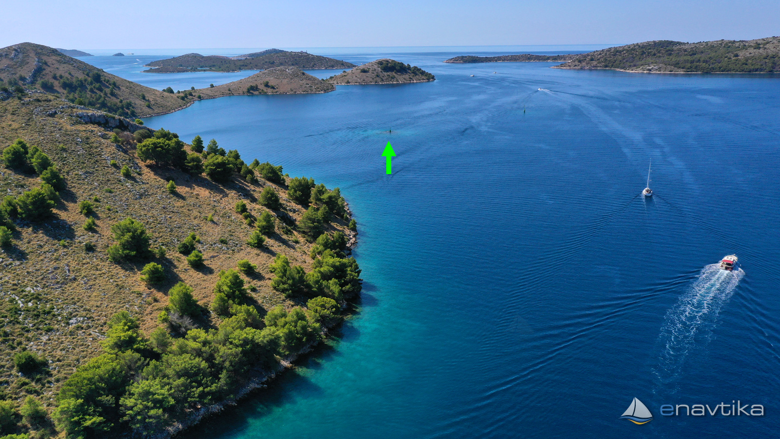
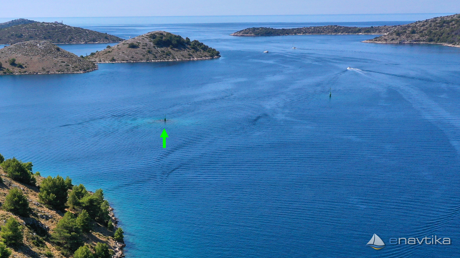
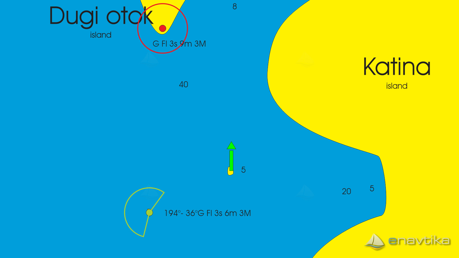
Green lateral mark stands on the west side of island Katina. It marks shallow waters around 200 m south-west from the cape. When navigating to Mala Proversa passage leave the mark on your right. Mark emits no light.
Vrijeme
Danas
- čv
Sutra
- čv
Petak
- čv
U blizini
-
 Mala Proversa 366.2
Svjetionik
0.12 nmi
Mala Proversa 366.2
Svjetionik
0.12 nmi
-
Usovine
Svjetionik
0.21 nmi
-
 Mala Proversa 336.4
Oznaka
0.32 nmi
Mala Proversa 336.4
Oznaka
0.32 nmi

Komentari