
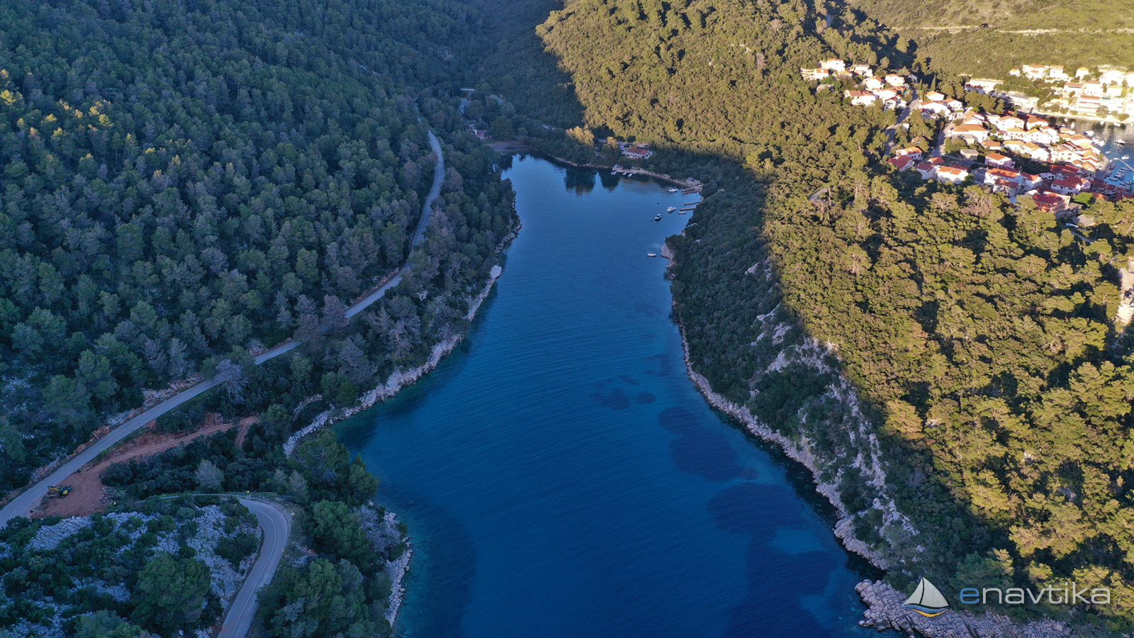
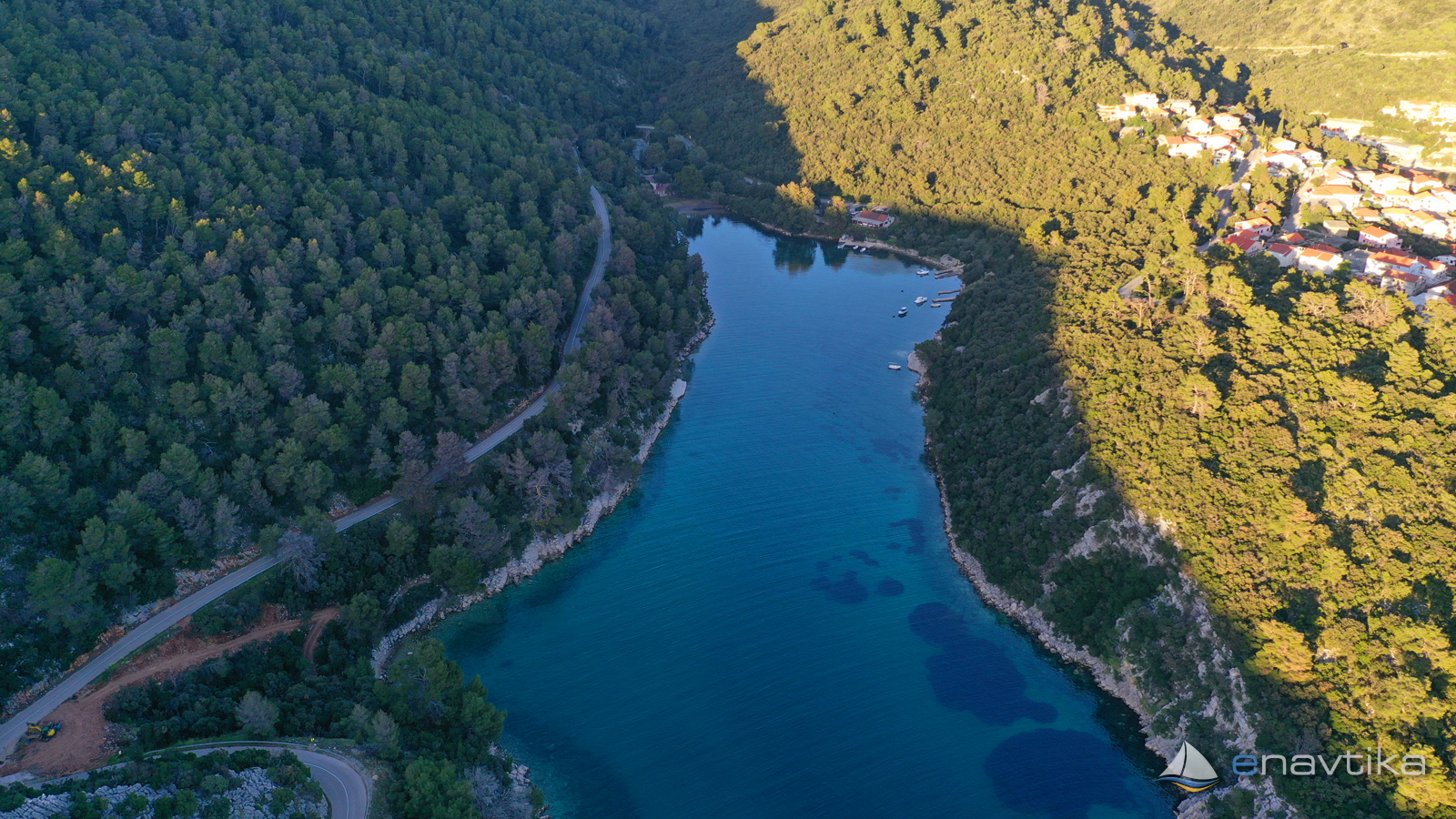
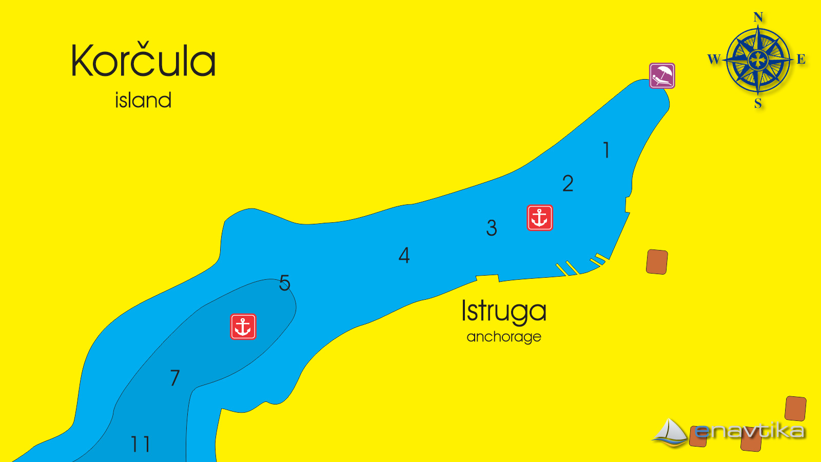
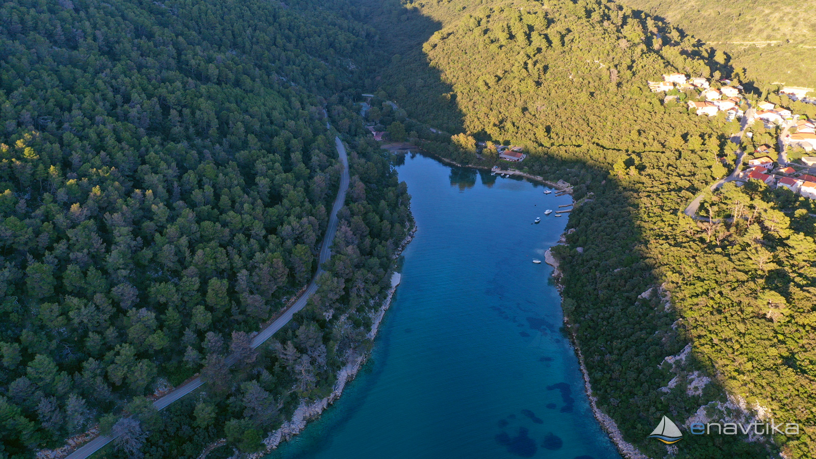
Istruga
Korčula
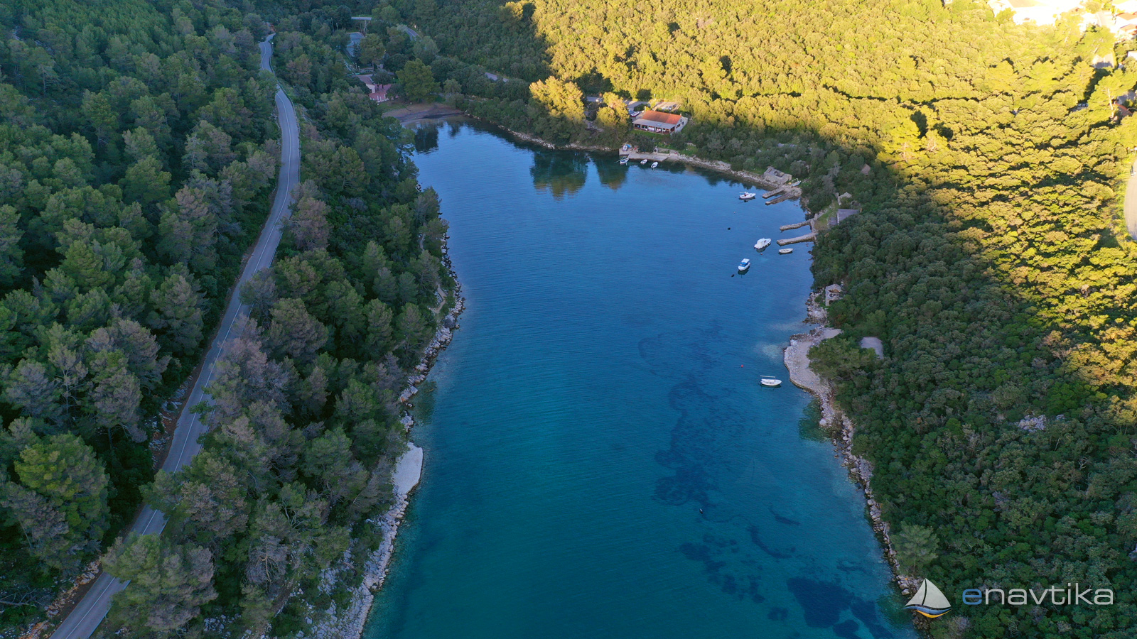
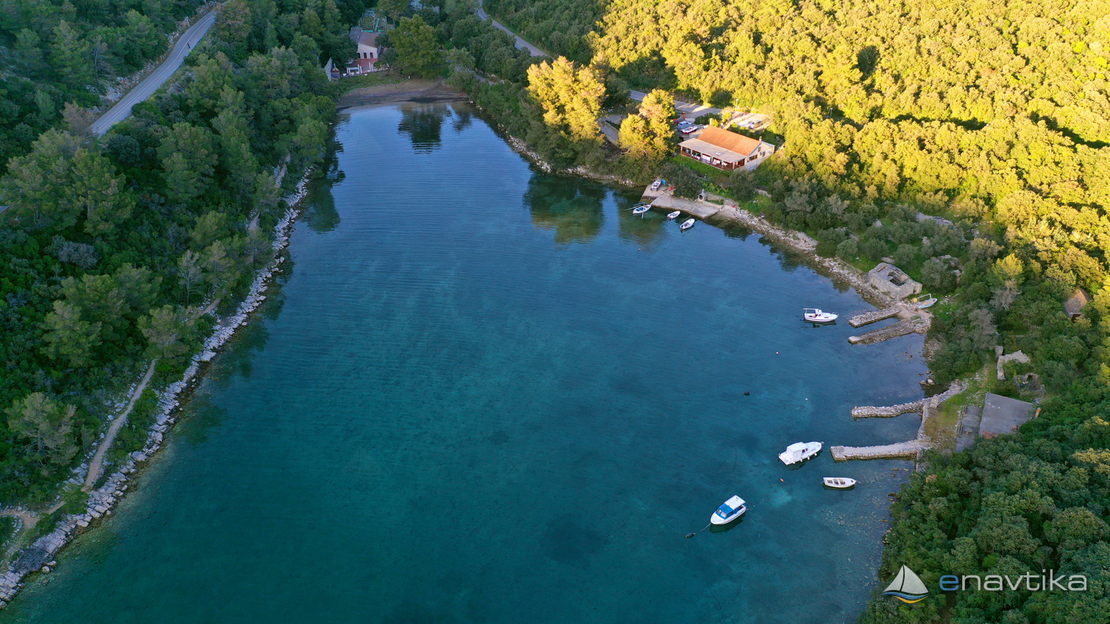
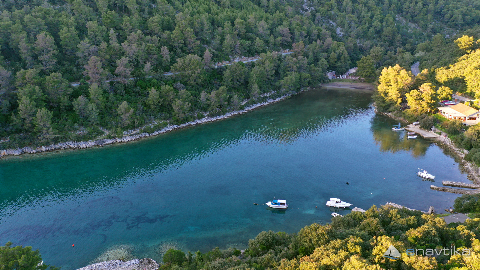
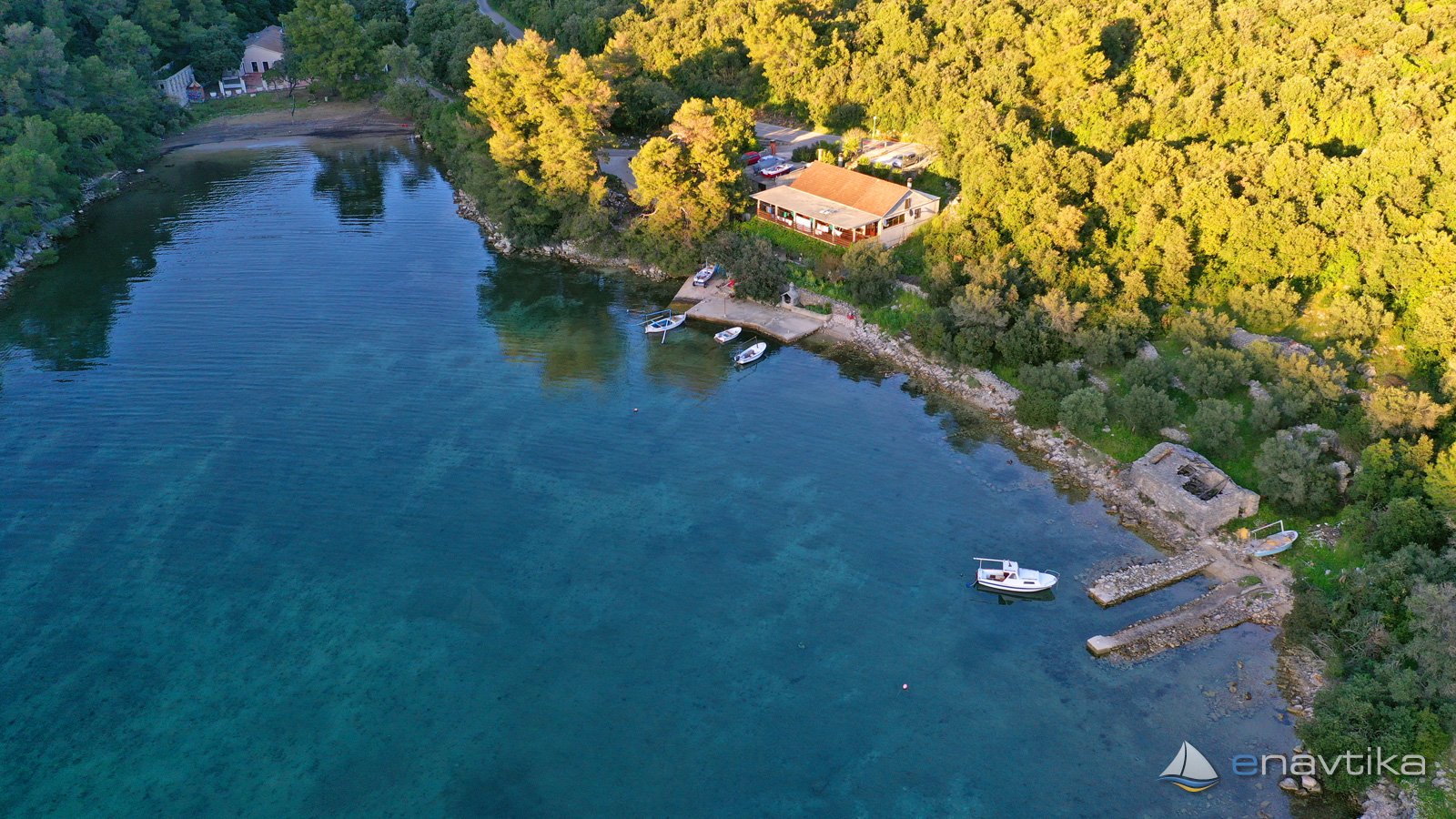
 Sidrište
Podaci
| GPS | 42° 54' N , 16° 51' E |
| Broj vezova | 0 |
| Dubina vode | 1 - 7 m |
| Radno vrijeme | 1.1. - 31.12. |
| Benzinska postaja | 10 nmi Ubli (Lastovo), 15 nmi Vela Luka |
| Mjesto | Brna, Korčula |
Info
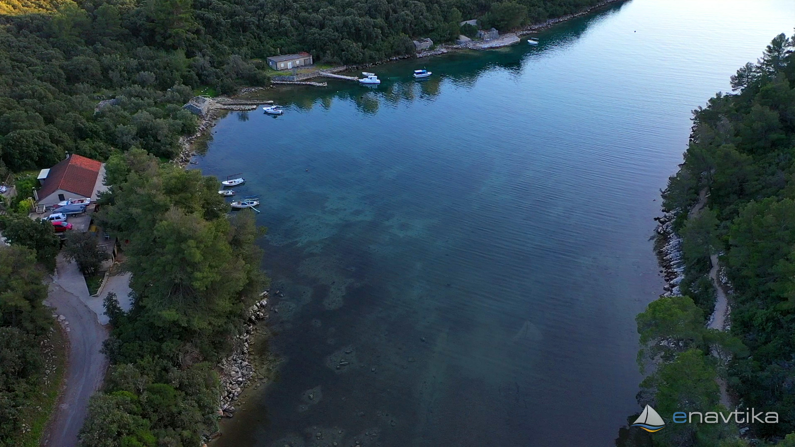
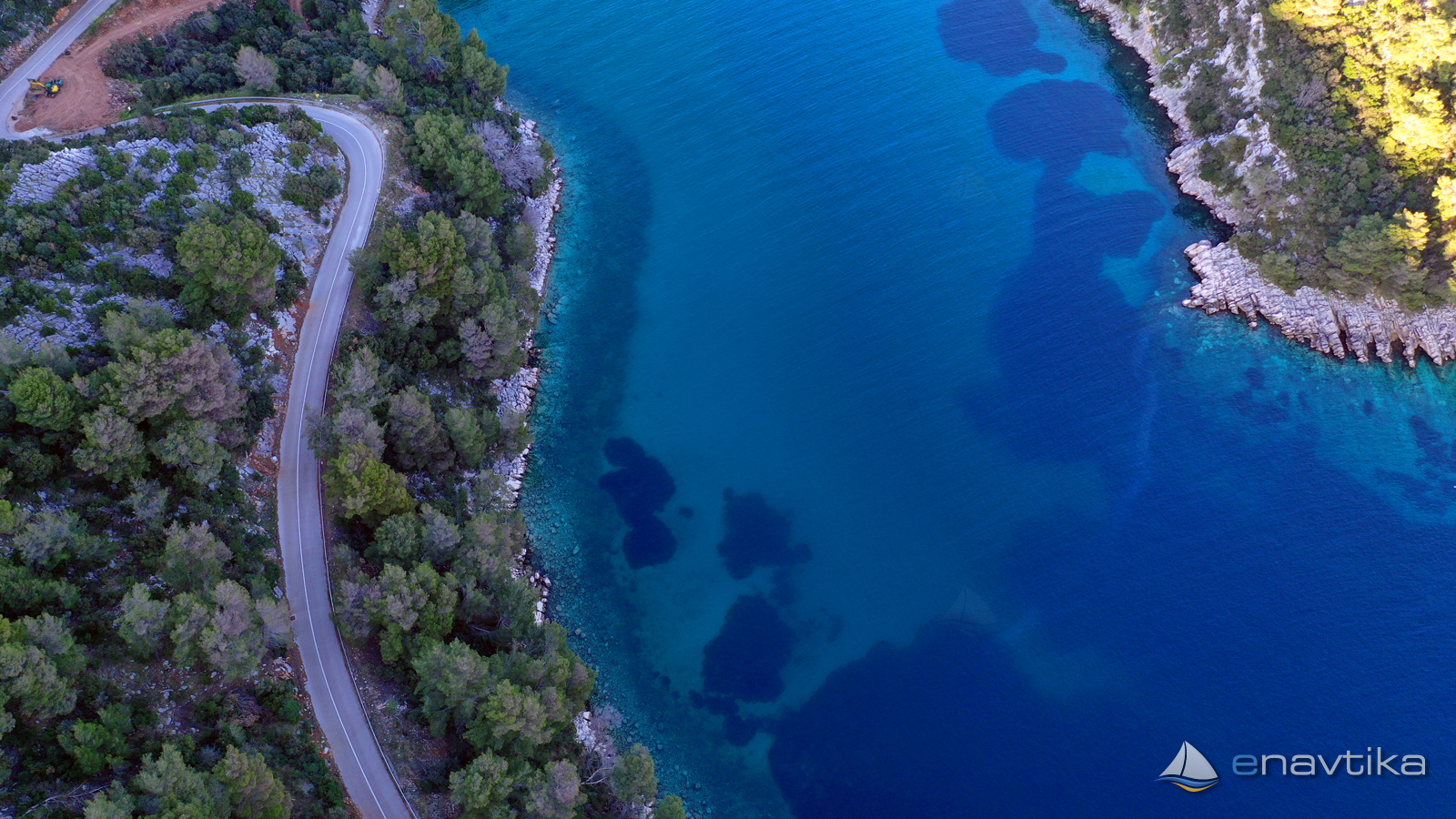
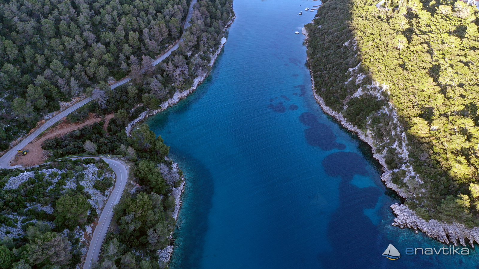
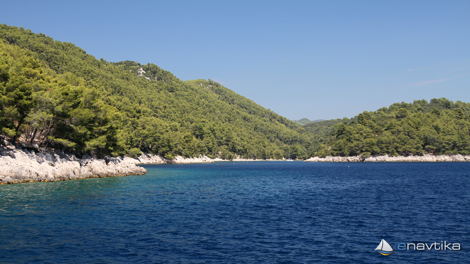
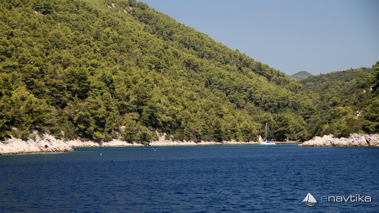
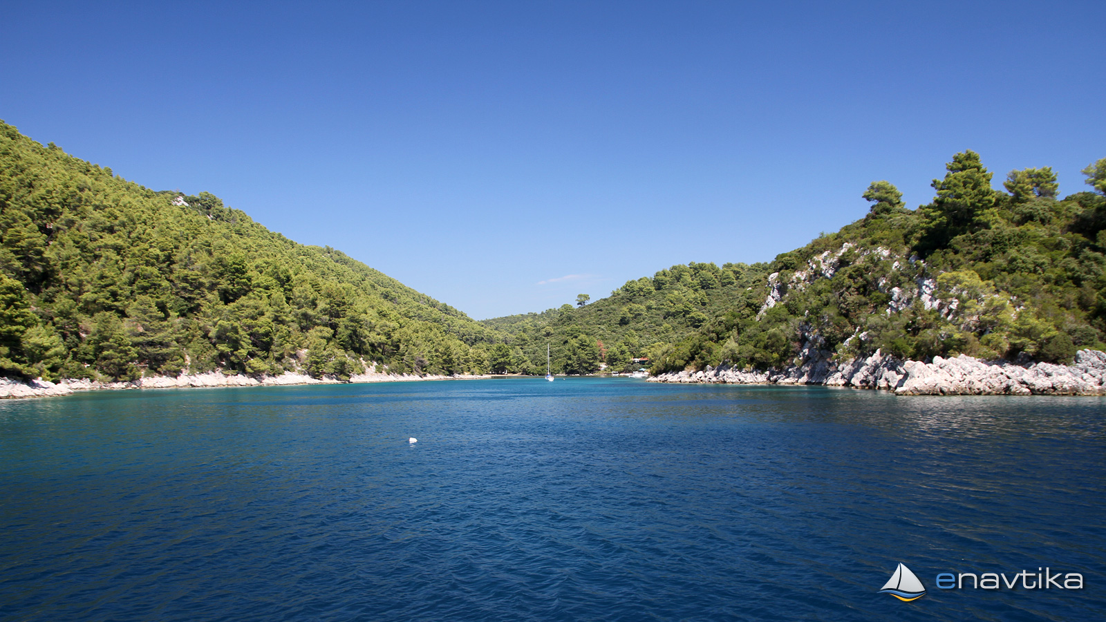
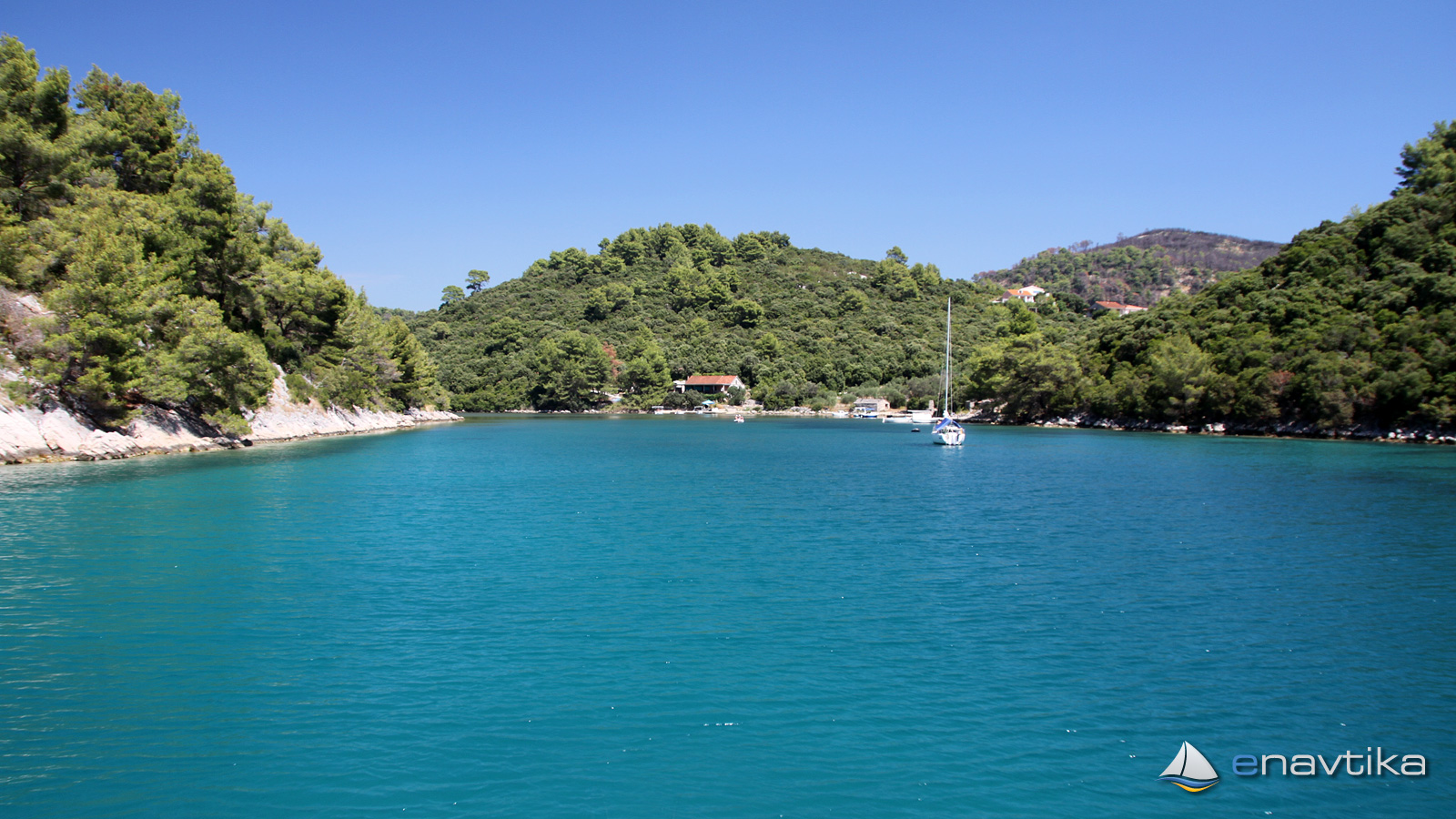
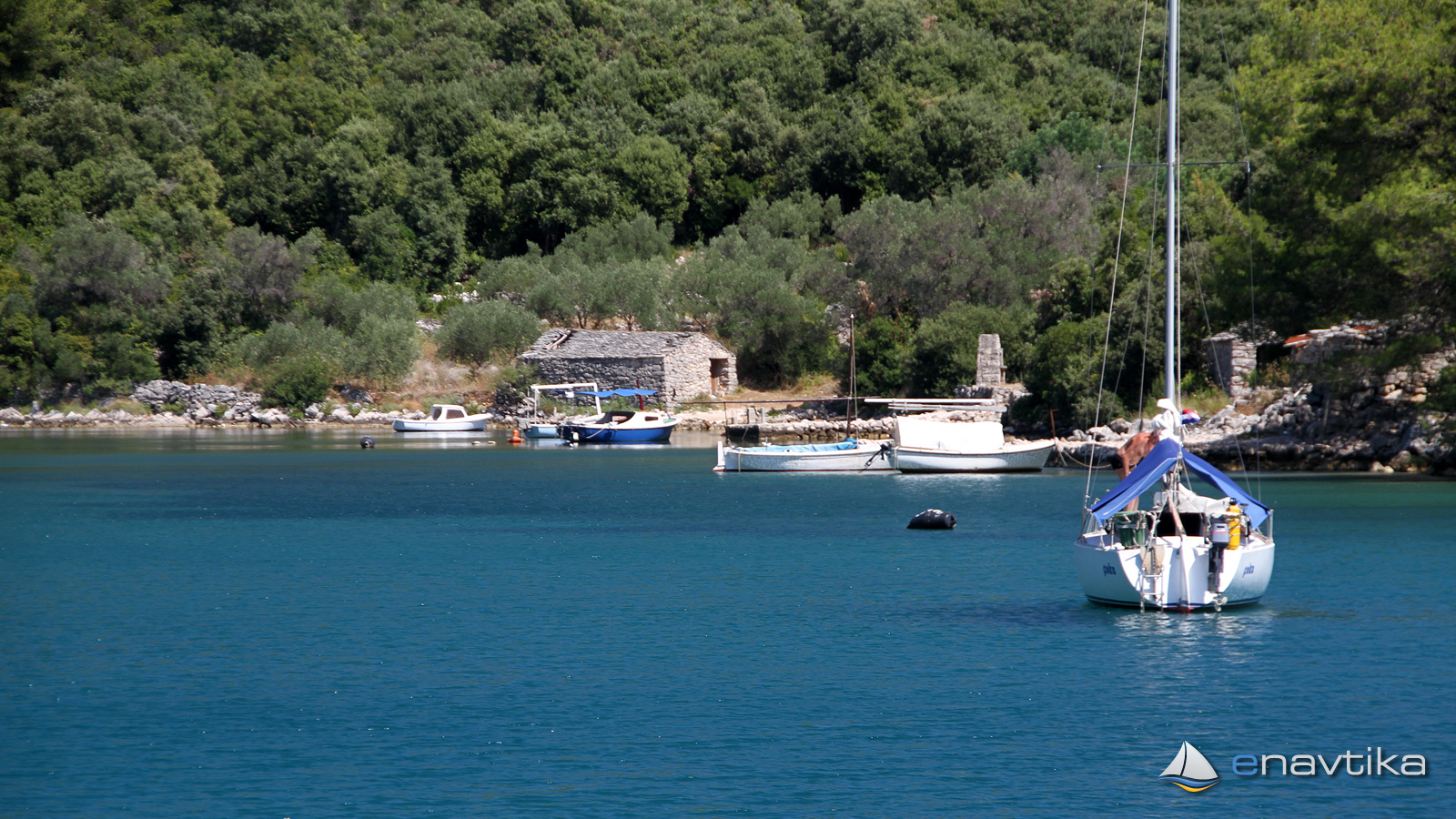
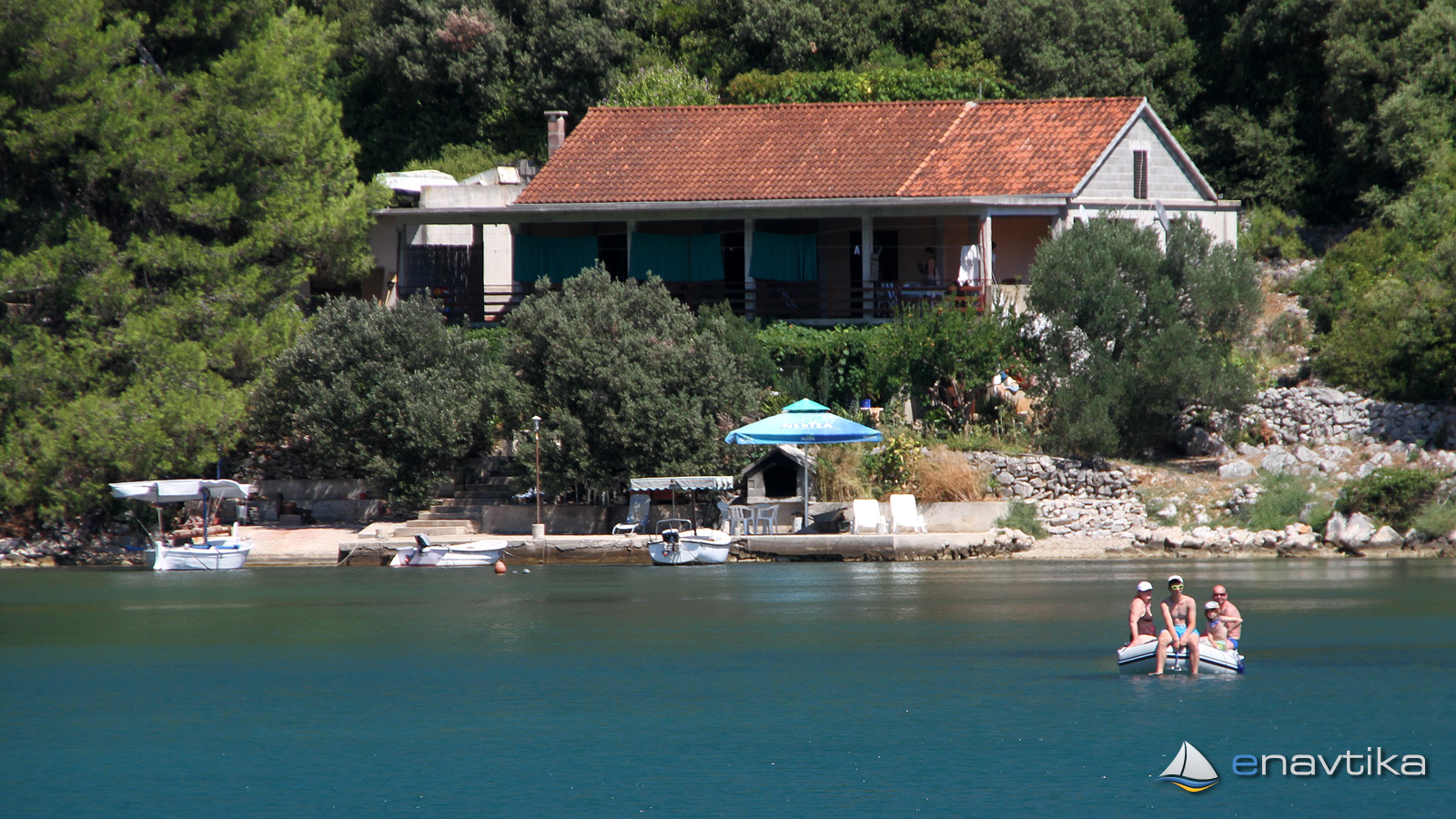
The Istruga anchorage is on the south side of the island of Korčula, northwest of the port of Brna. The bay is protected from all winds. We can anchor at depths between 1 and 7 m. The bottom is sandy and in the northeastern part there is silt and mud. The northeastern part of the bay is very shallow. The depths are between 0.5 and a maximum of 2 m. Anchoring in this part of the bay is only suitable for vessels with a shallow draft up to 1m. The sailboat can be anchored in the western, slightly less protected part of the bay. The anchor hold well everywhere. No concession has been granted for the bay. There is no need to pay for the overnight stay. There is no supply in the bay. The nearest restaurant and shop are in the port of Brna, where a footpath leads to. The distance is only 300 m.
Zaštita od vjetra/Vrijeme

Danas
- čv
Sutra
- čv
Srijeda
- čv
U blizini
-
 Mali Jakov
Restoran
0.23 nmi
Mali Jakov
Restoran
0.23 nmi
-
 Brna E3464
Svjetionik
0.23 nmi
Brna E3464
Svjetionik
0.23 nmi
-
 Brna
Luka
0.26 nmi
Brna
Luka
0.26 nmi
Zaštićeno
- Brna Luka 0.26 nmi
- Prišćapac Sidrište 1.51 nmi
- Vela Prižba Sidrište 2.59 nmi

Cijene
| 10.02.2018 | 0,00 HRK/m/dan |
Komentari