
Brna
Korčula
 Luka
Luka
Podaci
| GPS | 42° 54' N , 16° 51' E |
| Broj vezova | 5 |
| Dubina vode | 3 - 20 m |
| Radno vrijeme | 1.1. - 31.12. |
| Benzinska postaja | 10 nmi Ubli (Lastovo), 15 nmi Vela Luka |
| Mjesto | Korčula |
Info
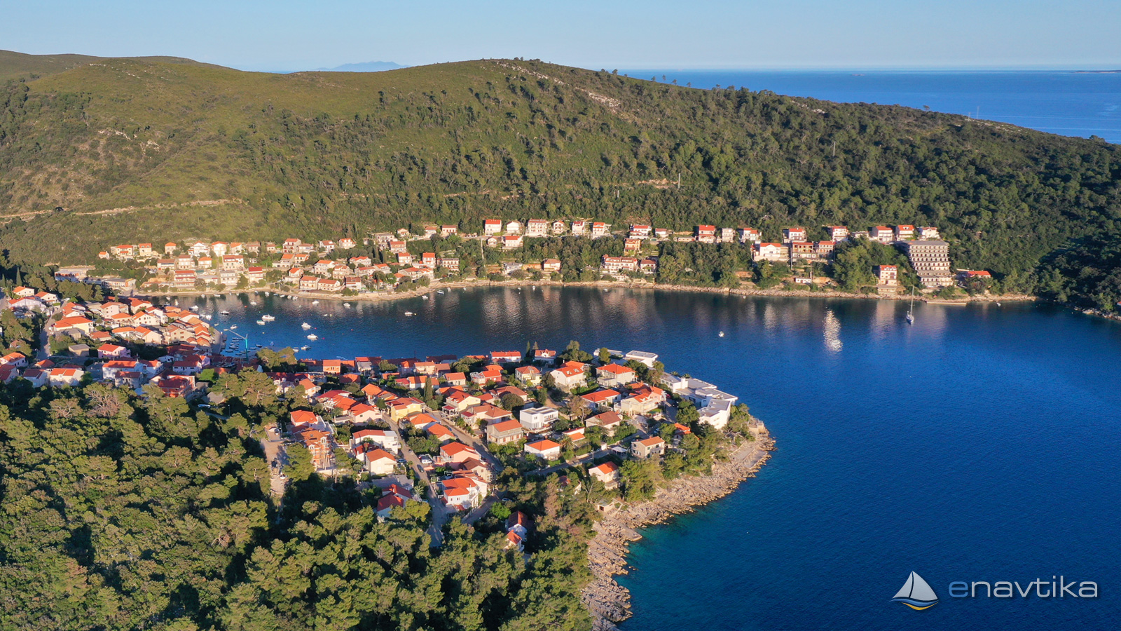
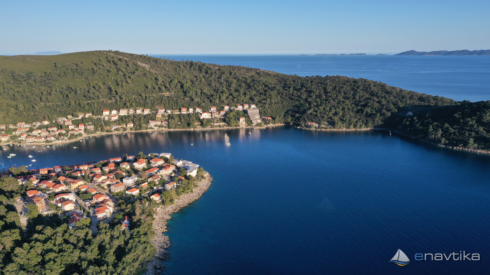
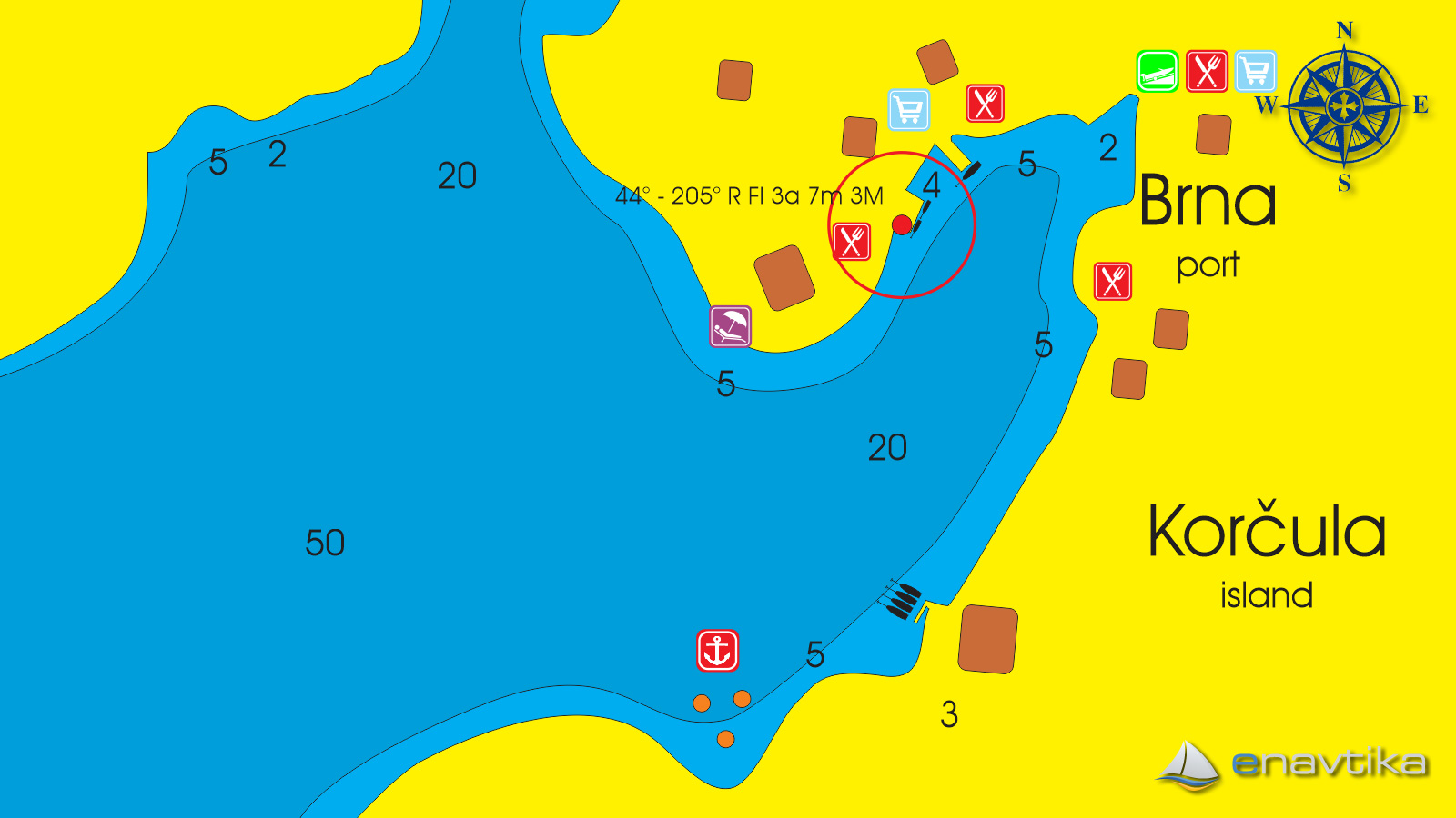
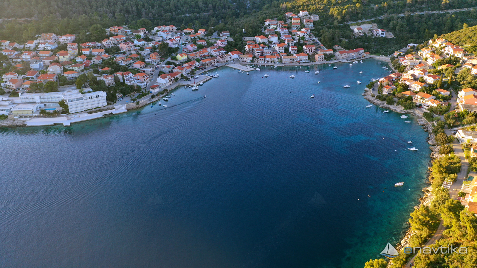
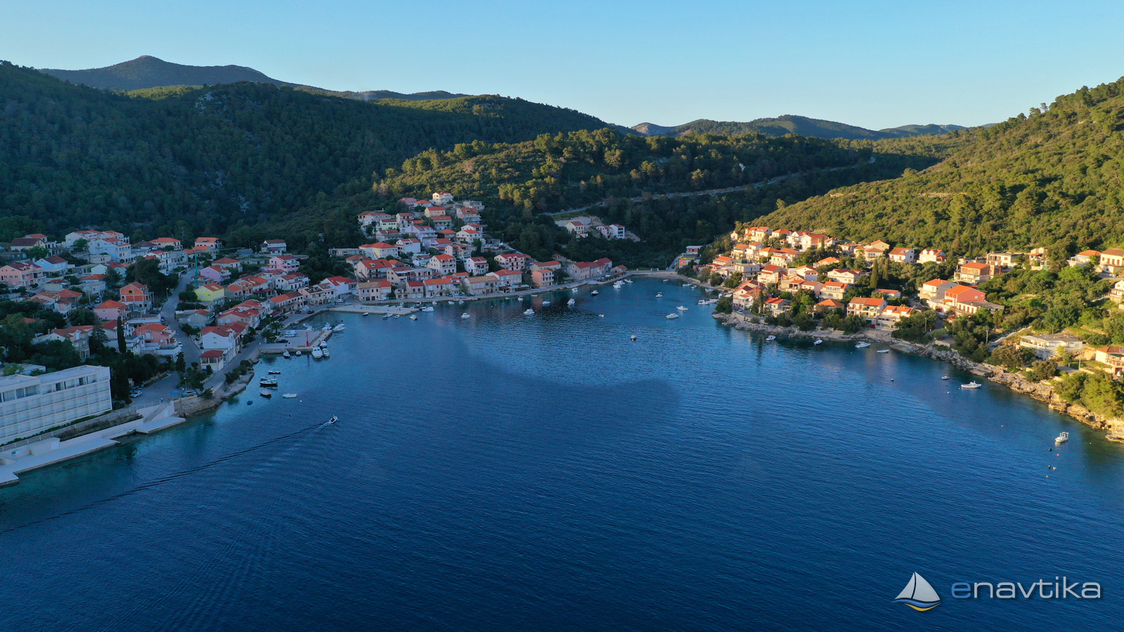
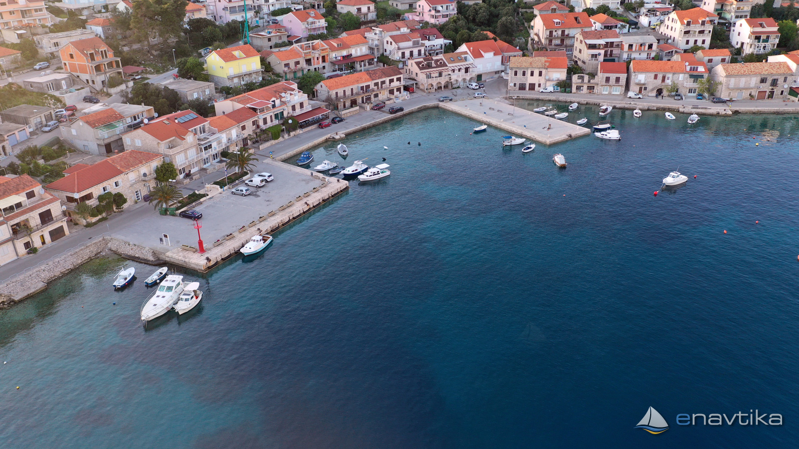
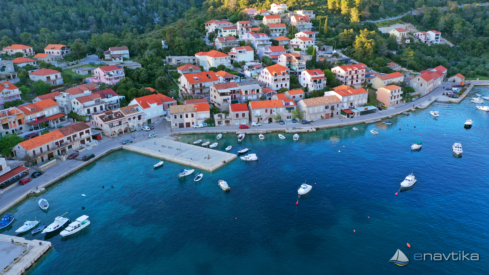
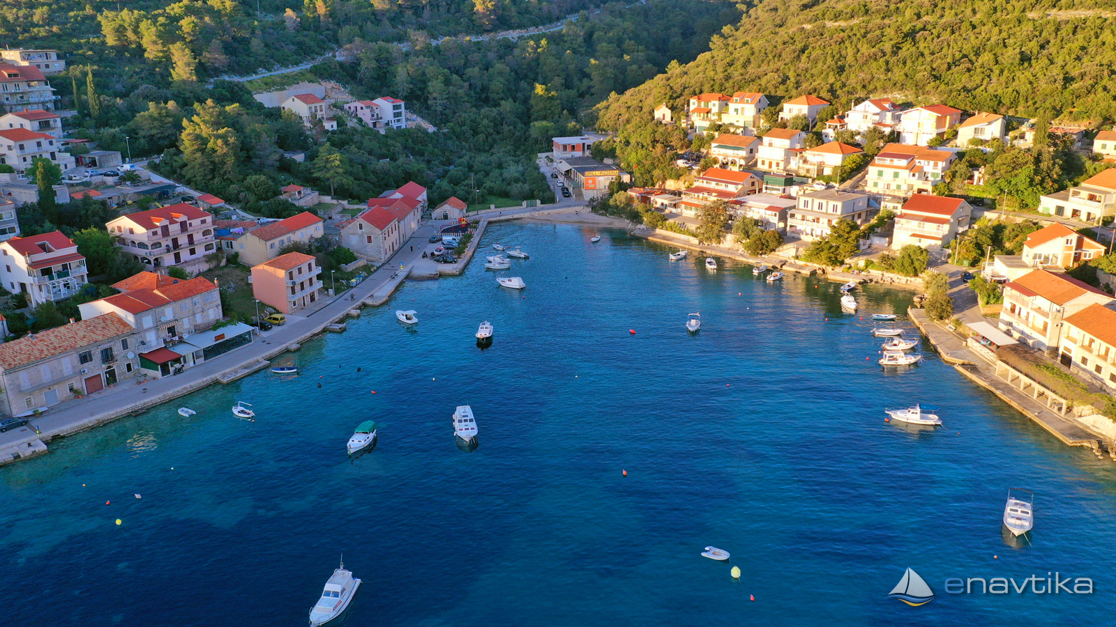
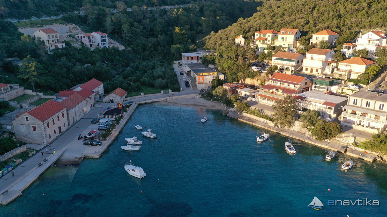
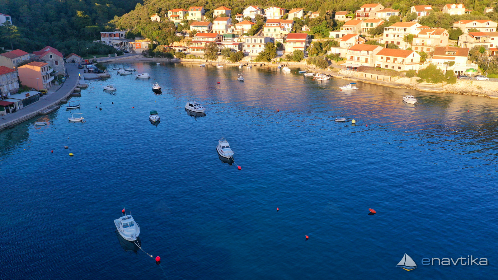
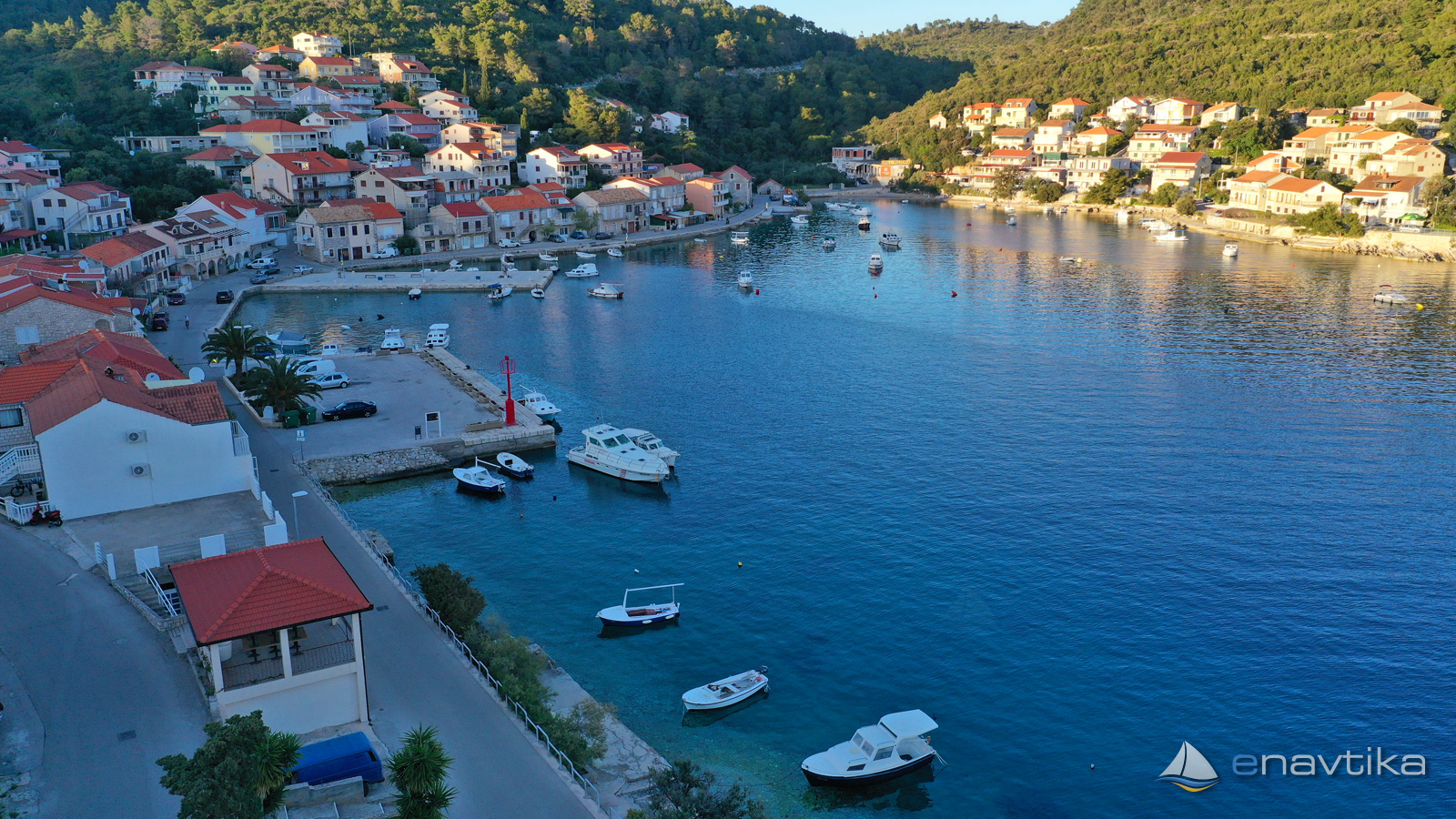
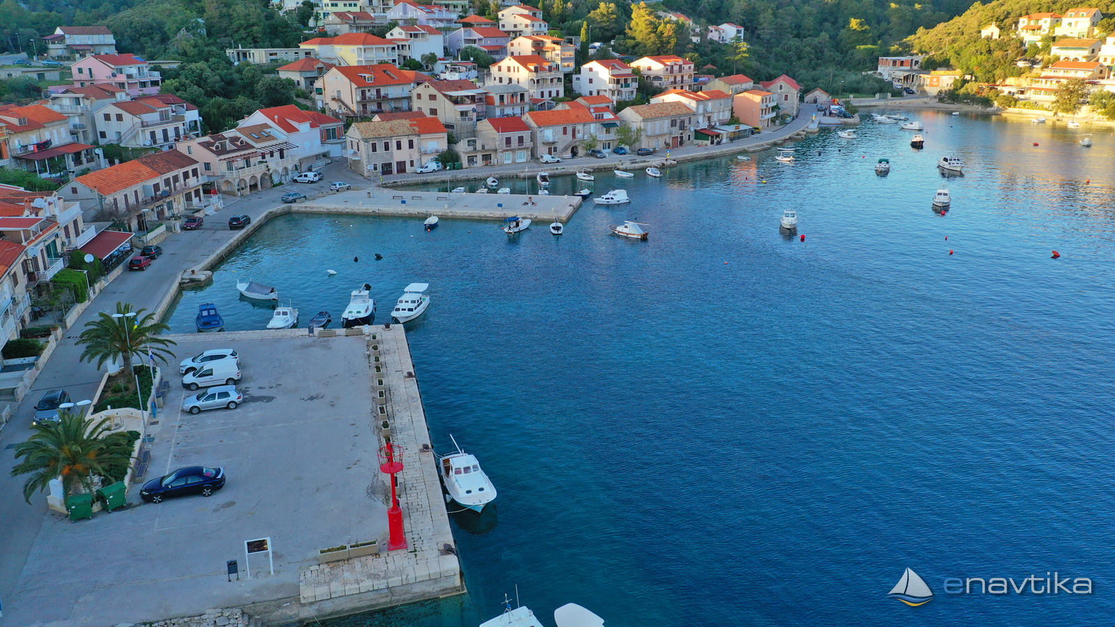
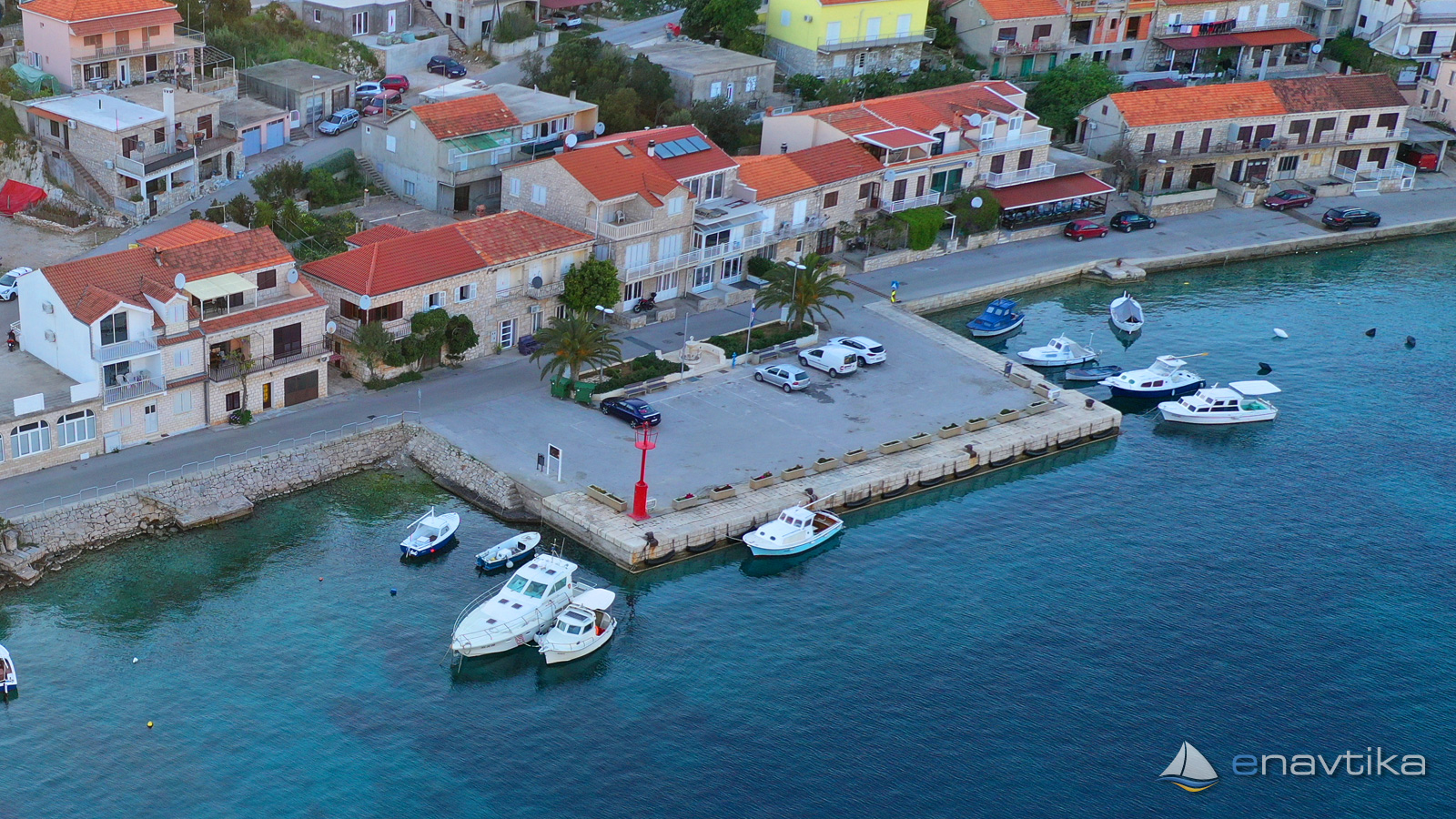
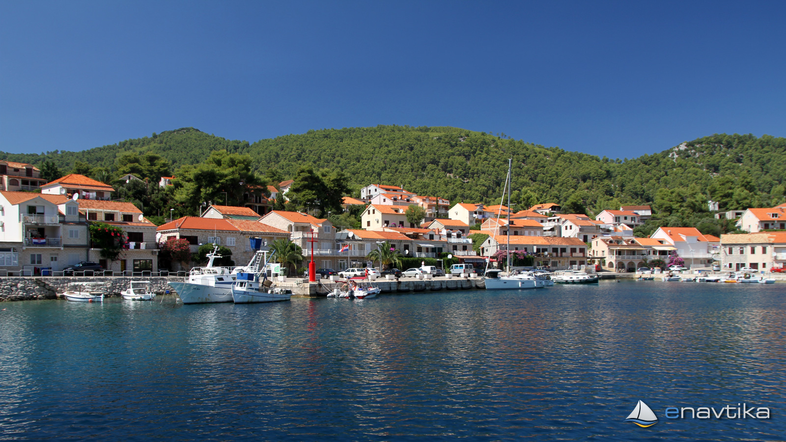
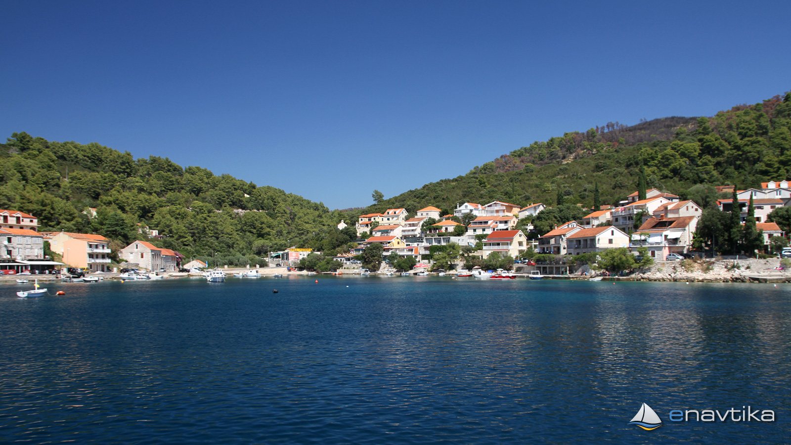
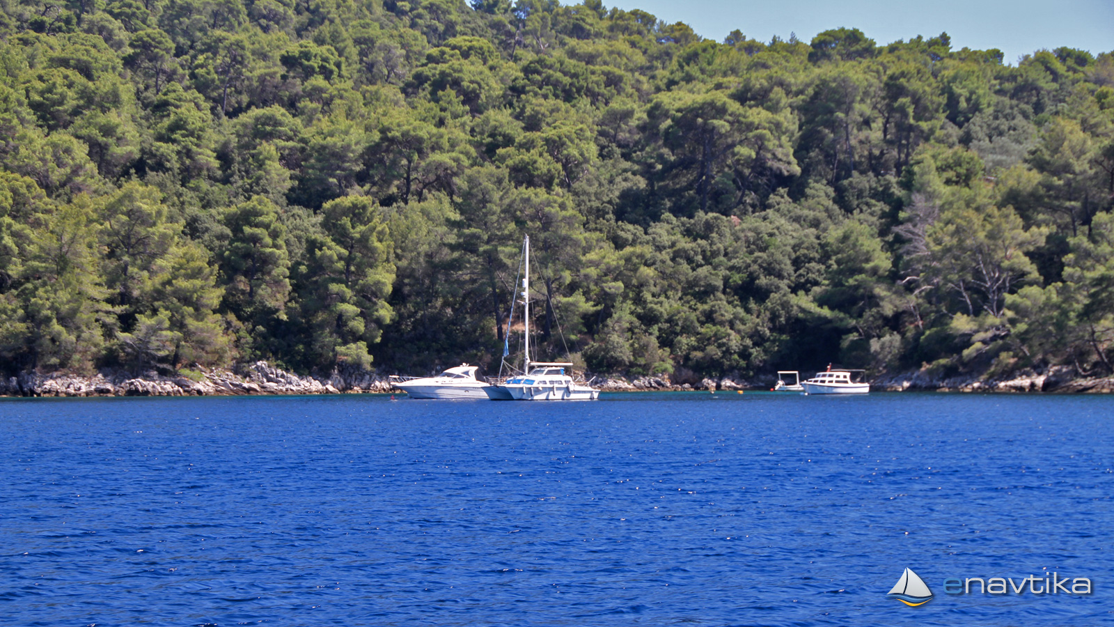
The port of Brna is located on the southern side of the island of Korčula. It is well protected from all winds. Waves are caused only by a strong westerly or southwesterly. The vessel can be moored sideways next to the port pier to the red lighthouse (44 °-205 ° R Fl 3s 7m 3M) or at the head of the northwest pier. There is room for 5 vessels. We can also anchor in front of the port in the northern part at depths between 2 and 8 m or in the southeastern part at 2 and 20 m. In the northern part, there are numerous mooring buoys intended for the smaller vessels of the locals. There are several inns and bars, shops and hotels in the port. We enter the bay from the west. Leave the Veli Zaglav lighthouse (B Bl 3s 13m 7M) on your right. When sailing past Cape Mali Zaglav, we must pay attention to the fences of the public beaches of the hotel complex, which extends over the southern part of the cape.
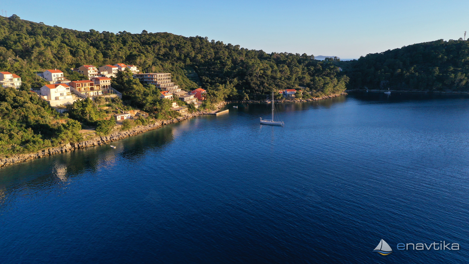
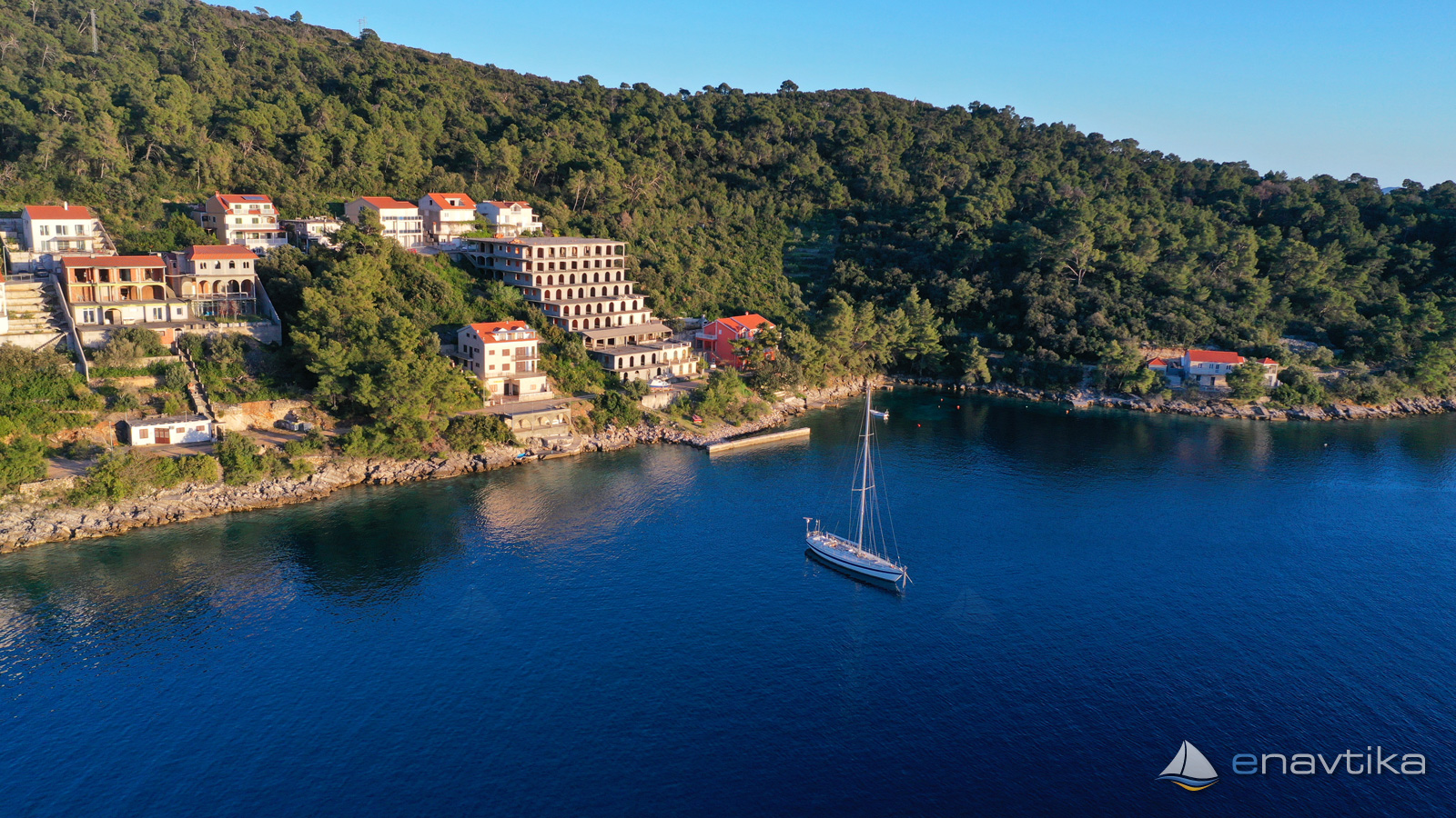
If we cannot find a suitable berth in the port, we can anchor in the bay of Istruga, which is only 500m to the west.
Zaštita od vjetra/Vrijeme

Danas
- čv
Sutra
- čv
Petak
- čv
U blizini
-
 Brna E3464
Svjetionik
0.05 nmi
Brna E3464
Svjetionik
0.05 nmi
-
 Mali Jakov
Restoran
0.07 nmi
Mali Jakov
Restoran
0.07 nmi
-
 Istruga
Sidrište
0.26 nmi
Istruga
Sidrište
0.26 nmi
Zaštićeno
- Istruga Sidrište 0.26 nmi
- Vela Prižba Sidrište 2.73 nmi
- Žitna Sidrište 3.62 nmi

Komentari