Vela Prižba
Korčula
 Anchorage
Data
| GPS | 42° 54' N , 16° 47' E |
| Nr. of moorings | 0 |
| Water depth | 2 - 6 m |
| Opening hours | 1.1. - 31.12. |
| Gas station | 10 nmi Vela Luka, 10 nmi Ubli (Lastovo) |
| Place | Korčula |
About
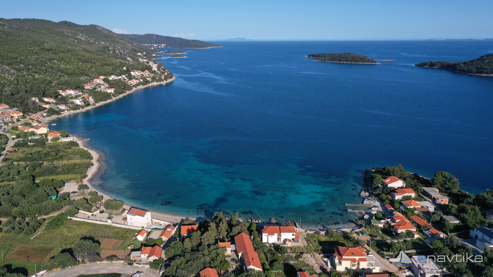
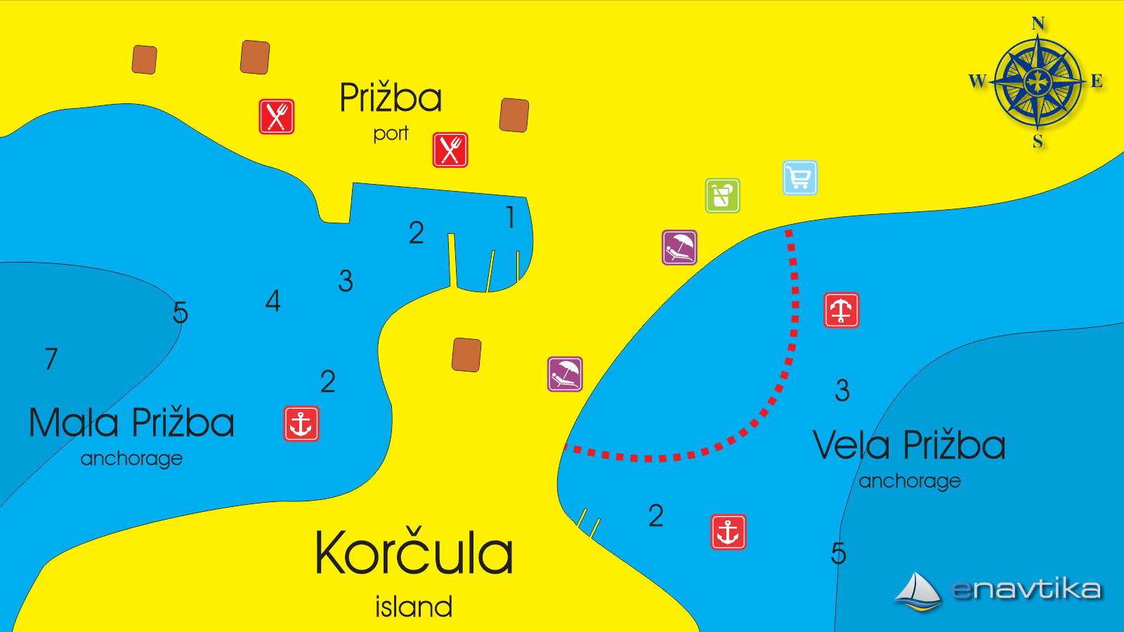
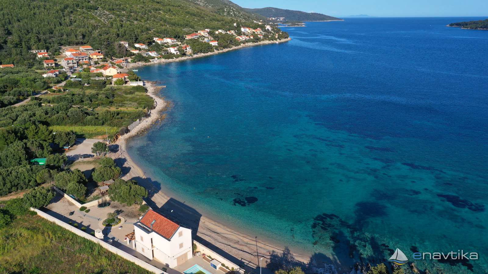
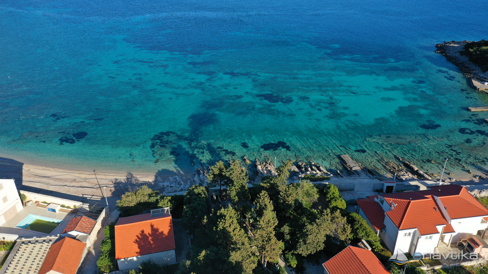
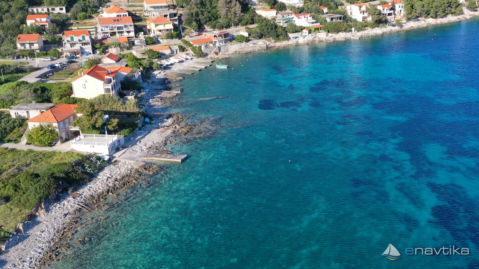
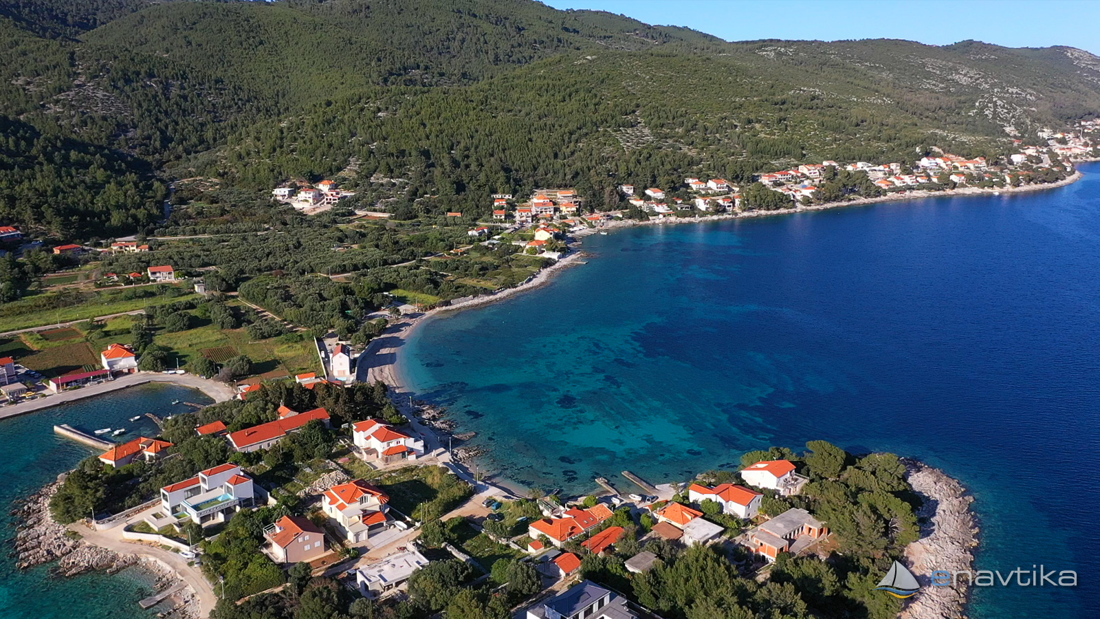
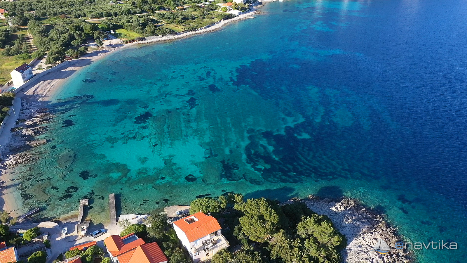
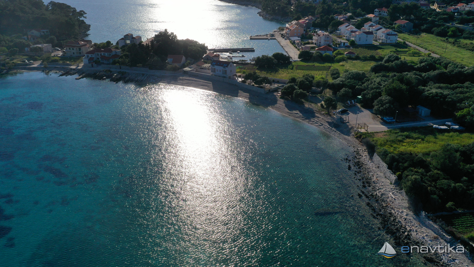
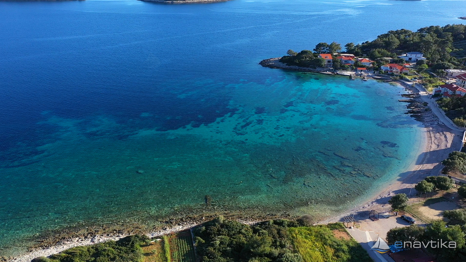
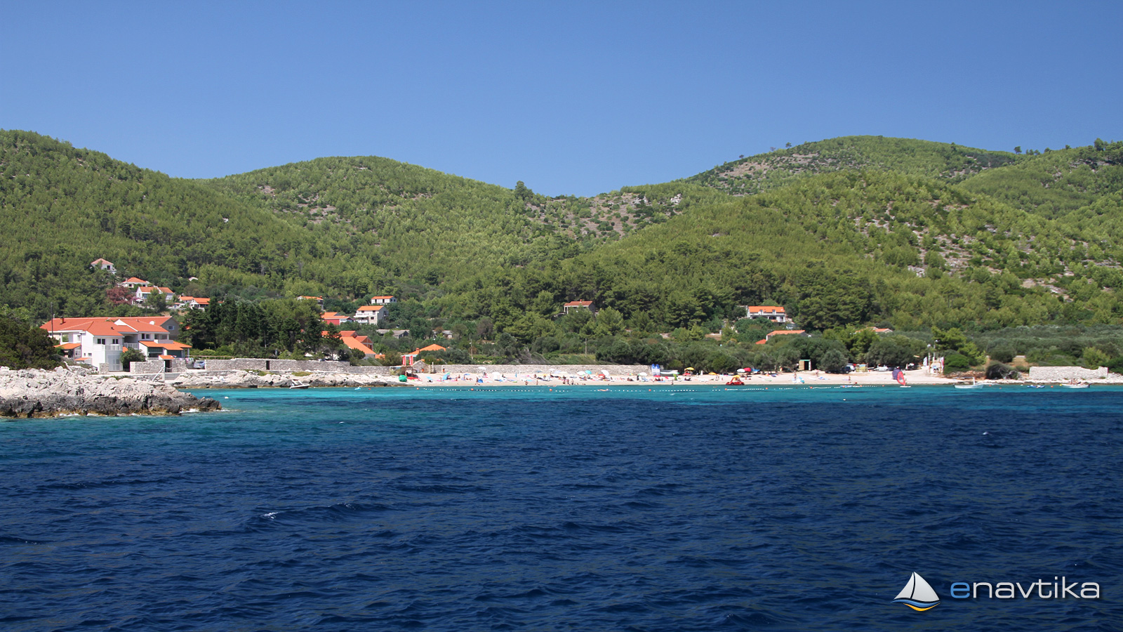
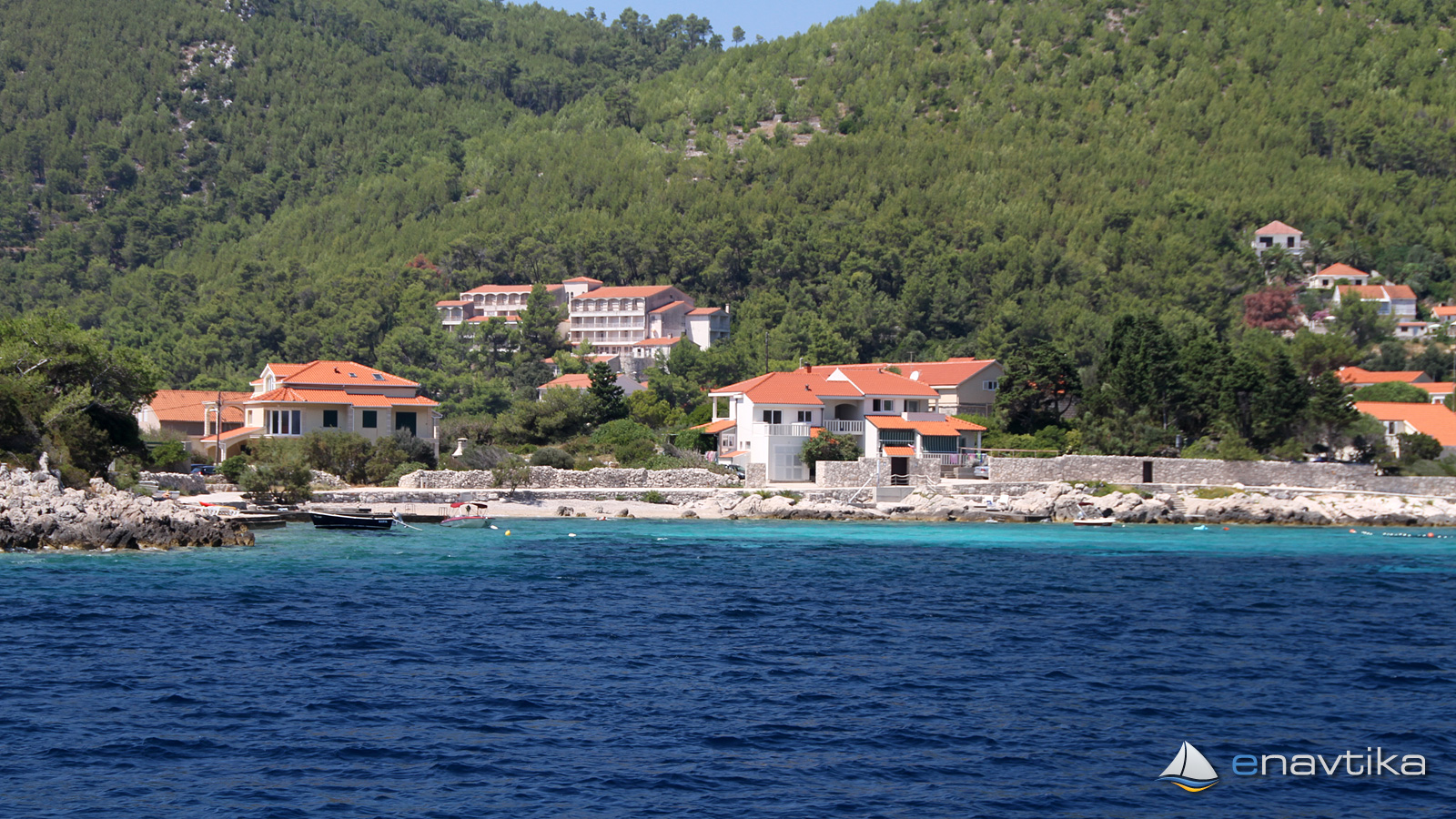
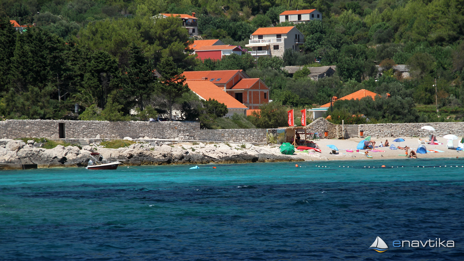
Vela Prižba Bay is on the southern side of the island of Korčula. It is on the eastern side of the cape, which protects it from westerly winds, including the mistral, which blows from west to east in the Lastovsko channel. We can anchor in the bay at depths between 2 and 6 m. The bottom is sandy and rocky in parts. The shallower part is mostly rocky, the sandy part begins only at depths above 4 m. The anchor holds well in the sand. In the southwestern part of the bay there are two smaller piers where we can land with a tender. The depth of the sea is 0.5 m. There is a fenced public beach in the northwestern part of the bay. In the summer season, there is a sports equipment rental shop in the bay. The nearest inn is in the port of Prežba, which is only 50 m away.
Wind protection/Weather
Today
- knots
Tomorrow
- knots
Wednesday
- knots
Nearby
-
 Mala Prižba
Port
0.15 nmi
-
 Grščica
Port
0.95 nmi
-
 Prišćapac
Anchorage
1.11 nmi
Protected
- Mala Prižba Port 0.15 nmi
- Istruga Anchorage 2.59 nmi
- Brna Port 2.73 nmi
Prices
| 13.03.2018 | 0,00 HRK/m/dan |






Comments