
Video
Foto
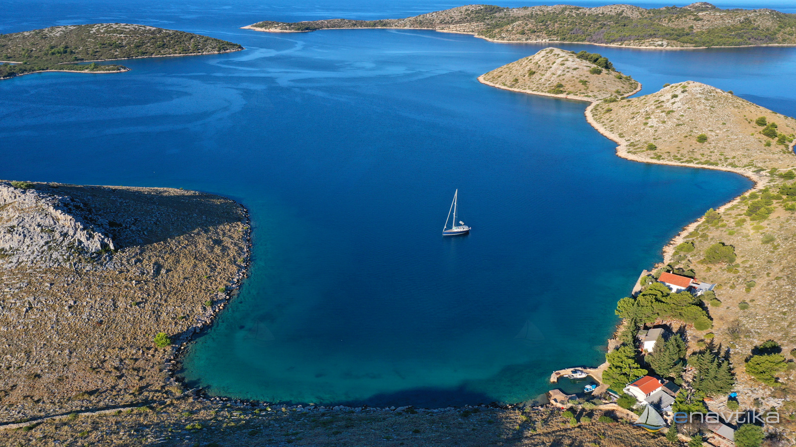
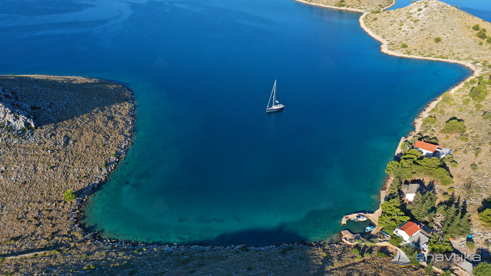
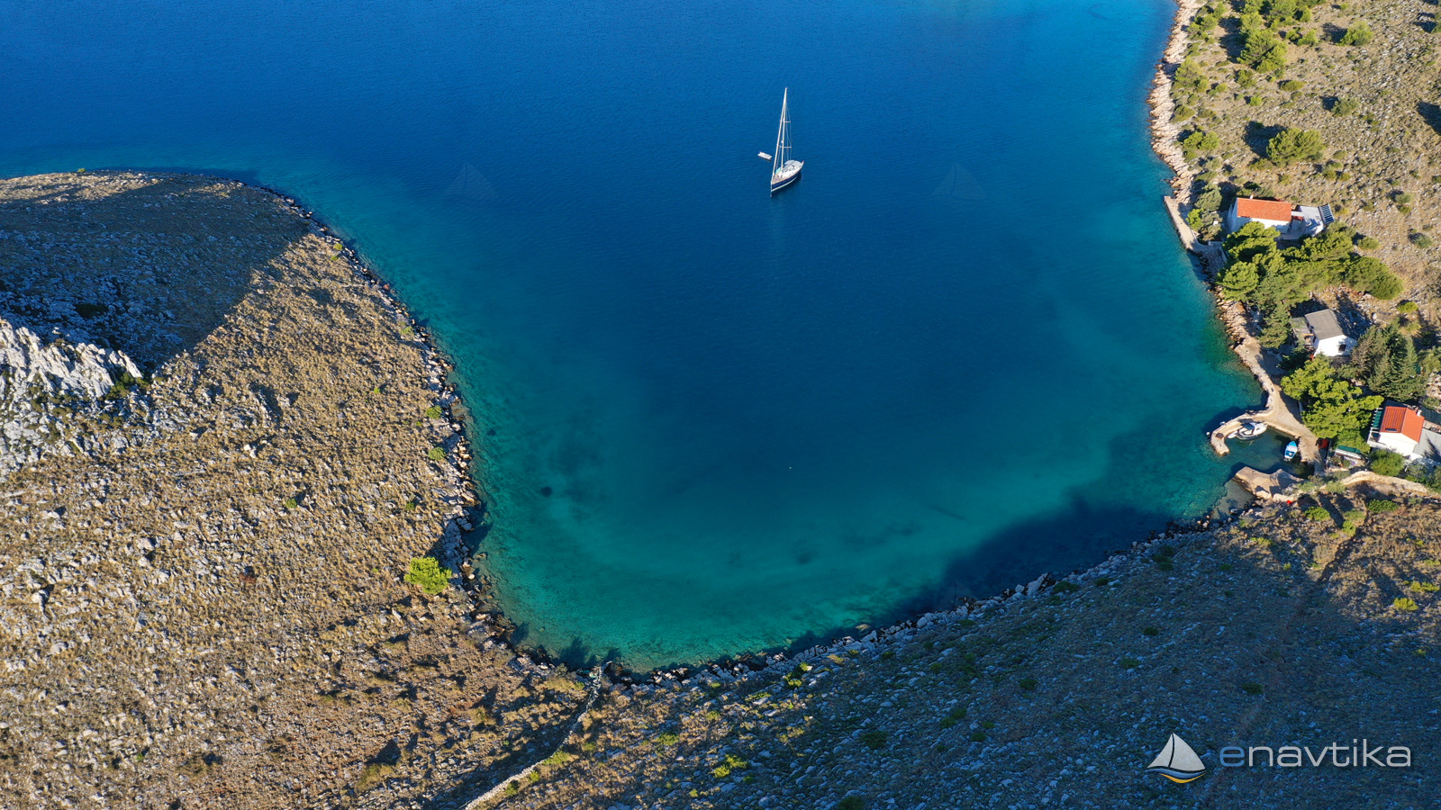
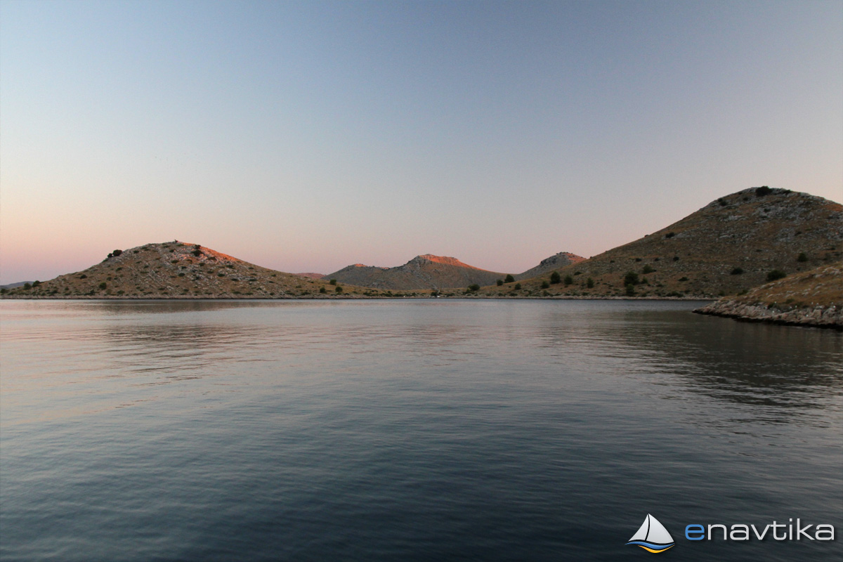
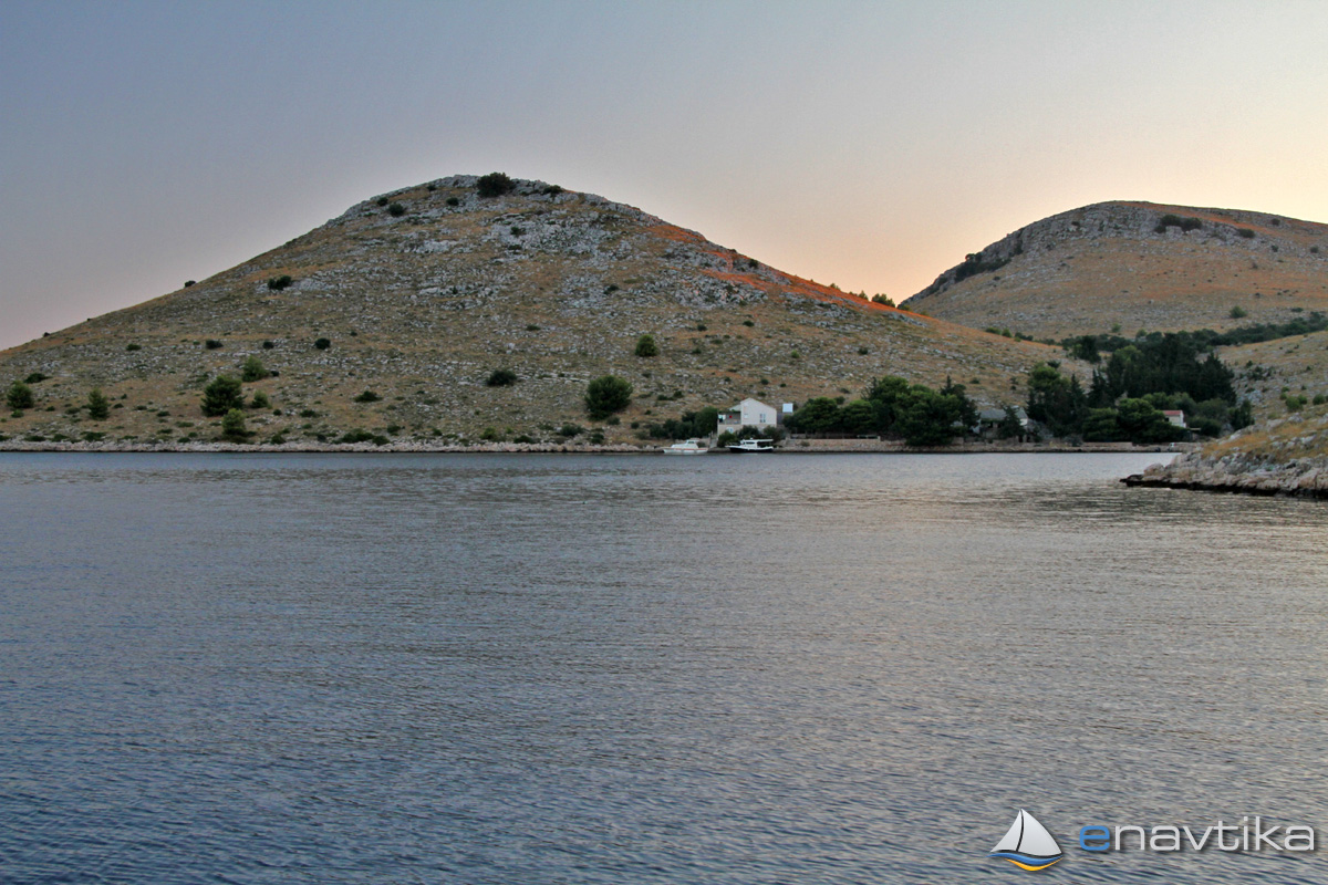
Katina SW
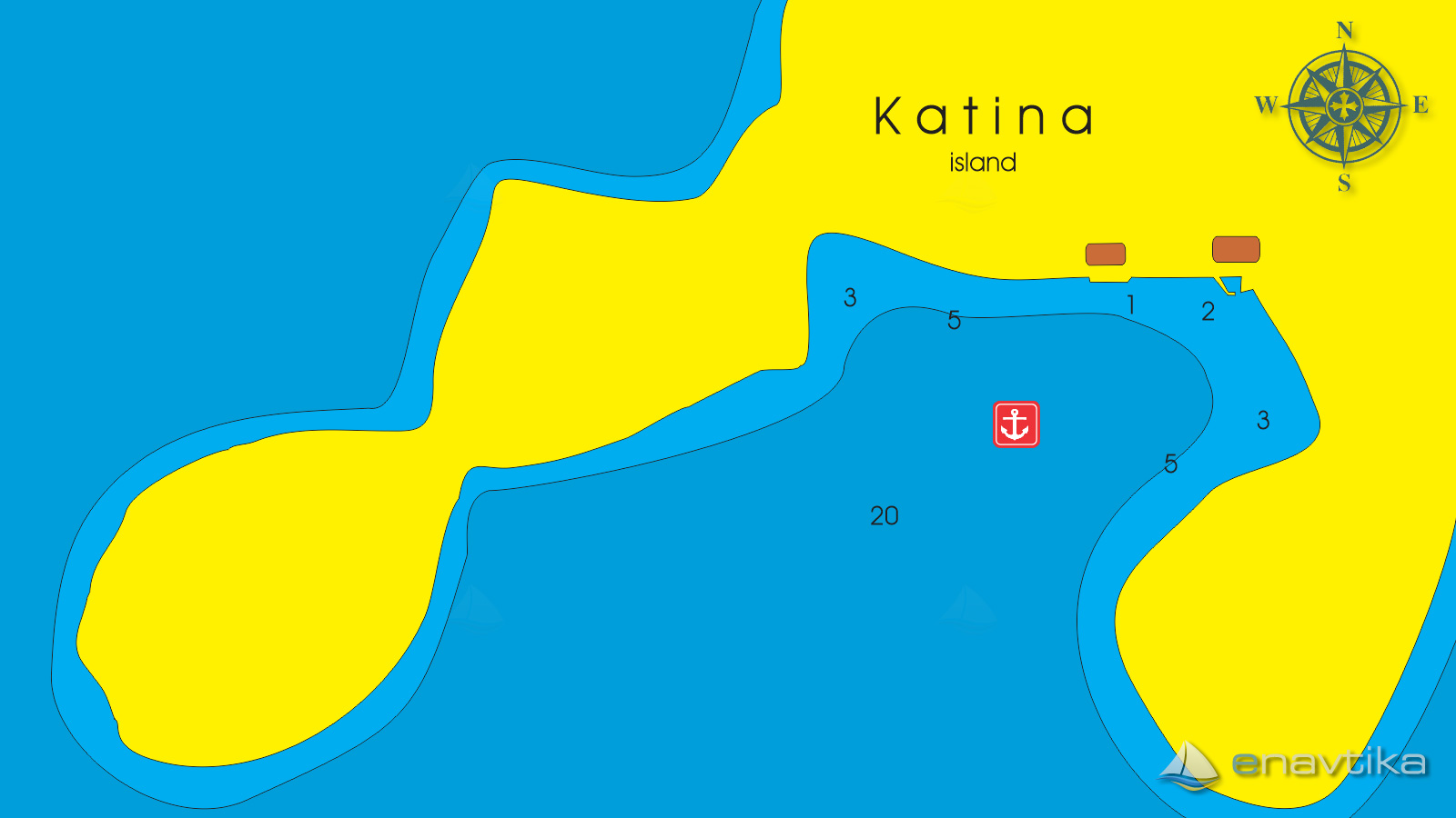
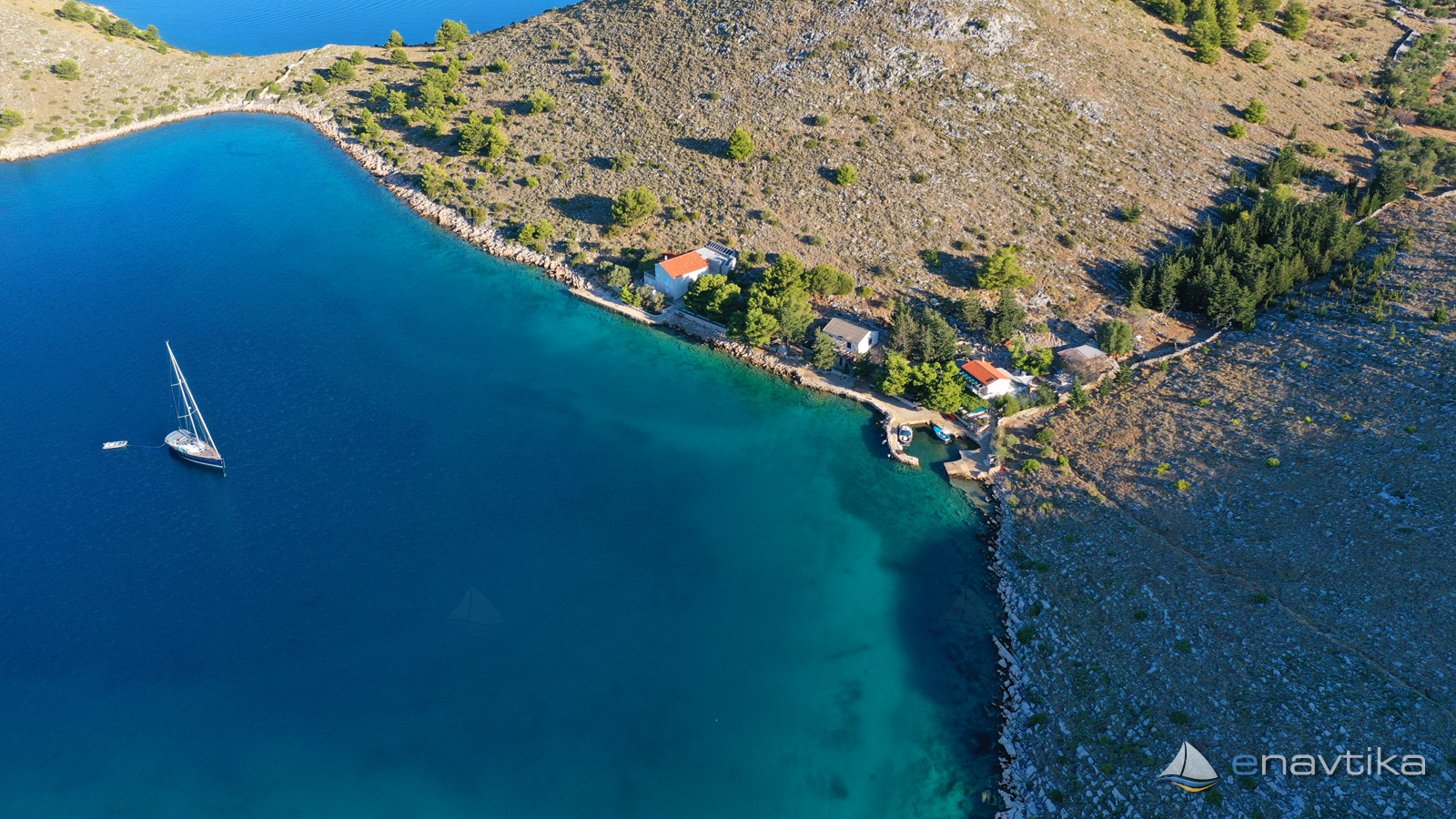
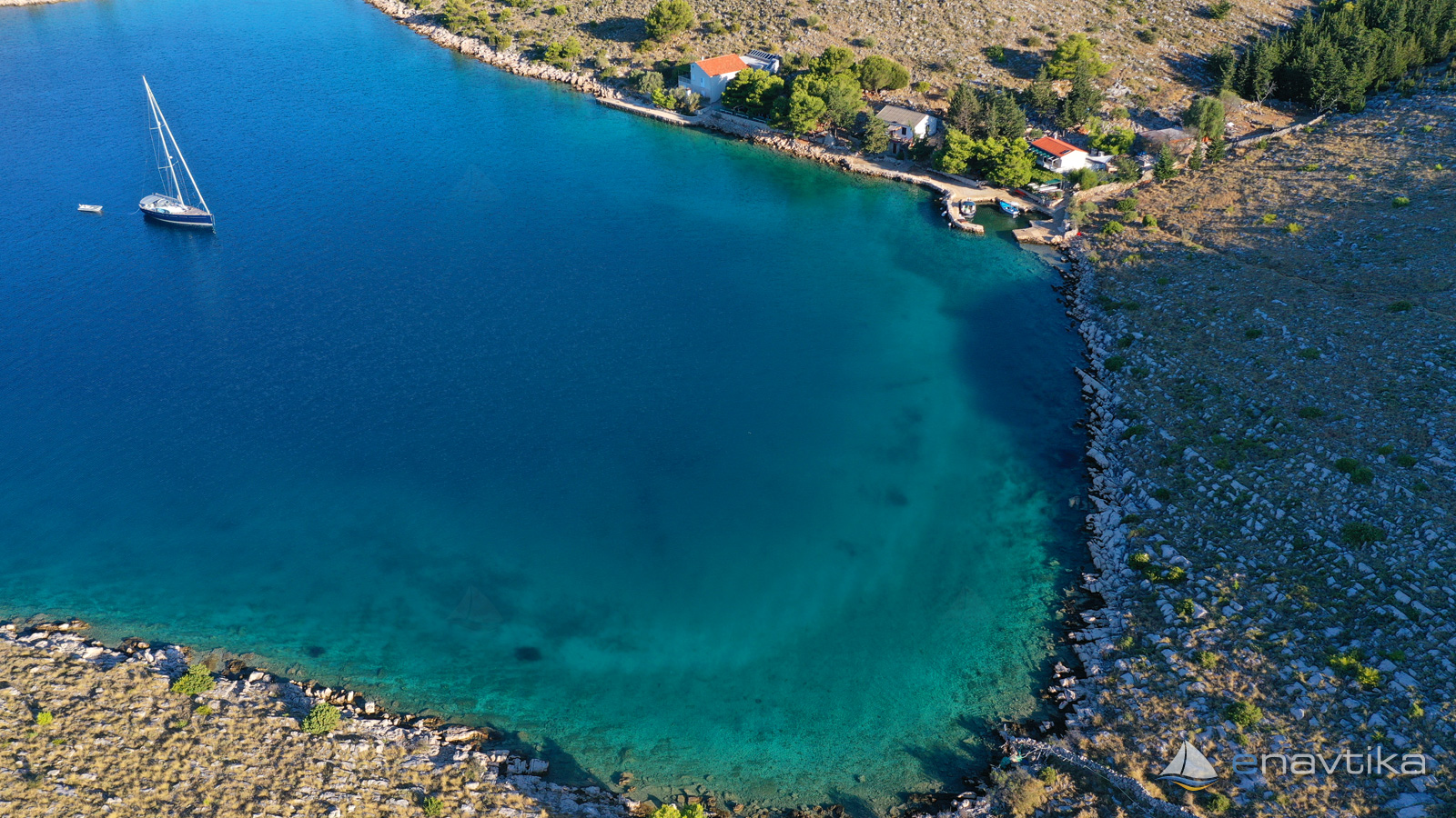
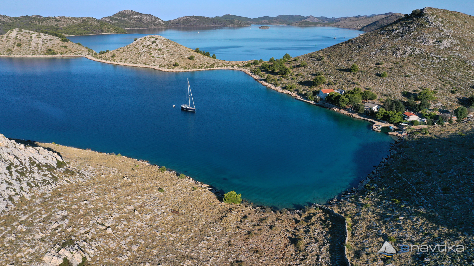
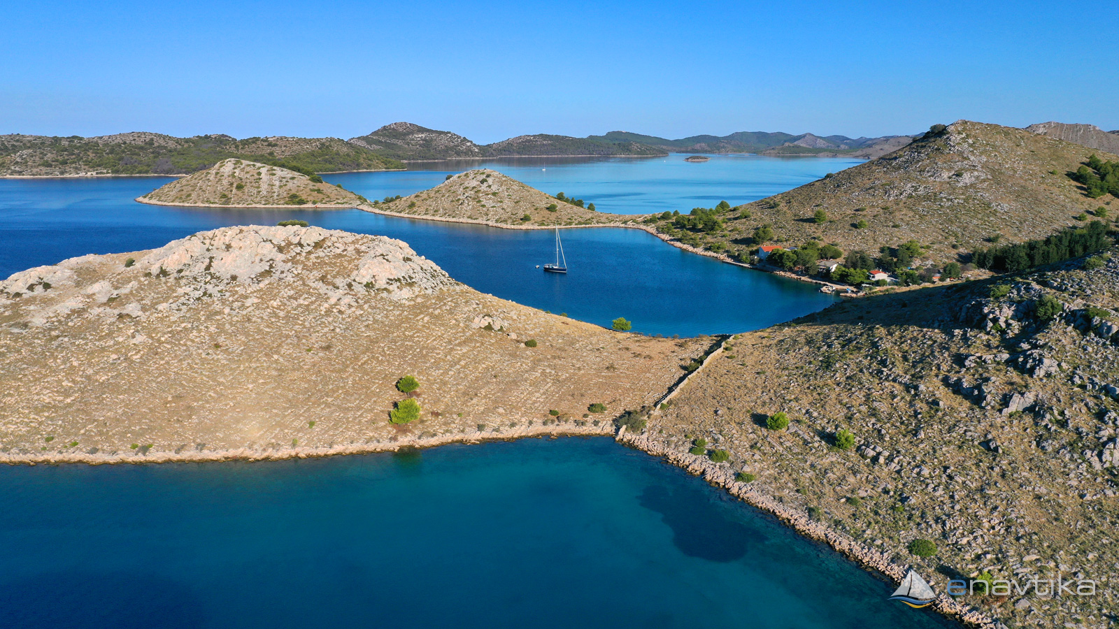
Katina
 Sidrište
Objavil(a) eNavtika
Podaci
| GPS | 43° 52' N , 15° 13' E |
| Benzinska postaja | 7 nmi Zaglav |
| Dubina vode | 3 - 10 m |
| Mjesto | otok Katina, Kornati |
| Radno vrijeme | 1.1. - 31.12. |
| Broj vezova | 0 - sidranje na lastnem sidru |
Info
Anchorage Katina is on south-west side of island Katina. It is well protected against north and east winds, but exposed to south and west winds. Water depths are between 2 and 10 m. Depth is rising quickly. There a two smaller piers in the northern side of the bay, They are suitable for docking with a tender or dinghy. There are no services provided in the bay. Nearest restaurant is in the bay just 100 m to the east. Bay is a part of natural park Telascica. Entry fee has to be paid. Entrance ticket is cheaper to buy online in advance.
Zaštita od vjetra/Vrijeme

Danas
- čv
Sutra
- čv
Petak
- čv


Komentari