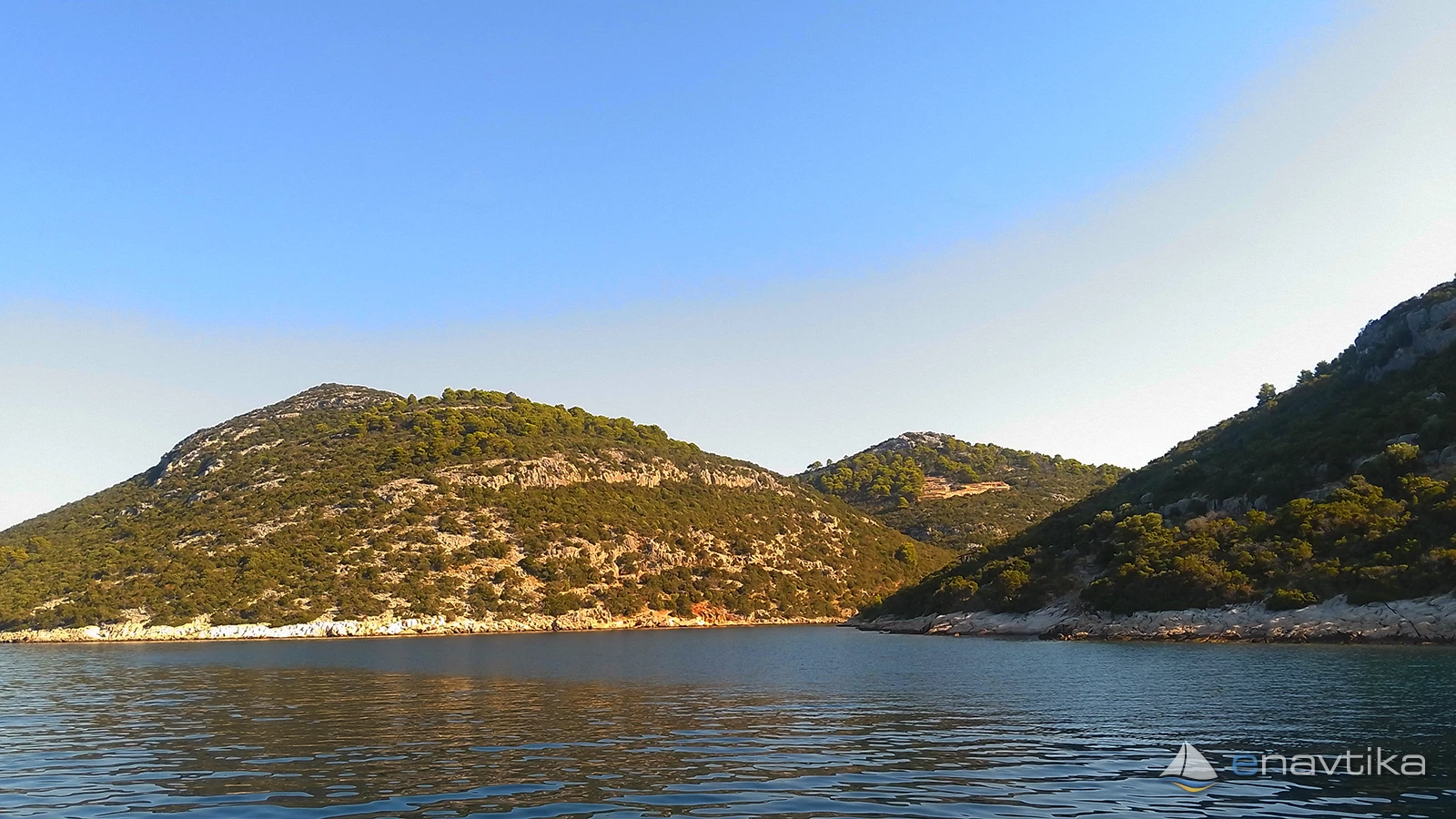
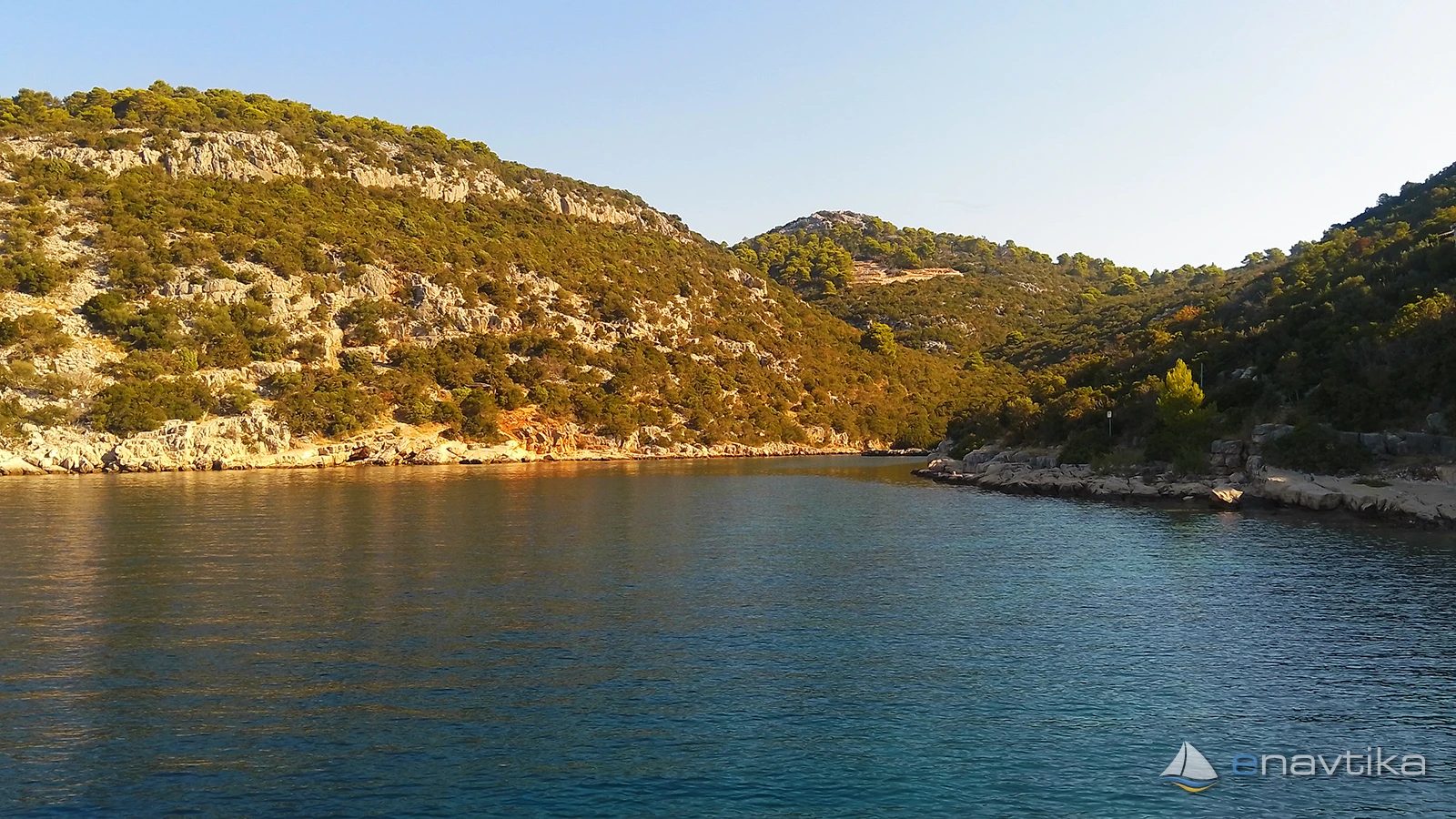
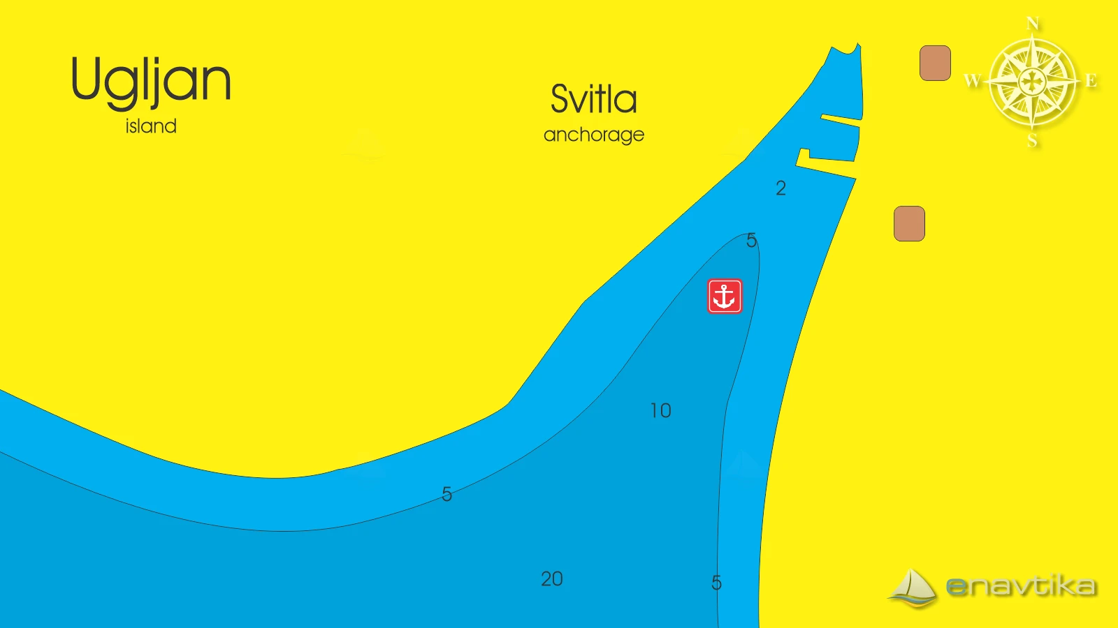
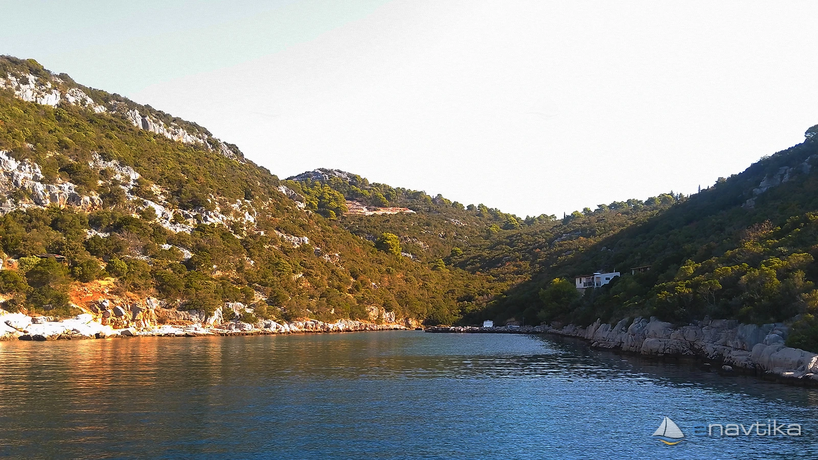
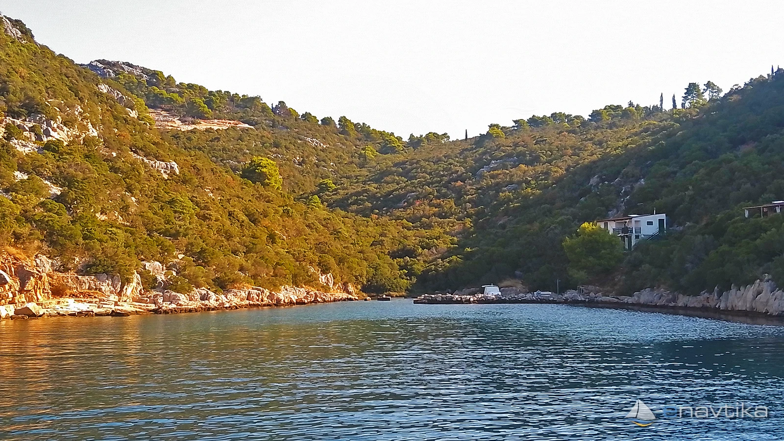
Svitla Bay is a peaceful bay located on the southwestern, wilder, and uninhabited side of the island of Ugljan (northwest of Pavlešina and Prtljug bays). Due to its untouched nature and crystal-clear sea, it is a popular destination for boaters seeking a retreat from the hustle and bustle of the city. It is well protected from northern and northeastern winds (bura) and partially from eastern and northwestern winds, as it is sheltered by the landmass of Ugljan Island. It is exposed to the southwest, making it completely unprotected from southern and southwestern winds (jugo, lebič), which bring high waves into the bay. In the event of a jugo forecast, anchoring in the bay is not safe. The sea depth in the central part of the bay ranges between 5 and 12 meters, gradually decreasing towards the shore (down to 2 meters at the very head of the bay). The seabed in the central part is predominantly sandy, overgrown with seagrass in places, while becoming rocky along the edges. Due to the sandy bottom in the middle of the bay, the anchor holds very well. Anchoring on your own anchor is permitted. Since the bay is not very large, it is advisable to anchor in the middle at a depth of around 5–8 meters and, if necessary, tie a stern line to the shore to reduce the vessel's swinging. There are no organized piers, breakwaters, or mooring buoys in the bay. Mooring larger vessels alongside the shore is not possible due to shallows and the rocky coastline. However, it is possible to land with smaller dinghies (tenders) on the pebble beach at the end of the bay. No concession has been granted for Svitla Bay, so anchoring on your own anchor and overnight stays are free of charge. The bay is completely natural and offers no tourist or dining amenities, nor are there any shops, water, or electricity. The nearest settlements with restaurants and shops are on the eastern coast of the island (e.g., Kali, Preko, or Kukljica), which are about a 20 to 30-minute walk away along dirt tracks. The nearest fuel station for vessels is in Preko (approximately 4–5 nautical miles away around the northern or southern cape of the island).


 Sidrište

 Japlenički
Ribogojilište
1.11 nmi
 Lamjana Vela W
Svjetionik
1.48 nmi
 Preko
Luka
1.52 nmi

Komentari