
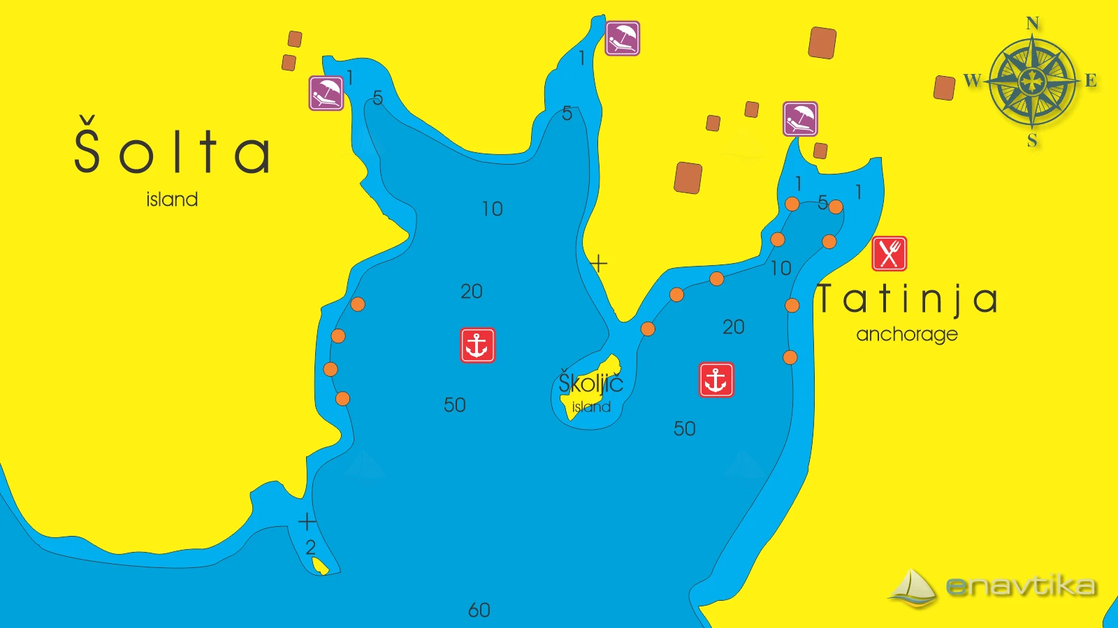
Tatinja
Šolta
 Sidrište
Podaci
| GPS | 43° 22' N , 16° 17' E |
| Benzinska postaja | 9 nmi Milna (Brač), 10 nmi Rogač (Šolta) |
| Dubina vode | 2 - 15 m |
| Mjesto | Šolta |
| Radno vrijeme | 1.1. - 31.12. |
| Broj vezova | 35 mooring buoy |
Info
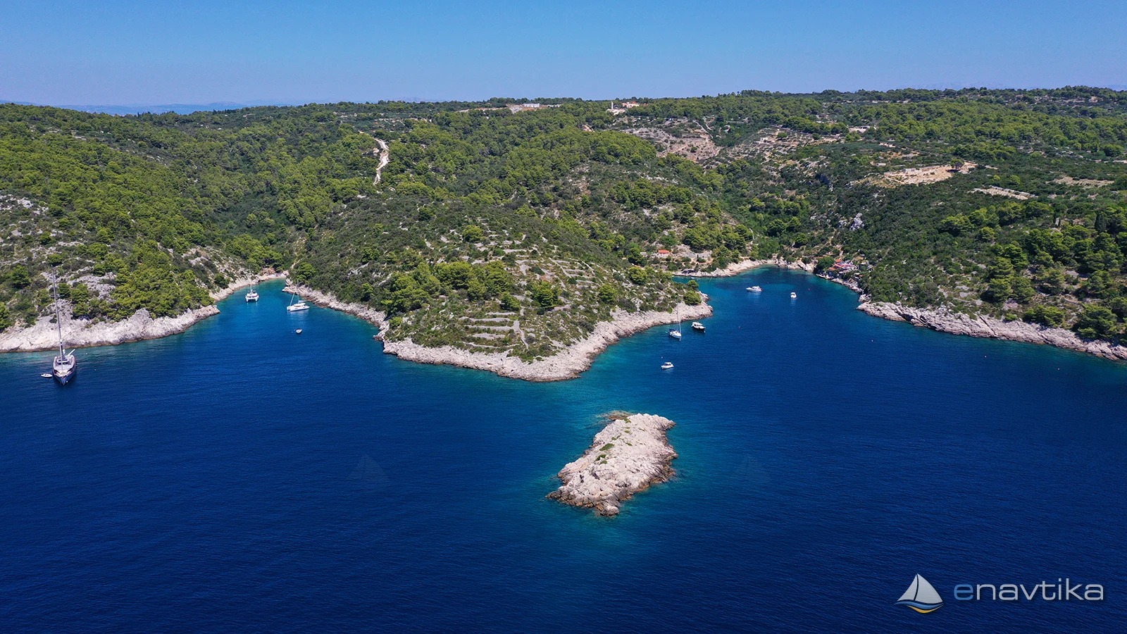
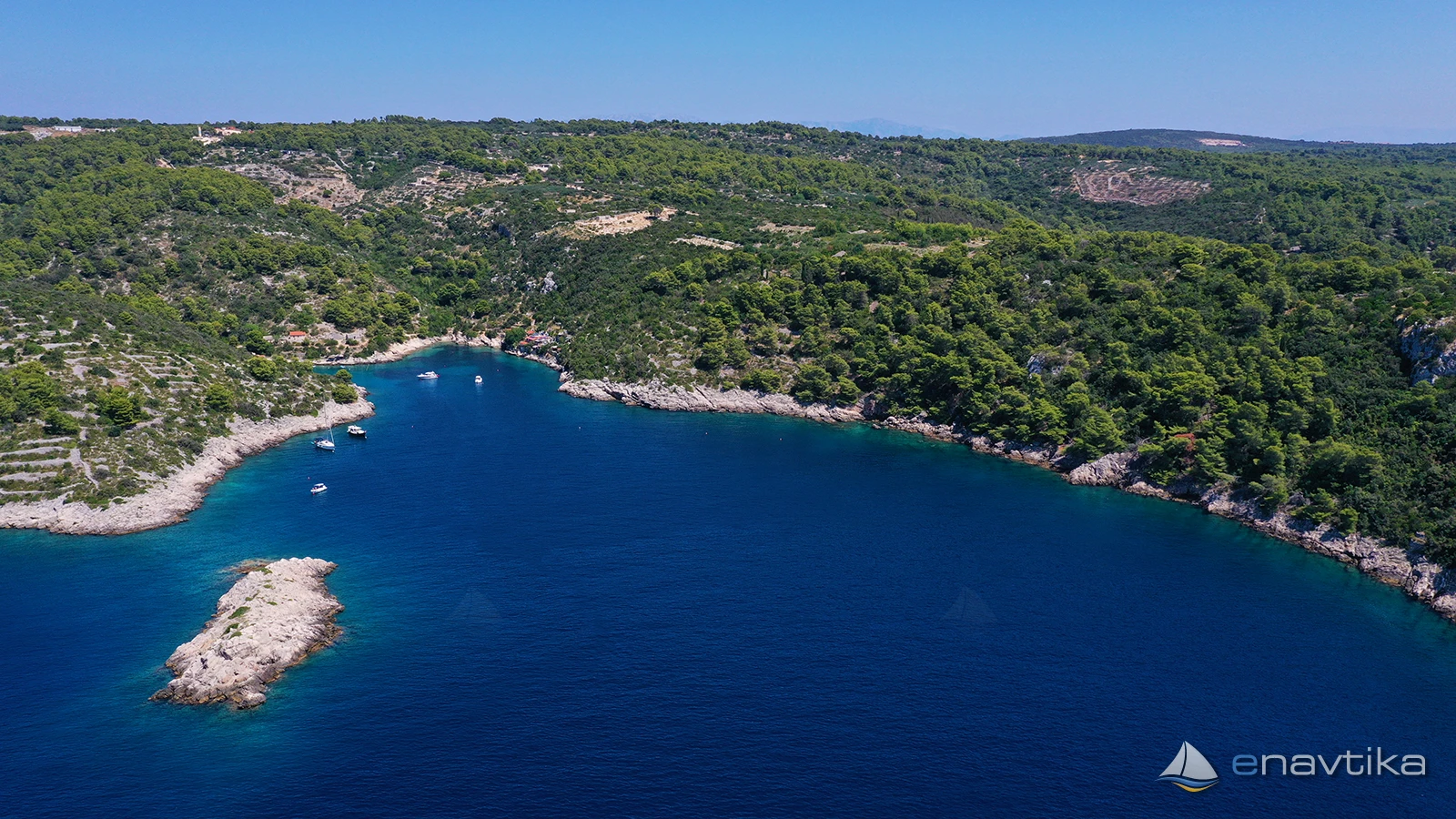
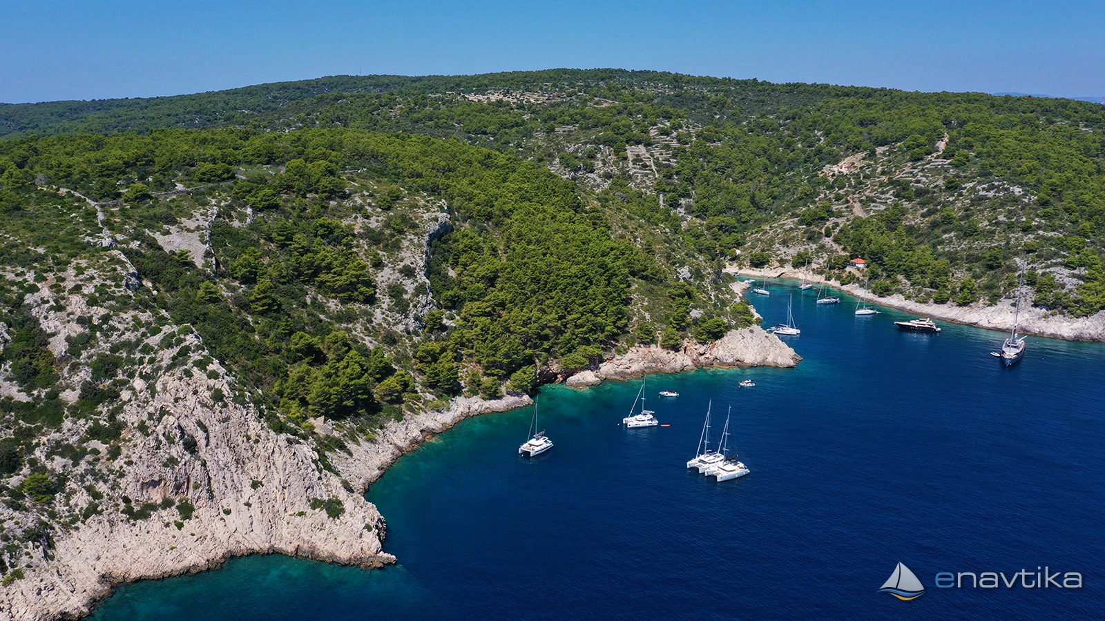
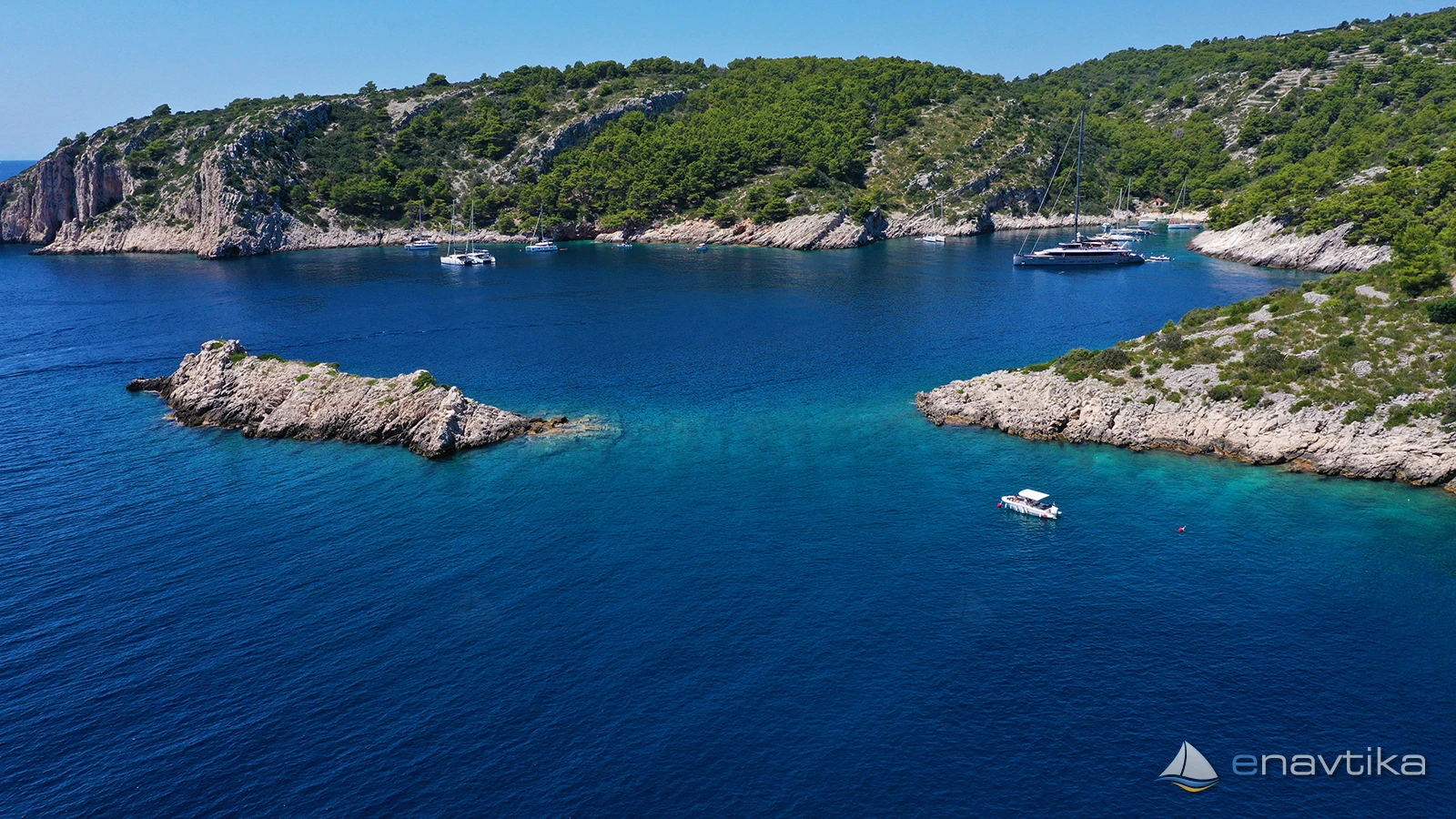
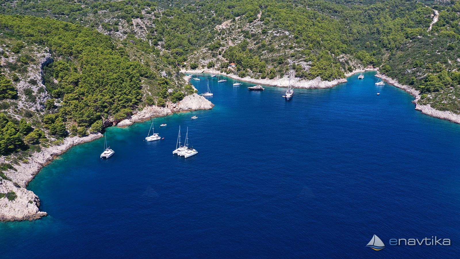
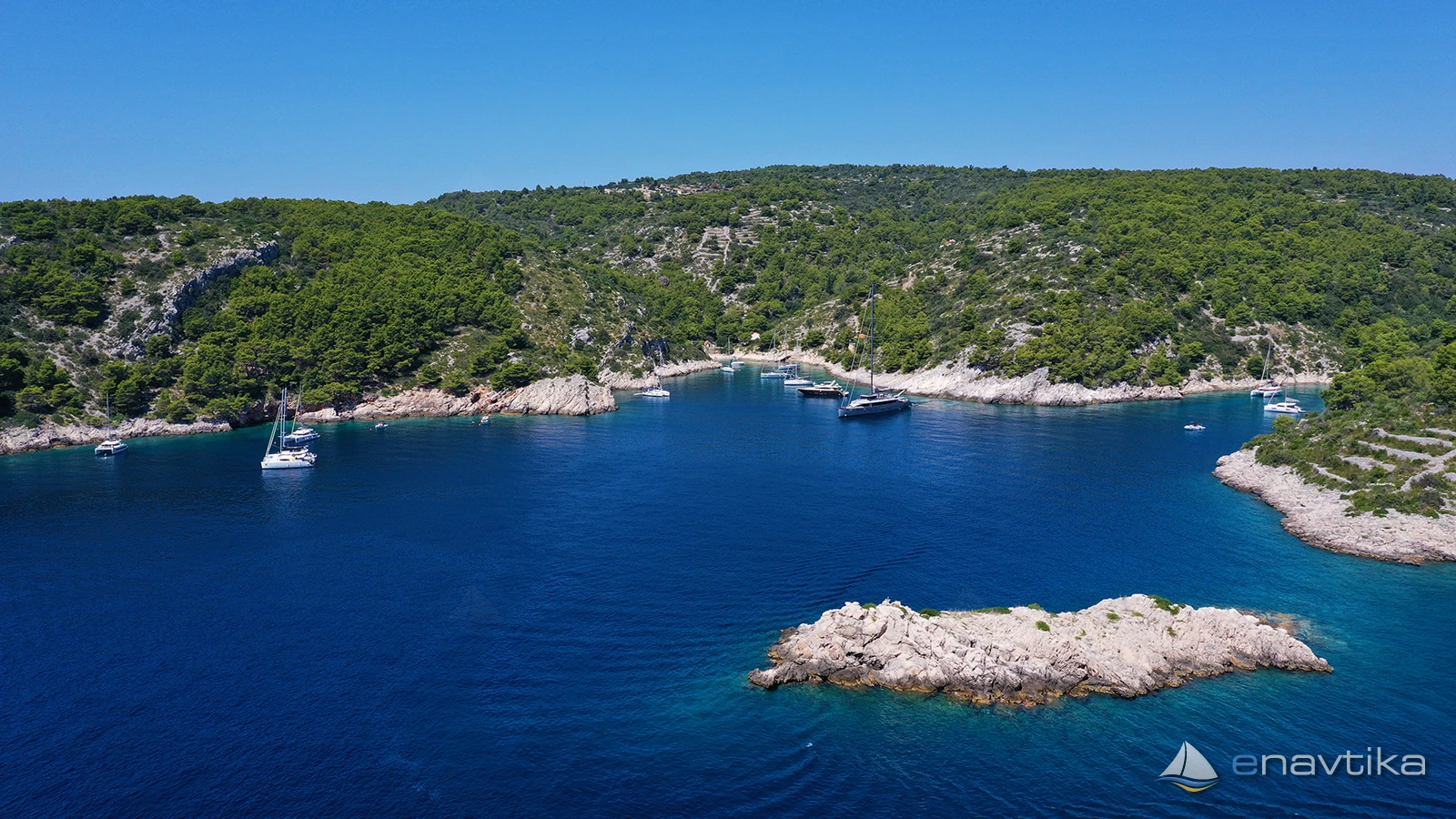
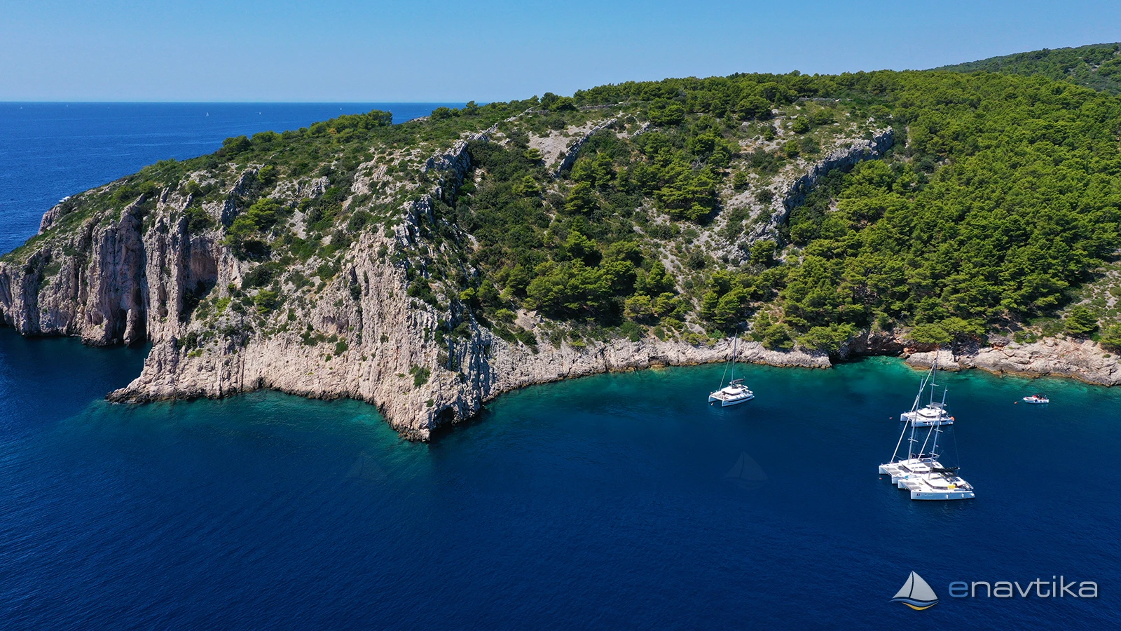
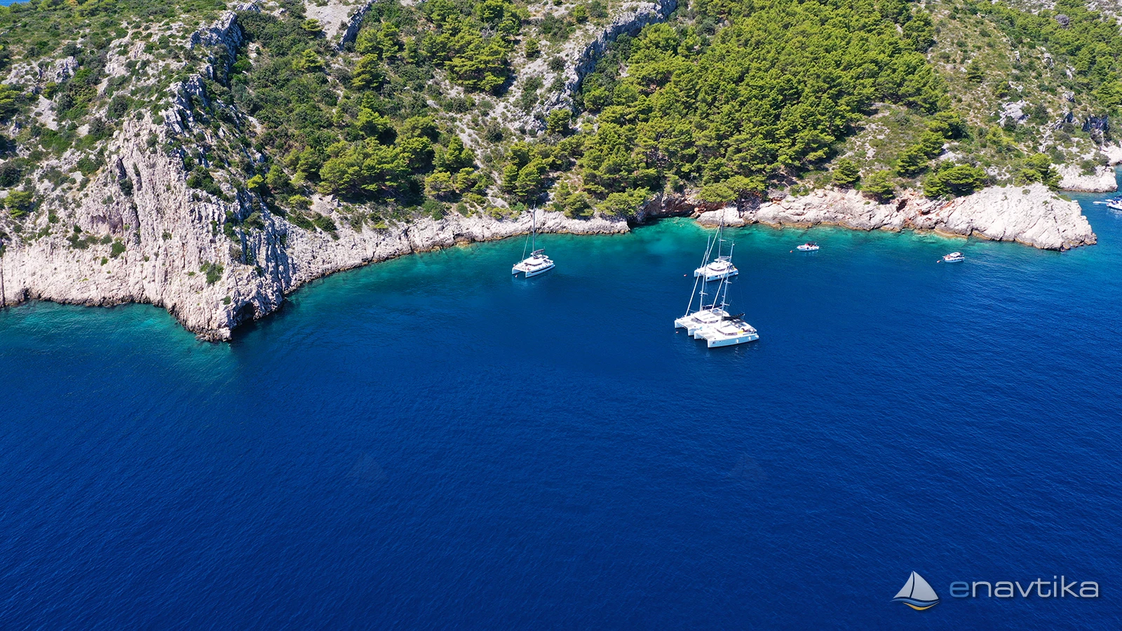
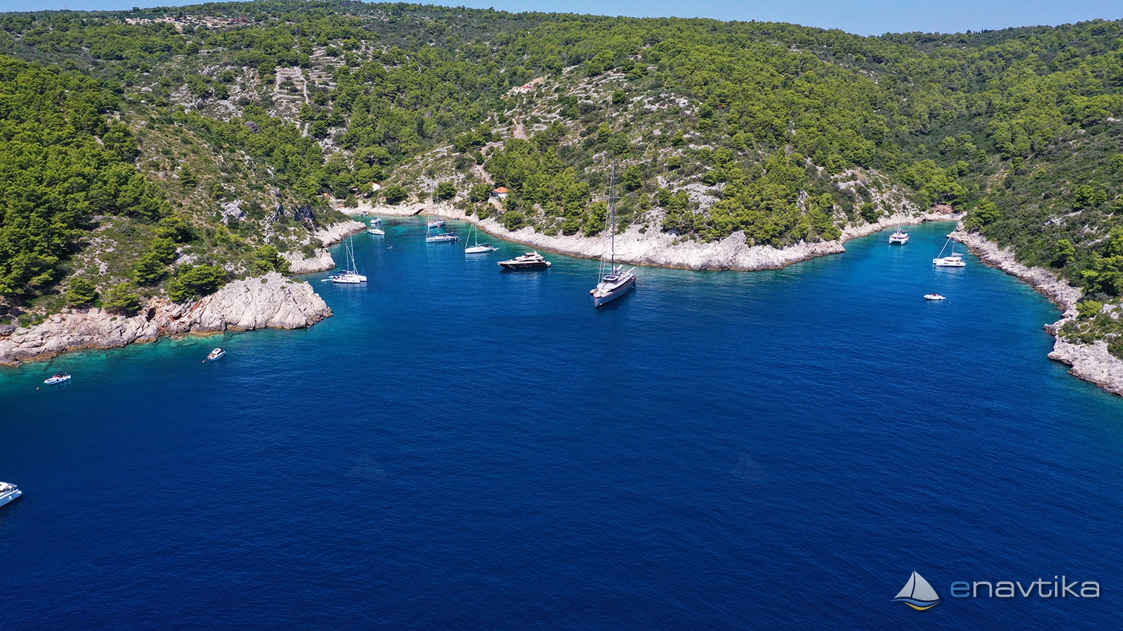
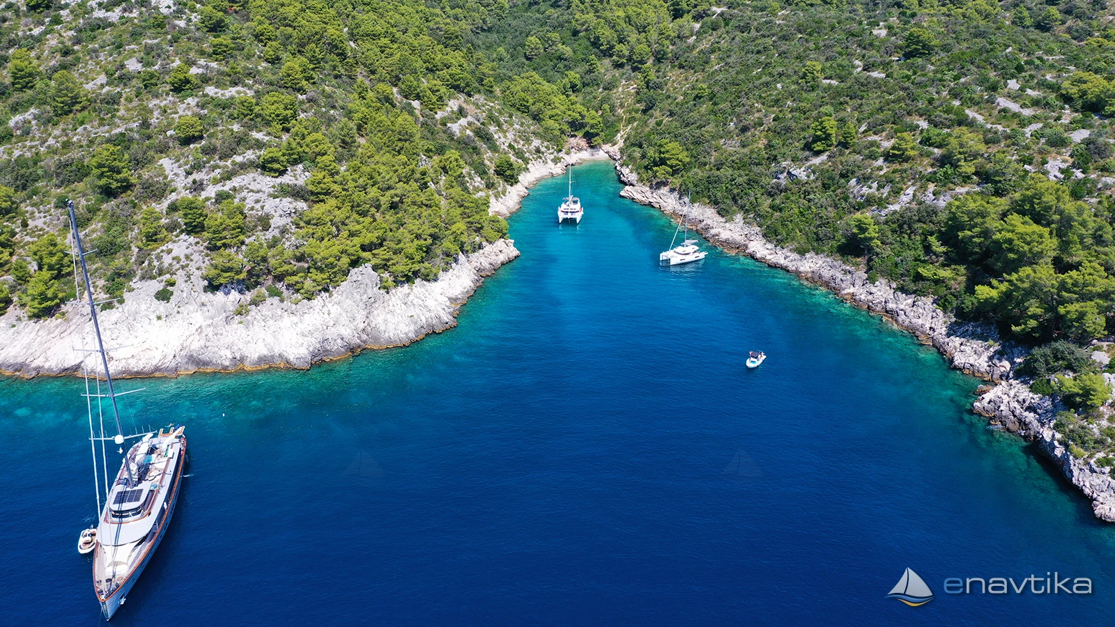
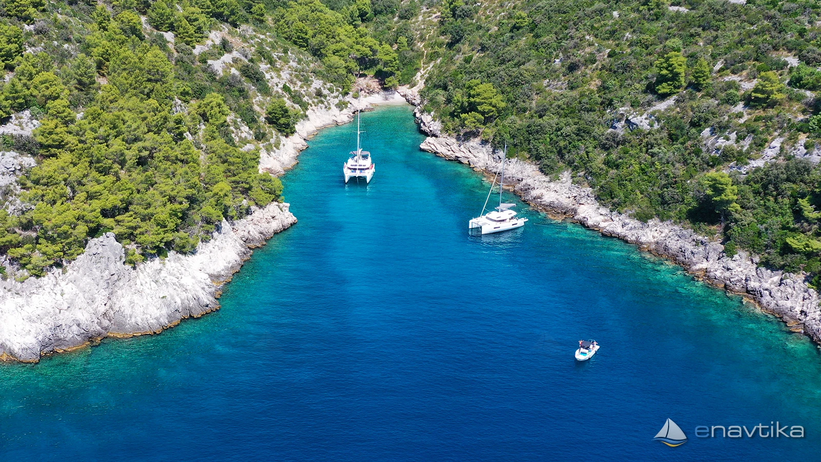
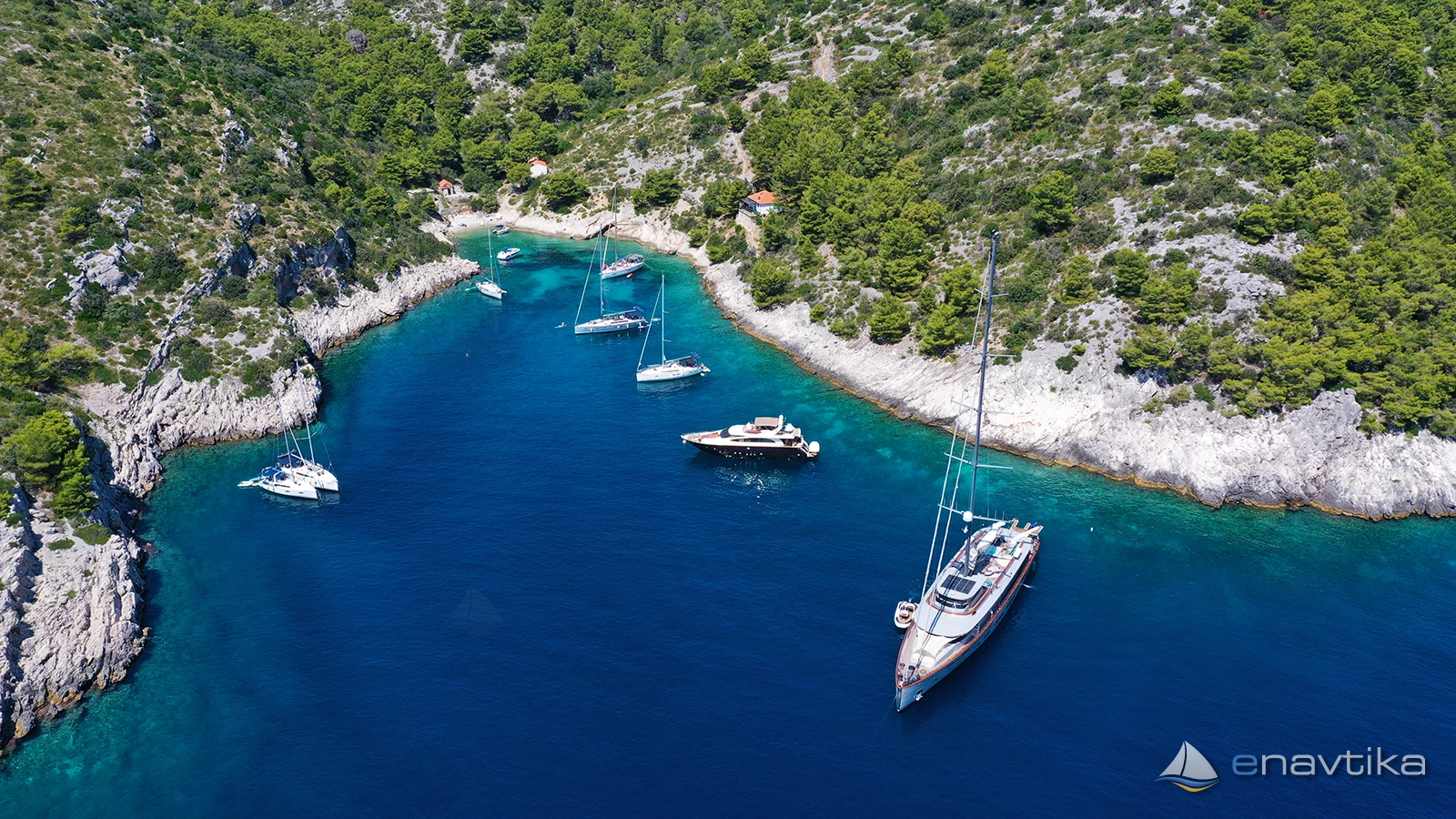
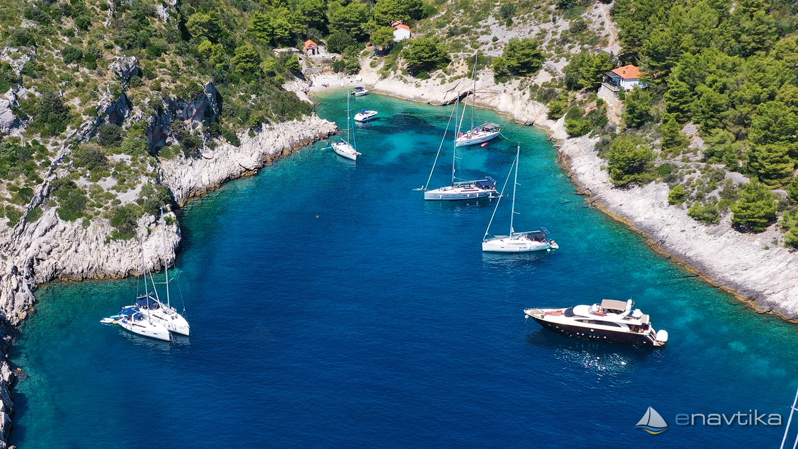
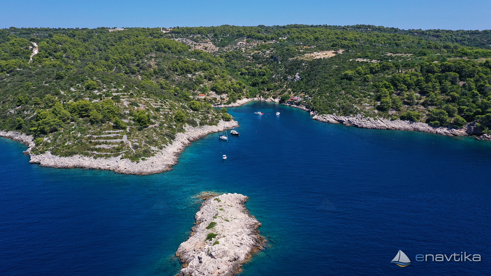
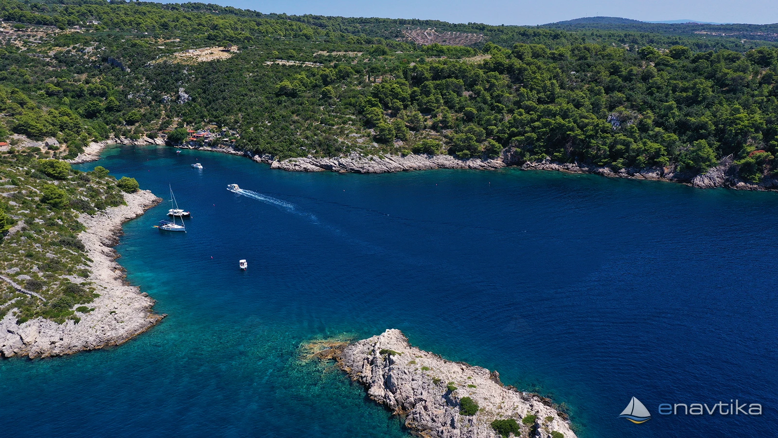
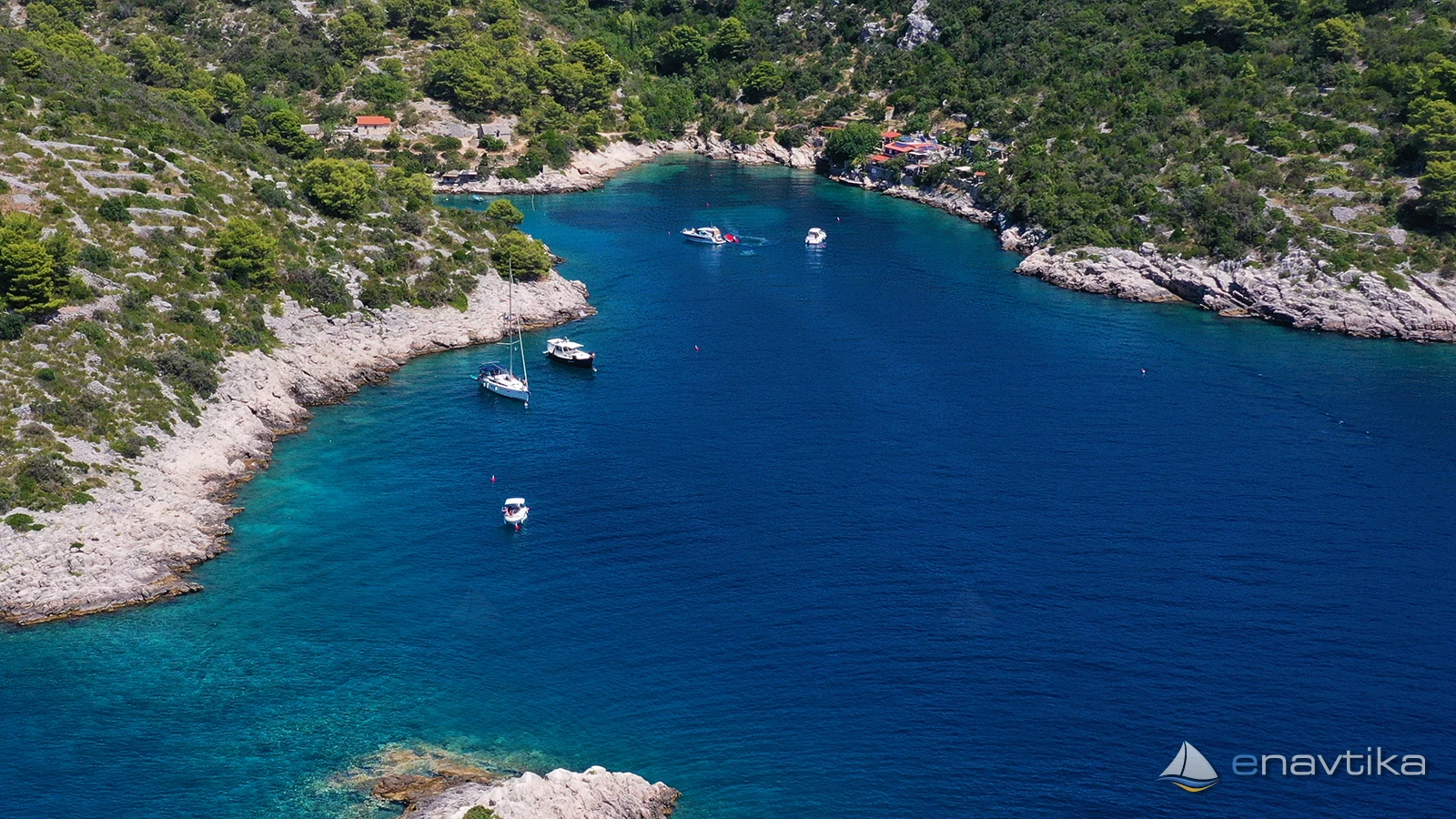
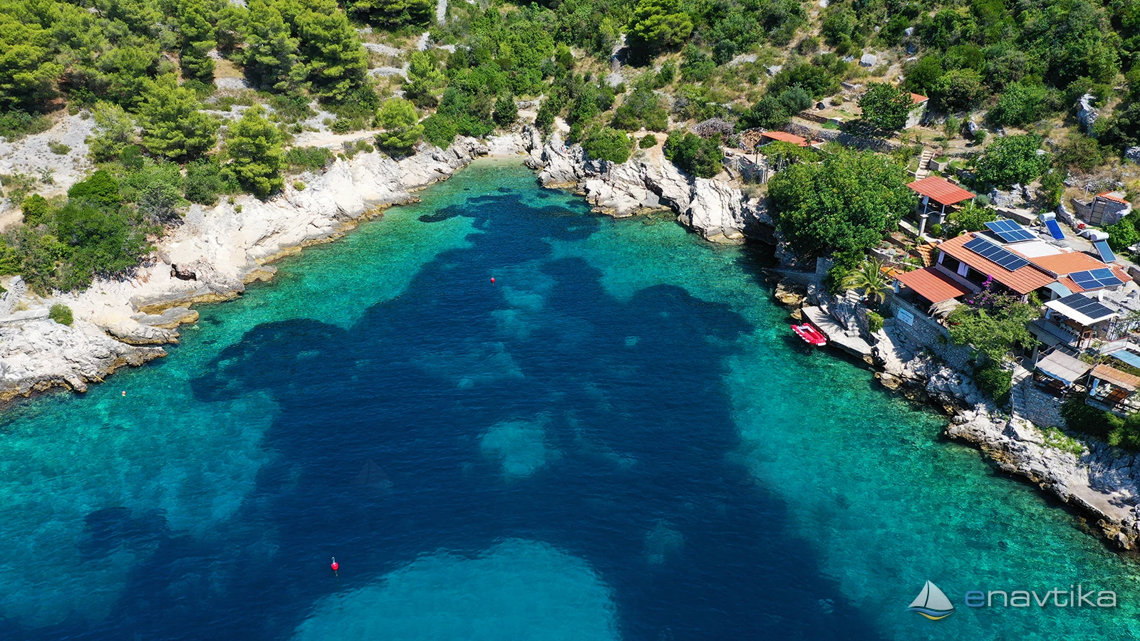
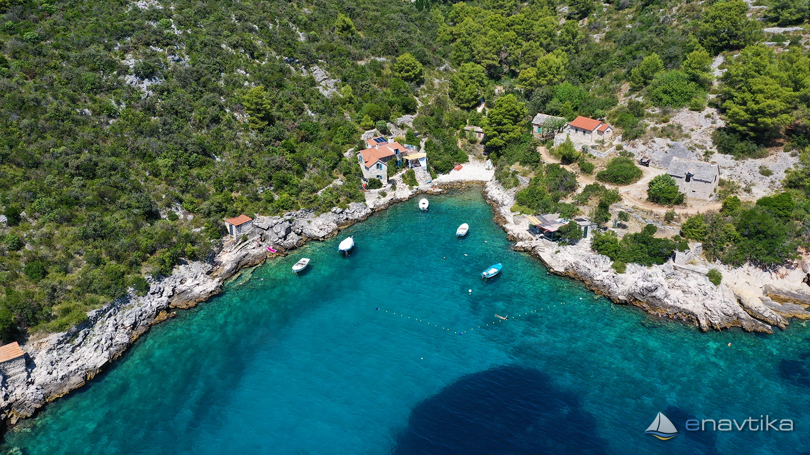
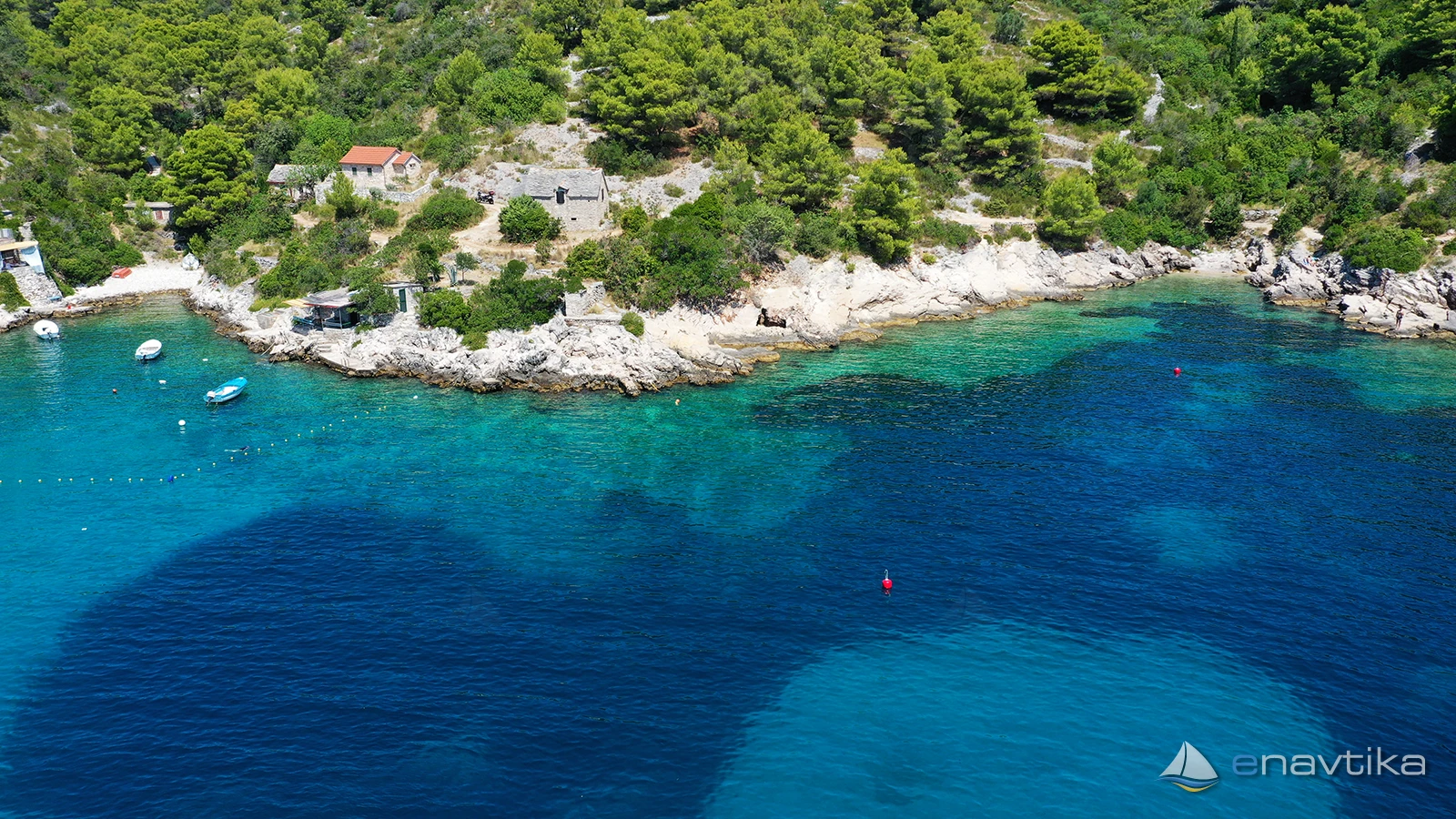
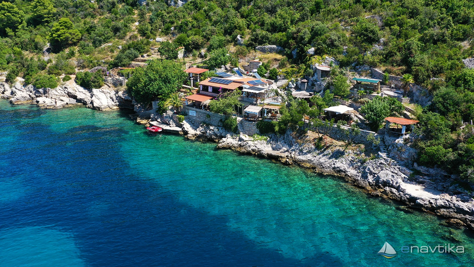
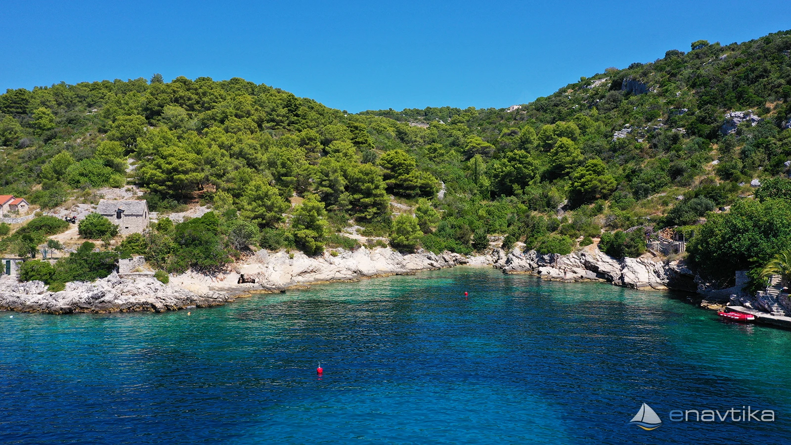
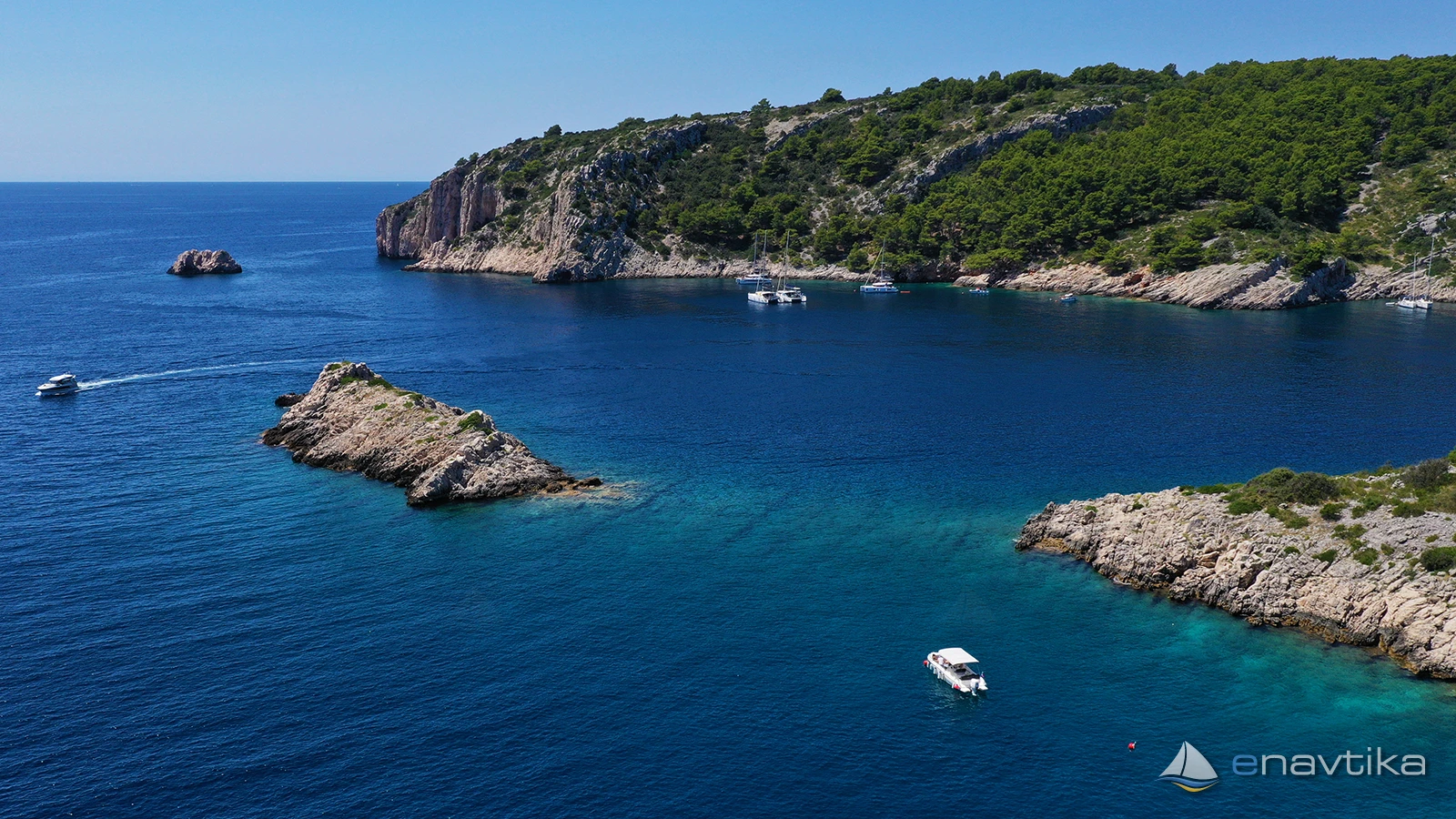
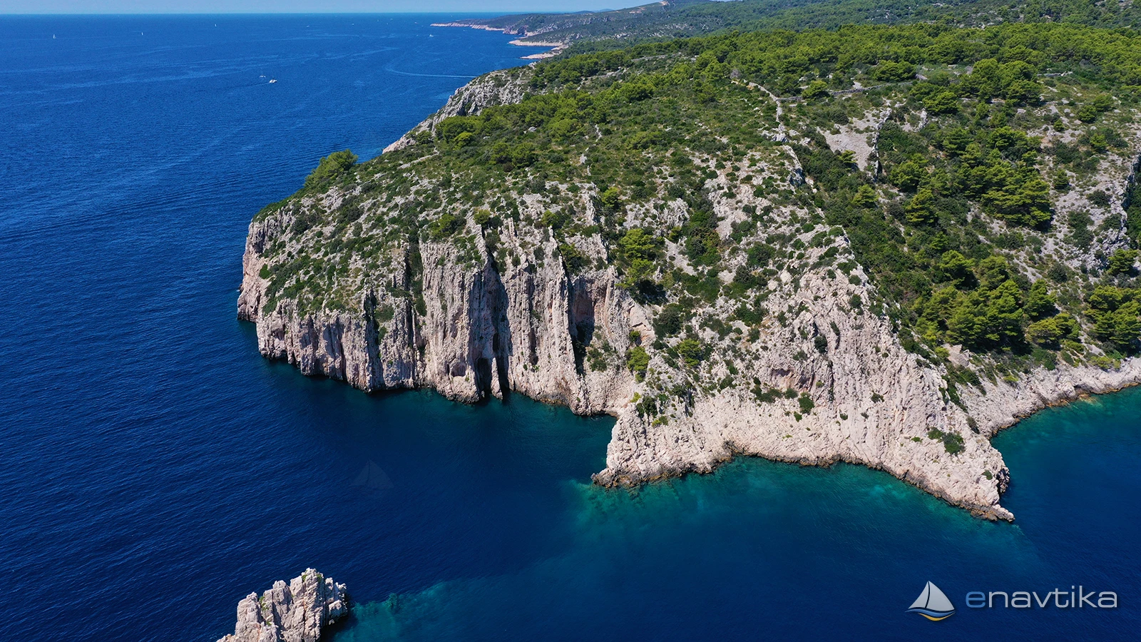
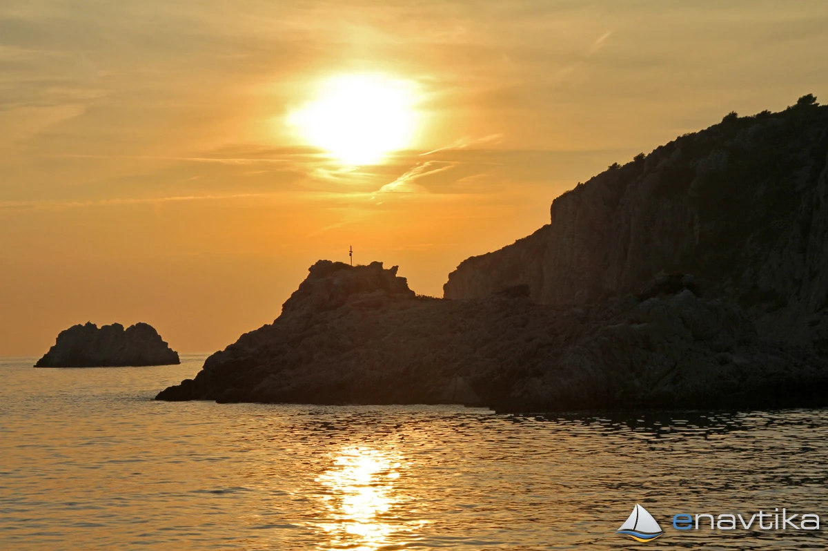
Tatinja anchorage is on the south side of the island of Šolta. The bay has three arms where you can anchor at depths between 2 and 15m. The bottom is sandy, in some places overgrown with grass. The anchor holds well. The bay is well protected from all winds except southerly ones. When sailing into the bay, you must be careful of the shallows. If you are sailing from the southwest or west, you must be careful of the large rock that protrudes from the water approximately 100m from the western cape of the bay. The depth of the sea between the rock and the cape is up to 2m, but sailing between them is not recommended. When sailing from the east, you must be careful of the shallows at the southeastern cape of the bay, which is approximately 50m south of the cape. The depth of the sea is only 2m. When entering the bay, you must be careful of the island of Školjič in the middle of the bay. The depth of the sea between the island in the north and the island of Šolta is from 2 to 5 m, and there are several rocks in between. Sailing north of the island of Školjič is not recommended. There is a tavern in the far northeastern part of the bay. A concession has been granted for the bay. Mooring to a buoy or anchoring is subject to payment. The nearest shop is in Maslinica on the western side of the island, and the nearest gas station is in Milna on the island of Brač, which is 9 nmi away.
Zaštita od vjetra/Vrijeme

Danas
- čv
Sutra
- čv
Petak
- čv
U blizini
Zaštićeno
- Mala Maslinica Sidrište 1.44 nmi
- Piškera Sidrište 1.44 nmi
- Podkamenica Sidrište 1.59 nmi


Komentari