

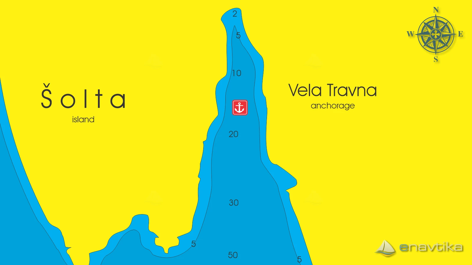
Vela Travna
Šolta
 Sidrište
Podaci
| GPS | 43° 20' N , 16° 22' E |
| Benzinska postaja | 4 nmi Milna otok Brač |
| Dubina vode | 2 - 10 m |
| Mjesto | Šolta |
| Radno vrijeme | 1.1. - 31.12. |
| Broj vezova | 0 (sidranje na lastnem sidru) |
Info
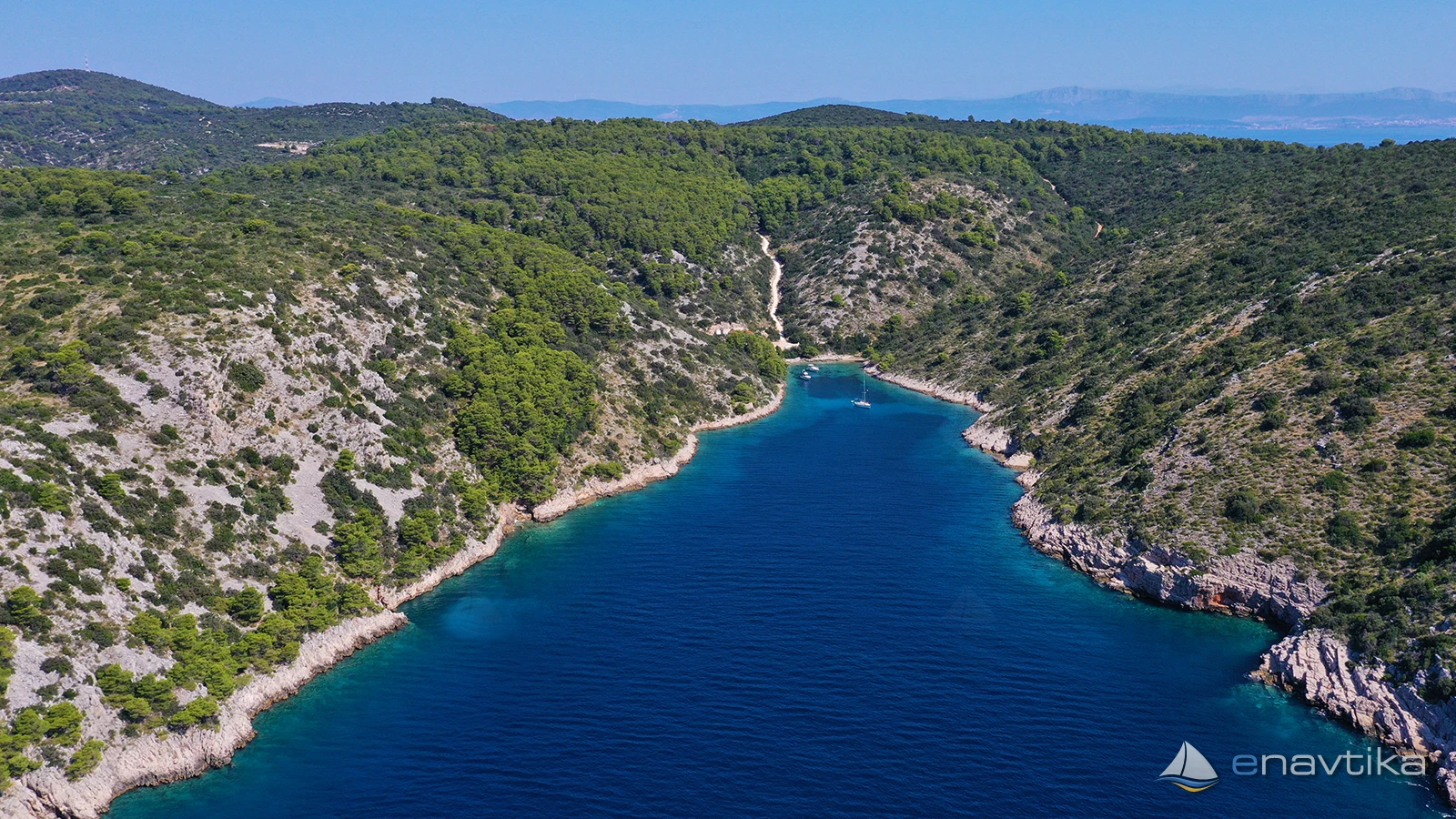
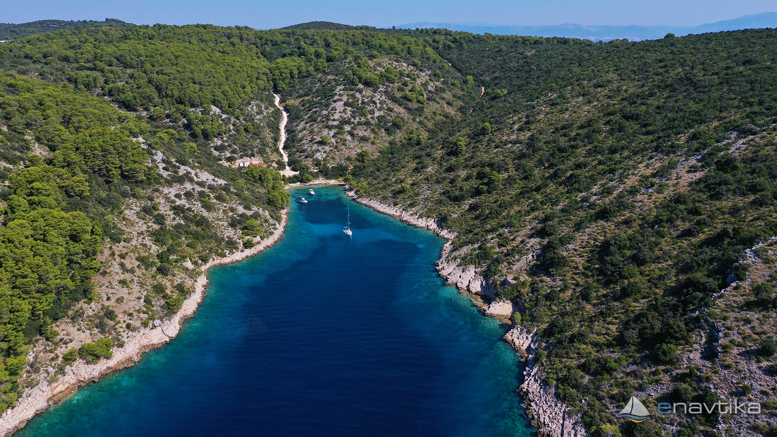
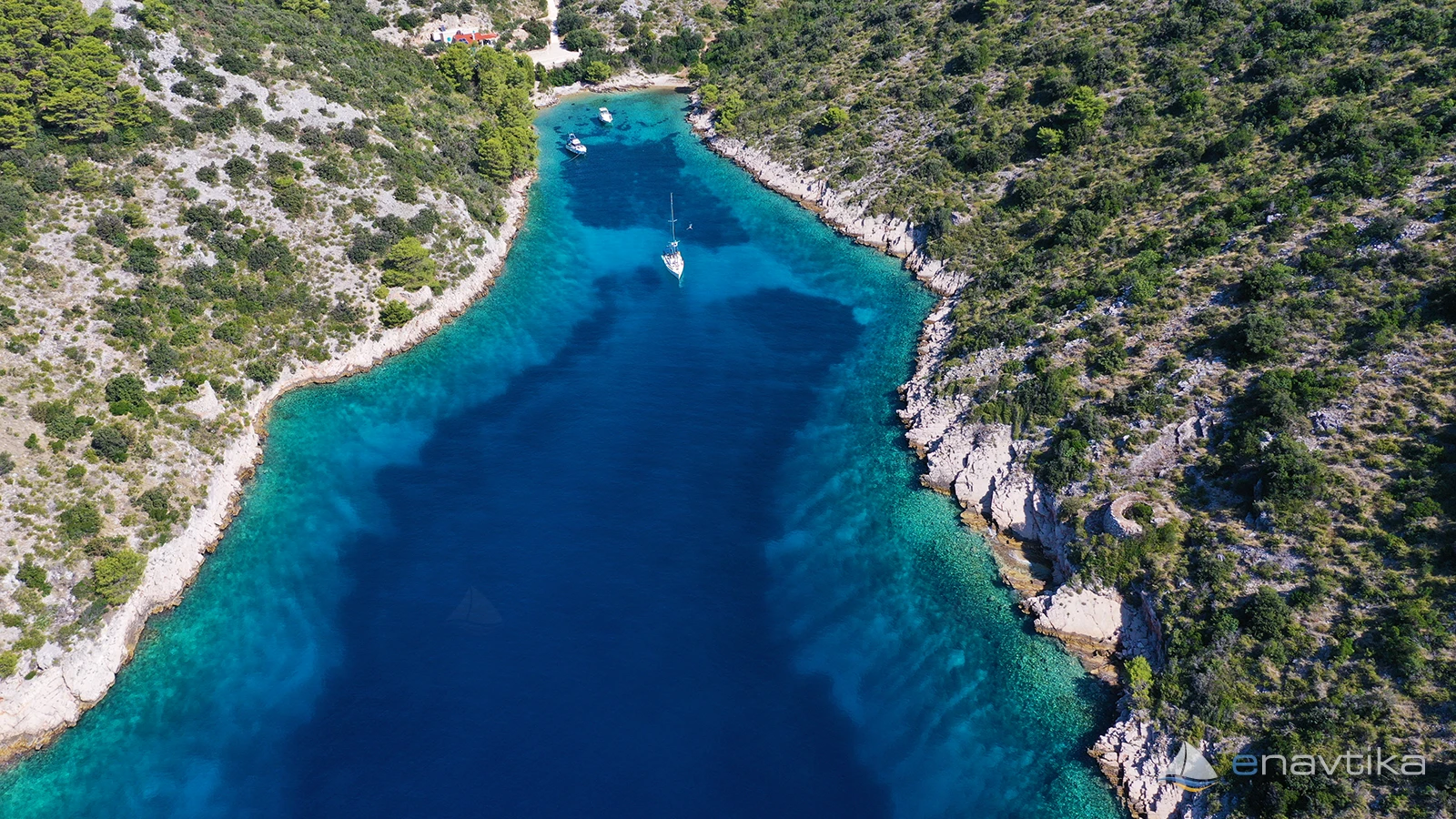
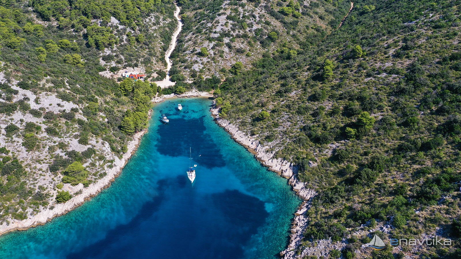
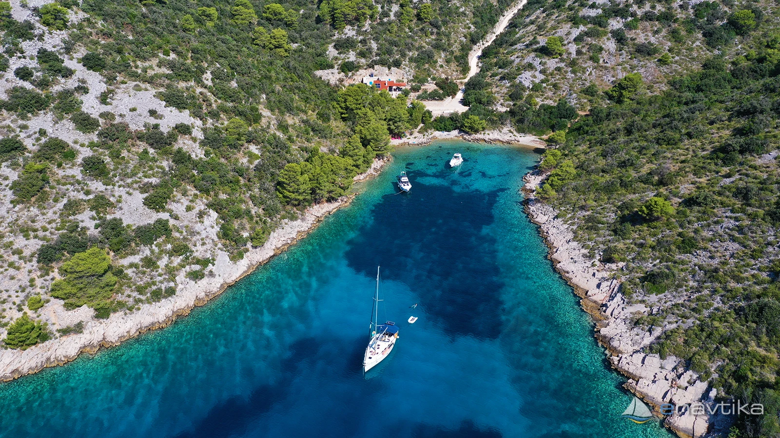
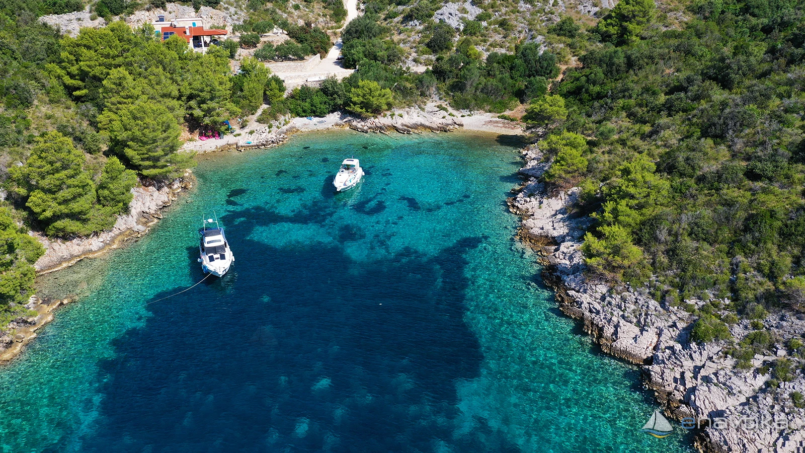
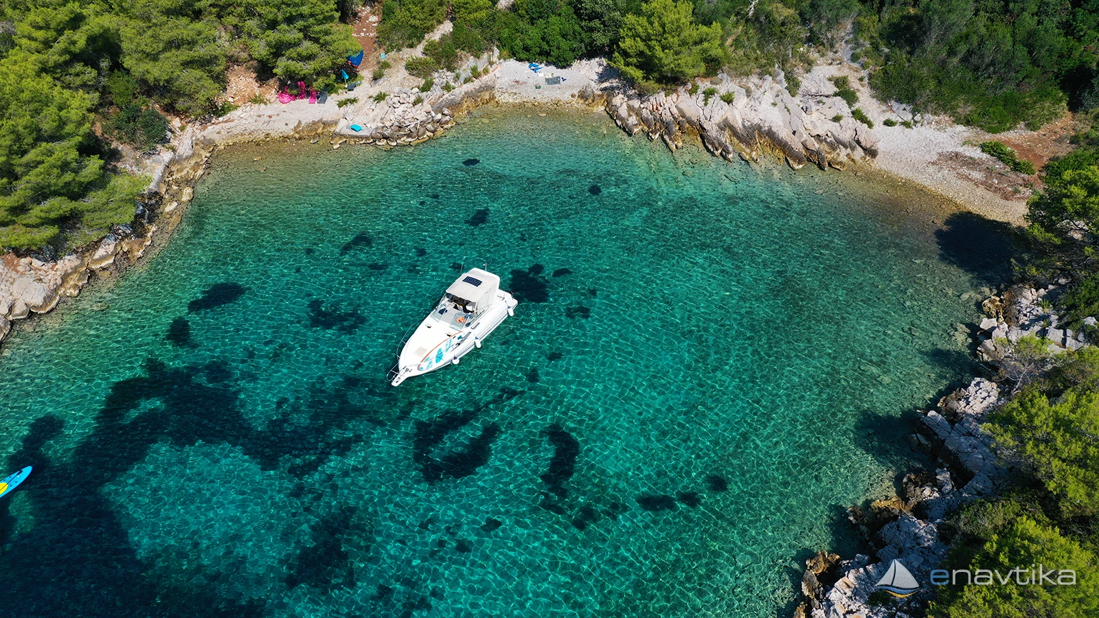
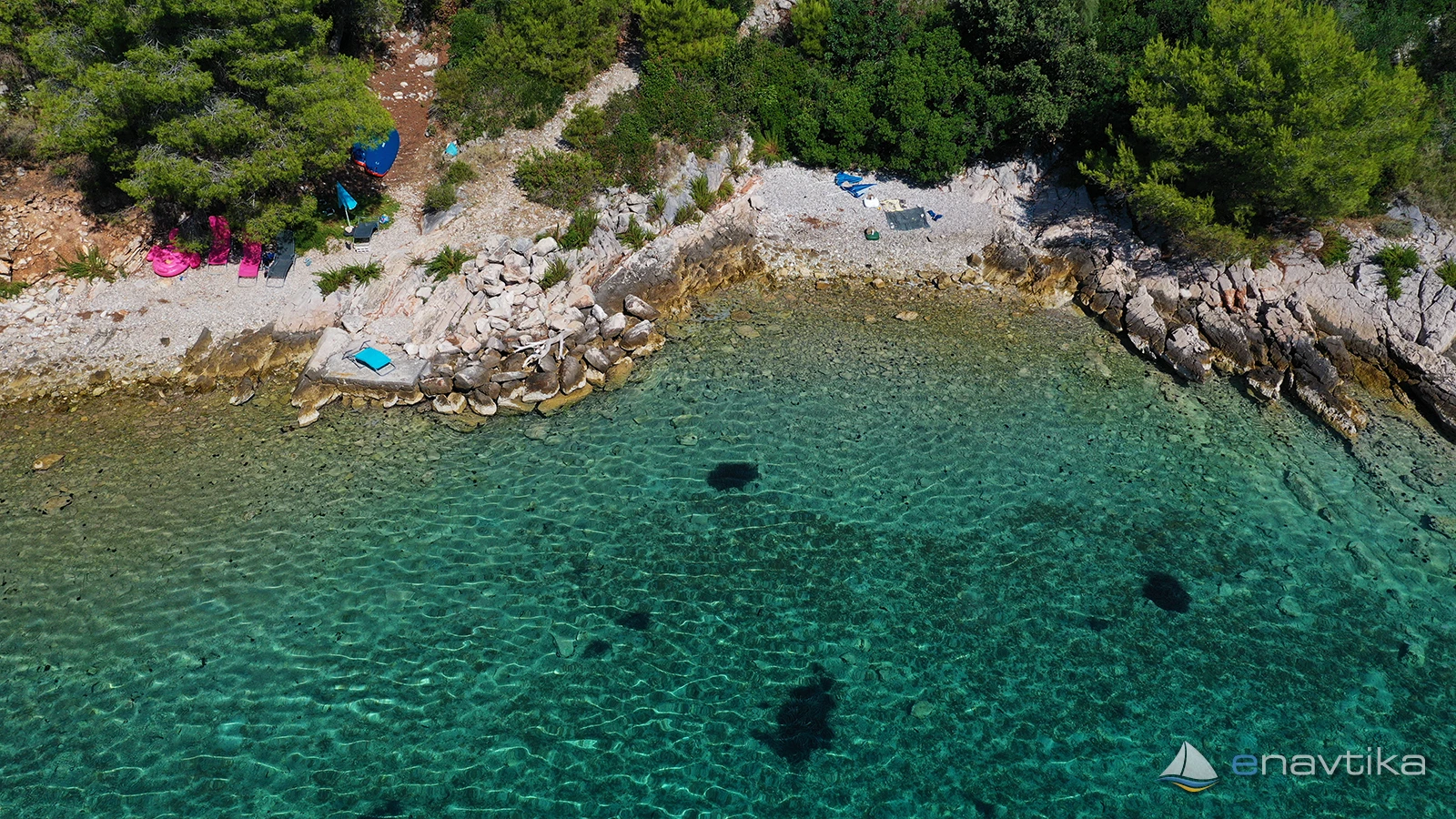
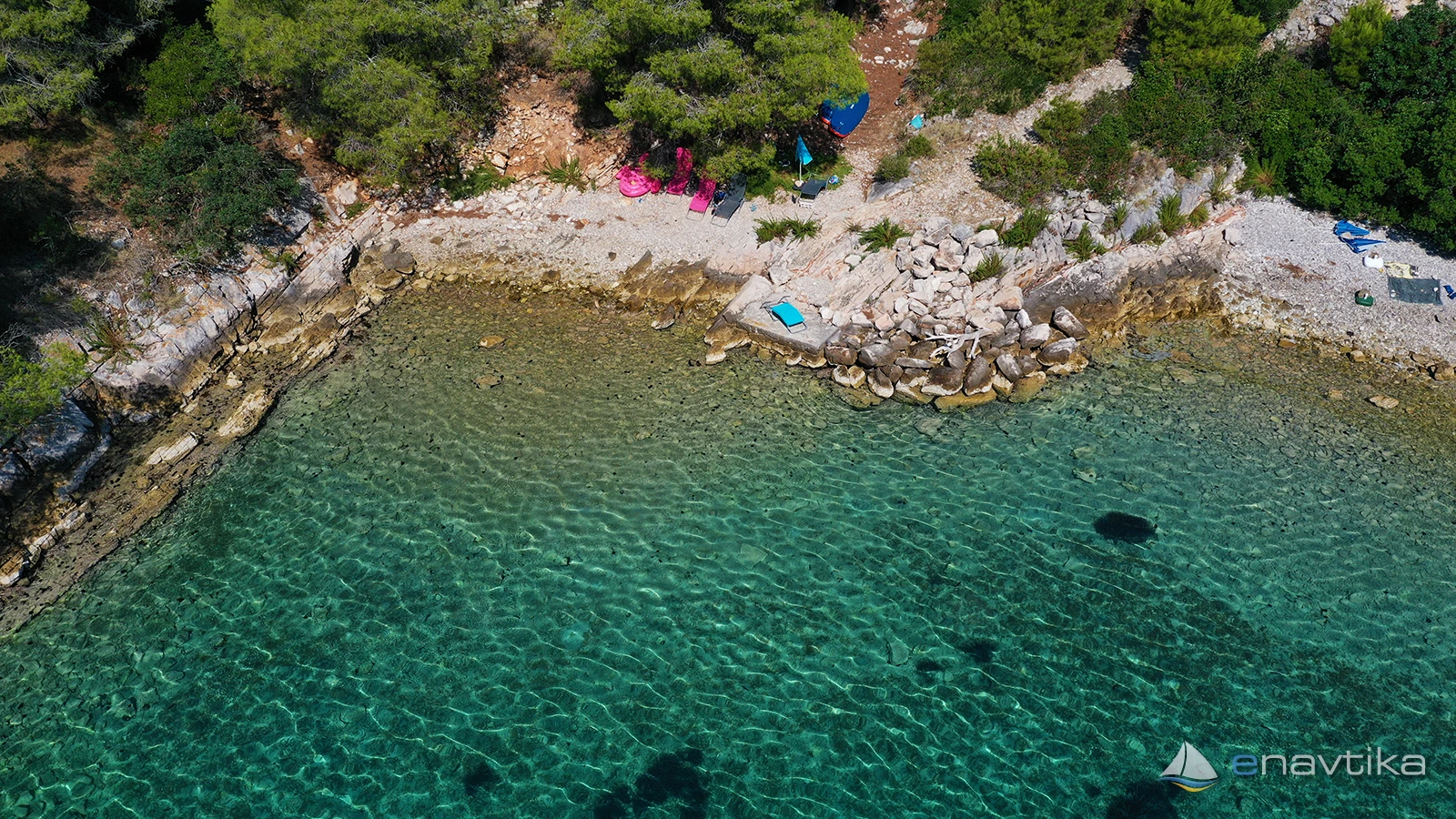
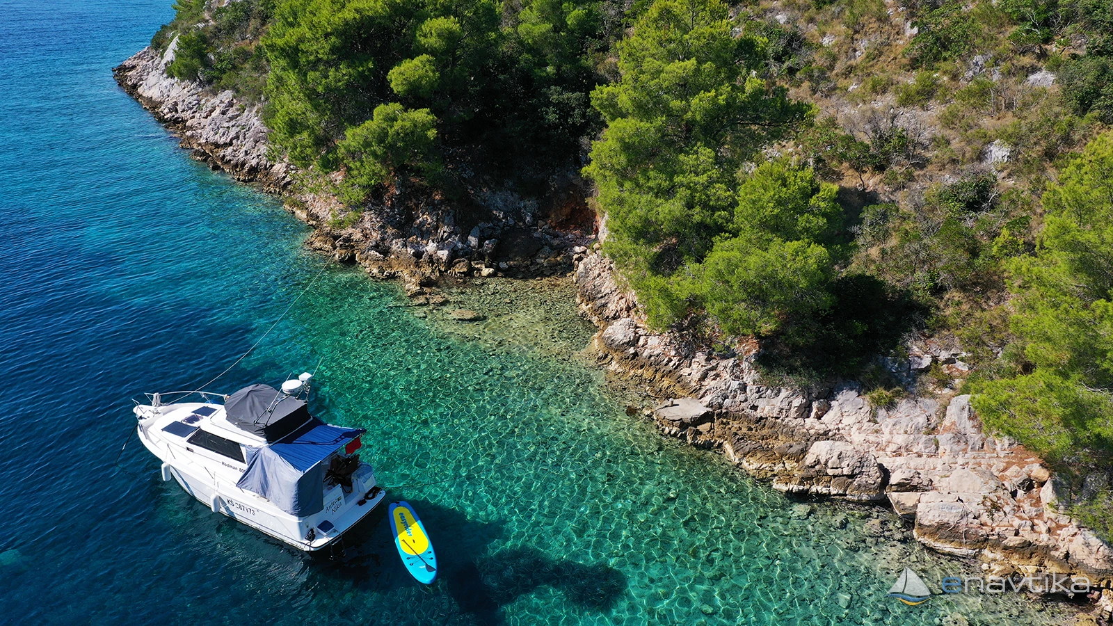
The Vela Travna anchorage is on the southeastern side of the island of Šolta, between the capes Tetinja in the west and Motika in the east. The depth of the sea in the bay increases rapidly, so anchoring is only possible in its northern part at depths between 2 and 10 m. The bottom is sandy and in some places overgrown with grass. In parts where there is no grass, the anchor holds well, but in the grassy part it depends on the anchor. The bay is well protected from all winds except the south. The bay is very narrow, so caution will not be superfluous when anchoring. No concession has been granted for the bay. Anchoring on your own anchor is free of charge. The nearest tavern, gas station and shop are in Milna on the island of Brač, which is 4 nmi away.
Zaštita od vjetra/Vrijeme

Danas
- čv
Sutra
- čv
Petak
- čv
U blizini
-
 Sajtija
Sidrište
0.54 nmi
Sajtija
Sidrište
0.54 nmi
-
Stračinska
Sidrište
0.54 nmi
-
Livka
Sidrište
0.59 nmi
Zaštićeno
- Lestimerova Sidrište 0.64 nmi
- Grmine Sidrište 1.73 nmi
- Krvača Sidrište 2.03 nmi

Cijene
| 09.11.2015 | 0 HRK /m/dan |

Komentari