Arta Vela
Arta Vela
 Anchorage
Objavil(a) eNavtika
, 29.05.2018
Data
| GPS | 43° 51' N , 15° 32' E |
| Nr. of moorings | 2 |
| Water depth | 2 - 6 m |
| Opening hours | 1.1. - 31.12. |
| Gas station | 3 nmi Hramina - Murter |
| Place | Arta Vela |
About
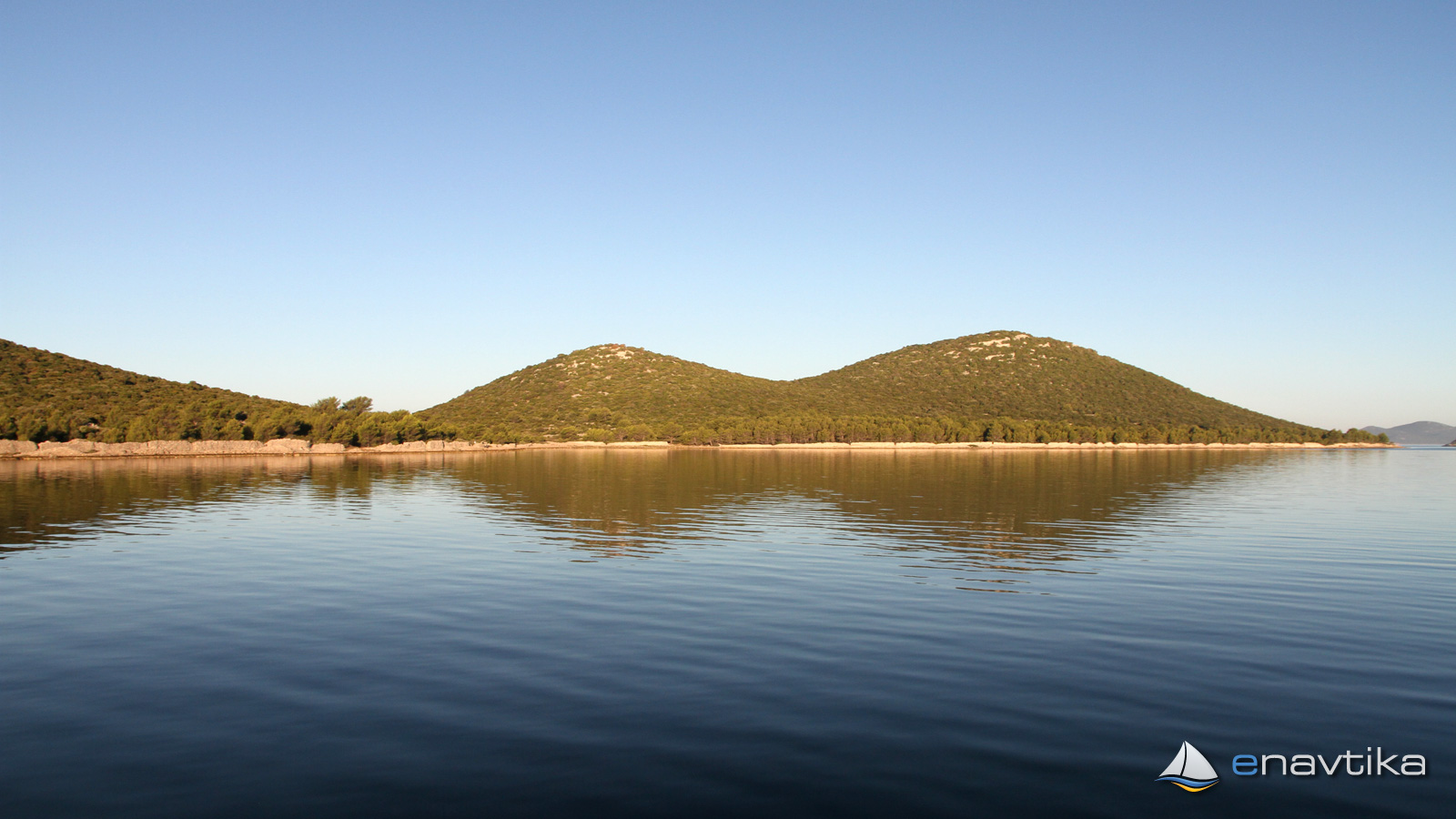
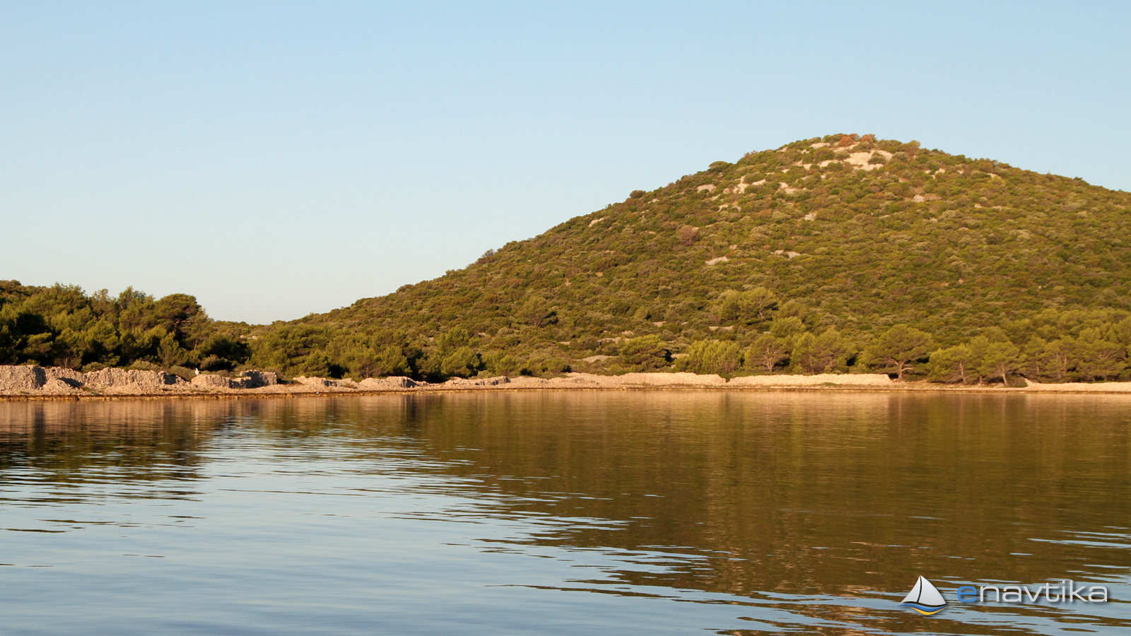
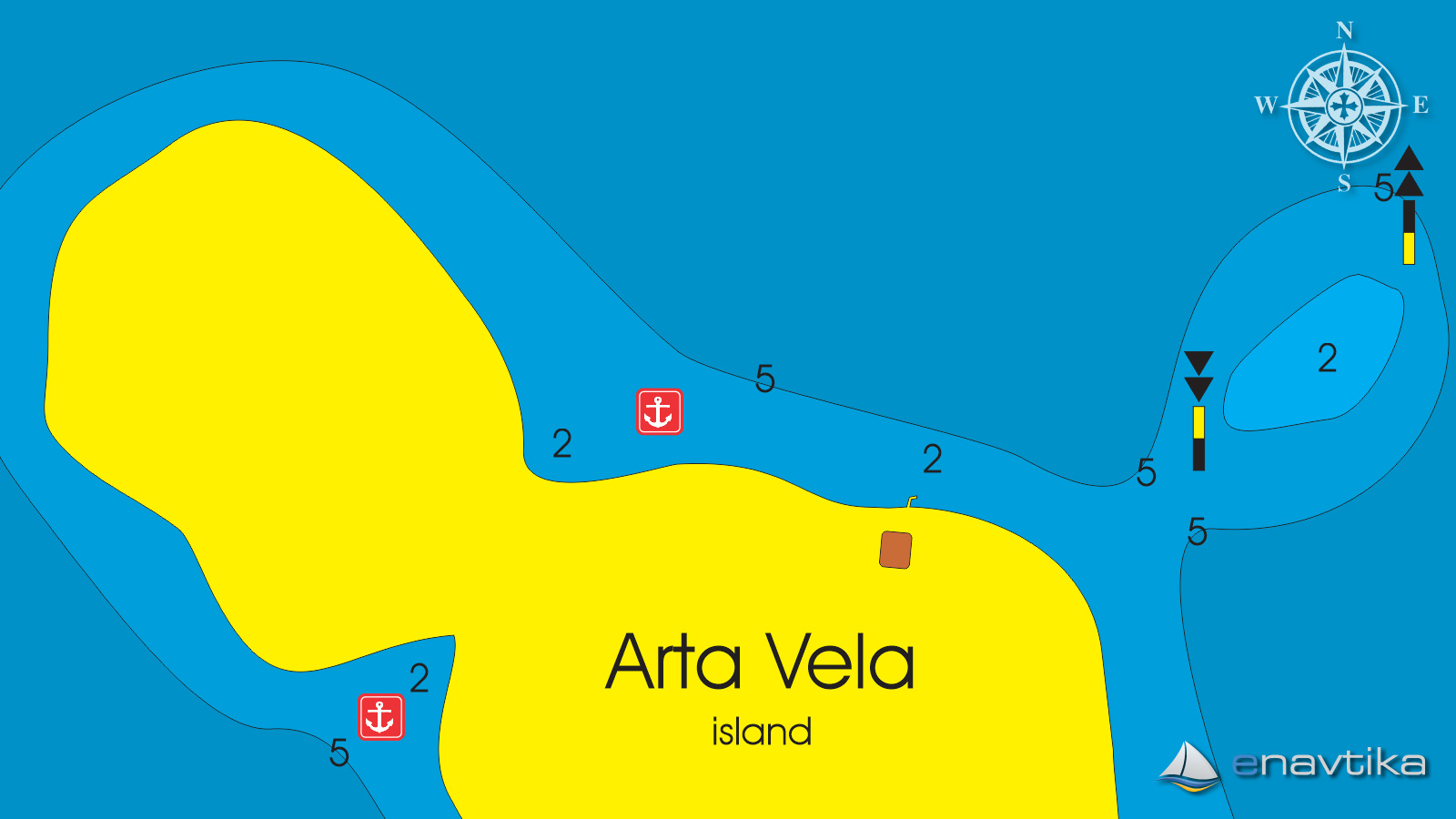
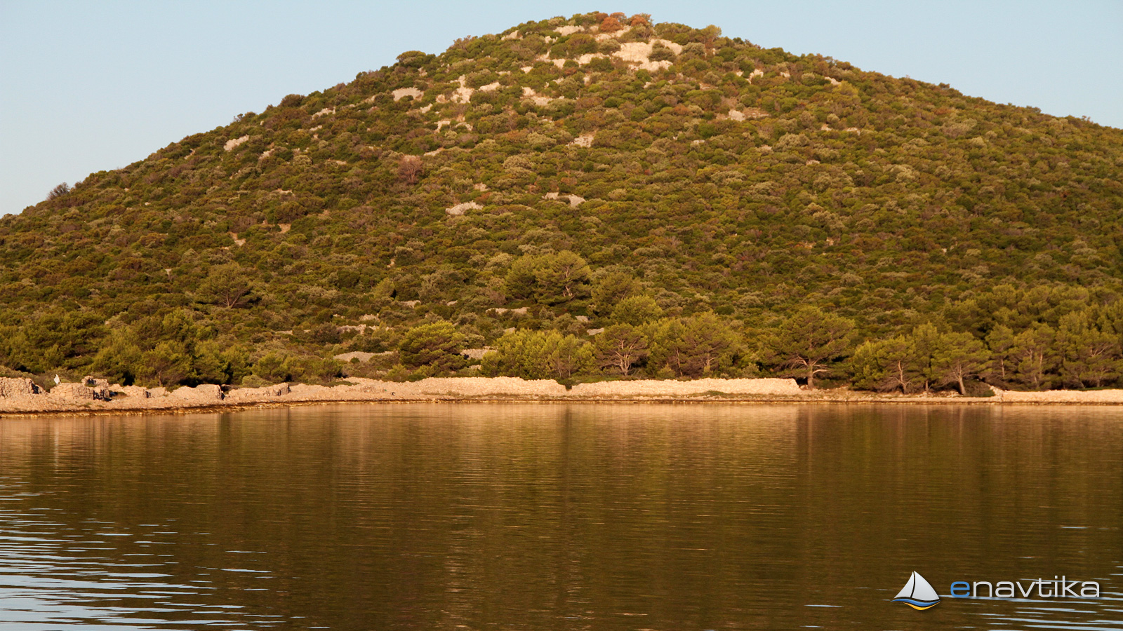
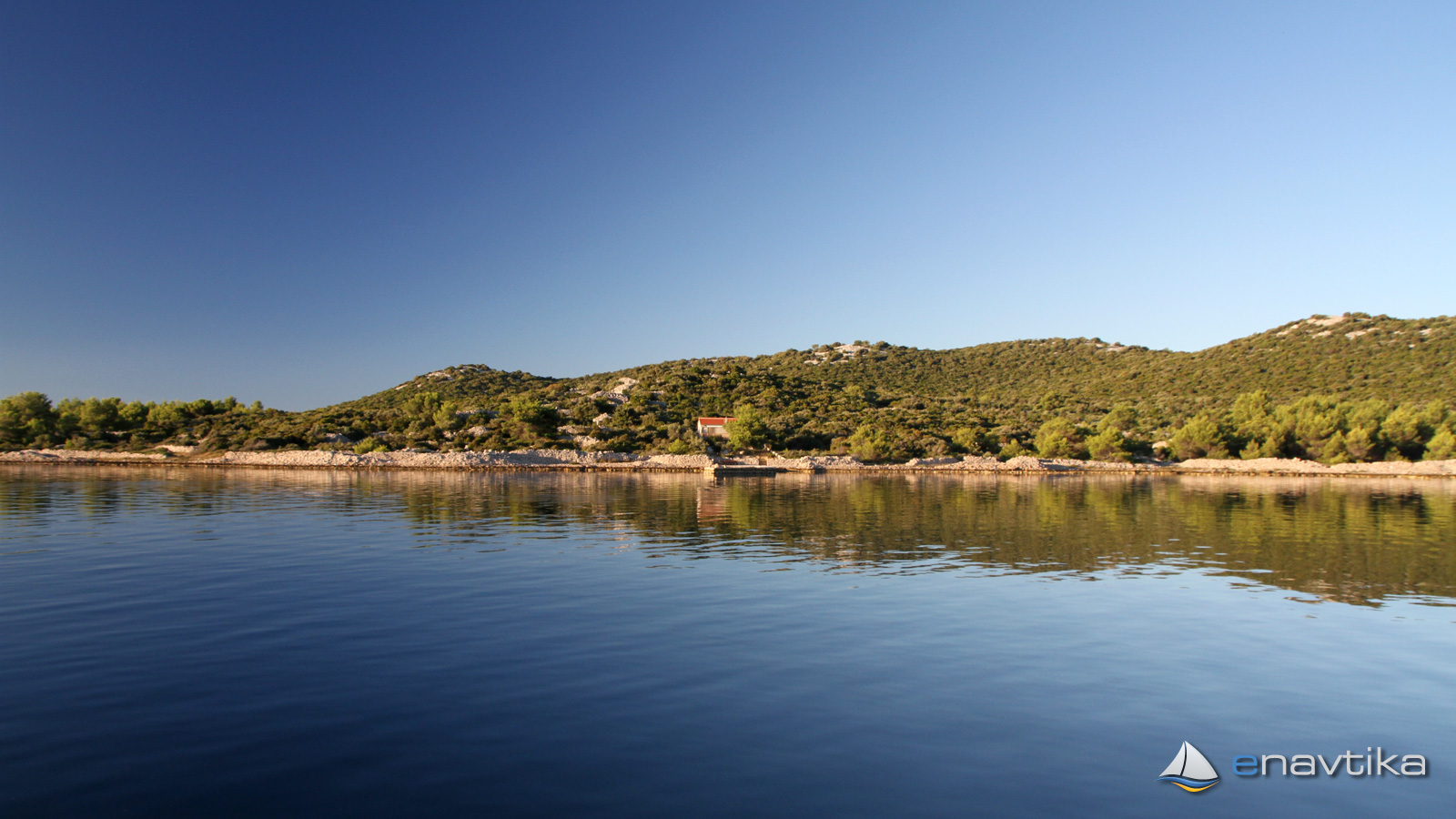
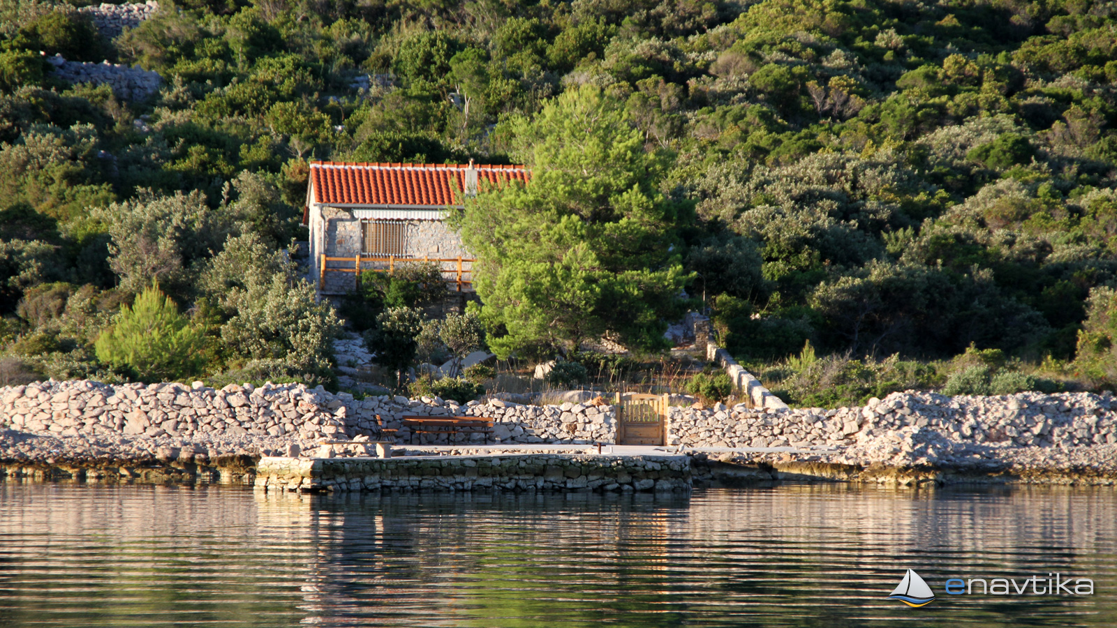
Arta Vela is a small island south of the Pakoštane. On north side is possible to anchor along the coast. Water depths are between 2 and 6 m. Seabed is sandy and the anchor holds well. There is also a small stone pear where sideways docking is possible. Water depth at the north side of the dock is only 1,5 m.
CAUTIOUSNESS IN NAVIGATION
On the northeast side of the island is a shallow area. It is marked wis cardinal marks south on the south side and north on the north side. Water depths in between is only 2m. When sailing from southeast side, sail between the island and mark south. Water depth in between is 5m.
Wind protection/Weather
Today
- knots
Tomorrow
- knots
Thursday
- knots
Nearby
-
 Kušija
Mark
0.53 nmi
-
 Lučica Modrava
Anchorage
0.89 nmi
-
 Mala Luka
Anchorage
1 nmi
Protected
- Lučica Modrava Anchorage 0.89 nmi
- Mala Luka Anchorage 1 nmi
- Dolačka Port 1.02 nmi
Upcoming events
- Nautic Club Rogla Sailing Grand Prix 2026 Regatta starts in 1 month in 21 days
Prices
| 31.05.2018 | 0,00 HRK/m/dan |



Comments