
Drvenik Mali
Drvenik Mali
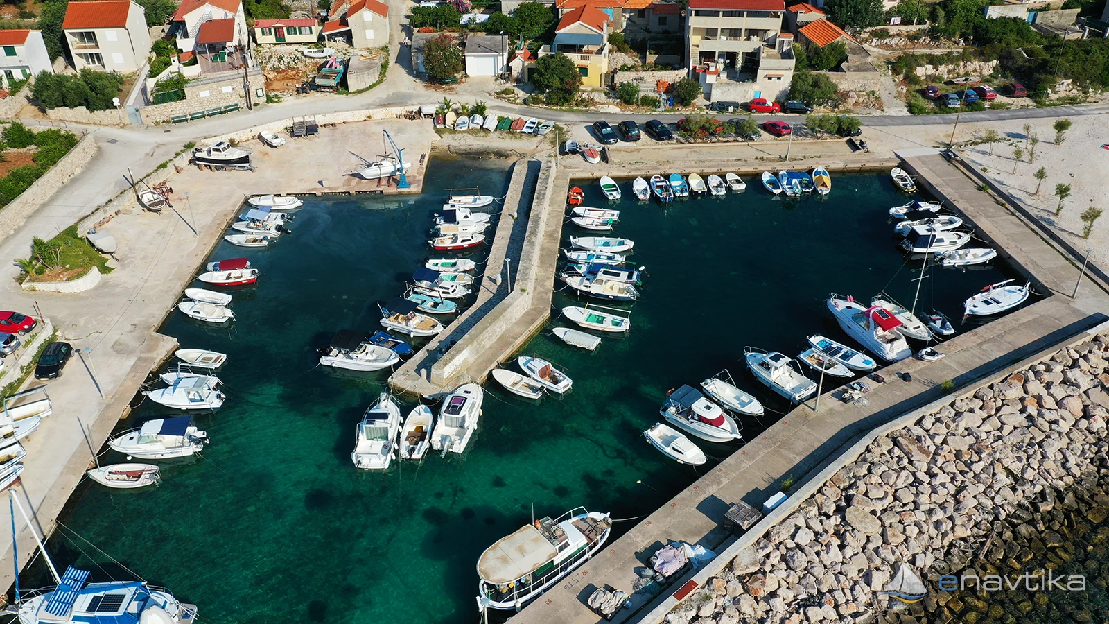
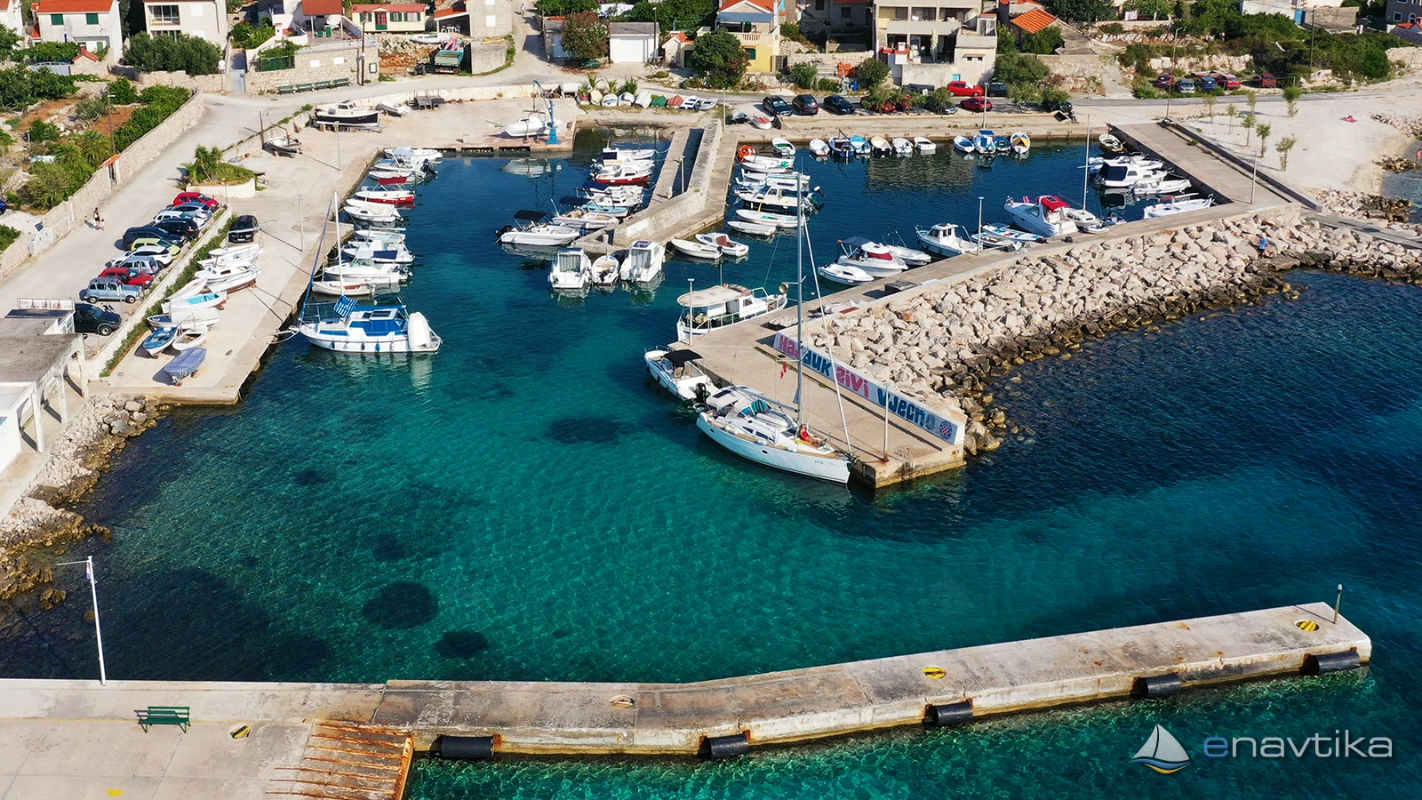
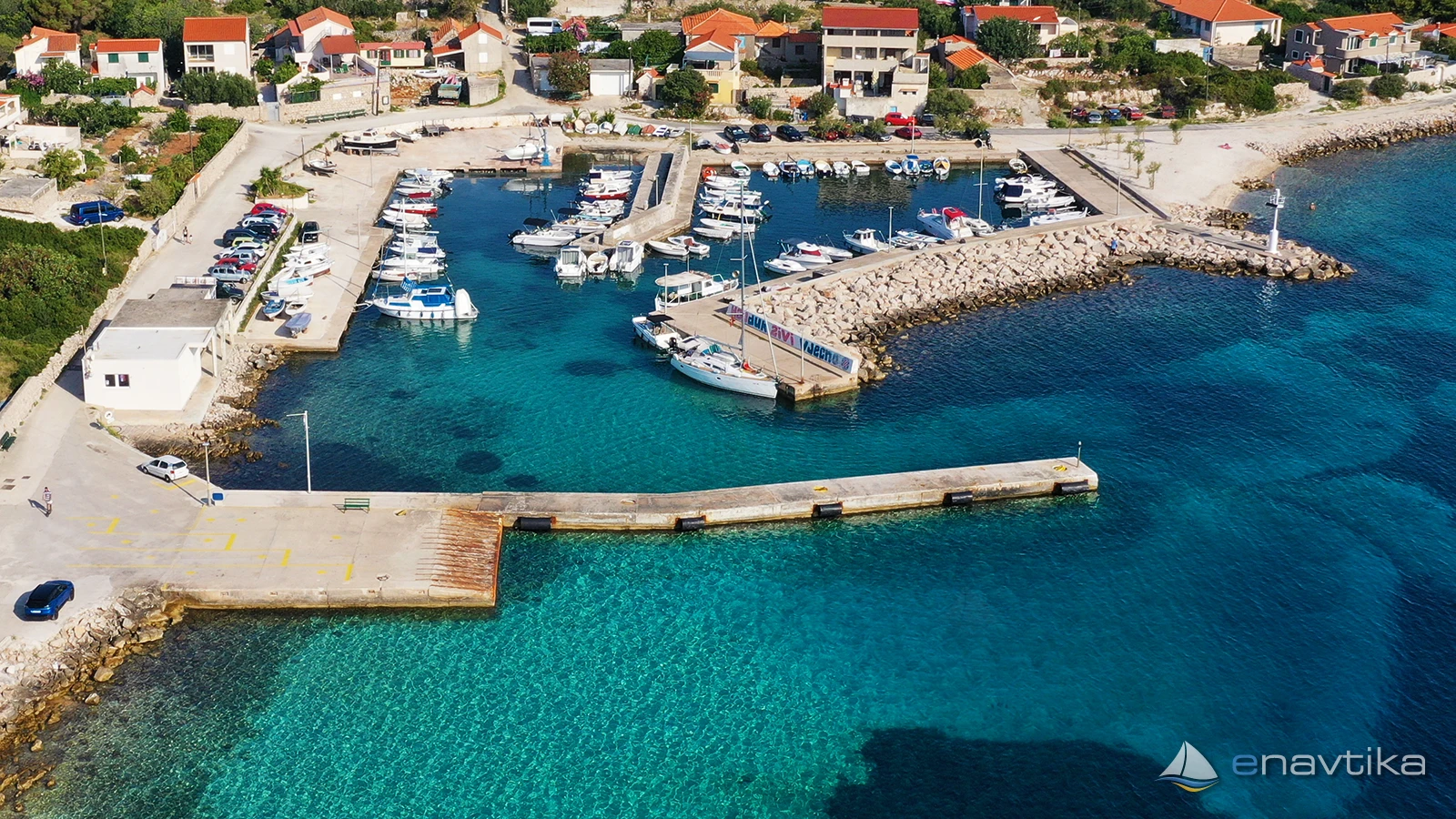
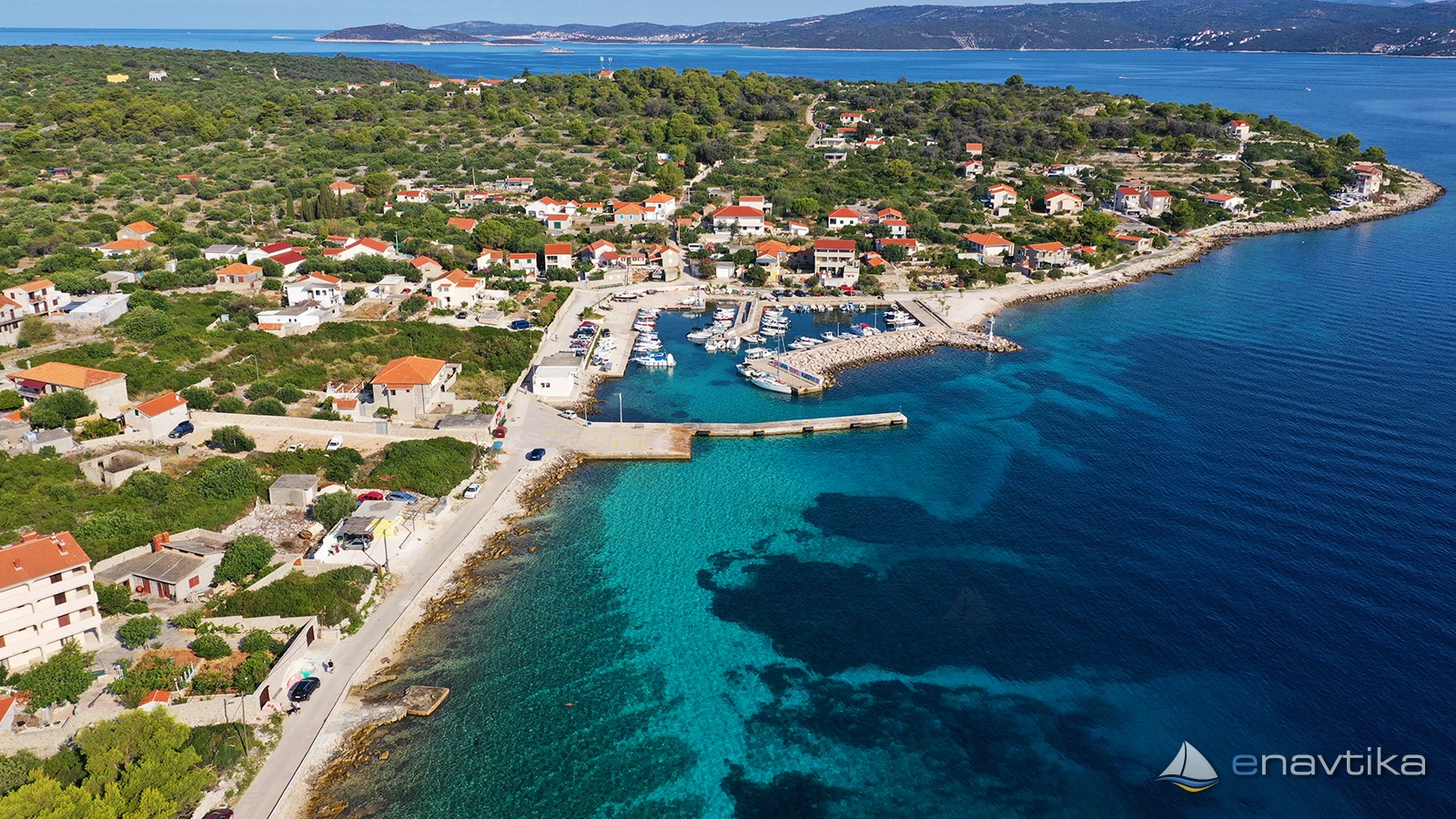
 Luka
Luka
Podaci
| GPS | 43° 27' N , 16° 5' E |
| Broj vezova | 4 |
| Dubina vode | 1,5 - 3 m |
| Radno vrijeme | 1.1. - 31.12. |
| Benzinska postaja | 8 nmi Trogir |
| Dizalica | 2 t |
Info
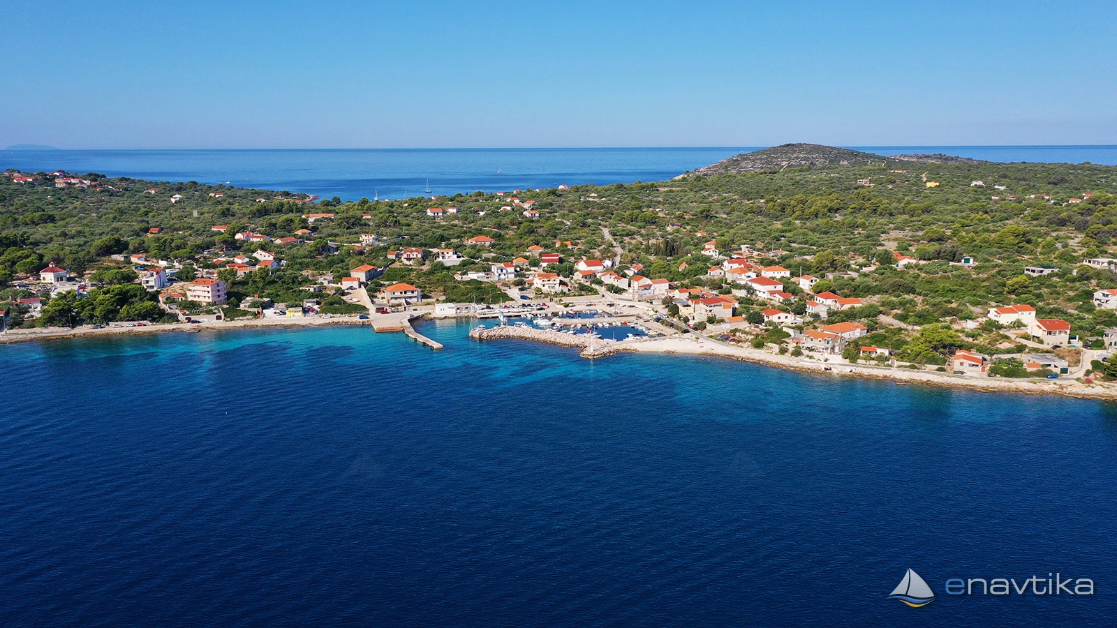
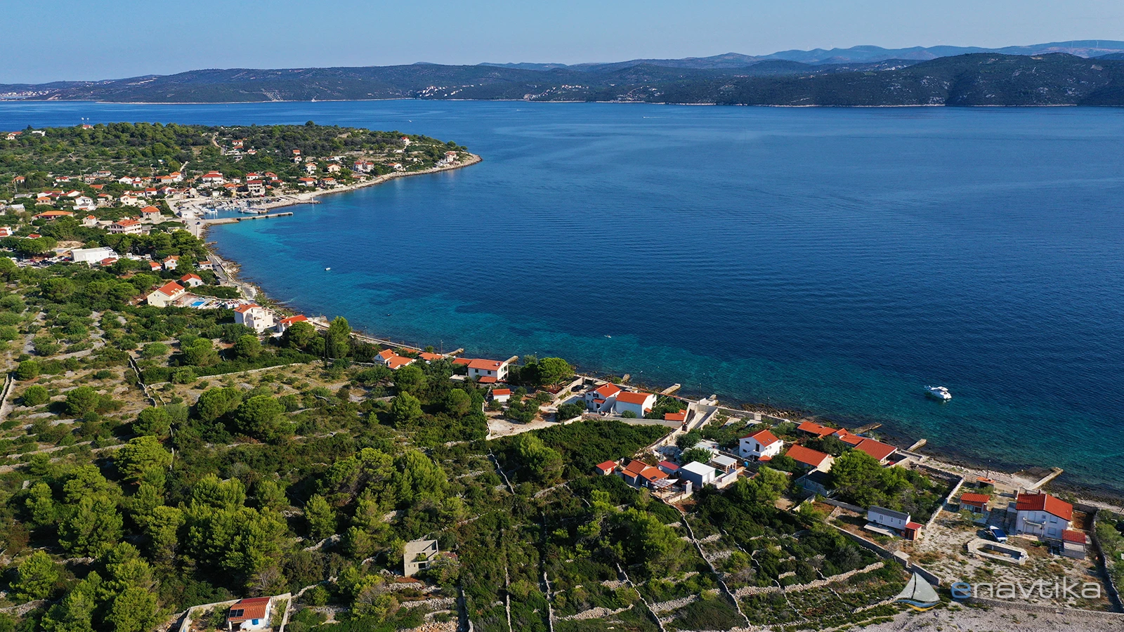
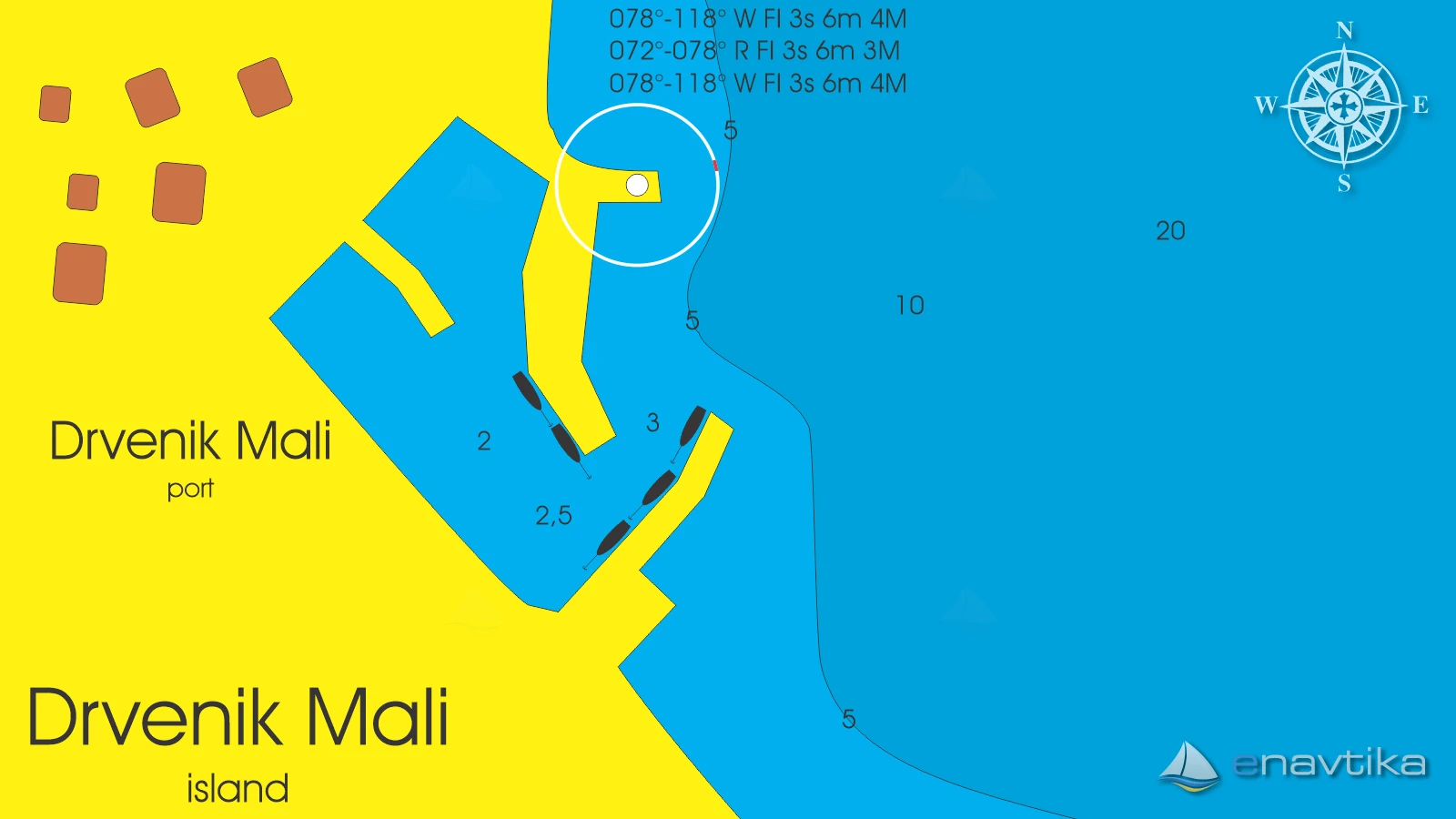
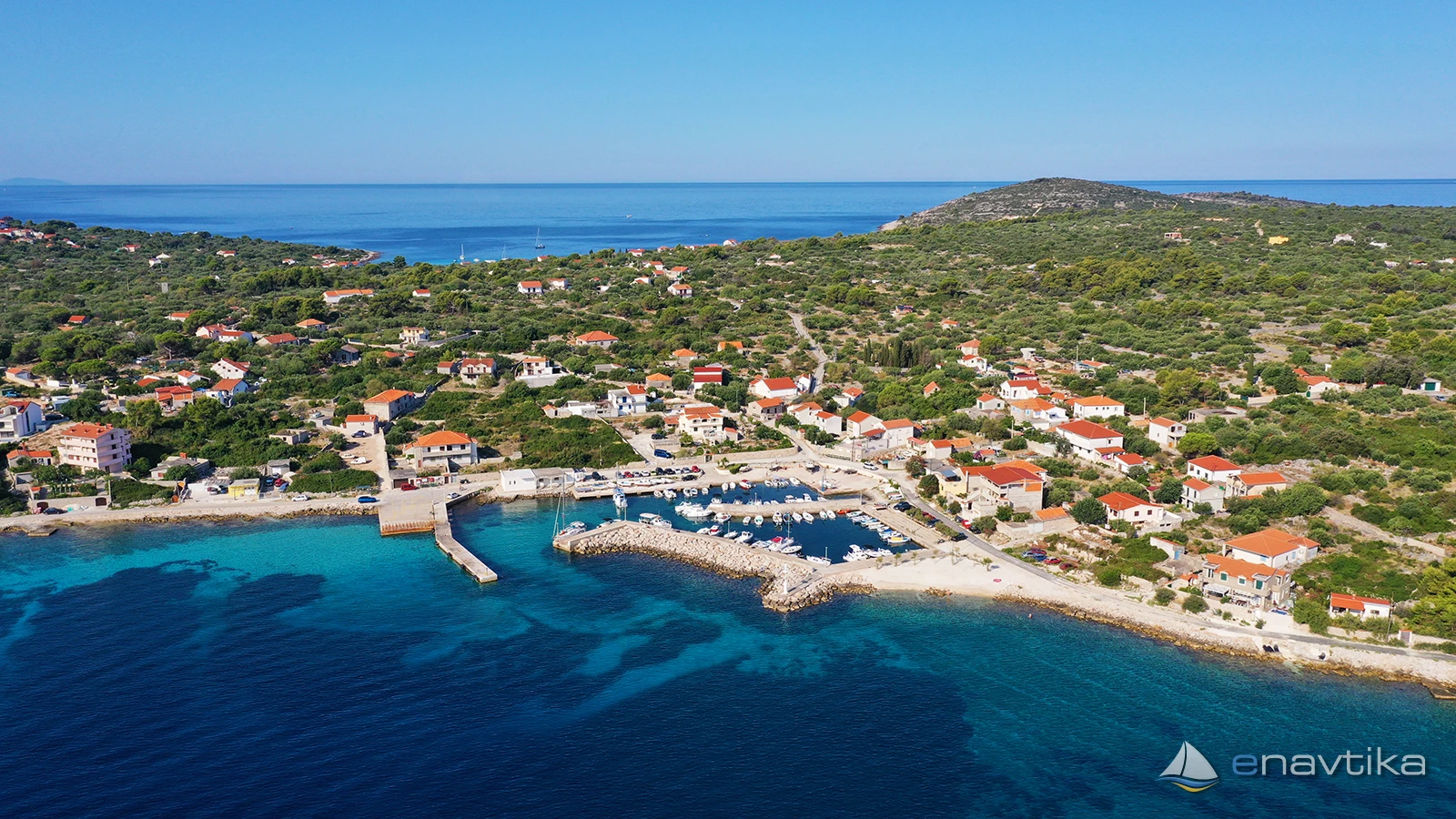
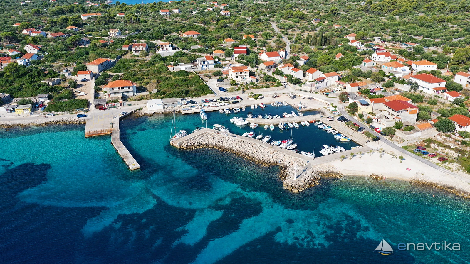
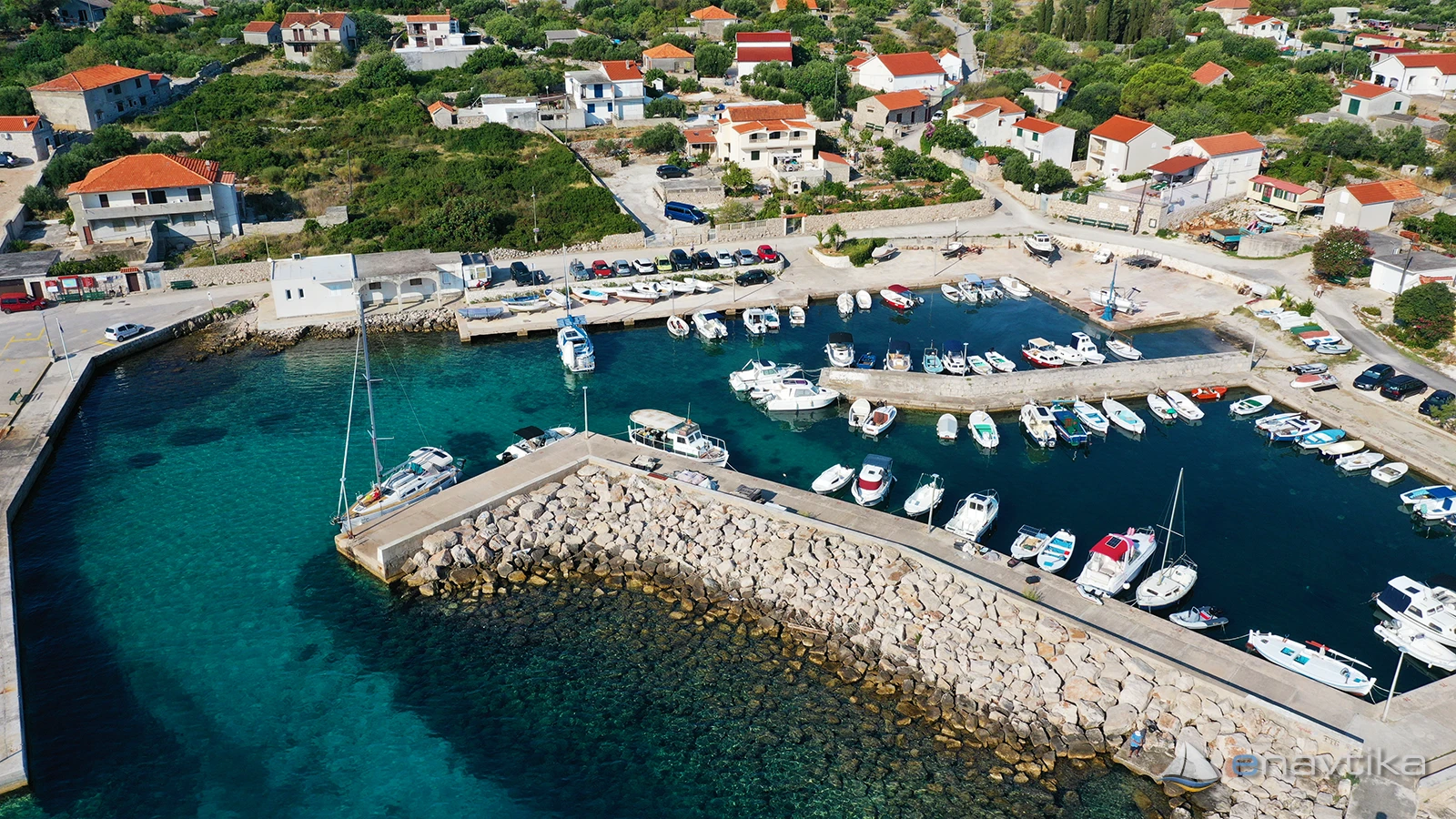
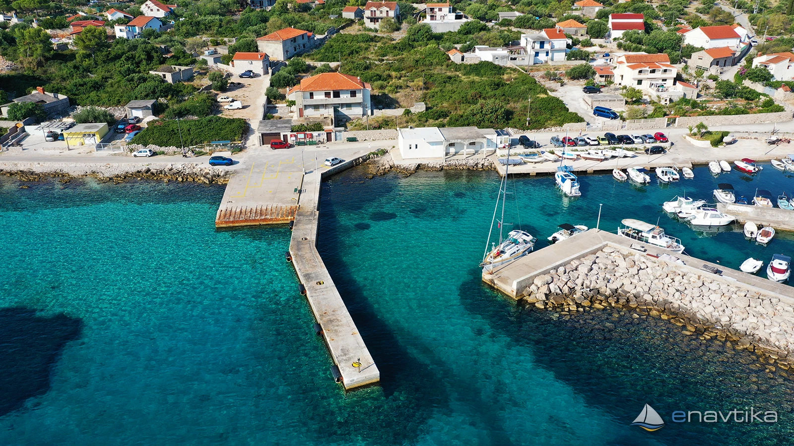
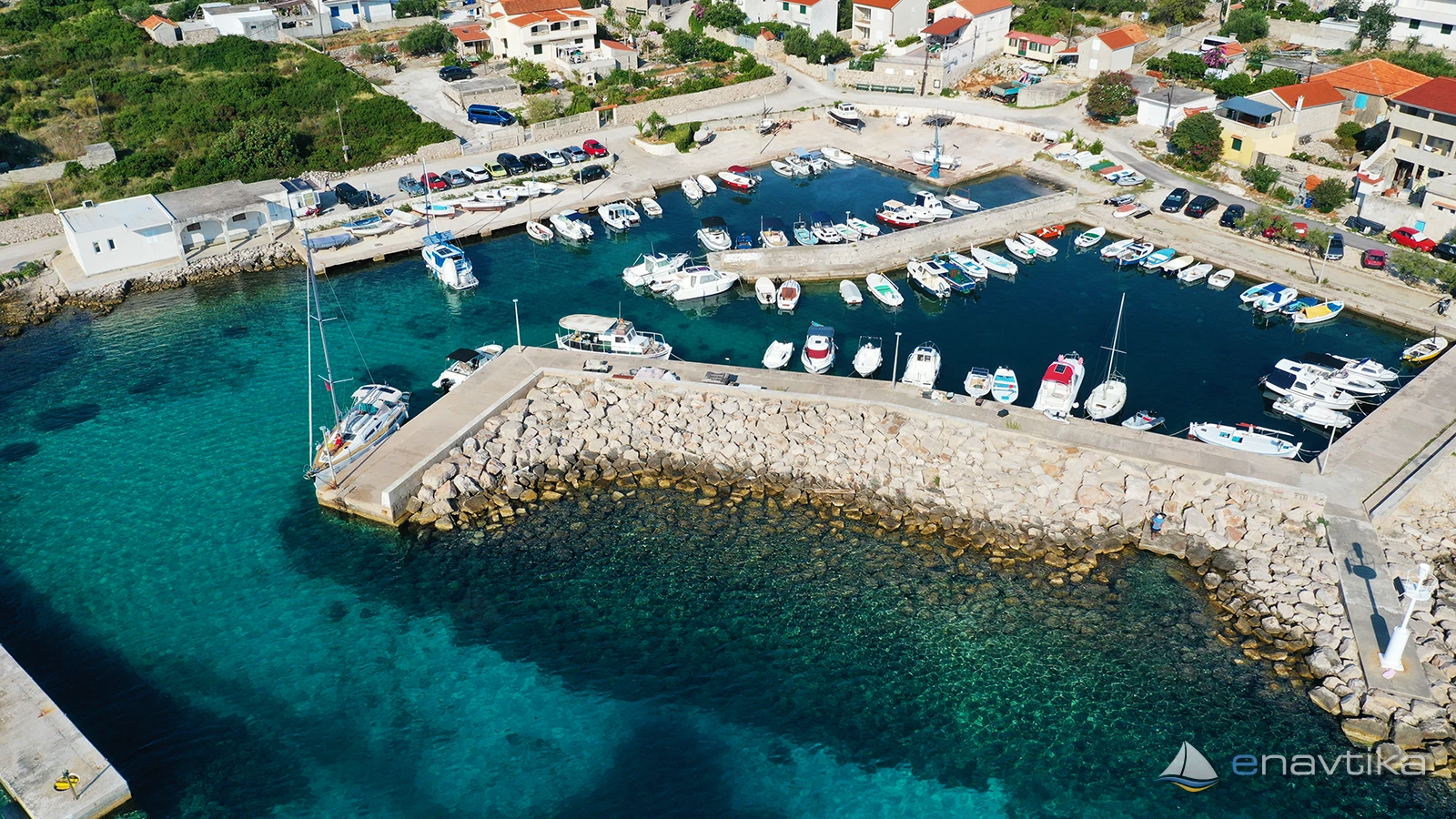
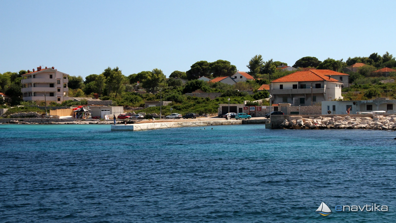
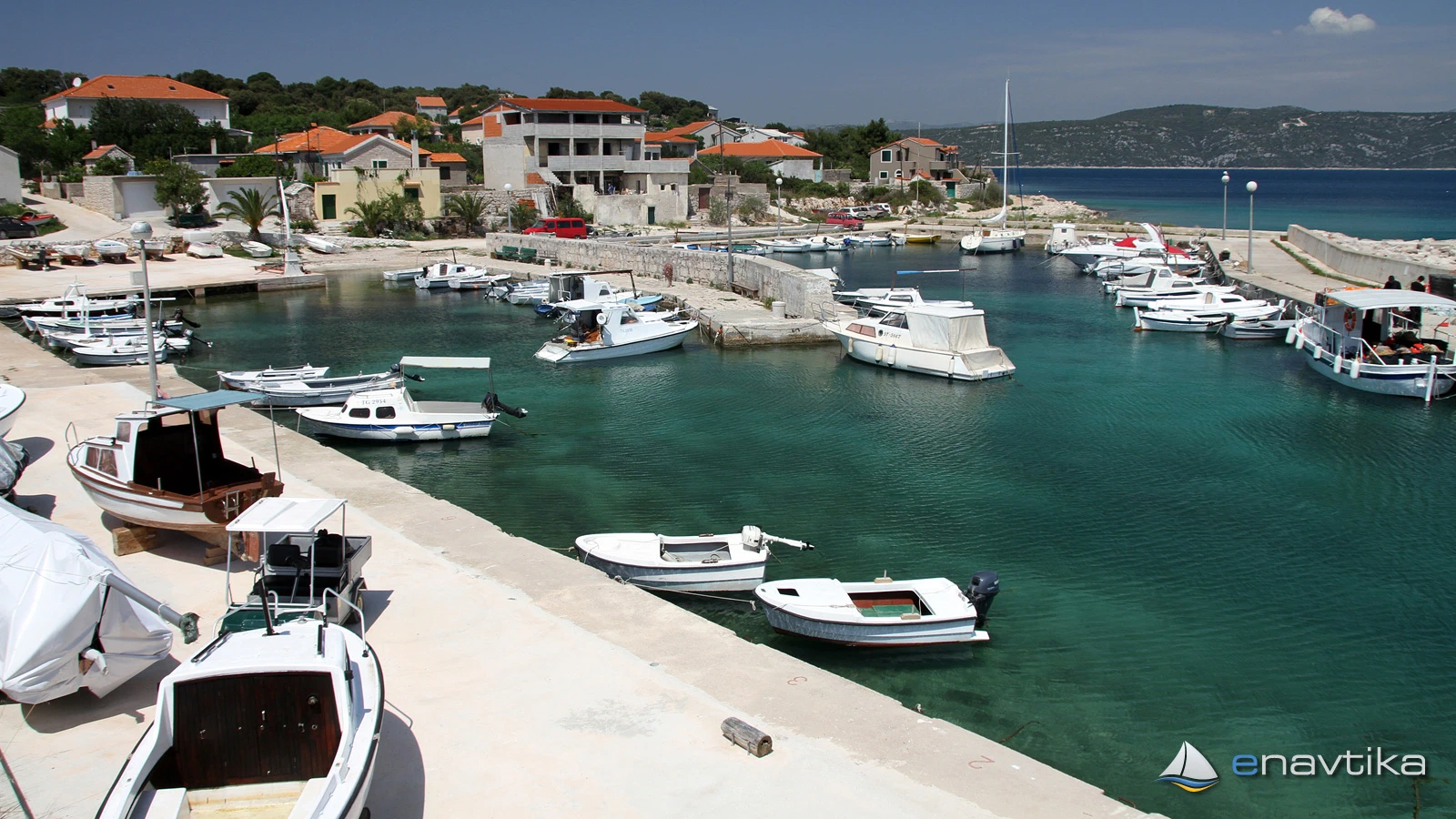
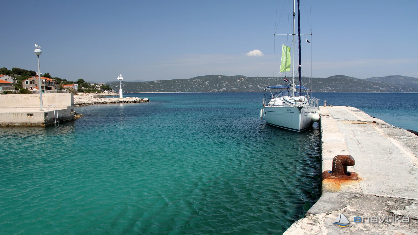
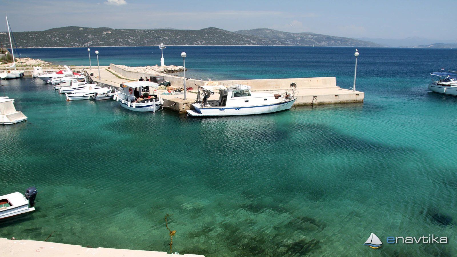
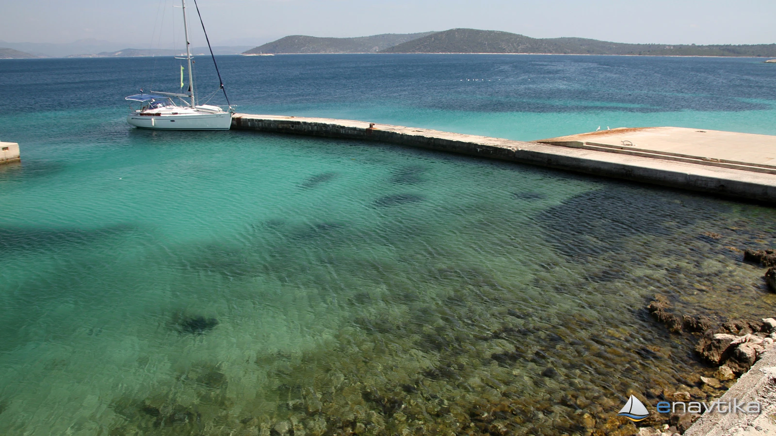
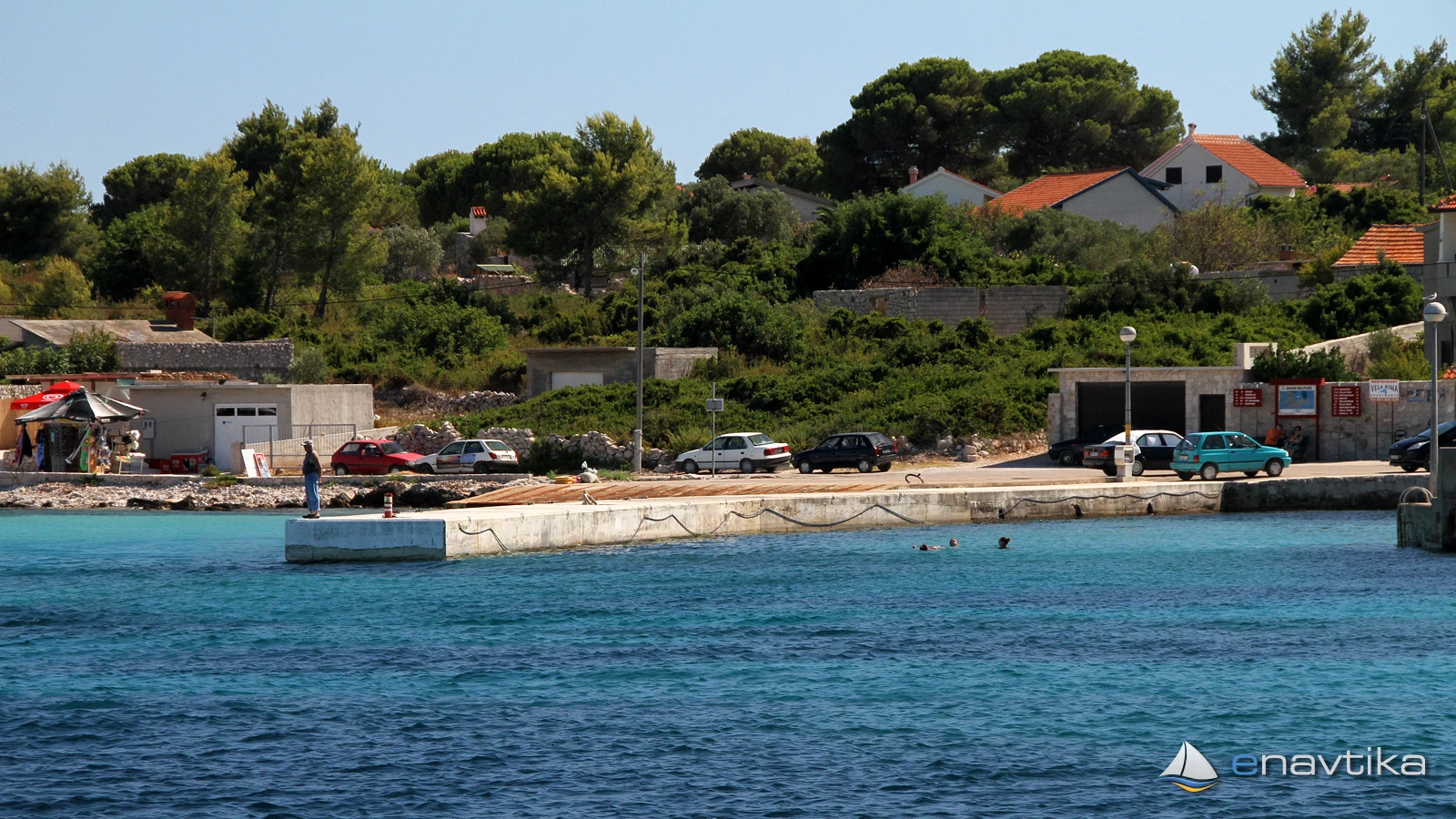
The Drvenik Mali port is located on the eastern side of the island of the same name in the immediate vicinity of the Drvenik Veli island. The small port offers mooring mostly to local vessels. The vessel can be moored sideways to the inner - northern side of the southern breakwater, where the depth is from 1.5 to 3 m. There is room for 3 to 4 vessels. The depth of the sea decreases inside the port, so we recommend mooring the vessel with the bow towards the shore. The port is protected from western and southern winds, while the bora wind causes waves in the port and mooring in the port is not recommended. In the event of a bora wind, we recommend mooring to a buoy or anchoring in the Vela Rina bay on the southern side of the island. The interior of the port is occupied by local vessels. The port is marked with a white lighthouse, which is red in the area of 72-78 degrees due to the islet of Malta, which is located between the ports of Veli Drvenik and Mali Drvenik. If you are heading towards Drvenik Mali from the NE, be careful of the islet. There is no offer in the port. The nearest tavern is in the Vela Rina bay, and the nearest gas station is in the port of Trogir, which is 8 nmi away.
Zaštita od vjetra/Vrijeme

Danas
- čv
Sutra
- čv
Petak
- čv


Komentari