
Video
Foto
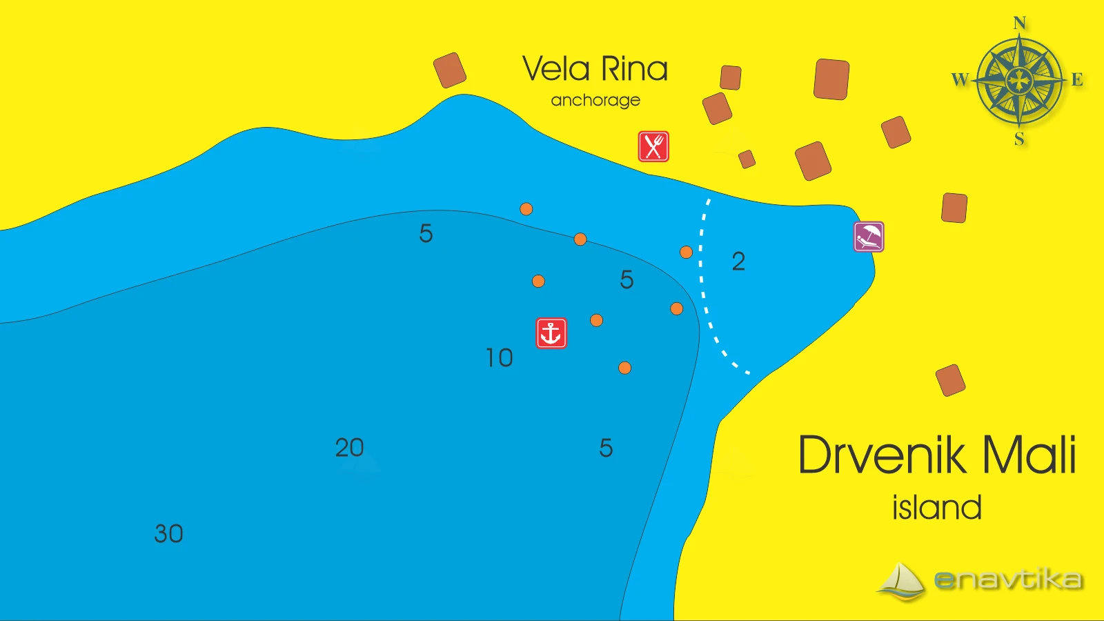
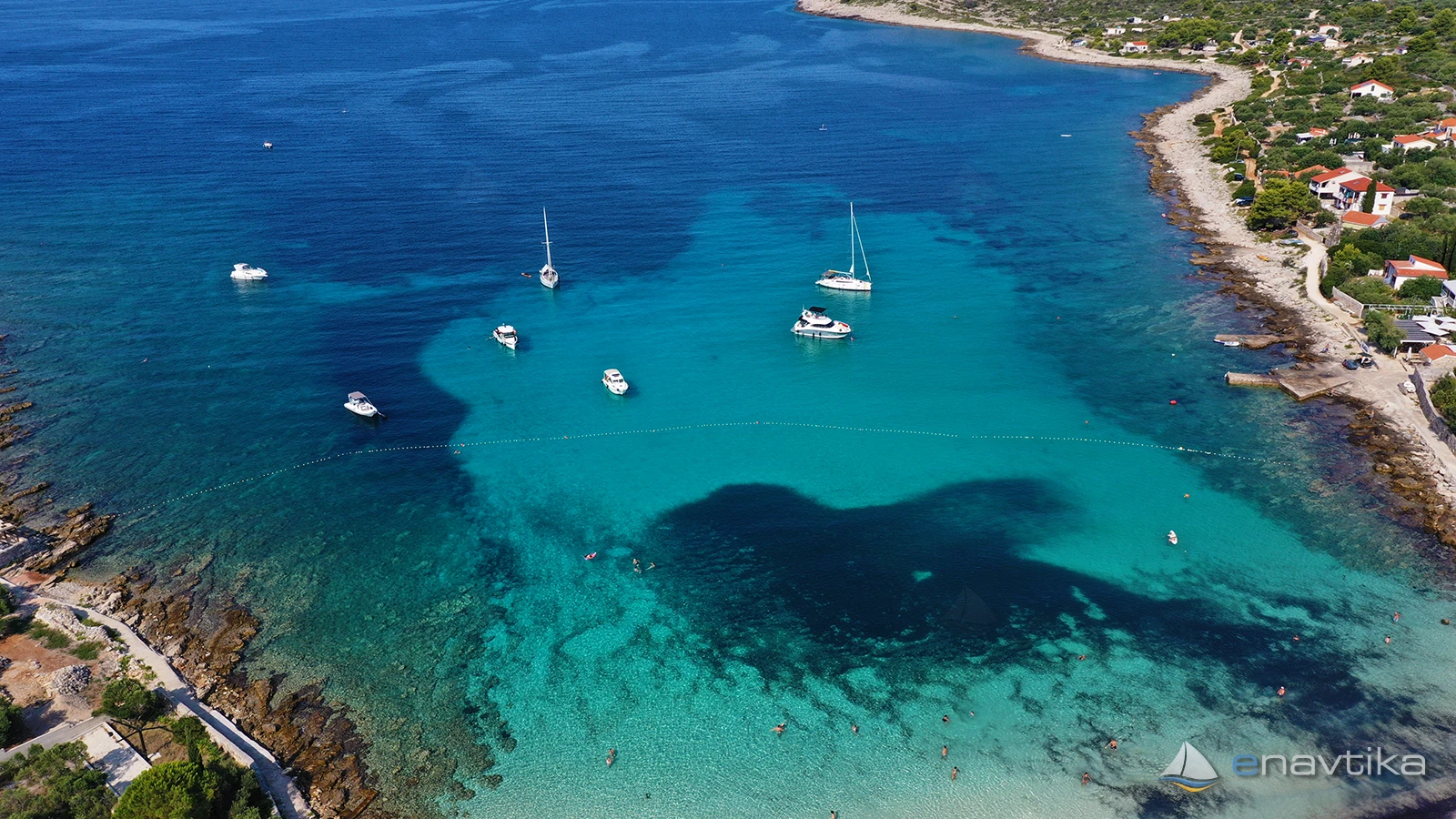
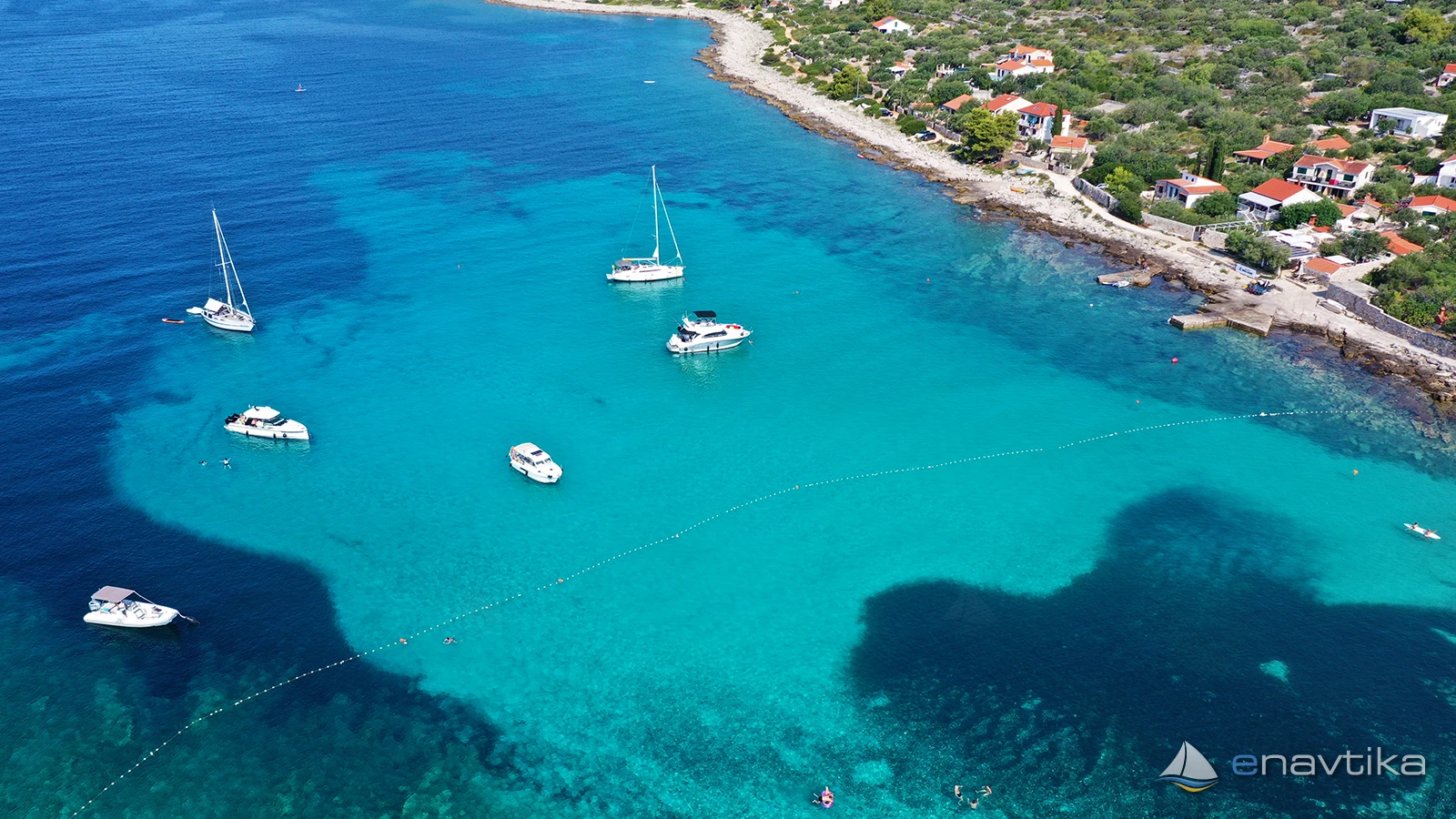
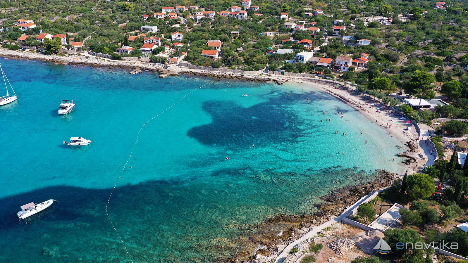
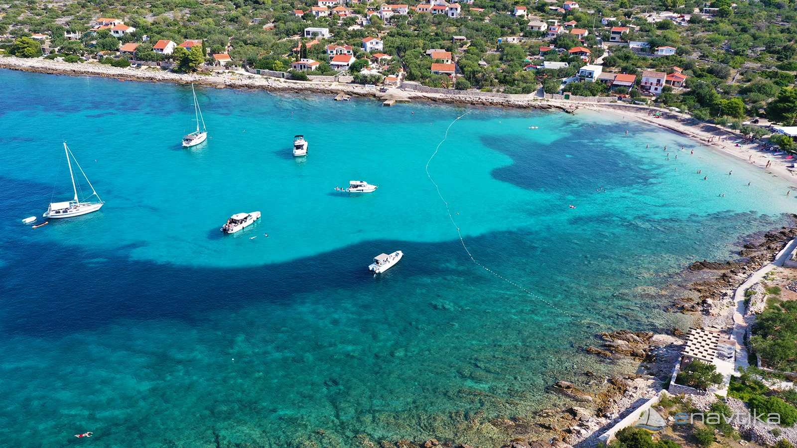
Vela Rina
Drvenik Mali
 Sidrište
Objavil(a) eNavtika
Podaci
| GPS | 43° 26' N , 16° 4' E |
| Benzinska postaja | 9 nmi Rogač - Šolta, Rogoznica |
| Dubina vode | 2 - 15 m |
| Mjesto | otok Drvenik Mali |
| Radno vrijeme | 1.1. - 31.12. |
| Broj vezova | 5 + sidranje na lastnem sidru |
Info
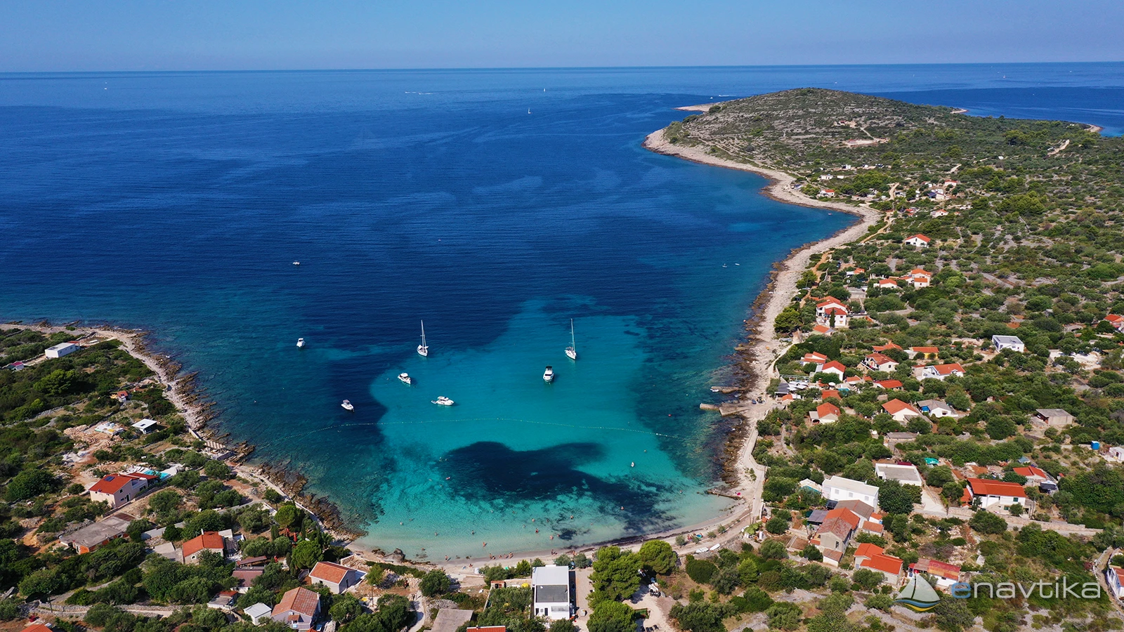
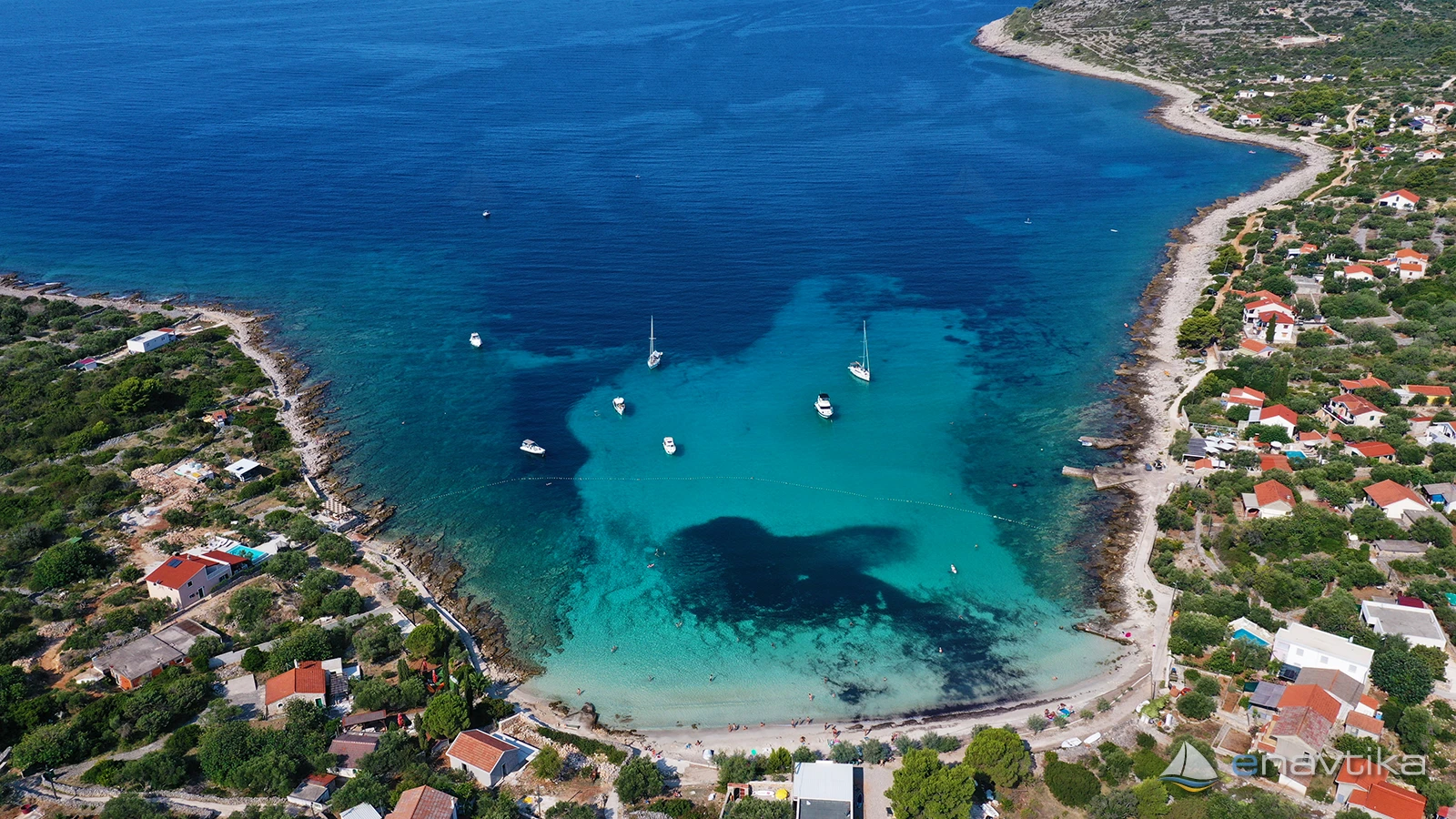
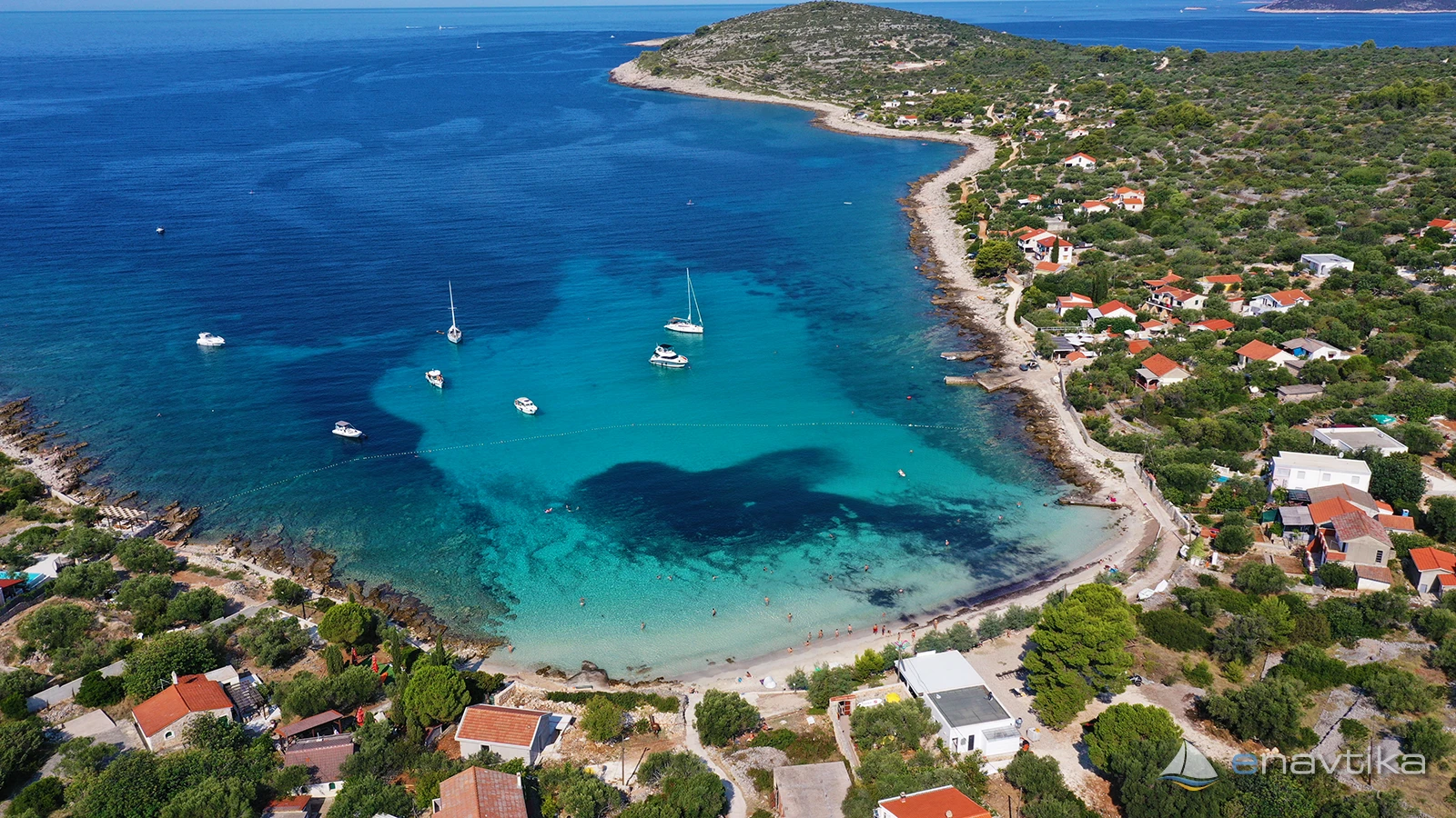
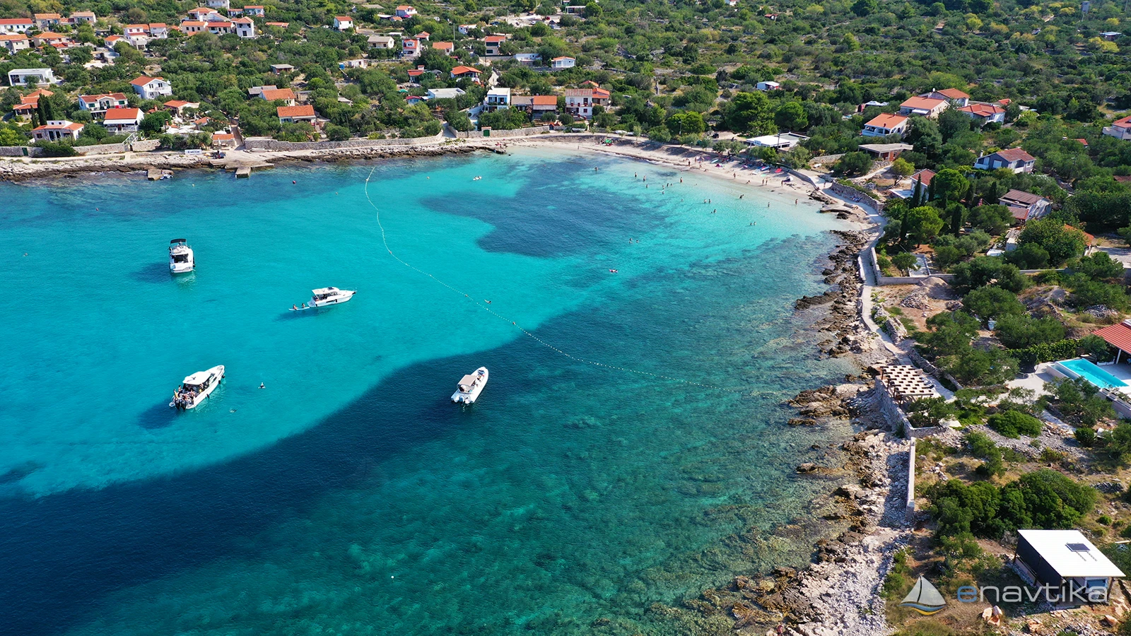
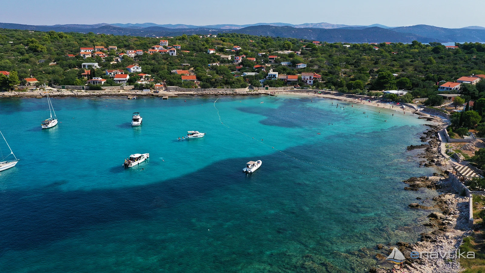
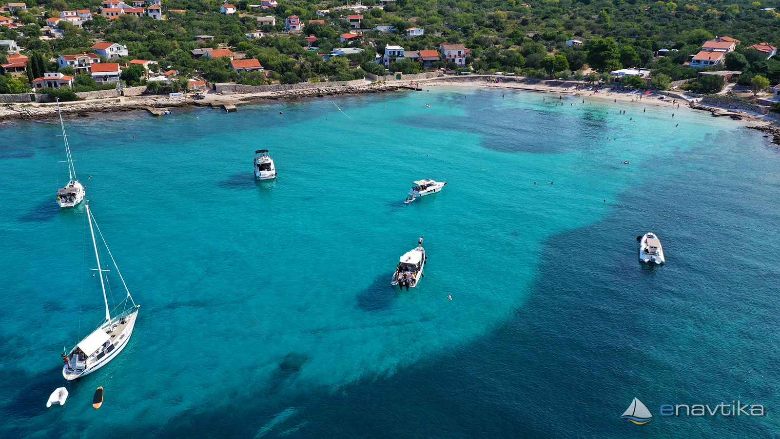
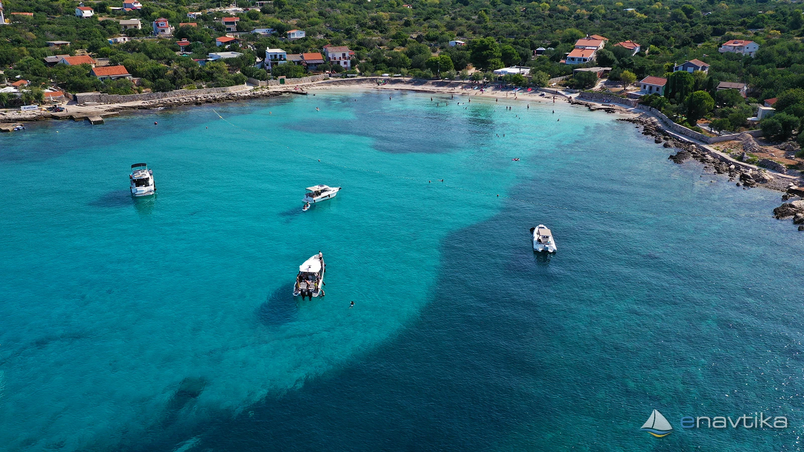
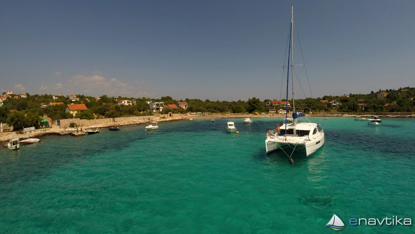
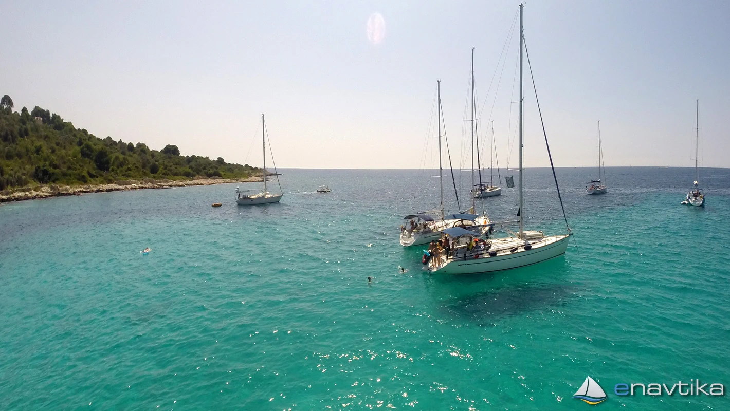
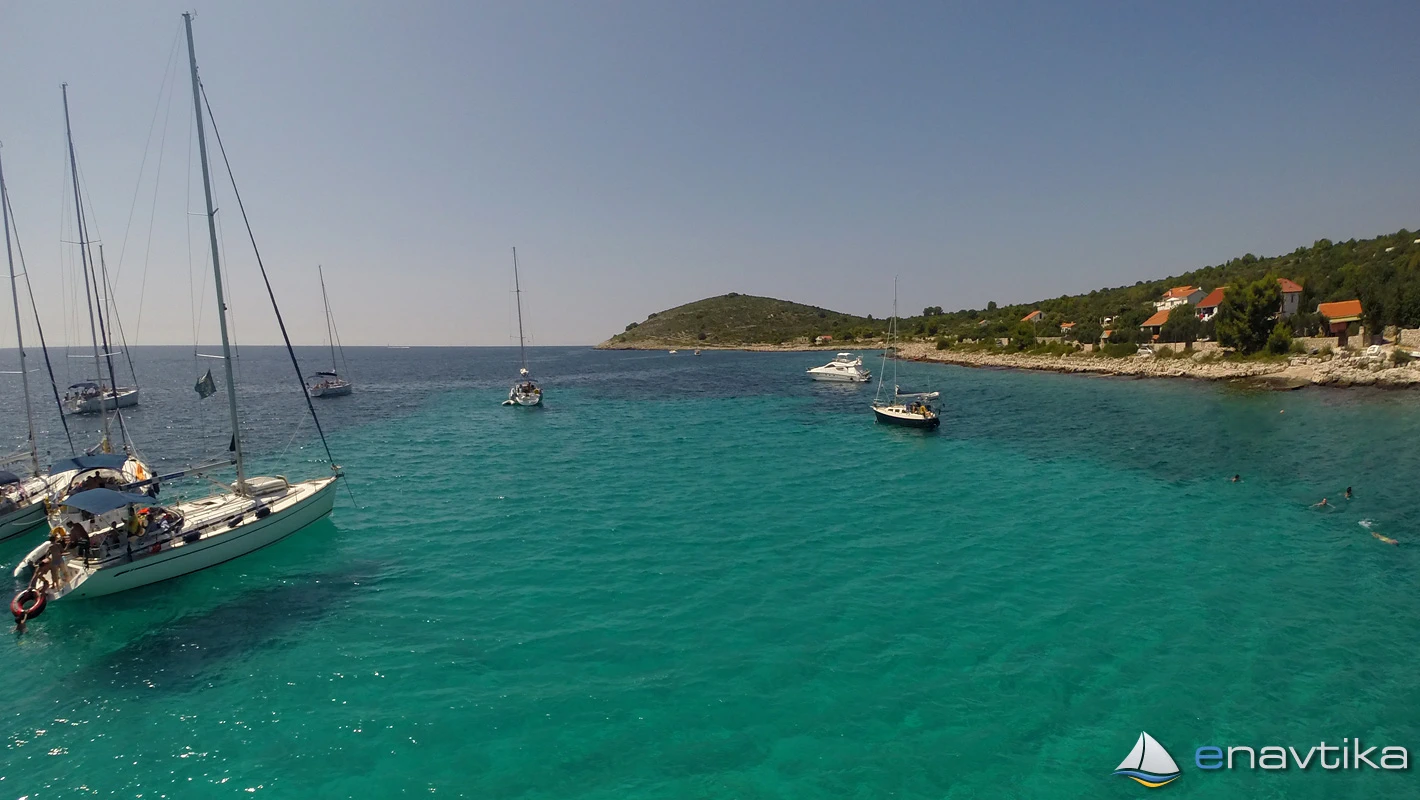
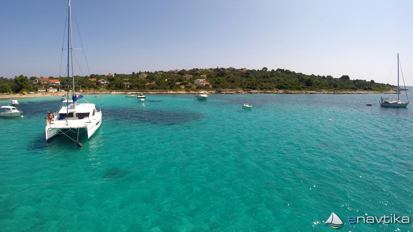
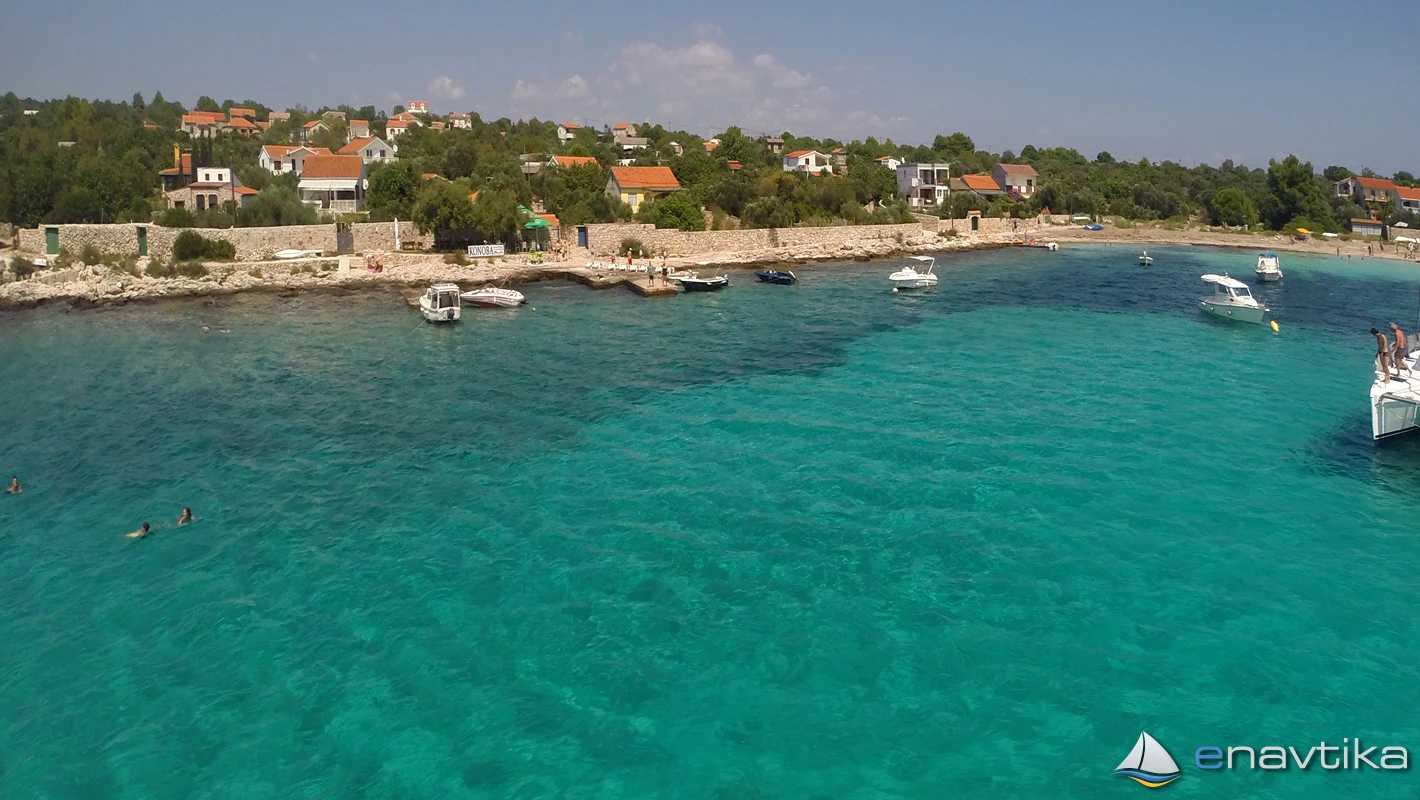
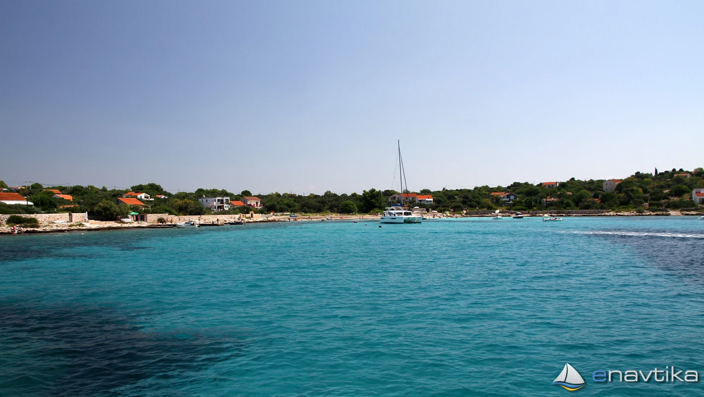
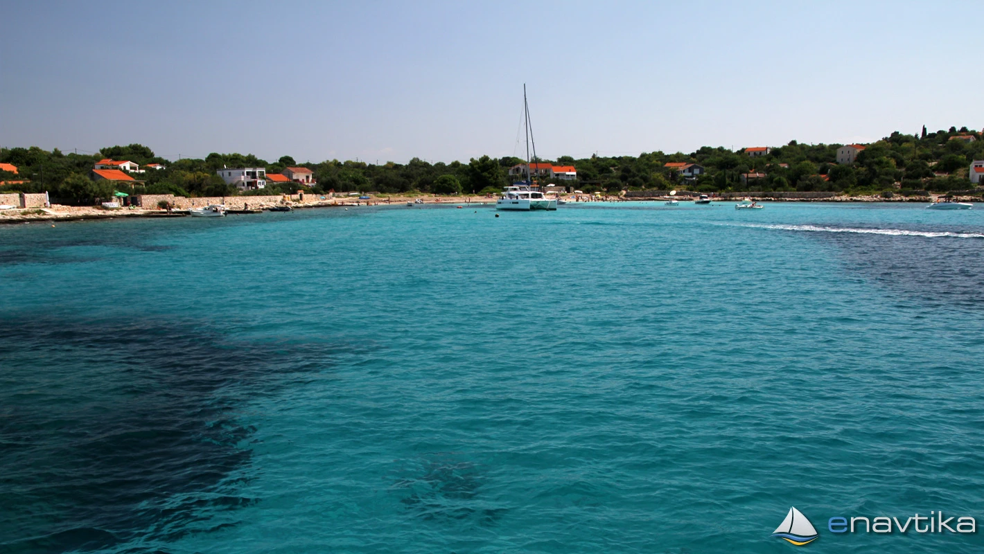
The bay and anchorage of Vela Rina is on the western side of the island of Drvenik Mali. It is well protected from north and east winds, but does not offer protection from west and south winds. The strong maestral blows from west to east and causes waves in the bay and is not suitable for anchoring. There is a sinkhole at the bottom of the bay and the anchor holds well. We can anchor at depths between 2 and 15m. There are also 5 buoys for mooring boats, which are intended for guests of the inn on the northern side of the bay. There is a public beach in the bay. Anchoring is required at a suitable distance from the fence. The nearest gas station is in Rogač on the island of Šolta, which is 8 nmi away.
Zaštita od vjetra/Vrijeme

Danas
- čv
Sutra
- čv
Srijeda
- čv
U blizini
-
 Drvenik Mali
Luka
0.51 nmi
Drvenik Mali
Luka
0.51 nmi
-
 Drvenik Mali 530
Svjetionik
0.54 nmi
Drvenik Mali 530
Svjetionik
0.54 nmi
-
 Gabrine
Sidrište
0.58 nmi
Gabrine
Sidrište
0.58 nmi
Zaštićeno
- Drvenik Mali Luka 0.51 nmi
- Krivača Sidrište 1.79 nmi
- Mala luka Sidrište 1.93 nmi

Cijene
| 01.02.2026 | 0,00 EUR/m |

Komentari