
Video
Foto
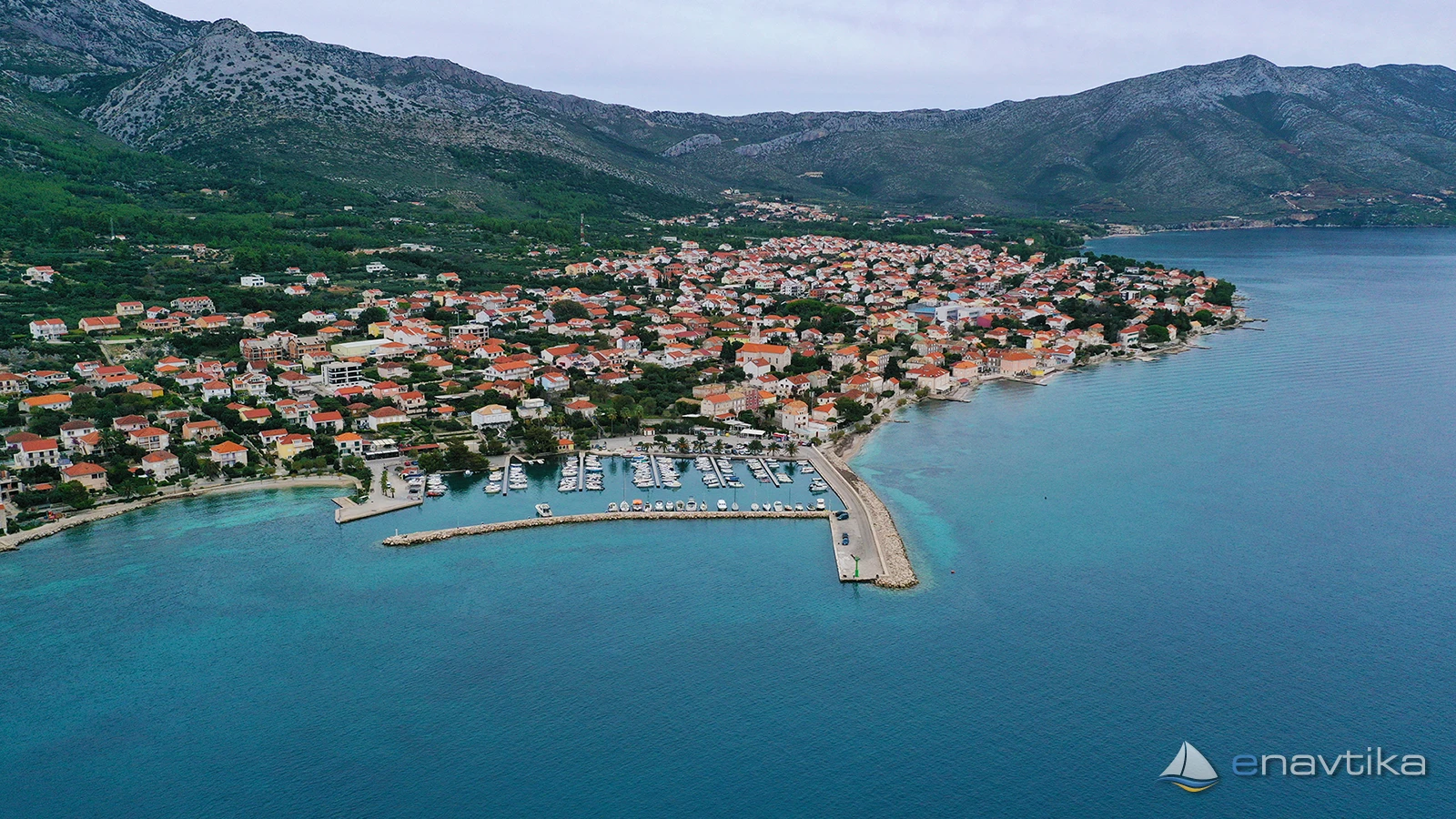
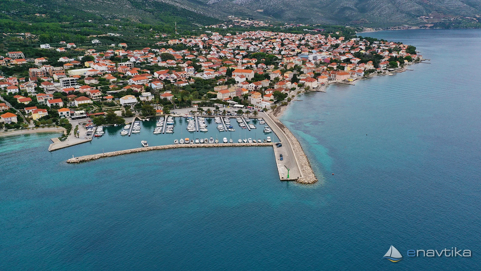
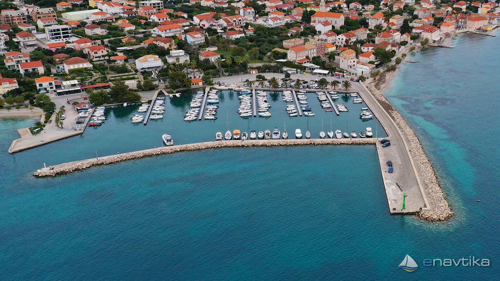
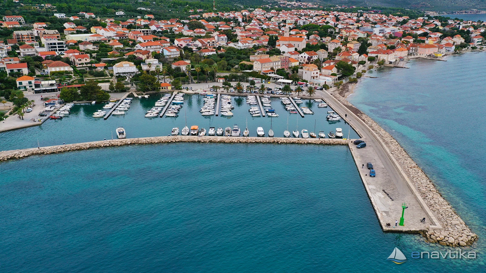
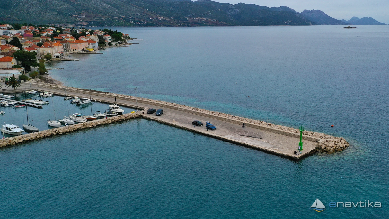
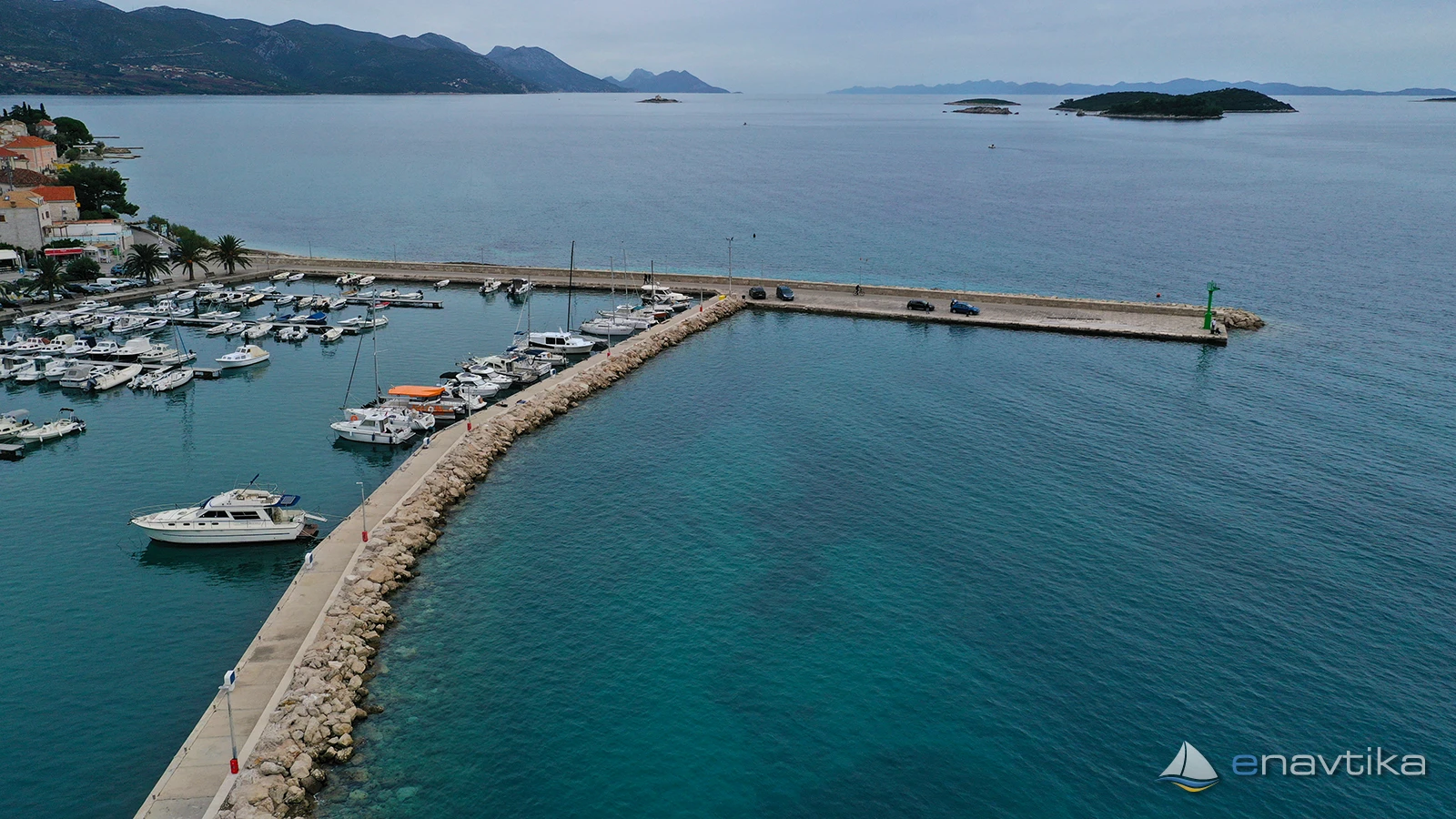
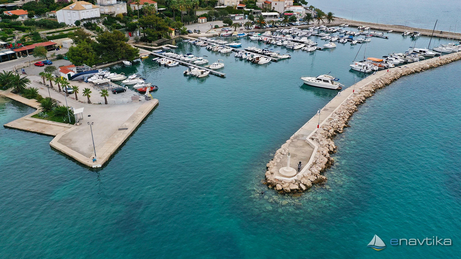
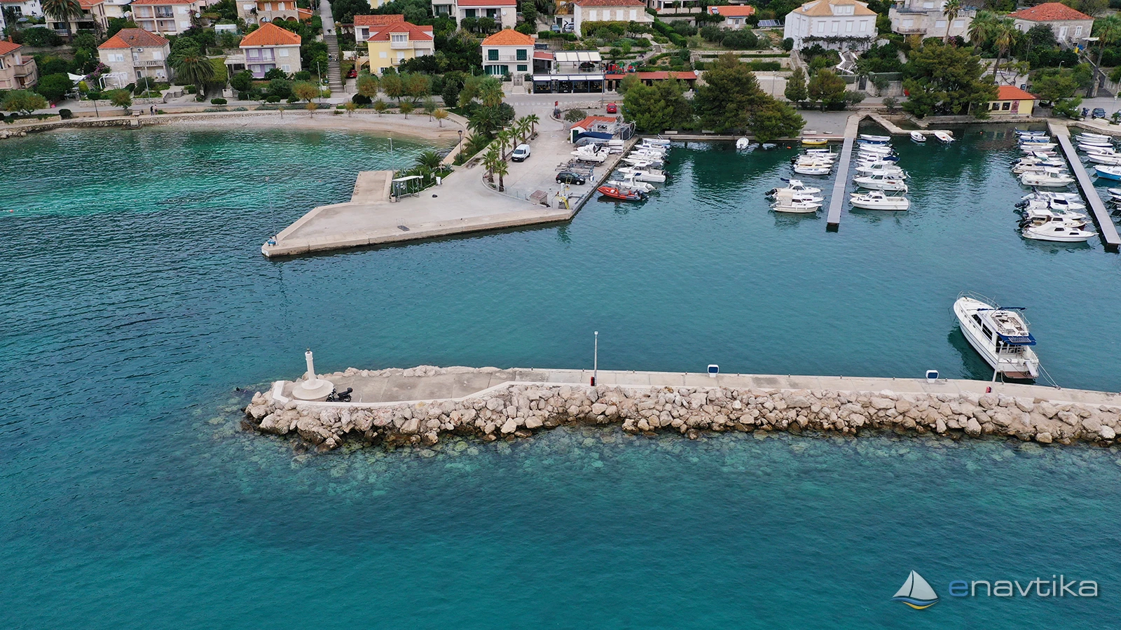
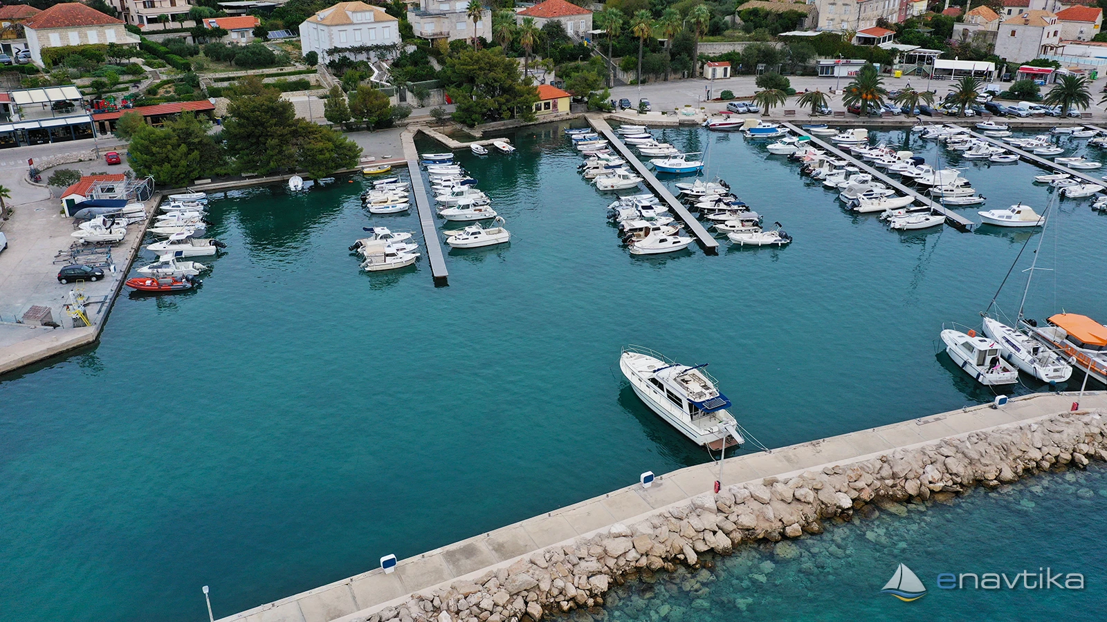
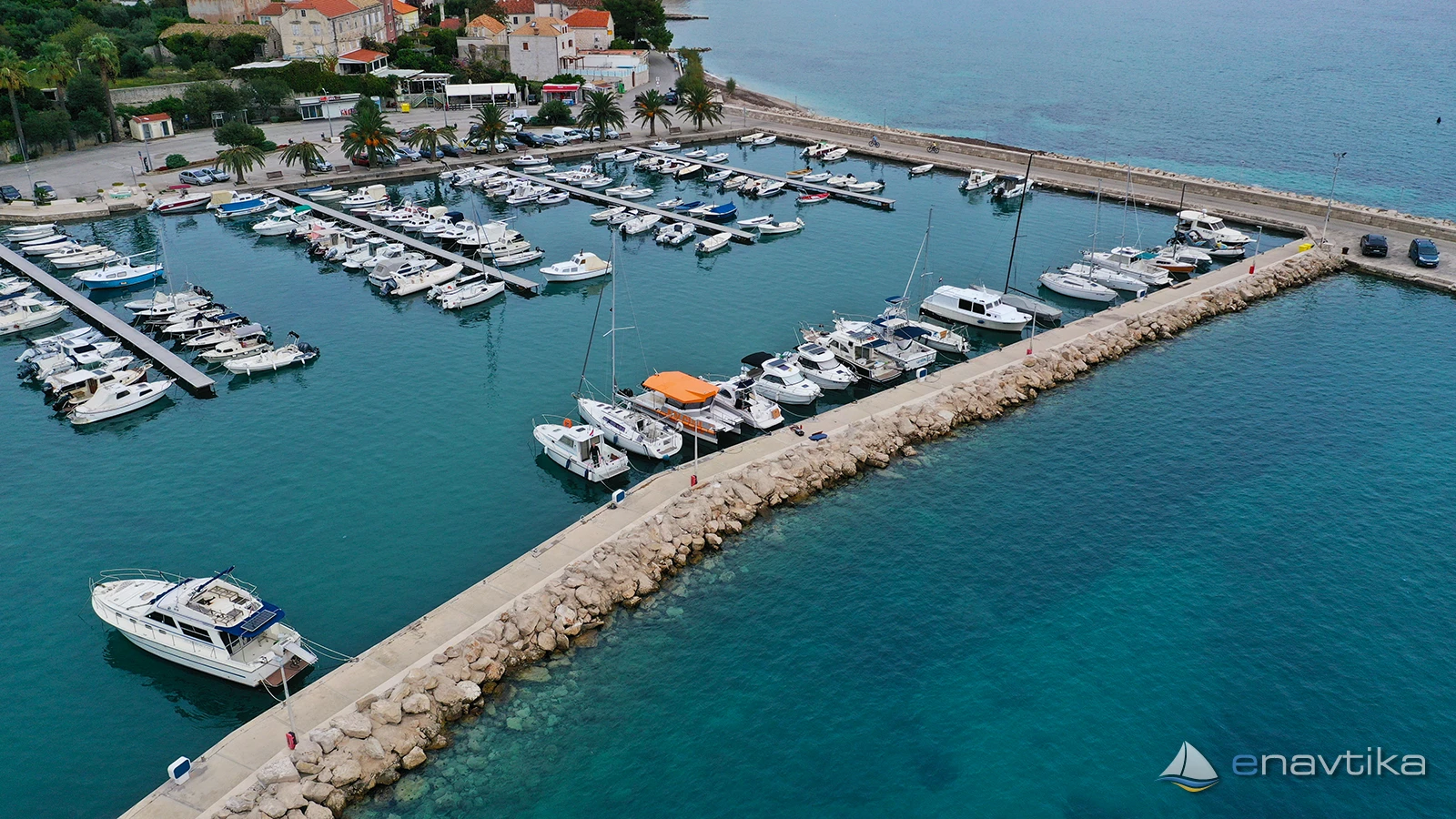
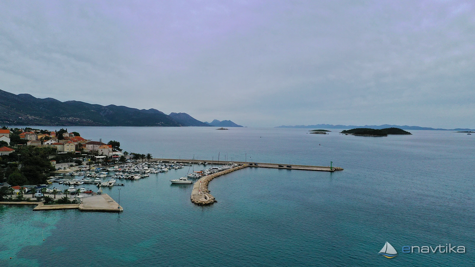
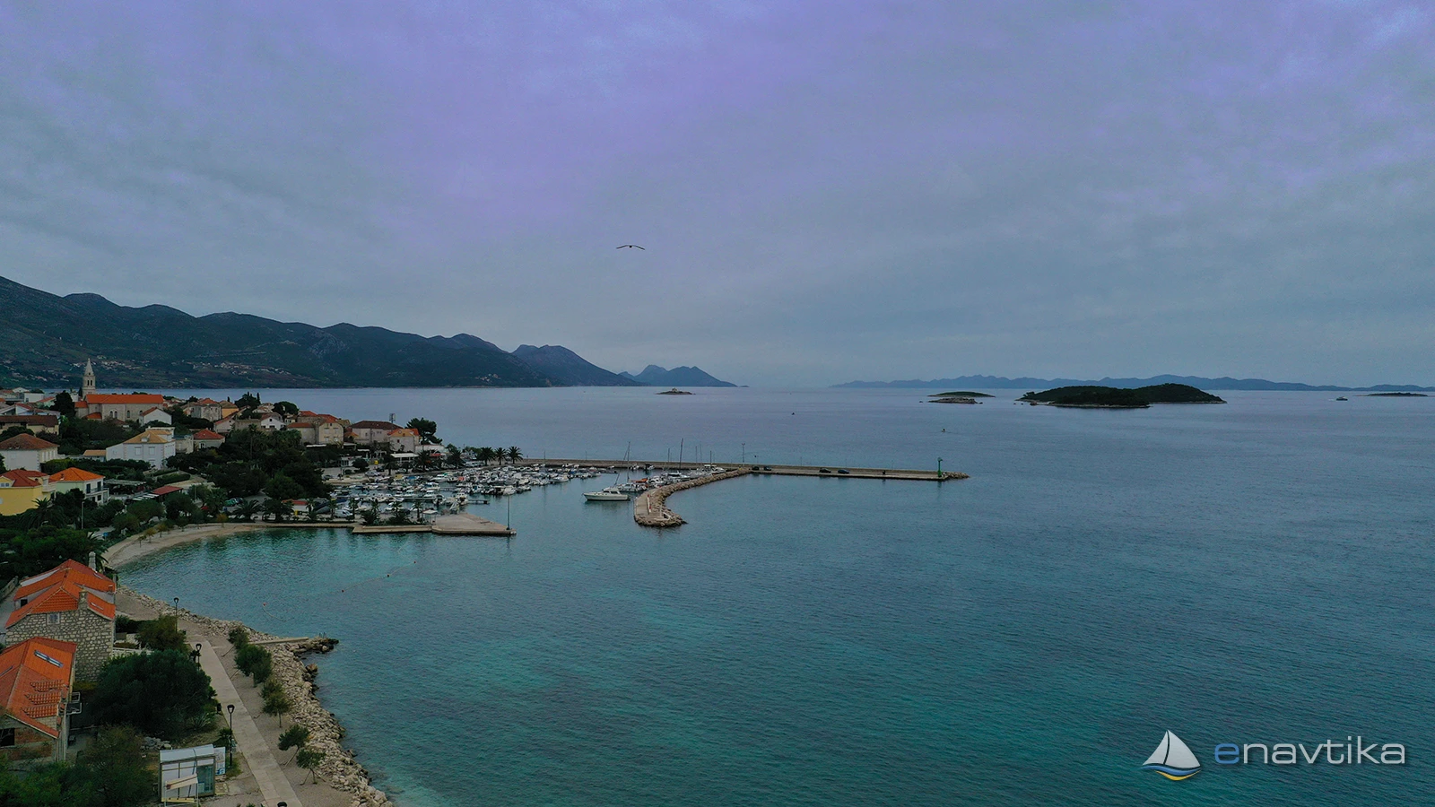
Orebič
Pelješac
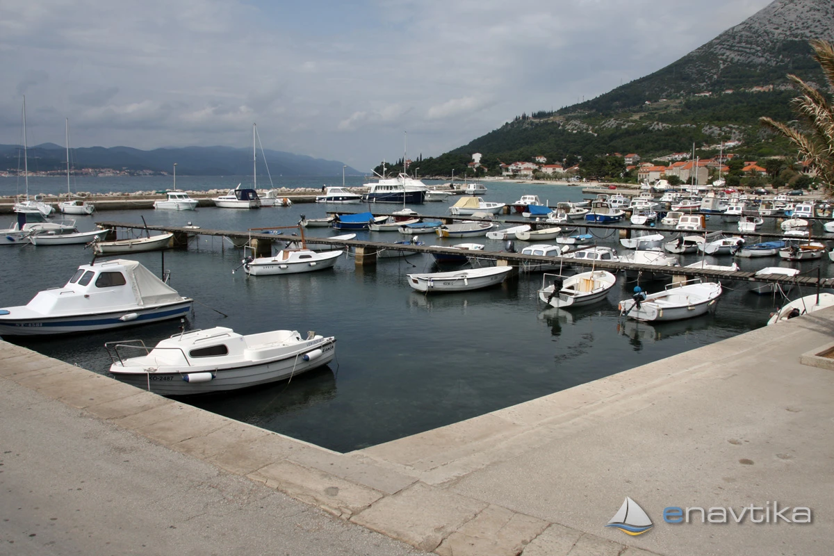
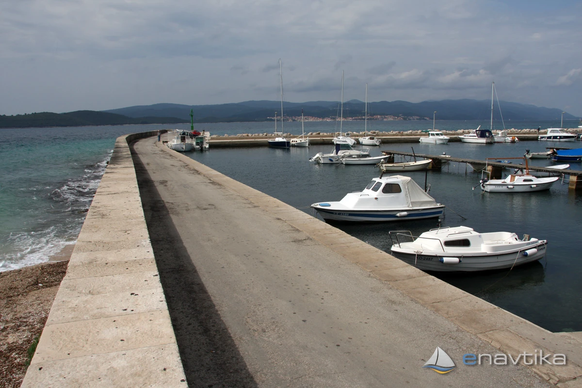
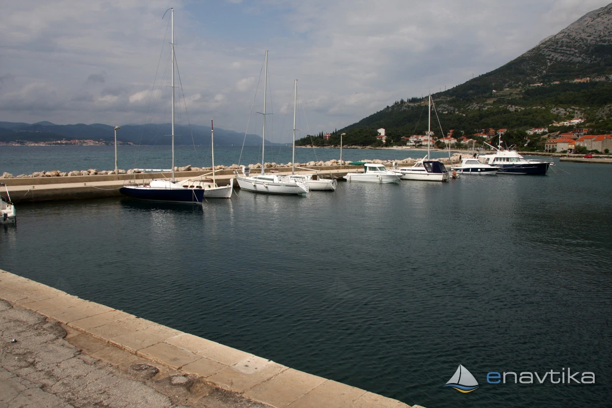
 Luka
Luka
Objavil(a) eNavtika
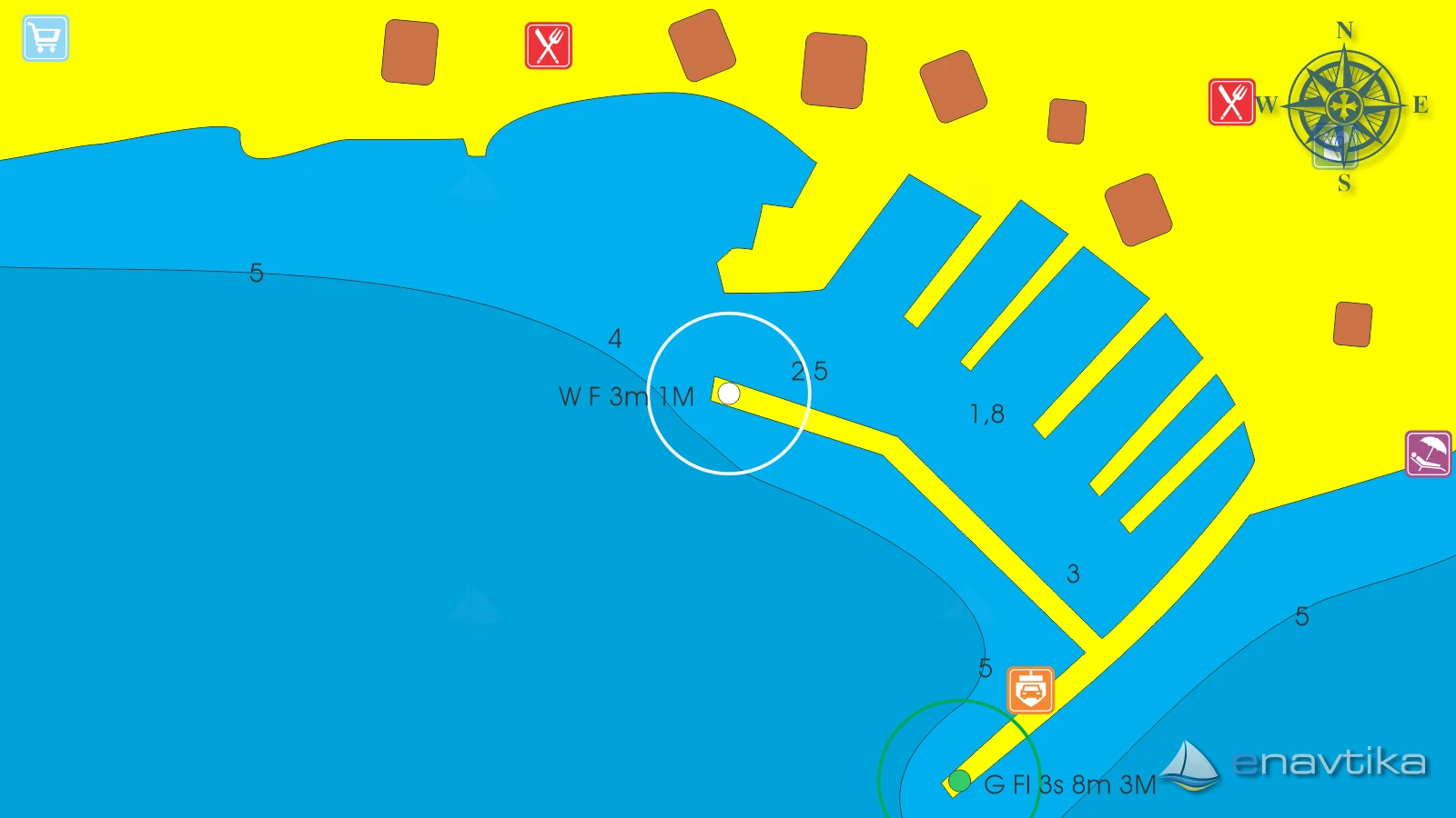
Podaci
| GPS | 42° 58' N , 17° 10' E |
| Broj vezova | 220 |
| Broj suhih vezova | 20 |
| Dubina vode | 1.0 - 4.0 m |
| Dizalica | 3,5 t |
| Tel. | + 385 20 714 366 |
| Radno vrijeme | 01.04. -30.10. |
| Benzinska postaja | 2 nm Korčula |
Info
The Port of Orebic is a ferry port connecting the Peljesac peninsula with the island of Korcula. Most of the berths in the port are intended for local vessels. Transit berths are only on the inner side of the breakwater. The water depth is less than 5 m everywhere. The port is protected from all winds. The Maestral in the NW part of the port causes waves. There are several taverns, bars and a self-service shop in the town of Orebic. However, a strong bora wind often blows in the channel. This is why Orebic is a popular destination for surfers. The nearest gas station is on Korcula, which is only 1.7 nmi away.
Zaštita od vjetra/Vrijeme

Danas
- čv
Sutra
- čv
Nedjelja
- čv
U blizini
-
 Orebič 641,2
Svjetionik
0.09 nmi
Orebič 641,2
Svjetionik
0.09 nmi
-
Orebič 641
Svjetionik
0.13 nmi
-
Vela Stupa E3481
Svjetionik
0.85 nmi
Zaštićeno
- Badija Sidrište 1.6 nmi
- Luka Korčula Sidrište 1.98 nmi
- Korčula Marina 2 nmi


Komentari