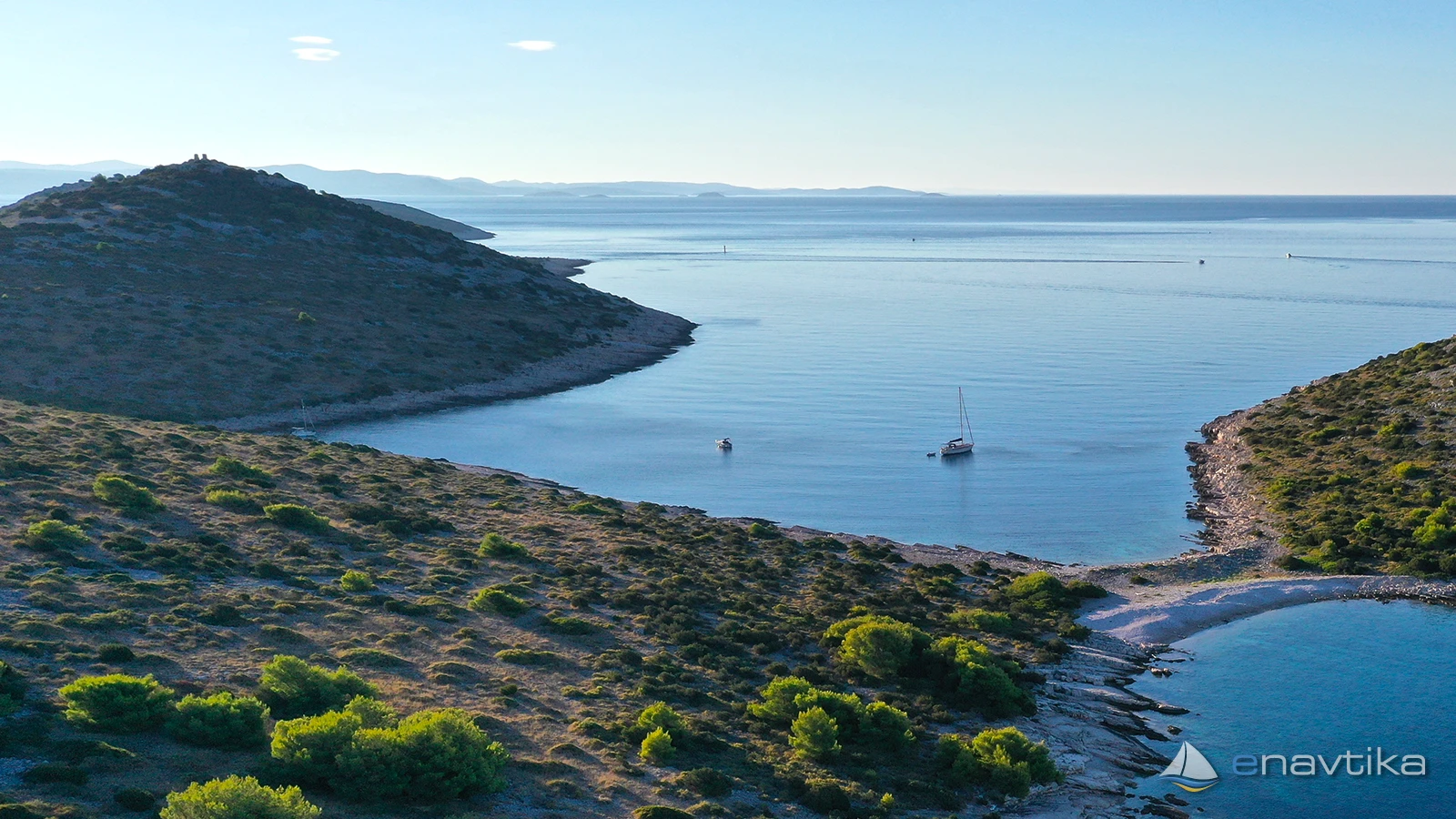
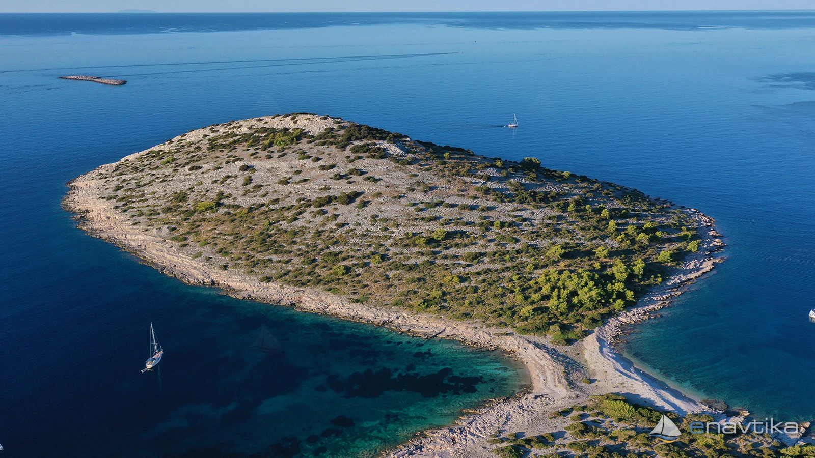
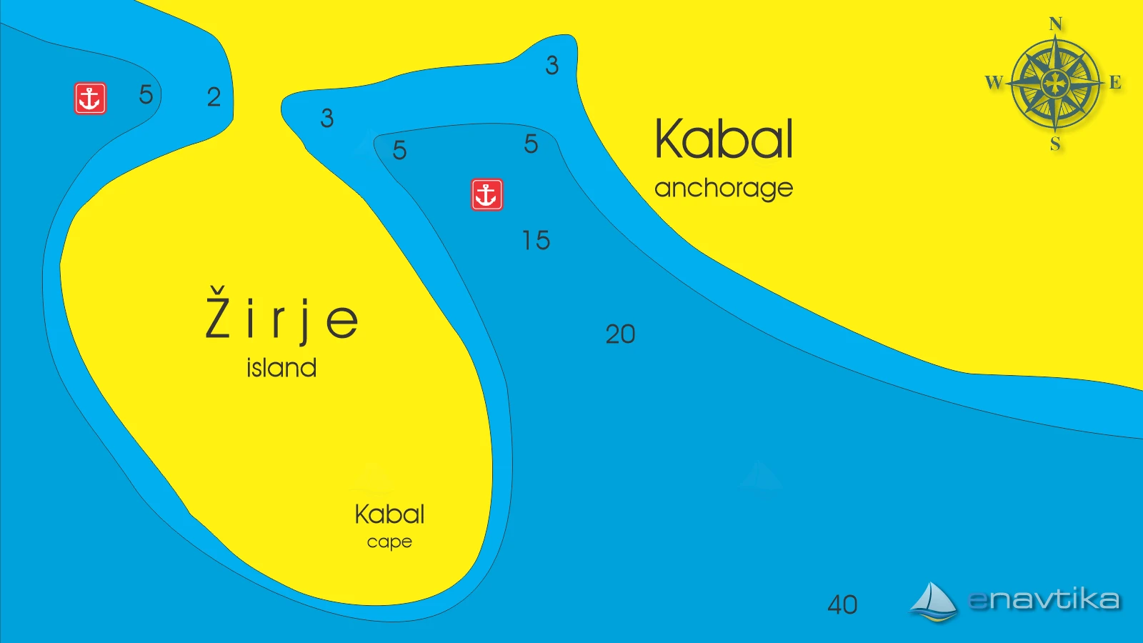
Kabal
Žirje
 Sidrište
Podaci
| GPS | 43° 37' N , 15° 42' E |
| Benzinska postaja | 10 nmi Vodice, 12 nmi Rogoznica |
| Dubina vode | 2 - 30 m |
| Mjesto | Žirje |
| Radno vrijeme | 1.1. - 31.12. |
| Broj vezova | 0 |
Info
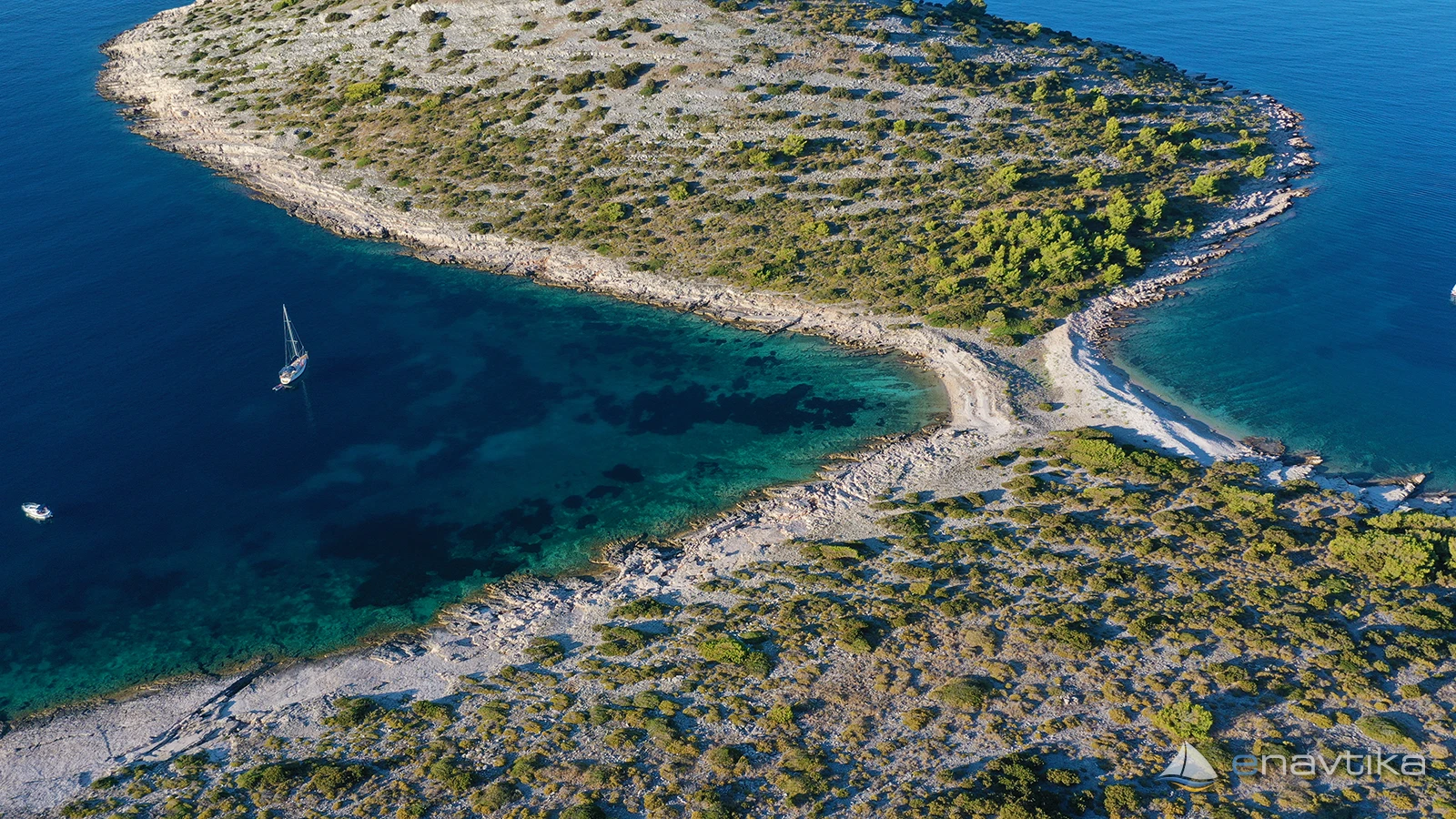
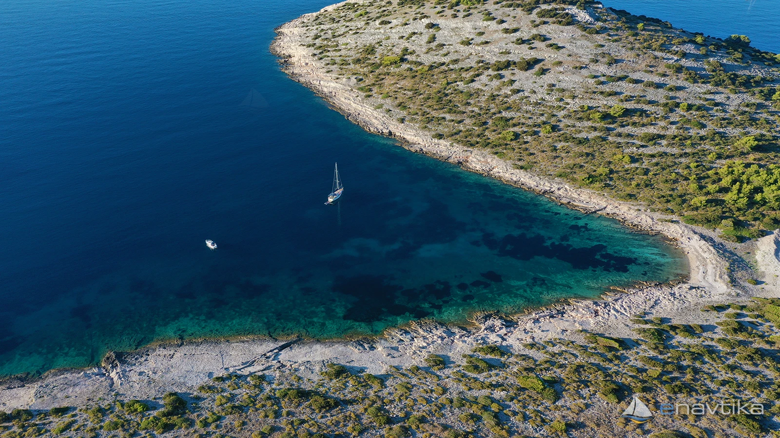
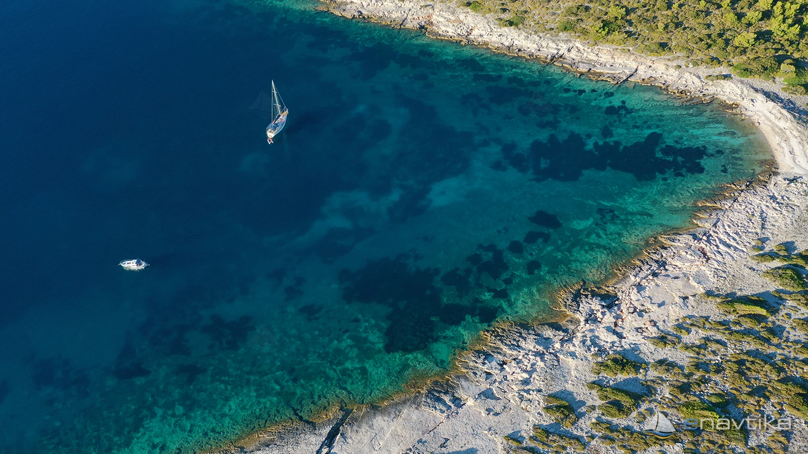
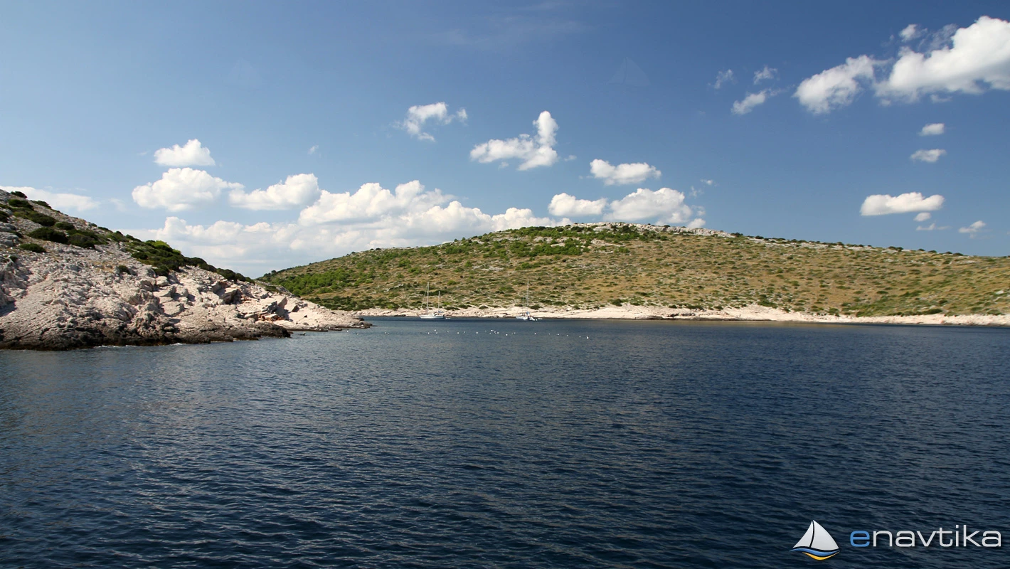
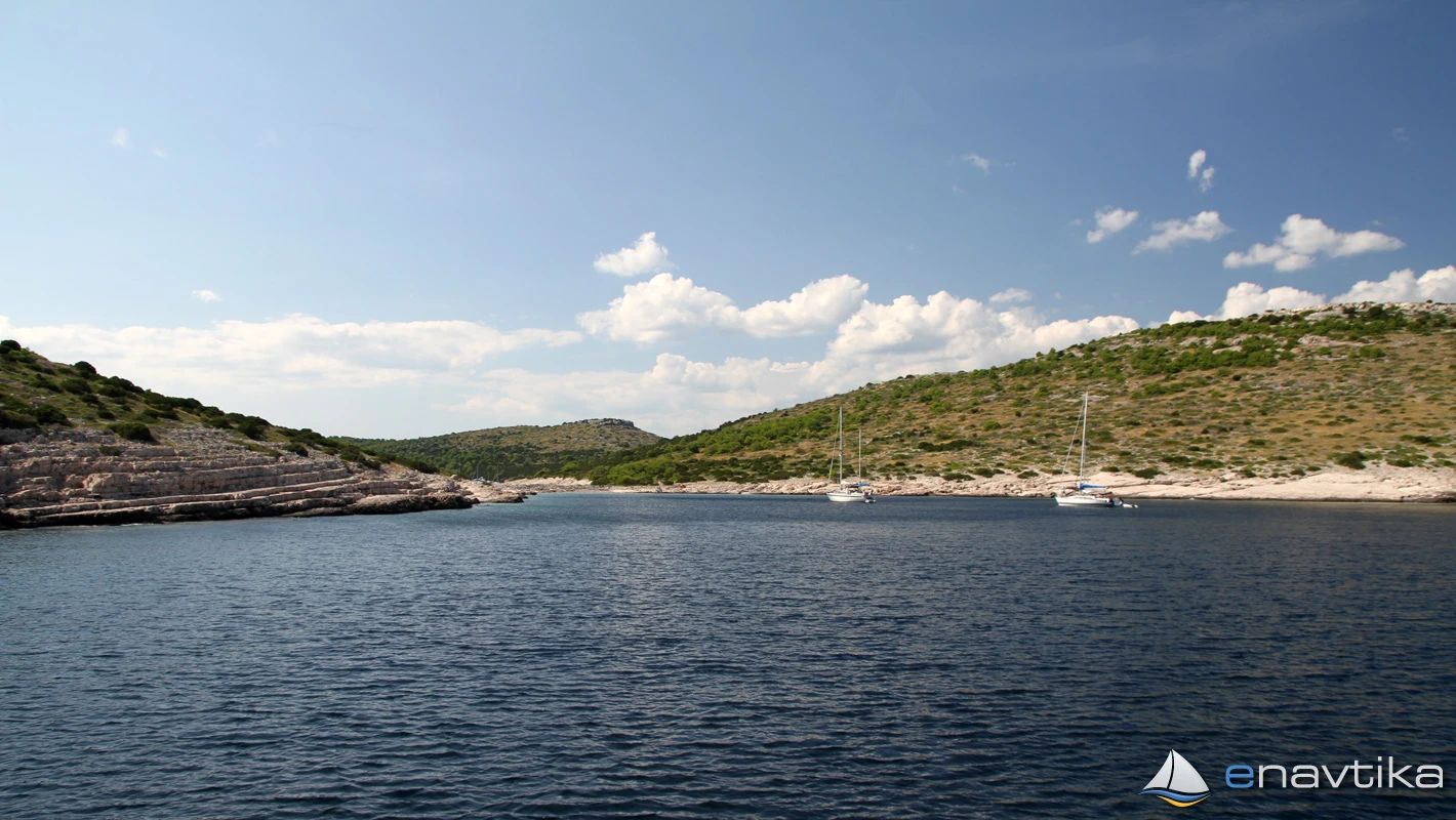
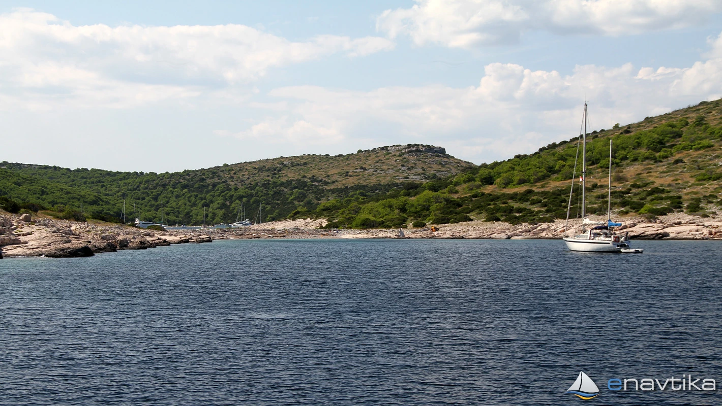
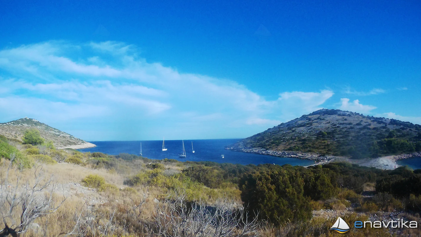
Kabal Bay and anchorage is the southernmost bay on the island of Žirje. It is well protected from all winds except southerly ones. We can anchor at depths between 2 m in the north and 30 m in the southern part of the bay. The bottom is sandy, rocky along the coast. The anchor holds well. The low part of the land between Kabal Bay and Stupica Mala does not protect the anchorage from strong westerly and northwesterly winds, which do not cause waves in the anchorage. When sailing into the bay from the southeast or between the islands of Žirje and Mažirina, we must pay attention to the Rasohe shoal, which is marked with a red lighthouse (8 °-241 ° C Bl(2) 5s 7m 5M) and it is better to sail around it on the south side. The depth of the sea where the lighthouse stands is 3 m, and in the middle between the shoal and the island of Žirje it is 4 m.
There is no offer in the bay. The nearest restaurant is in Stupica Vela Bay, 1 nmi away, and the nearest gas station is in Vodice, 10 nmi away. Garbage collection is organized from Stupica Mala Bay. Garbage bins are located along the path leading from the pier in the northern part of the bay, approximately 100 m to the east.
There is no concession granted for the bay. There is no charge for anchoring your own boat.
Zaštita od vjetra/Vrijeme

Danas
- čv
Sutra
- čv
Srijeda
- čv
U blizini
-
 Stupica Mala
Sidrište
0.5 nmi
Stupica Mala
Sidrište
0.5 nmi
-
 Rasohe
Svjetionik
0.86 nmi
Rasohe
Svjetionik
0.86 nmi
-
Stupica
Sidrište
0.91 nmi
Zaštićeno
- Japlenišče Sidrište 1.34 nmi
- Koromašna Sidrište 2.36 nmi
- Muna Luka 2.98 nmi

Cijene
| 09.10.2016 | 0,00 HRK /m/dan |

Komentari