Foto
Kuta
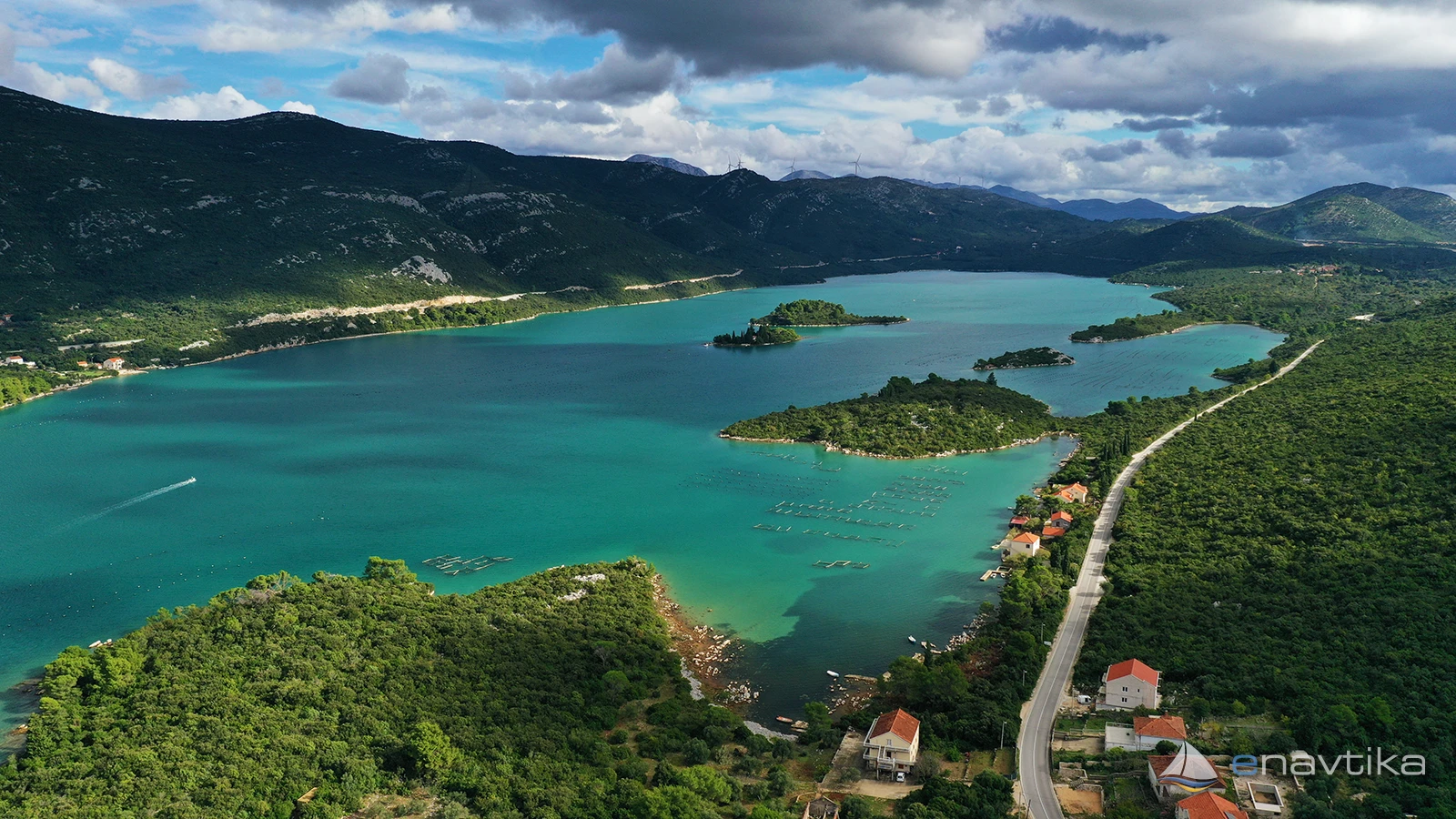
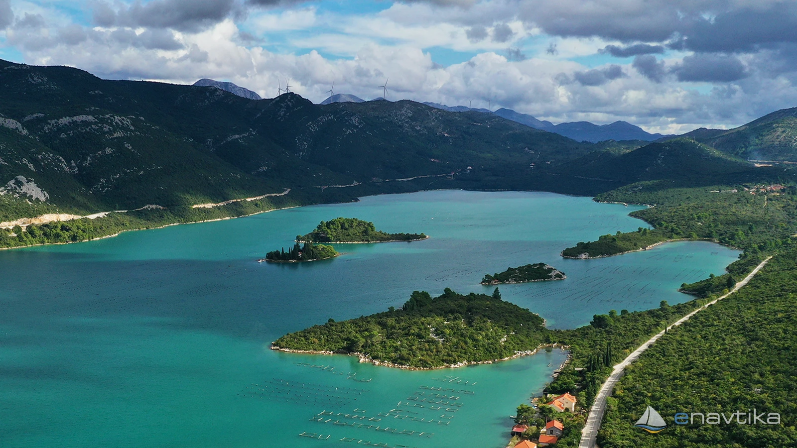
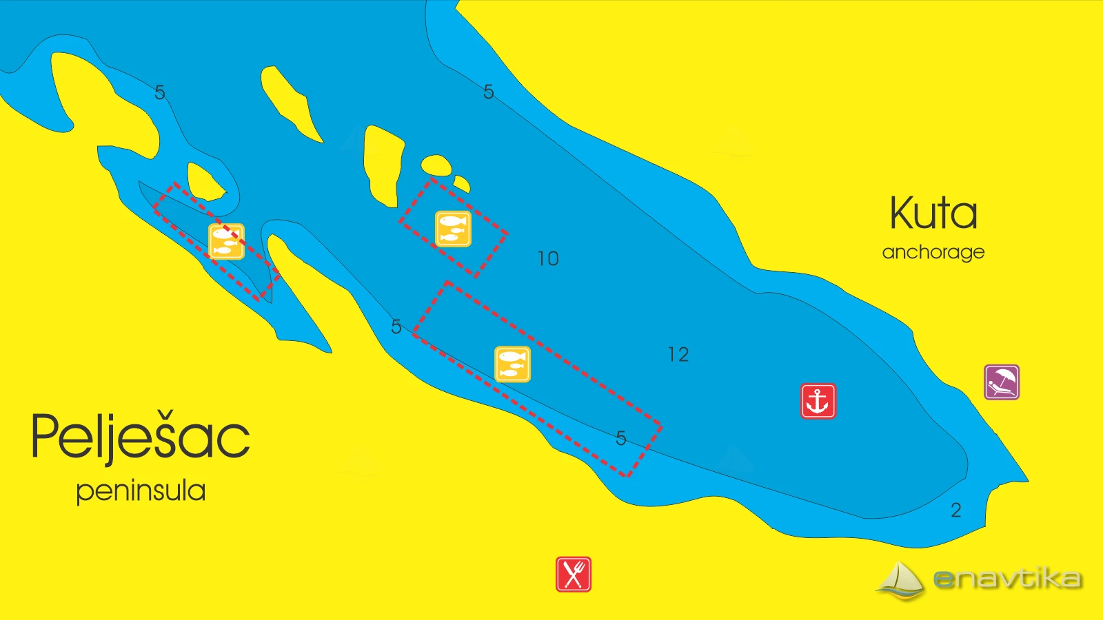
Pelješac
 Sidrište
Objavil(a) eNavtika
, 16.03.2026
Podaci
| GPS | 42° 50' N , 17° 44' E |
| Broj vezova | 0 |
| Dubina vode | 2 - 12 m |
| Radno vrijeme | 1.1. - 31.12 |
| Mjesto | Mali Ston |
| Benzinska postaja | 20 nmi Ploče |
Info
Kuta Bay is located on the southernmost part of the island of Pelješac. It is well protected from southern and eastern winds. The sea depths in the bay are between 2 and 12m. The bottom is sandy and in parts muddy. There are shelling grounds in the western part of the bay. Anchoring within 150m of the shelling grounds is prohibited. The nearest tavern is in the village in the southwest of the bay or in the port of Mali Ston. The nearest gas station is in Ploče, which is 20 nmi away.
Zaštita od vjetra/Vrijeme

Danas
- čv
Sutra
- čv
Petak
- čv


Komentari