
Video
Foto
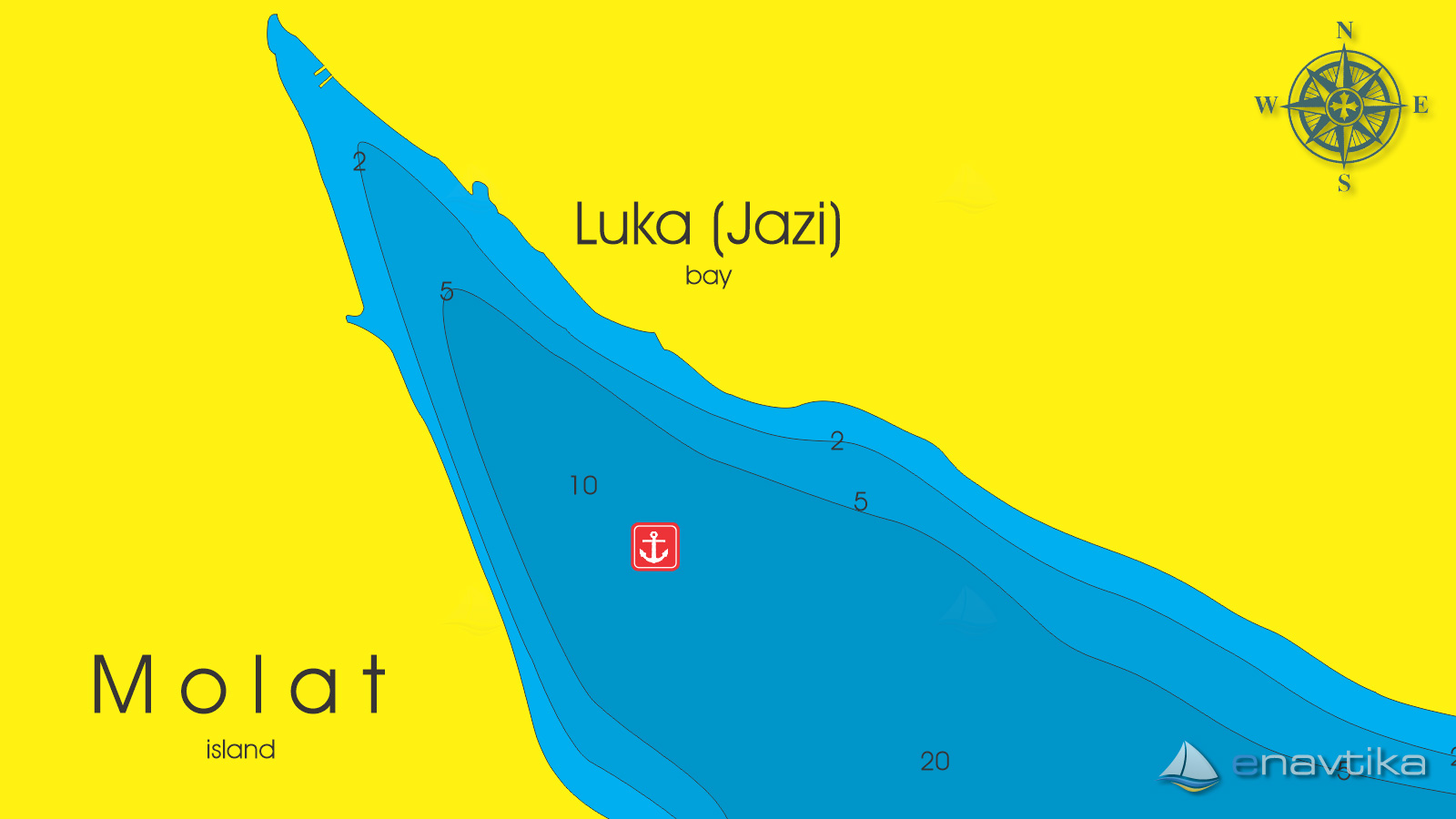
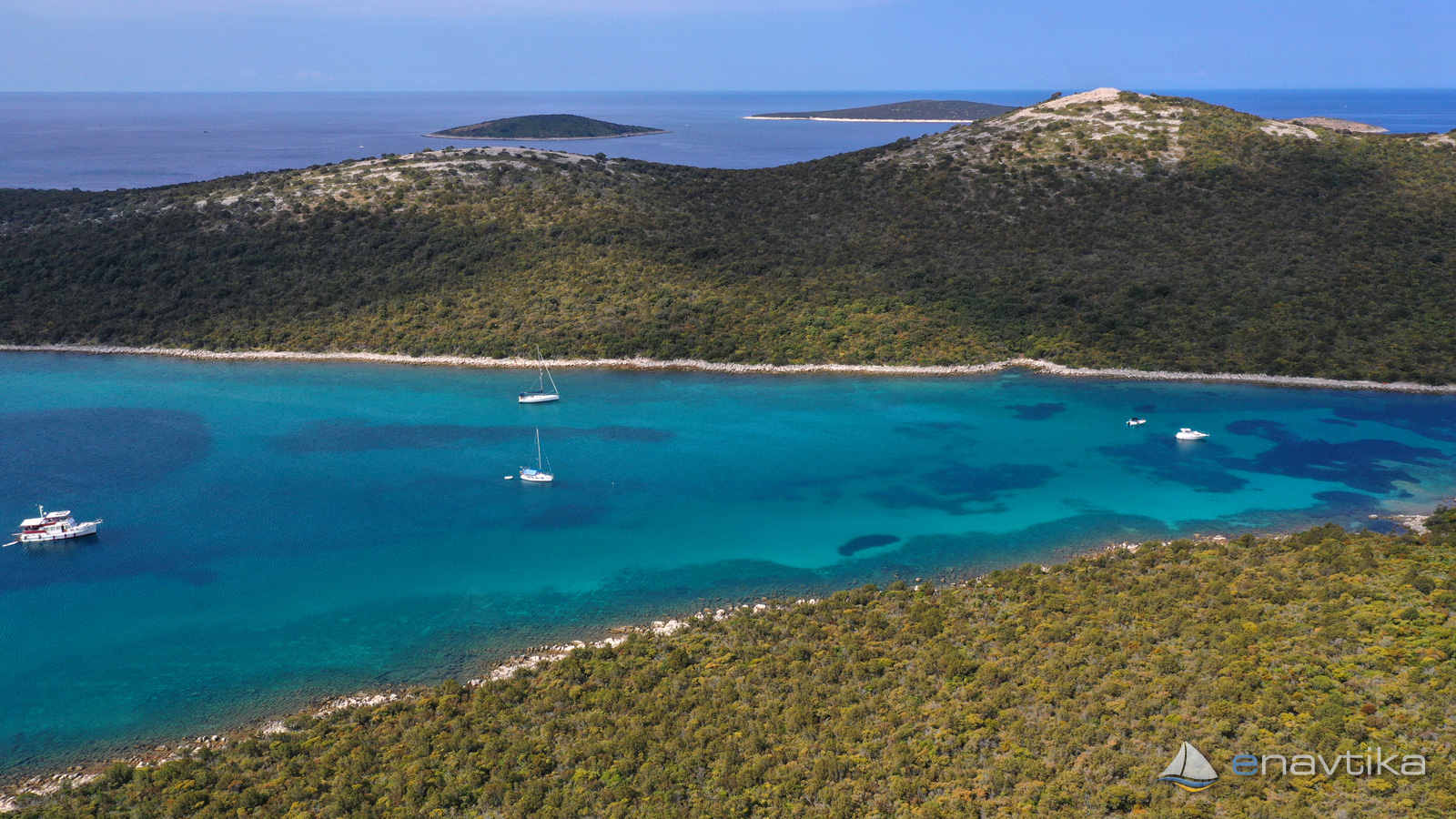
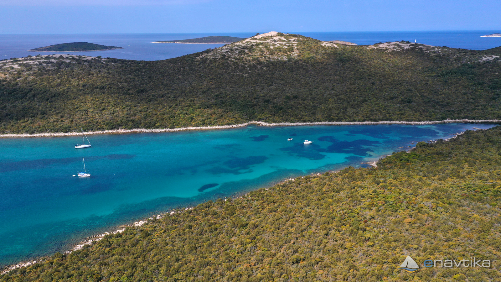
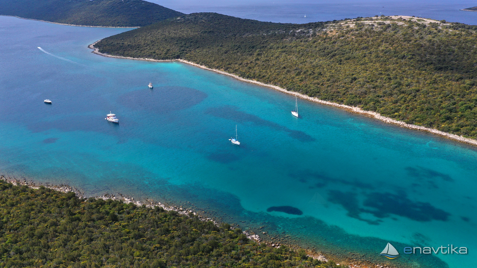
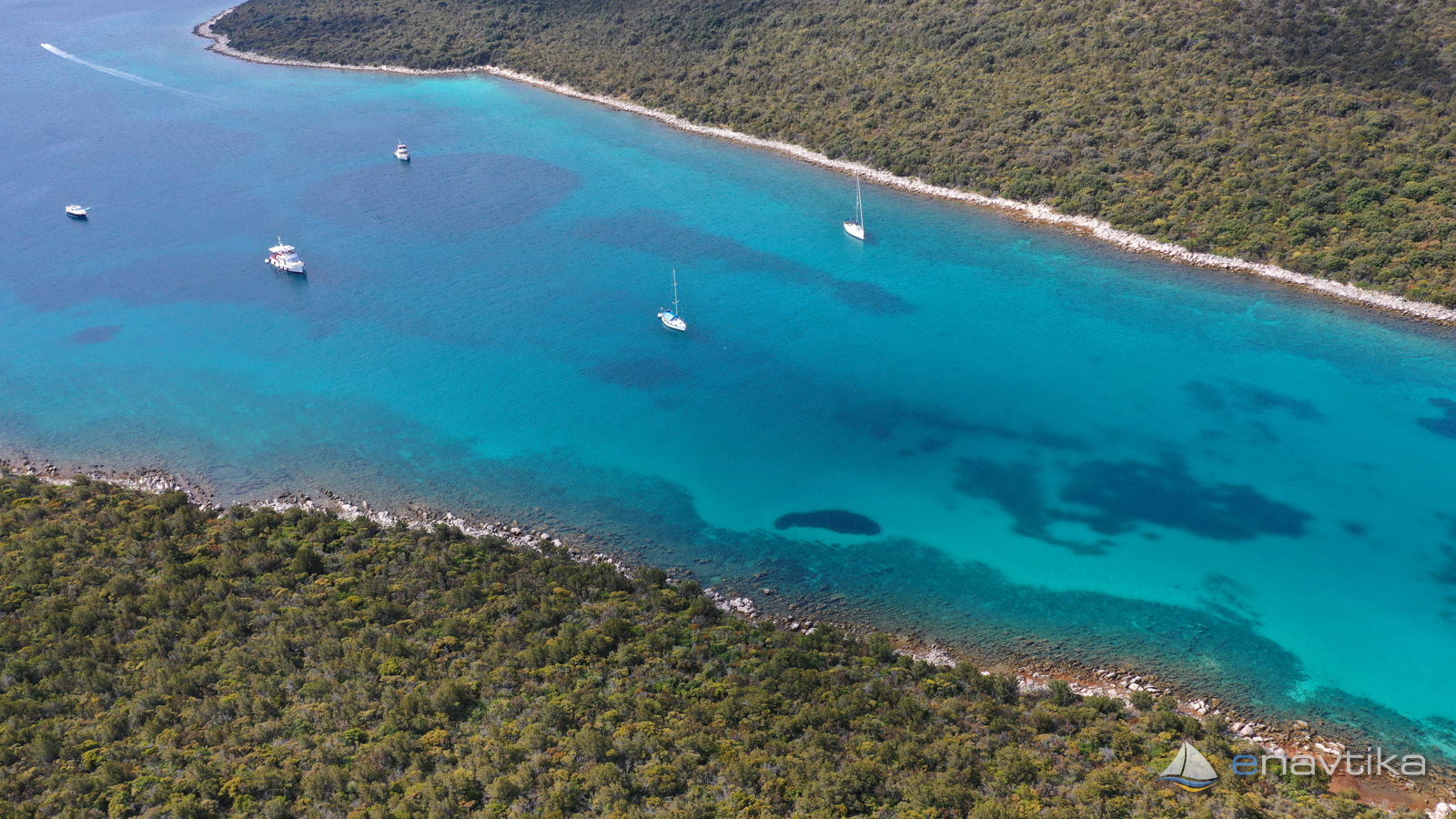
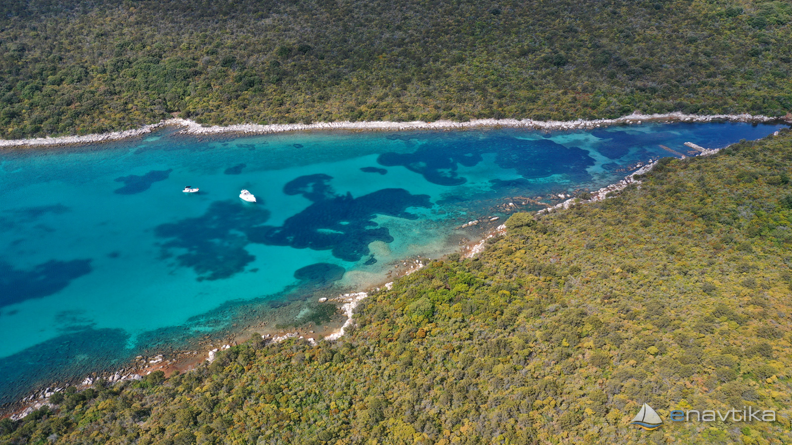
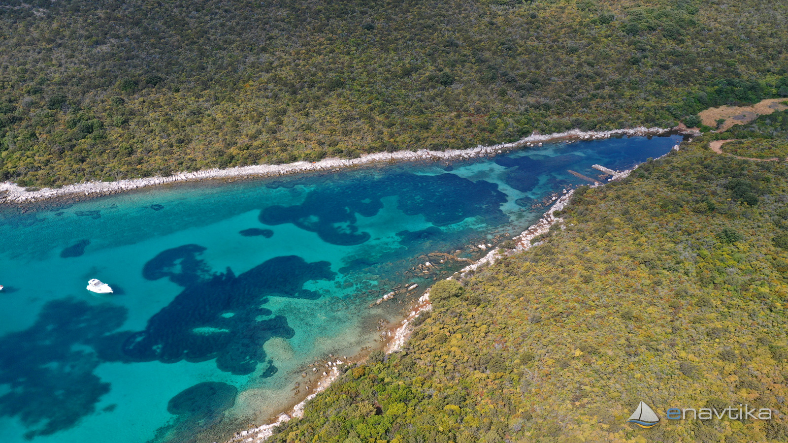
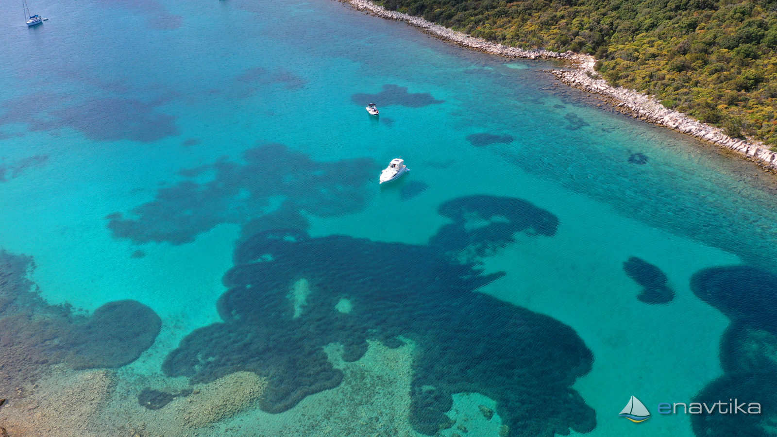
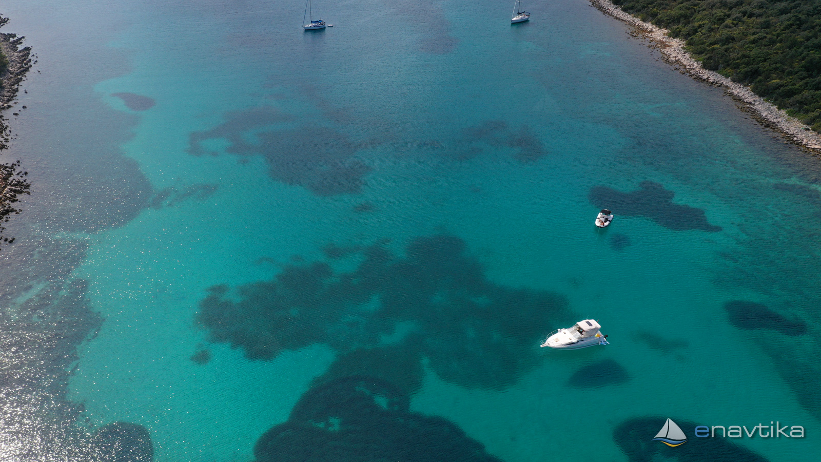
Luka Jazi-Molat
Molat
 Sidrište
Objavil(a) eNavtika
Podaci
| GPS | 44° 14' N , 14° 48' E |
| Benzinska postaja | 18 nm - Zadar |
| Dubina vode | 1,5 - 10 m |
| Mjesto | otok Molat |
| Radno vrijeme | 1.1. - 31.12. |
Info
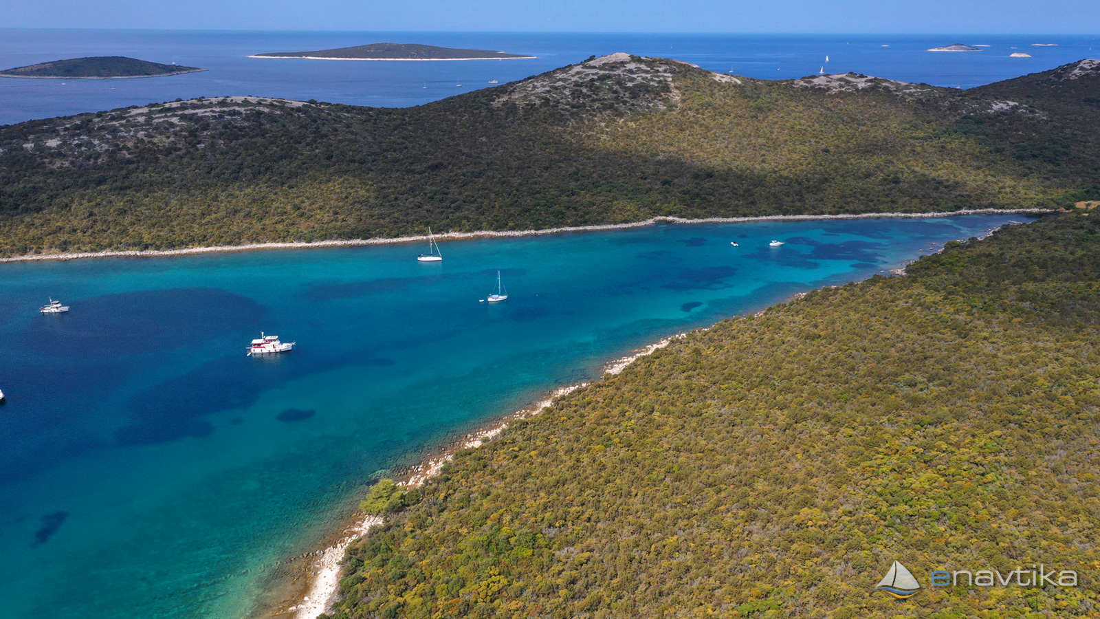
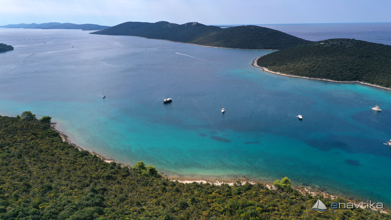
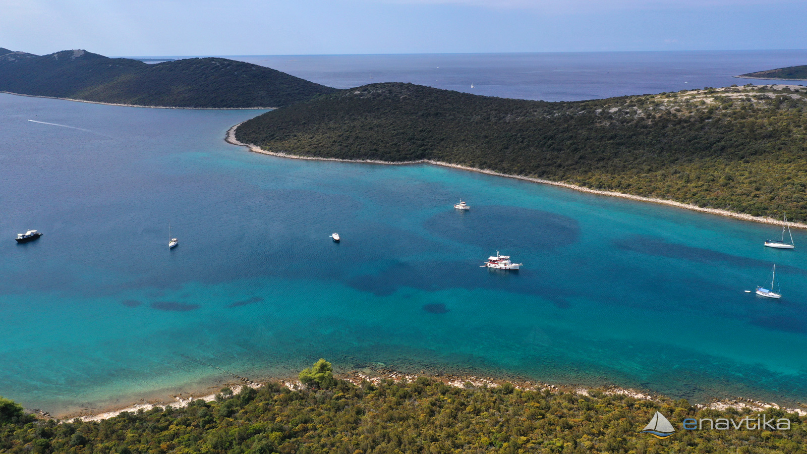
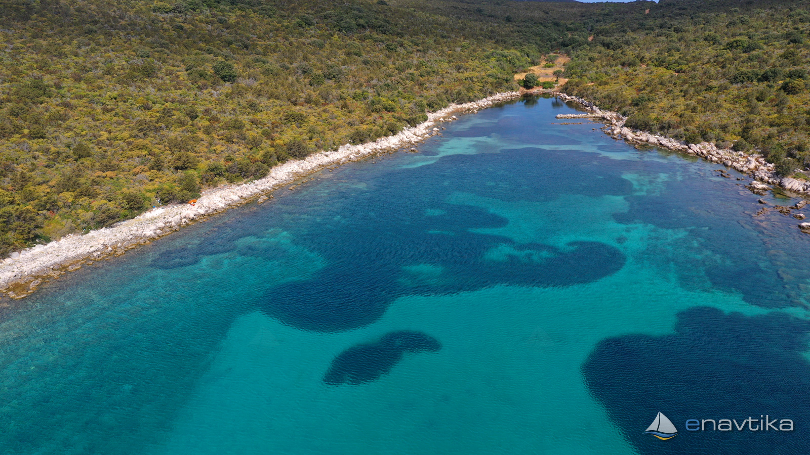
Luka bay or Luka Jazi bay in the northernmost part of the Brgulj bay on the island of Molat. The bay is well protected from all winds except the south. We can anchor at depths between 2 and 15 m. The bottom is sandy, in parts overgrown with marine vegetation. The anchor holds well in the sandy part. In the extreme northern part, next to a small stone pier, the depth of the sea falls below 1 m. There is no supply in the bay. The nearest inn and shop is in Brgulje. A macadam road leads to the bay, connecting it to Brgulje, Zapuntel and Molat.
Zaštita od vjetra/Vrijeme

Danas
- čv
Sutra
- čv
Petak
- čv


Komentari